

 Brazil
 Argentina
 Bolivia
 Chile
 Colombia
 Ecuador
 Guyana
 French Guiana
 Falkland Islands (Malvinas)
 Paraguay
 Peru
 Suriname
 Uruguay
 Venezuela
 Germany
 Austria
 Belgium
 Croatia
 Denmark
 Spain
 Finland
 Greece
 the Netherlands
 Hungary
 Ireland
 Iceland
 Italy
 Luxembourg
 Norway
 Poland
 Portugal
 the United Kingdom
 the Czech Republic
 Sweden
 Switzerland
 Turkey
 the United States
 Mexico
 the Dominican Republic
 South Africa
 Australia
 Fiji
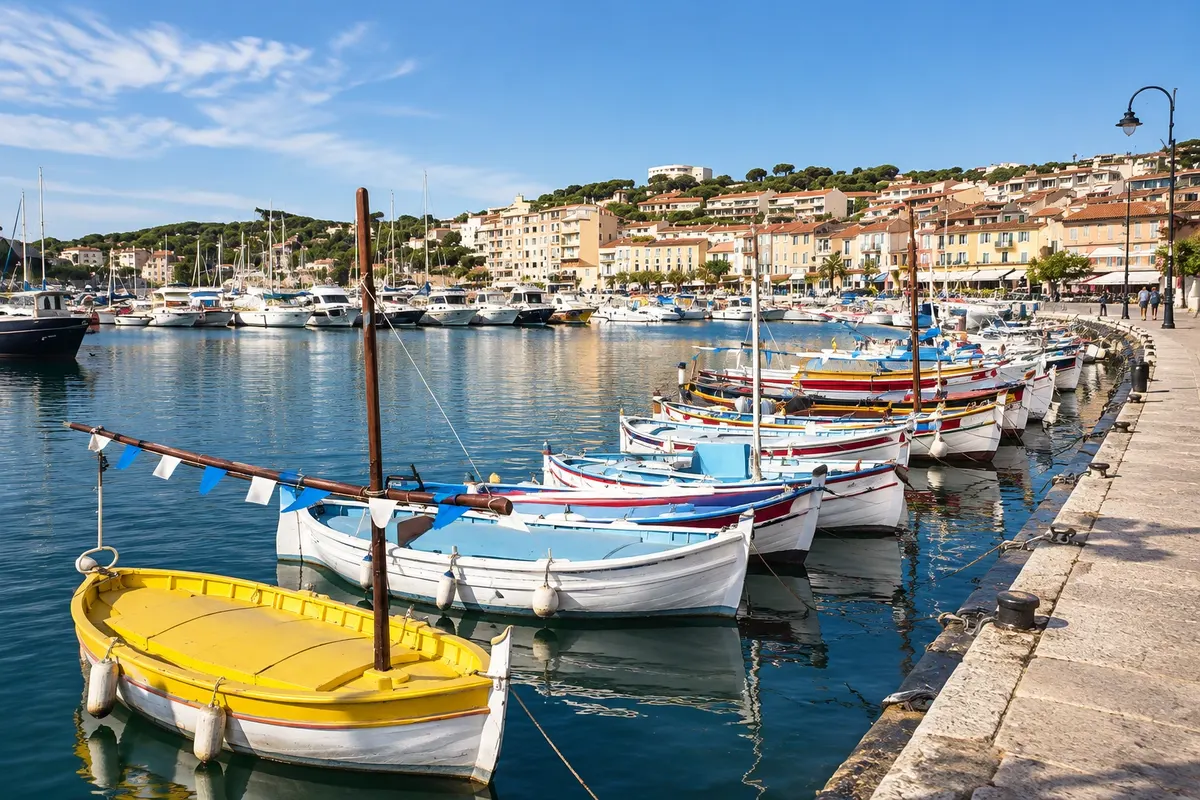
Village · Marselha, Provence-Alpes-Côte d'Azur
Cassis
A fishing village about 20 km east of Marselha, with a harbor of colorful houses, beaches, its own white wines and boat departures for the calanques. Above it rises Cap Canaille, with the highest sea cliffs in France.
Illustrative images. The pictures in this guide are illustrations based on the real place, not photographs, and may differ from it.

Discover
About Cassis
Cassis sits on the coast about 20 km east of Marselha, between the Massif des Calanques and Cap Canaille. The center revolves around the harbor, with painted houses, fishing boats and cafés on the quay. Because it's close and easy to reach, it attracts many visitors in summer.
From the harbor boats depart for the calanques of Port-Miou, Port-Pin and En-Vau, and on foot you can reach Port-Miou in about 30 minutes, the start of the trail to the others. The village's best-known beach is Plage du Bestouan, a pebble beach.
Vineyards of the AOC Cassis grow on the surrounding slopes; one of France's oldest appellations, it is known above all for its white wines and also for rosés. Do not confuse it with crème de cassis, the Burgundy blackcurrant liqueur that only shares the name.
To the east of the village, Cap Canaille rises above the sea with reddish rock. Its cliffs, the Falaises Soubeyranes, reach 394 m and are the highest sea cliffs in France. The Route des Crêtes, the road linking Cassis to La Ciotat along the ridge, has viewpoints overlooking the cape and the bay.
Before you go
Practical information
Cidade Turismo reviews its information regularly, but something may have changed. Check with the place before planning your trip.
How much time to set aside
Half a day for the village and the harbor. A full day with a boat trip or hiking in the calanques and along the Route des Crêtes.
Best time
April to June and September to October, with fewer crowds than in summer. The Route des Crêtes can be closed due to strong winds or fire risk, especially from June to September: check before you go.
How to get there
From Marselha by bus or regional train (TER). Cassis train station is outside the center and you need to take a local bus or walk to the harbor. By car, about 30 to 45 minutes depending on traffic; parking is difficult in summer.
Tip
To see Cap Canaille head-on, drive up the Route des Crêtes or view it from the harbor quay at dusk. Boats to the calanques run more frequently in the morning.
Get your questions answered
Frequently asked questions about Cassis
How to get from Marselha to Cassis?
By bus, regional train, or car. The train station is outside the center; from there you need to take a local bus or walk to the port. Check schedules before you go.
What is the Cap Canaille?
It is the headland east of Cassis, with reddish rock. The adjacent cliffs reach 394 m, the highest in France, and can be seen from the Route des Crêtes.
Is Cassis related to the cassis liqueur?
No. The wine of Cassis is white or rosé, from the local AOC. Crème de cassis is a blackcurrant liqueur from Burgundy.
Can you see the calanques departing from Cassis?
Yes, on sightseeing boats that depart from the port or via the trail from Port-Miou.