Caparaó (Alto Caparaó)

MG · Brazil

Caparaó (Alto Caparaó)

The Serra do Caparaó, on the border of Minas Gerais and Espírito Santo: the Parque Nacional do Caparaó, the climb to Pico da Bandeira at 2,892 meters, and cold waterfalls among high-altitude fields.

Southeast

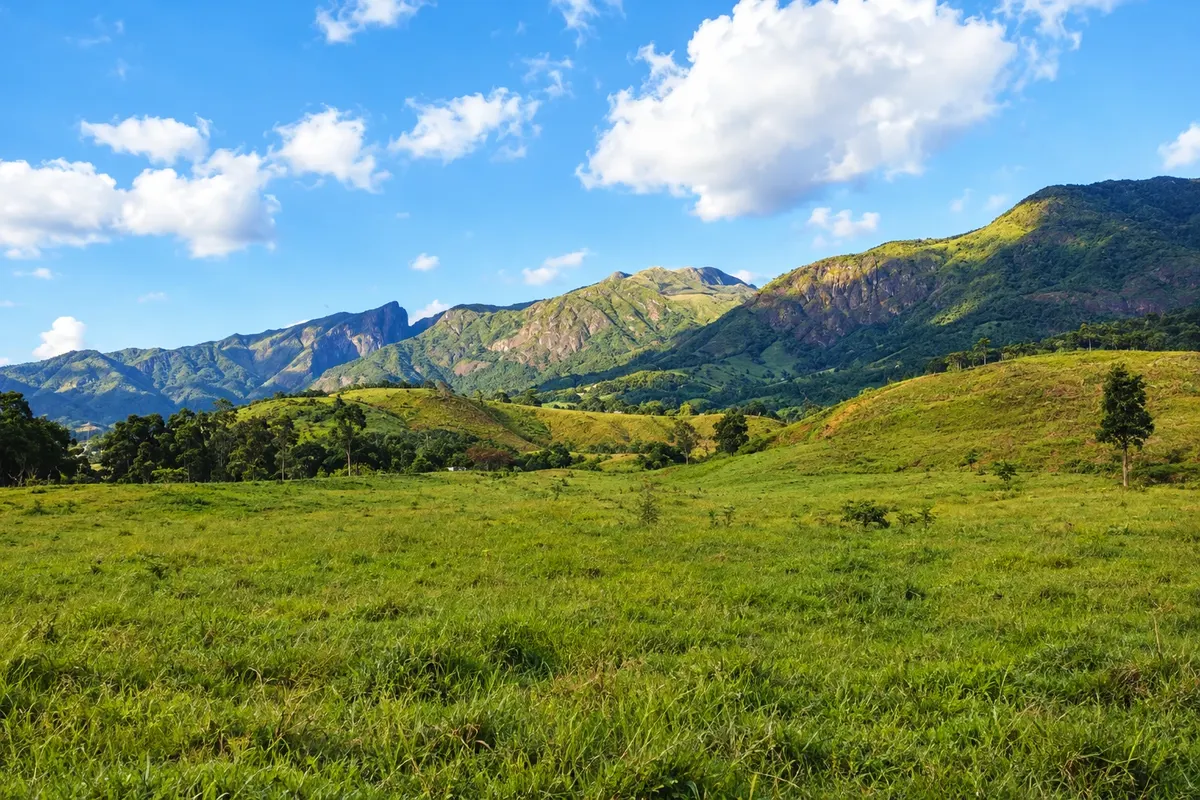
In the photo: Maciço do Caparaó seen from Alto Caparaó

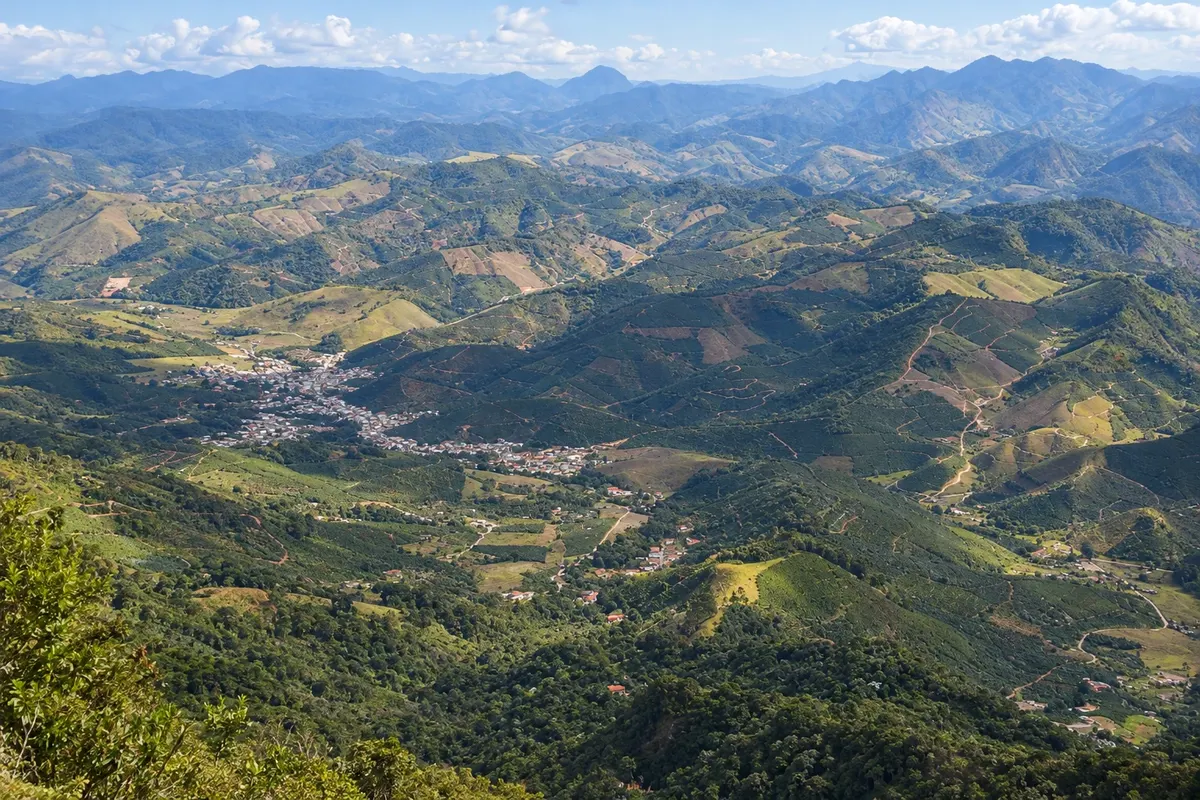
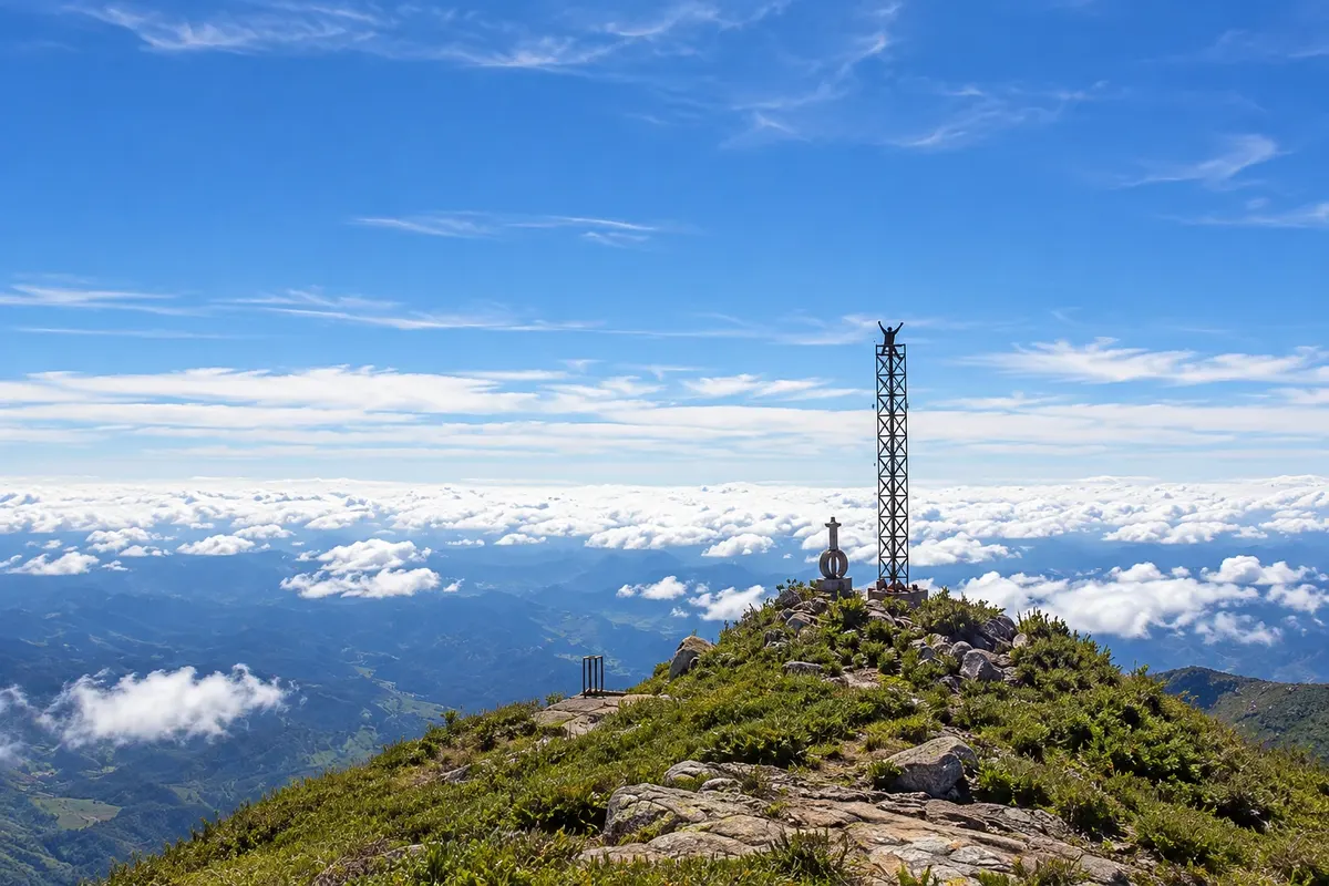
Illustrative images. The pictures in this guide are illustrations based on the real place, not photographs, and may differ from it.

Get it on Google Play Send your photos

Get to know the place

A region to enjoy
at your own pace.

Caparaó is the mountain range that rises on the border between Minas Gerais and Espírito Santo, in the eastern part of Minas’s Zona da Mata, and it is also the name of the national park that protects it. At its summit sits Pico da Bandeira, at 2,892 meters, the third highest point in Brazil, and several other peaks above 2,000 meters, such as Cristal. The range is granite, covered by Atlantic Forest on the slopes and by high-altitude fields on the top, where cold can cause frost on winter nights.

Parque Nacional do Caparaó was created in 1961 and covers about 31,800 hectares, most of it on the Espírito Santo side. On the Minas side, the entrance is at Alto Caparaó, a small town at the foot of the range where the park headquarters and visitor center are located. From there, an internal road climbs to the Tronqueira, at about 1,970 meters, where the trail to Pico da Bandeira starts, with an optional overnight at the Terreirão campsite.

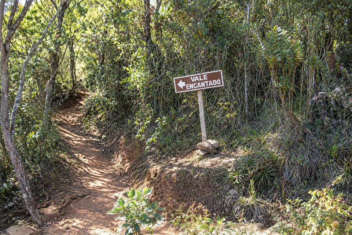
Besides the peak, the Minas side of the park offers short walks for those who won’t climb: Vale Verde, with clear-water pools near the gate, Cachoeira Bonita and Vale Encantado, next to the Tronqueira. The surrounding region has coffee farms, and the range produces specialty coffees.

The nighttime ascent to watch sunrise from the summit is an old tradition, and the park controls access, with reservations for campsites and rules for those who climb in the early hours.

This destination brings together 1 city: Alto Caparaó.

Share: WhatsApp
Traveler, share your experiences through photos Up to 5 photos of each place you visited.

One destination, many paths

The cities on this trip

Start with one city or combine several in your itinerary.

Where Caparaó (Alto Caparaó) is The star marks the nearest capital, Vitória.
VitóriaAlto Caparaó

Mapa: @svg-maps/brazil, CC BY 4.0

How to get there: Caparaó (Alto Caparaó)

✈ Aeroporto de Vitória – Eurico de Aguiar Salles (VIX), in Vitória · 230 km to Alto Caparaó

From Belo Horizonte, follow BR-262 to Manhuaçu, then via Manhumirim and Alto Jequitibá to Alto Caparaó, about 330 km. From Vitória it’s about 225 km via BR-262. The most used airport is Vitória. There are buses from Belo Horizonte and Vitória to Manhumirim and Alto Caparaó, with limited schedules.

The local experience

Things to do in Caparaó (Alto Caparaó)

Alto Caparaó · MG · Mountain

Pico da Bandeira

Third highest point in Brazil, at 2,892 meters, on the border between Minas Gerais and Espírito Santo. The trail on the Minas side departs from Tronqueira and is about 6.9 km to the summit, with an optional overnight at Terreirão.

Discover Pico da Bandeira

Alto Caparaó · MG · Park

Caparaó National Park

A national park of about 31,800 hectares on the border of Minas Gerais and Espírito Santo, created in 1961. On the Minas side you enter via Alto Caparaó, with hikes to Vale Verde, Cachoeira Bonita and Vale Encantado.

Discover Caparaó National Park

Before you go

Practical information

A little planning leaves more time to enjoy the journey.

When to go

From May to September is the dry season: the sky is usually clearer at the summit, but nights up high are very cold, with possible frost. From November to March it rains a lot, trails become slippery and clouds often cover the summit. April and October are transition months. Winter holiday weekends fill the campsites.

The seasons shown are the most usual ones; nature doesn't always follow the calendar.

How many days to stay

Two days allow for climbing Pico da Bandeira, with an overnight at Terreirão or in a one-day ascent, and for the short walks to Vale Verde and Cachoeira Bonita. With three days there is time to rest and visit regional coffee farms. It’s not a day-trip destination from the capitals.

Which city to stay in

The pousadas and chalets of Alto Caparaó are spread through the town and along the road that goes up to the park gate; staying near the gate shortens the trip to the Tronqueira in the early morning. Inside the park there are the Tronqueira campsite, with car access, and the Terreirão campsite, halfway to the peak, both requiring reservation. Manhumirim and Alto Jequitibá, further down, also have lodging.

Respect the place

Take your trash with you, follow the signs and support local businesses. In natural areas, follow the visiting guidelines.

Get your questions answered

Frequently asked questions about Caparaó (Alto Caparaó)

How high is Pico da Bandeira?

2,892 meters. It is the third highest point in Brazil and lies on the border between Minas Gerais and Espírito Santo, inside Parque Nacional do Caparaó.

Which route is better to climb Pico da Bandeira, from Minas or from Espírito Santo?

On the Minas side, from Alto Caparaó, the trail departs from the Tronqueira and is about 6.9 km to the summit—longer but less steep. On the Espírito Santo side, from Pedra Menina in Dores do Rio Preto, it is shorter and steeper. The Minas side has more accommodation infrastructure near the gate.

Do I need to reserve to climb Pico da Bandeira?

To camp in the park, yes: reservations must be made in advance via ICMBio’s official channel. The one-day ascent follows rules on entry times and equipment. Check conditions on the park’s page before you go.

What is the distance from Belo Horizonte to Alto Caparaó?

About 330 km via BR-262, passing Manhuaçu, Manhumirim and Alto Jequitibá. From Vitória it’s about 225 km.

Is it cold at Pico da Bandeira?

Yes. At the summit, early mornings often fall below zero between June and August, with strong winds. Even in summer temperatures drop significantly at night. Bring warm clothing, a hat and gloves.

Explore other destinations Search by state and city