

 Argentina
 Bolivia
 Chile
 Colombia
 Ecuador
 Guyana
 French Guiana
 Falkland Islands (Malvinas)
 Paraguay
 Peru
 Suriname
 Uruguay
 Venezuela
 Germany
 Austria
 Belgium
 Croatia
 Denmark
 Spain
 Finland
 France
 Greece
 the Netherlands
 Hungary
 Ireland
 Iceland
 Italy
 Luxembourg
 Norway
 Poland
 Portugal
 the United Kingdom
 the Czech Republic
 Sweden
 Switzerland
 Turkey
 the United States
 Mexico
 the Dominican Republic
 South Africa
 Australia
 Fiji
Park · Alto Caparaó, MG
Caparaó National Park
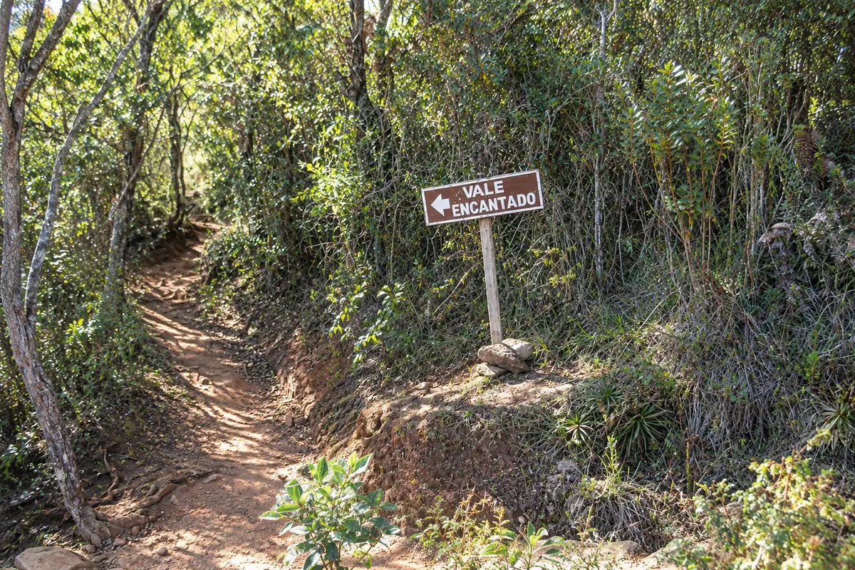
A national park of about 31,800 hectares on the border of Minas Gerais and Espírito Santo, created in 1961. On the Minas side you enter via Alto Caparaó, with hikes to Vale Verde, Cachoeira Bonita and Vale Encantado.
Illustrative images. The pictures in this guide are illustrations based on the real place, not photographs, and may differ from it.

Discover
About Caparaó National Park
Parque Nacional do Caparaó was created on May 24, 1961 and protects roughly 31,800 hectares of Serra do Caparaó, in municipalities of Minas Gerais such as Alto Caparaó, Alto Jequitibá, Caparaó and Espera Feliz, and in Espírito Santo, where most of the area lies. Management is by the Instituto Chico Mendes de Conservação da Biodiversidade (ICMBio). The range has Atlantic Forest on the slopes and high-altitude fields above, with Pico da Bandeira and other peaks over 2,000 meters.
The main gate and headquarters are in Alto Caparaó, with a visitor center, exhibits, restrooms and a snack bar. From there the internal road climbs about 6 km to Tronqueira, the highest point reached by vehicles. The other entrance is at Pedra Menina in Espírito Santo.
For those not going to the peak, the Minas side offers short outings. Vale Verde is less than 1 km from the gate and gathers clear, cold water pools among the rocks. Cachoeira Bonita is a high waterfall seen from a viewpoint on the internal road. Vale Encantado, a few minutes’ walk from Tronqueira, has small falls and pools.
Access is controlled: pets, bicycles and motorcycles are not allowed on the trails, nor is the collection of plants, stones or animals. Campsites require reservations, and the night ascent to the peak follows specific rules.
Before you go
Practical information
Cidade Turismo reviews its information regularly, but something may have changed. Check with the place before planning your trip.
How much time to set aside
Half a day for Vale Verde, Cachoeira Bonita and Vale Encantado; a full day or two for Pico da Bandeira.
Best time
May to September is best for trails and highland views, with very cold nights. In summer (November to March) waterfalls gain volume and afternoon storms are nearly daily.
How to get there
The park gate is at the exit of Alto Caparaó, high in the town, with signs from the center. From Espírito Santo, the entrance is at Pedra Menina in Dores do Rio Preto.
Tip
Check ICMBio’s page for opening days, hours and reservation rules. Bring warm clothing even in summer and do not leave trash on the trails.
Official website
Get your questions answered
Frequently asked questions about Caparaó National Park
What to do in Caparaó National Park besides Pico da Bandeira?
On the Minas side: Vale Verde, near the park entrance, Cachoeira Bonita (visible from the internal road), Vale Encantado and the Tronqueira lookout.
Can you bring a dog to Caparaó National Park?
No. Entry with domestic animals is prohibited throughout the park area.
How many park entrances/portarias does Caparaó National Park have?
Two: Alto Caparaó, in Minas Gerais, where the headquarters are located, and Pedra Menina, in Dores do Rio Preto, in Espírito Santo.