



Pico da Bandeira
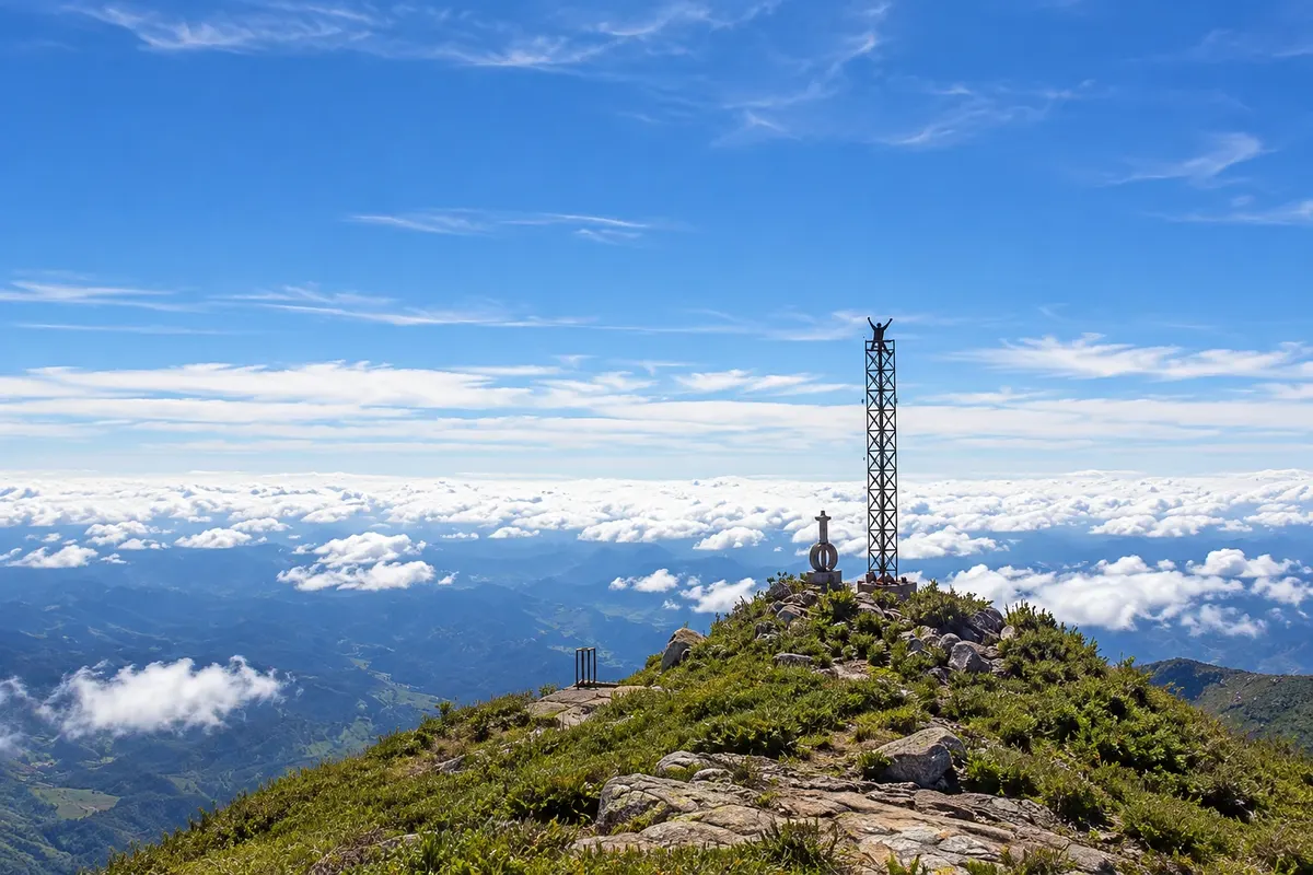
Third highest point in Brazil, at 2,892 meters, on the border between Minas Gerais and Espírito Santo. The trail on the Minas side departs from Tronqueira and is about 6.9 km to the summit, with an optional overnight at Terreirão.
Minas Gerais · Brazil
In the destination Caparaó (Alto Caparaó).
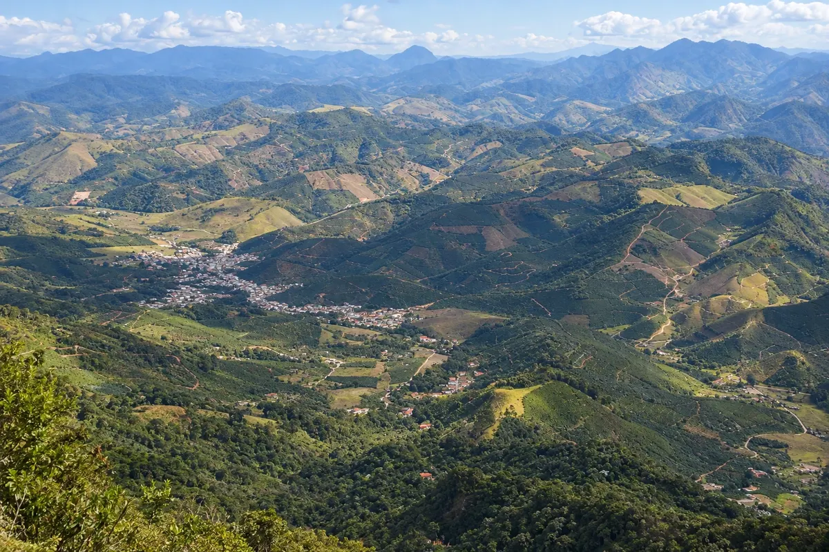
In the photo: Alto Caparaó and the coffee plantations seen from the range
Illustrative images. The pictures in this guide are illustrations based on the real place, not photographs, and may differ from it.
The city
Alto Caparaó is the Minas town at the foot of Serra do Caparaó where the main park gate and the headquarters of Parque Nacional do Caparaó are located. From here the park’s internal road leads to Pico da Bandeira, at 2,892 meters. Near the gate are the pools of Vale Verde and Cachoeira Bonita, and the town has pousadas, restaurants and specialty coffee shops selling coffee produced in the range.
There's no accommodation in the guide yet in Alto Caparaó.
There are no restaurants in the guide yet in Alto Caparaó.
Know a good one? Recommend it to ushow to get there · how many days · itinerary · questions
The local experience
Third highest point in Brazil, at 2,892 meters, on the border between Minas Gerais and Espírito Santo. The trail on the Minas side departs from Tronqueira and is about 6.9 km to the summit, with an optional overnight at Terreirão.
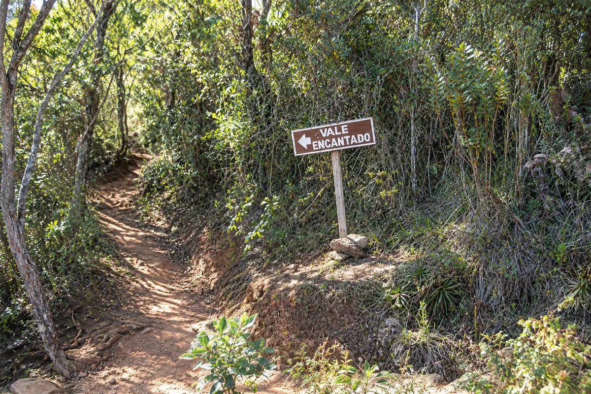
A national park of about 31,800 hectares on the border of Minas Gerais and Espírito Santo, created in 1961. On the Minas side you enter via Alto Caparaó, with hikes to Vale Verde, Cachoeira Bonita and Vale Encantado.
Discover Caparaó National Park