

 Argentina
 Bolivia
 Chile
 Colombia
 Ecuador
 Guyana
 French Guiana
 Falkland Islands (Malvinas)
 Paraguay
 Peru
 Suriname
 Uruguay
 Venezuela
 Germany
 Austria
 Belgium
 Croatia
 Denmark
 Spain
 Finland
 France
 Greece
 the Netherlands
 Hungary
 Ireland
 Iceland
 Italy
 Luxembourg
 Norway
 Poland
 Portugal
 the United Kingdom
 the Czech Republic
 Sweden
 Switzerland
 Turkey
 the United States
 Mexico
 the Dominican Republic
 South Africa
 Australia
 Fiji
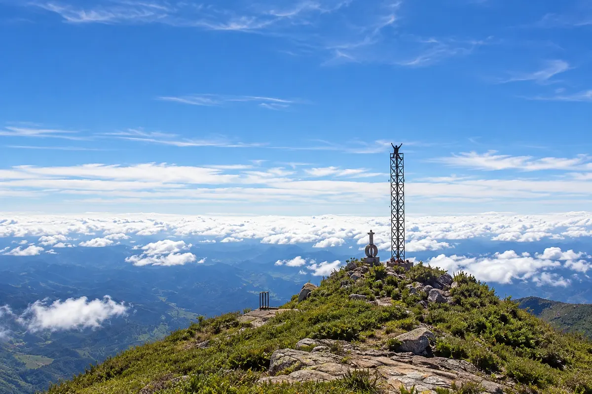
Mountain · Alto Caparaó, MG
Pico da Bandeira
Third highest point in Brazil, at 2,892 meters, on the border between Minas Gerais and Espírito Santo. The trail on the Minas side departs from Tronqueira and is about 6.9 km to the summit, with an optional overnight at Terreirão.
Illustrative images. The pictures in this guide are illustrations based on the real place, not photographs, and may differ from it.

Discover
About Pico da Bandeira
Pico da Bandeira is 2,892 meters high and is the third highest point in Brazil, after Pico da Neblina and Pico 31 de Março in the Amazon. It lies within Parque Nacional do Caparaó, on the border between Minas Gerais and Espírito Santo; the summit is on the Espírito Santo side, but the most used ascent departs from Alto Caparaó on the Minas side. For a long time it was considered the highest point in the country.
On the Minas side, visitors drive the park’s internal road up to Tronqueira, at about 1,970 meters, where there is parking and a camping area. From there the trail is roughly 6.9 km to the summit. The first 3.7 km lead to Terreirão, at about 2,370 meters, where there is a campsite with toilets and water; the final 3.2 km are steeper and rockier. The trail is signposted.
Many people start before dawn to reach the summit at sunrise, leaving from Terreirão. Those who go up and down the same day cover about 13.8 km and must enter the park early, at the time set for that ascent. On the highlands, the alpine fields, granite rocks and neighboring peaks, such as Cristal, shape the scenery.
The cold at the summit is intense, especially from June to August, when nights often fall below zero. The park requires a headlamp for those who walk in the dark and reservations for campsites.
Before you go
Practical information
Cidade Turismo reviews its information regularly, but something may have changed. Check with the place before planning your trip.
How much time to set aside
About 6 to 8 hours round trip from Tronqueira; two days if you overnight at Terreirão.
Best time
From May to September, when the sky is usually clearer and nights are very cold. From November to March clouds often cover the summit and rain makes the trail slippery.
How to get there
Enter through the Parque Nacional do Caparaó gate in Alto Caparaó and drive about 6 km along the park’s internal road to Tronqueira, where the trail begins. From Espírito Santo, the ascent starts at the Pedra Menina gate in Dores do Rio Preto.
Tip
Bring a headlamp per person, warm clothing, a beanie, gloves, rain gear, water and snacks. Wear hiking boots. Reserve the campsite in advance and check the weather forecast; do not climb in a storm.
Official website
Get your questions answered
Frequently asked questions about Pico da Bandeira
How many kilometers is the Pico da Bandeira trail on the Minas side?
About 6.9 km from the Tronqueira to the summit: 3.7 km to Terreirão and another 3.2 km to the top. Round trip, about 13.8 km.
How long does it take to climb Pico da Bandeira?
From the Tronqueira to the summit, generally 3 to 4 hours to ascend, depending on fitness and load. The full route, round trip, takes 6 to 8 hours.
Is Pico da Bandeira in Minas Gerais or Espírito Santo?
On the border between the two states; the summit is on the Espírito Santo side. The most commonly used ascent, however, starts from Alto Caparaó in Minas Gerais.
Can you camp on Pico da Bandeira?
At the summit, no. On the Minas side, campsites are at Tronqueira and Terreirão, with advance reservation at the park.