

 Brazil
 Argentina
 Bolivia
 Chile
 Colombia
 Ecuador
 Guyana
 French Guiana
 Falkland Islands (Malvinas)
 Paraguay
 Peru
 Suriname
 Uruguay
 Venezuela
 Germany
 Austria
 Belgium
 Croatia
 Denmark
 Spain
 Finland
 France
 Greece
 the Netherlands
 Hungary
 Ireland
 Iceland
 Italy
 Luxembourg
 Norway
 Poland
 Portugal
 the United Kingdom
 the Czech Republic
 Sweden
 Switzerland
 Turkey
 Canada
 the United States
 Mexico
 the Dominican Republic
 South Africa
 Fiji
 New Zealand
 Papua New Guinea
National park · Yulara, Northern Territory
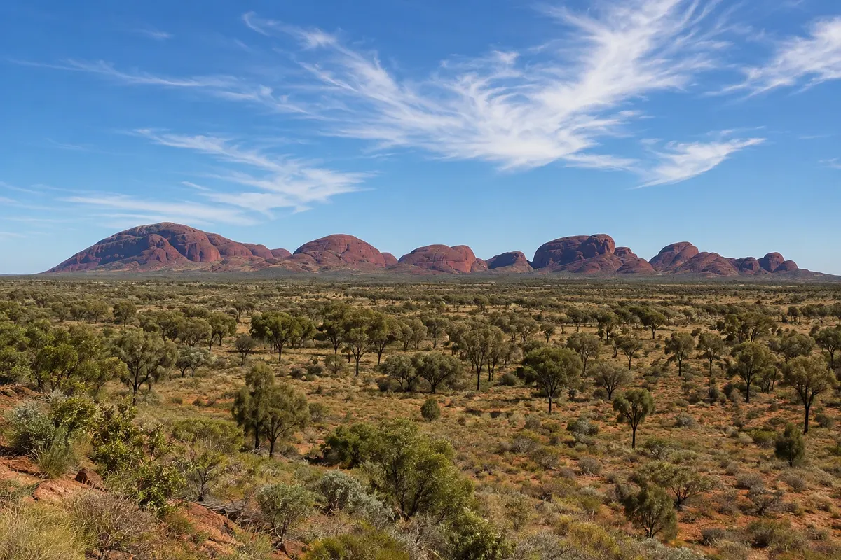
Kata Tjuta
A group of 36 rock domes about 25 km from Uluru, with Mount Olga rising 546 meters above the plain; a sacred place for the Anangu, featuring the Valley of the Winds and Walpa Gorge trails.
Illustrative images. The pictures in this guide are illustrations based on the real place, not photographs, and may differ from it.

Discover
About Kata Tjuta
Kata Tjuta, which in the Pitjantjatjara language means “many heads,” is a group of 36 reddish rock domes about 25 km west of Uluru, within the same national park. The highest, Mount Olga, reaches 1,066 meters above sea level, about 546 meters above the plain, taller than Uluru.
Kata Tjuta is a sacred men’s place for the Anangu, connected to the Tjukurpa. For this reason many stories of the place are not told to visitors, and you are asked to remain on marked trails.
Two trails lead into the formation. The Valley of the Winds traverses valleys between the domes to viewpoints; it is the longer and more demanding walk. The Walpa Gorge is shorter and follows between two high walls to a vegetated area. Both routes have sections of loose rock.
The Kata Tjuta dune viewing area on the access road is a spot used to view the formation at sunrise.
Before you go
Practical information
Cidade Turismo reviews its information regularly, but something may have changed. Check with the place before planning your trip.
How much time to set aside
From 1 to 4 hours, depending on the trail.
Best time
Very early, to walk with less heat. On very hot days part of the Valley of the Winds closes from late morning; check park notices.
How to get there
From Yulara, about 50 km on sealed road, around a 40-minute drive, or by organized tour. The national park pass is required.
Tip
Bring plenty of water and a hat: there is little shade on the trails. Start the Valley of the Winds early to reach the viewpoints before the heat.
Official website
Get your questions answered
Frequently asked questions about Kata Tjuta
How far is Kata Tjuta from Uluru?
About 25 km in a straight line and roughly 50 km by road from Yulara.
Which trail to do in Kata Tjuta?
The Valley of the Winds is the longest and leads to lookouts among the domes. The Walpa Gorge walk is shorter and easier, between two cliffs.
What does Kata Tjuta mean?
In the Pitjantjatjara language, Kata Tjuta means “many heads,” because of the rock domes.