Margaret River

Western Australia · Australia

Margaret River

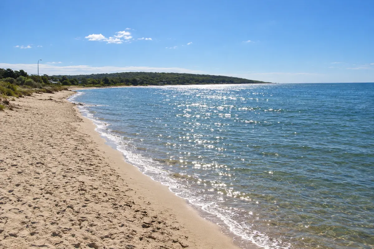
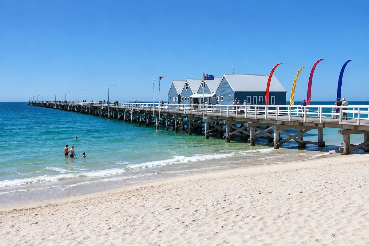
The wine region, surf beaches and caves of southwest Western Australia between Cape Naturaliste and Cape Leeuwin, featuring the long Busselton Jetty and the clear beaches of Dunsborough.

Western Australia (Perth)

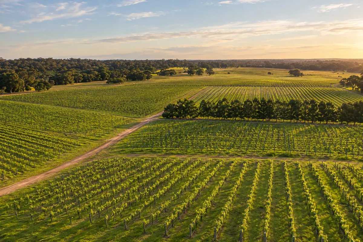
In the photo: Margaret River vineyards

Illustrative images. The pictures in this guide are illustrations based on the real place, not photographs, and may differ from it.

Get it on Google Play Send your photos

Get to know the place

A region to enjoy
at your own pace.

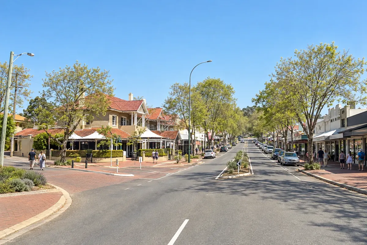
Margaret River gives its name to the town and the region in southwest Western Australia, about 270 km south of Perth, between Cape Naturaliste to the north and Cape Leeuwin to the south. It is a narrow strip of land between the Indian Ocean and the forest, known for its wines, surf beaches and limestone caves.

The region has produced wine since the 1960s and includes more than a hundred wineries, many with restaurants and tastings, as well as breweries, cheesemakers and chocolate farms. The west coast receives strong swell from the Indian Ocean, and surf competitions take place at Surfers Point, near the town.

Beneath the Leeuwin-Naturaliste ridge there are hundreds of caves, some open to visitors, such as Lake Cave and Jewel Cave. On both capes, lighthouses from the late 19th and early 20th centuries mark the region’s ends, and the Cape to Cape track links the two along the coast.

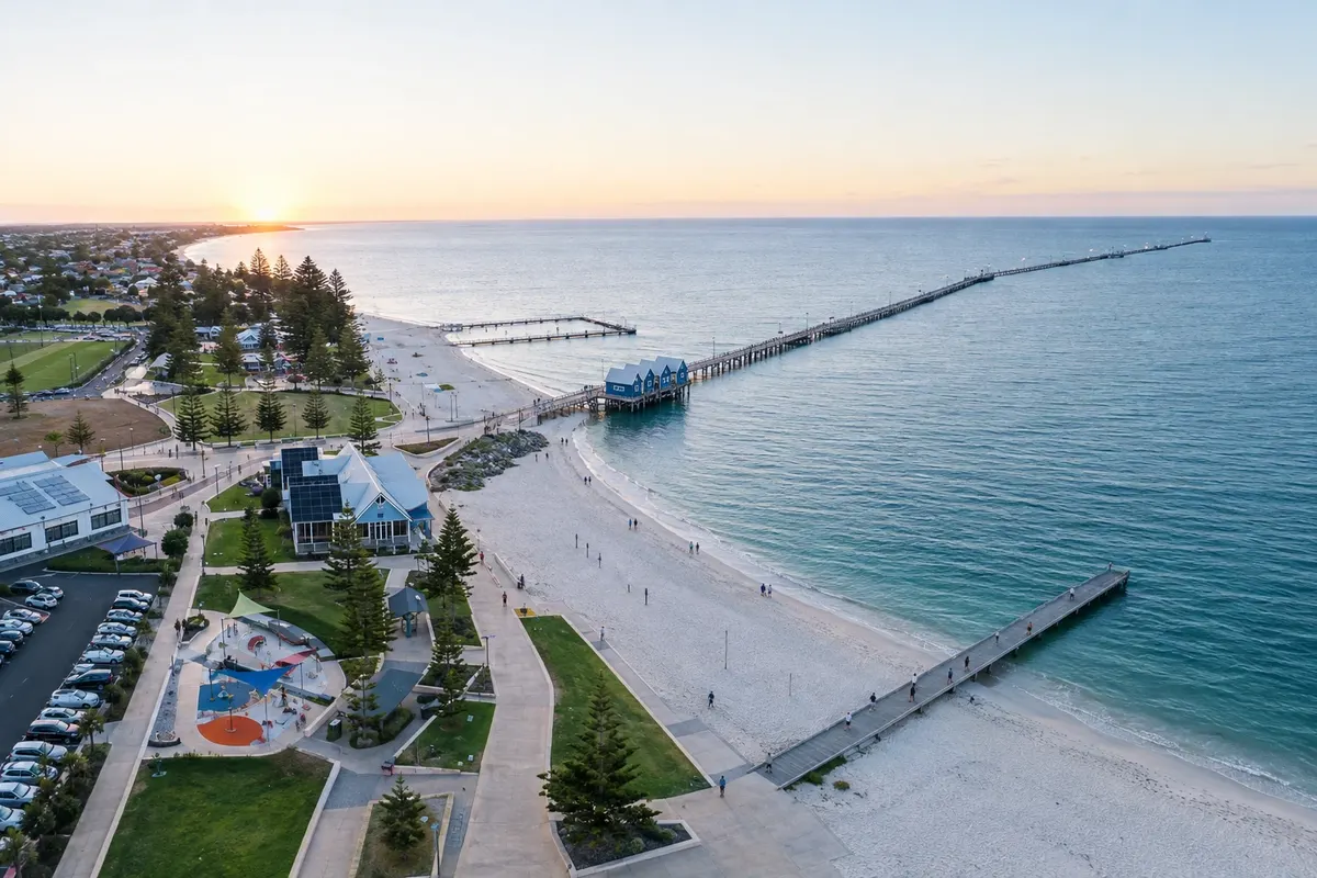
To the north, Geographe Bay has calm water: Busselton is home to one of the longest wooden jetties in the world, and Dunsborough has white sand beaches. From September to December, whales commonly pass through the bay.

This destination brings together 3 cities: Margaret River, Busselton, Dunsborough.

Share: WhatsApp
Traveler, share your experiences through photos Up to 5 photos of each place you visited.

One destination, many paths

The cities on this trip

Start with one city or combine several in your itinerary.

Where Margaret River is
BusseltonMargaret RiverDunsborough

Boundaries: Australian Bureau of Statistics / geoBoundaries (CC BY 4.0). Adapted by Cidade Turismo.

How to get there: Margaret River

✈ Busselton Margaret River Airport (BQB), in Busselton · 50 km to Margaret River

✈ Perth Airport (PER), in Redcliffe · 280 km to Margaret River

From Perth, about 270 km via the Forrest Highway and the Bussell Highway, roughly a 3-hour drive. Busselton Airport has flights from some eastern state capitals. Regional buses connect Perth with towns in the region.

Suggested arrival point: Margaret River

The local experience

Things to do in Margaret River

Busselton Jetty
Busselton · Western Australia · Pier

Busselton Jetty

Wooden pier of about 1.8 km over Geographe Bay, built from 1864, with a train and an underwater observatory at the tip.

Cape Naturaliste Lighthouse
Dunsborough · Western Australia · Lighthouse

Cape Naturaliste Lighthouse

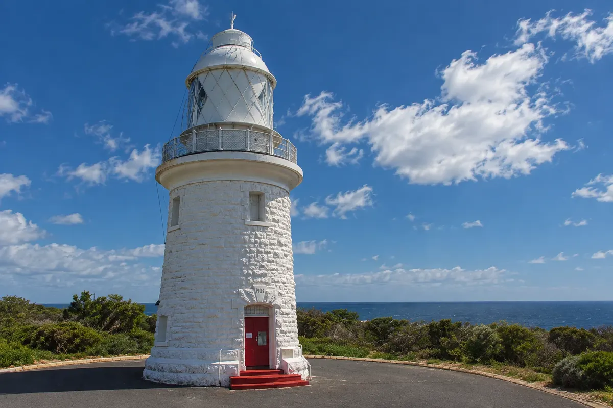
A 1904 lighthouse on the northern tip of the Margaret River region, above Geographe Bay, with guided tours, trails and whale-viewing lookouts.

Surfers Point
Margaret River · Western Australia · Beach

Surfers Point

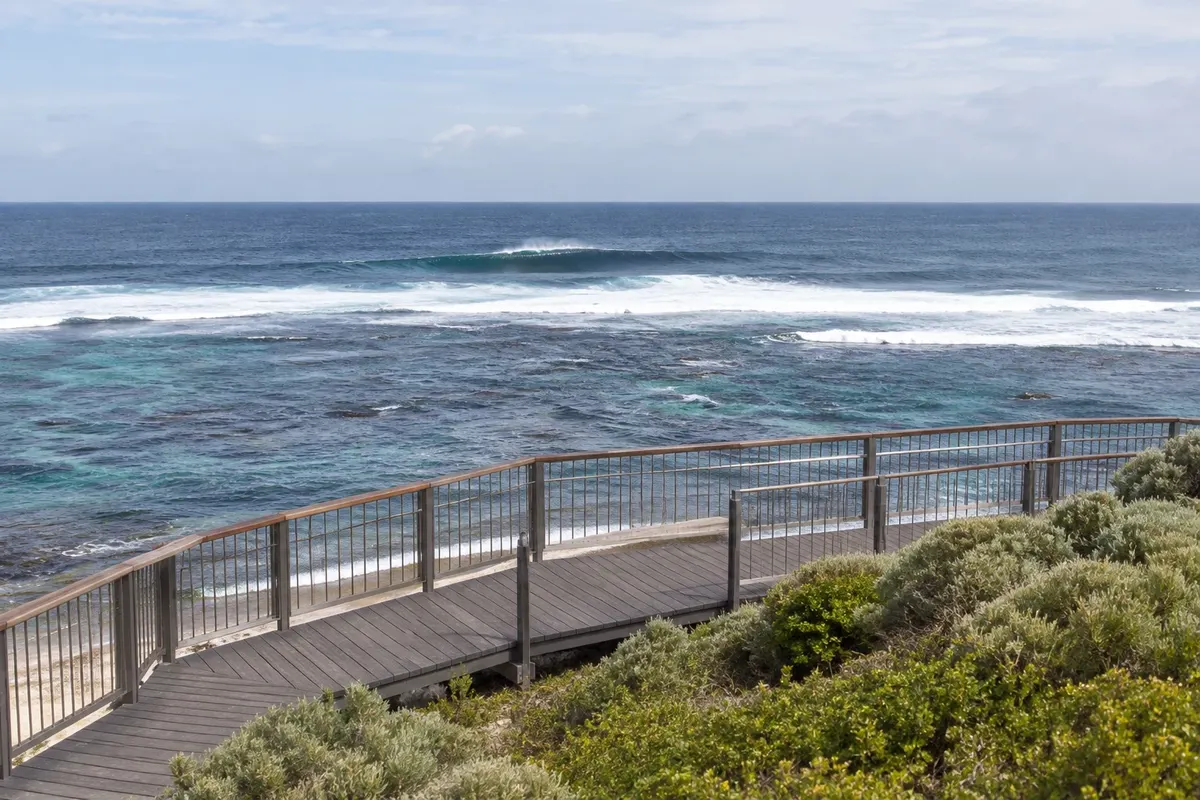
A rocky point at Prevelly, at the mouth of the Margaret River, with strong Indian Ocean waves and a venue for professional surf competitions.

Ngilgi Cave
Dunsborough · Western Australia · Cave

Ngilgi Cave

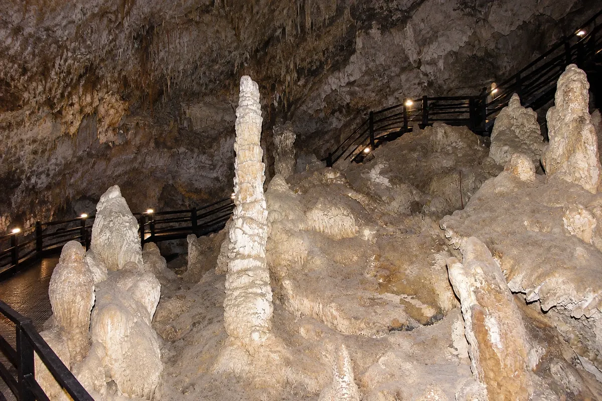
Limestone cave near Yallingup, about 10 km from Dunsborough, with stalactites and colorful formations, visited independently or with a guide.

See 4 more places in Margaret River
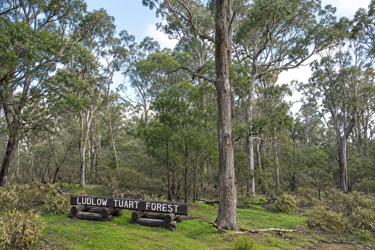
Ludlow Tuart Forest
Busselton · Western Australia · National park

Ludlow Tuart Forest

Tuart forest — eucalypts that grow only in southwest Western Australia, east of Busselton, in Tuart Forest National Park.

Lake Cave
Margaret River · Western Australia · Cave

Lake Cave

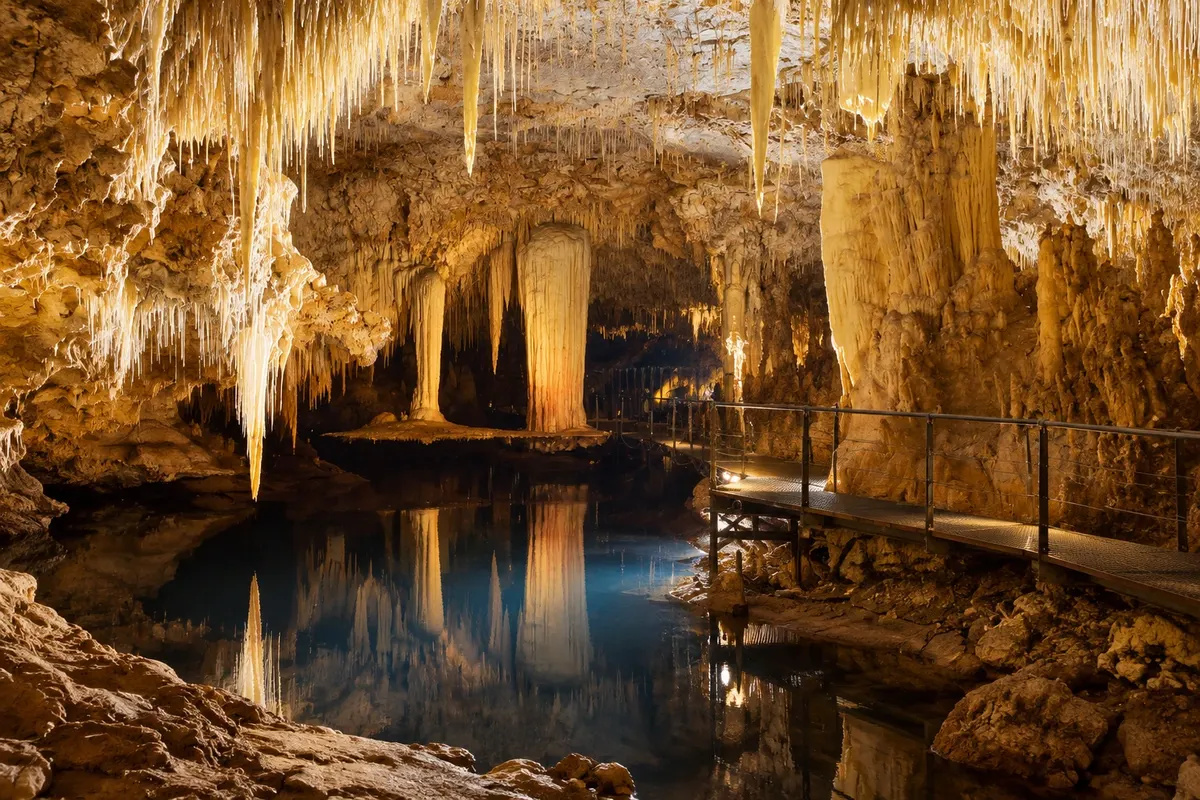
A limestone cave south of Margaret River with an underground lake that reflects a suspended column; visits are guided.

Cape Leeuwin Lighthouse
Margaret River · Western Australia · Lighthouse

Cape Leeuwin Lighthouse

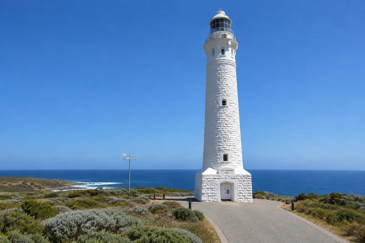
A 1896 lighthouse at Australia’s southwest extreme, where the Indian Ocean meets the Southern Ocean; the tallest lighthouse on the continent.

Meelup (Meelup Beach / Meelup Regional Park)
Dunsborough · Western Australia · Beach

Meelup (Meelup Beach / Meelup Regional Park)

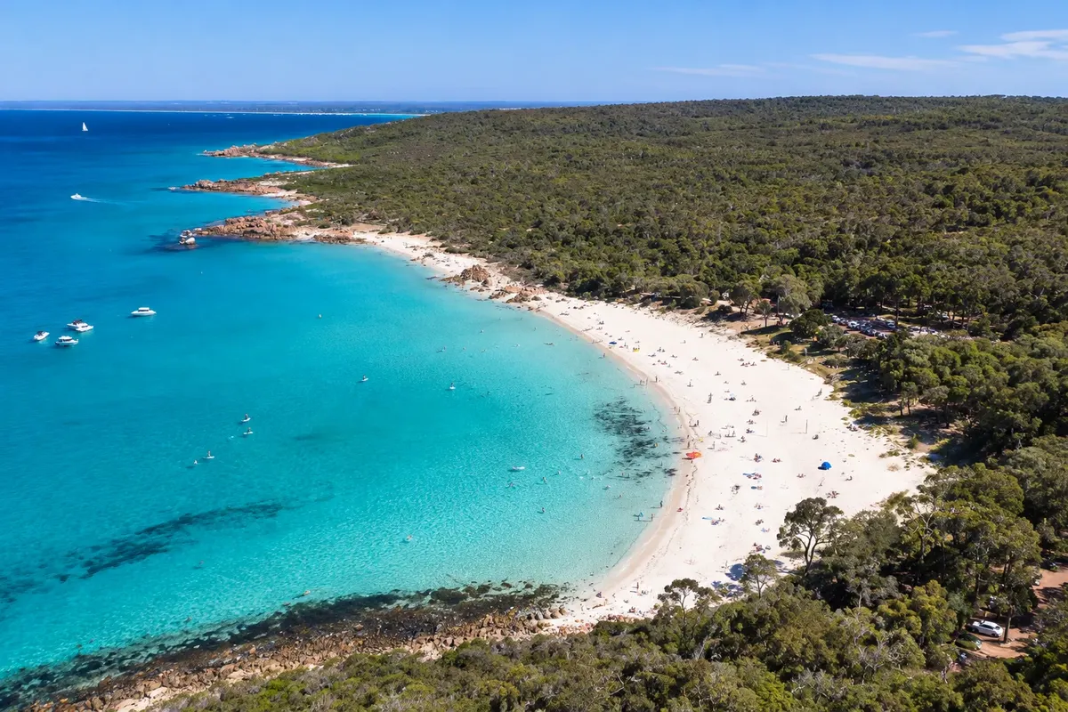
Calm-water, light-sand beach in Geographe Bay, about 4 km from Dunsborough, surrounded by granite rocks and native vegetation.

Before you go

Practical information

A little planning leaves more time to enjoy the journey.

When to go

Spring, from September to November, brings wildflowers and whales in Geographe Bay. Summer is hot and dry, beach season. Autumn is harvest time. Winter is cool and rainy, with bigger surf.

The seasons shown are the most usual ones; nature doesn't always follow the calendar.

How many days to stay

Three or four days: one for the wineries, one for the caves and Cape Leeuwin, one for Busselton and Dunsborough.

Which city to stay in

Margaret River has guesthouses, hotels and cottages in town and among the vineyards. Dunsborough and Busselton, on Geographe Bay, concentrate hotels and holiday homes near the beach. There are also houses and cottages scattered across the region, near the surf beaches.

Respect the place

Take your trash with you, follow the signs and support local businesses. In natural areas, follow the visiting guidelines.

Get your questions answered

Frequently asked questions about Margaret River

How many days to stay in Margaret River?

Three to four days for the wineries, the caves, the lighthouses and Geographe Bay.

How to get to Margaret River?

By car from Perth, about 270 km, or by plane to Busselton, about 50 km away.

Do you need a car in Margaret River?

Yes, or an organized tour: the wineries, beaches and caves are spread out. In Australia you drive on the left.

When to see whales in Margaret River?

Generally from September to December, in Geographe Bay and along the capes’ coast.

What time zone is Margaret River in?

Western Australia time, UTC+8, with no daylight saving time.

Explore other destinations Search by state and city