

 Brazil
 Argentina
 Bolivia
 Chile
 Colombia
 Ecuador
 Guyana
 French Guiana
 Falkland Islands (Malvinas)
 Paraguay
 Peru
 Suriname
 Uruguay
 Venezuela
 Germany
 Austria
 Belgium
 Croatia
 Denmark
 Spain
 Finland
 France
 Greece
 the Netherlands
 Hungary
 Ireland
 Iceland
 Italy
 Luxembourg
 Norway
 Poland
 Portugal
 the United Kingdom
 the Czech Republic
 Sweden
 Switzerland
 Turkey
 Canada
 the United States
 Mexico
 the Dominican Republic
 South Africa
 Fiji
 New Zealand
 Papua New Guinea
Viewpoint · Penneshaw, South Australia
Prospect Hill
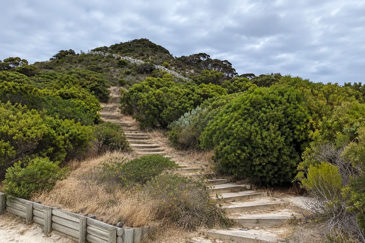
High dune on the narrow isthmus of eastern Kangaroo Island, with a staircase to the top and views over both sides of the island, linked to Matthew Flinders’ passage in 1802.
Illustrative images. The pictures in this guide are illustrations based on the real place, not photographs, and may differ from it.

Discover
About Prospect Hill
Prospect Hill is a high dune covered in vegetation on the narrow isthmus that links the Dudley Peninsula to the rest of Kangaroo Island, about 20 km from Penneshaw. In 1802 the navigator Matthew Flinders climbed it to observe the island during his coastal survey of Australia.
A wooden staircase, of a few hundred steps, leads to the top. From there you can see both sides of the isthmus: Pelican Lagoon and Nepean Bay to the north and the open sea of Pennington Bay to the south.
At the top, signs tell of Flinders’ visit and the island’s history. The climb is short but steep.
Nearby is Pennington Bay, a beach with surf on the southern coast, and the village of American River, known for its oysters.
Before you go
Practical information
Cidade Turismo reviews its information regularly, but something may have changed. Check with the place before planning your trip.
How much time to set aside
From 30 minutes to 1 hour.
Best time
Late afternoon, with low light over the bays on both sides of the isthmus.
How to get there
By car, about 20 km from Penneshaw via Hog Bay Road, with parking at the base of the staircase.
Tip
Combine with Pennington Bay and a stop at American River on the way to Kingscote.
Official website
Get your questions answered
Frequently asked questions about Prospect Hill
What can you see from Prospect Hill?
Both sides of the isthmus: the bays to the north and the open sea of Pennington Bay to the south.
Is the climb up Prospect Hill long?
It’s short but steep, via a staircase of a few hundred steps.
What is Prospect Hill’s connection to Matthew Flinders?
The navigator climbed it in 1802 to observe the island.