
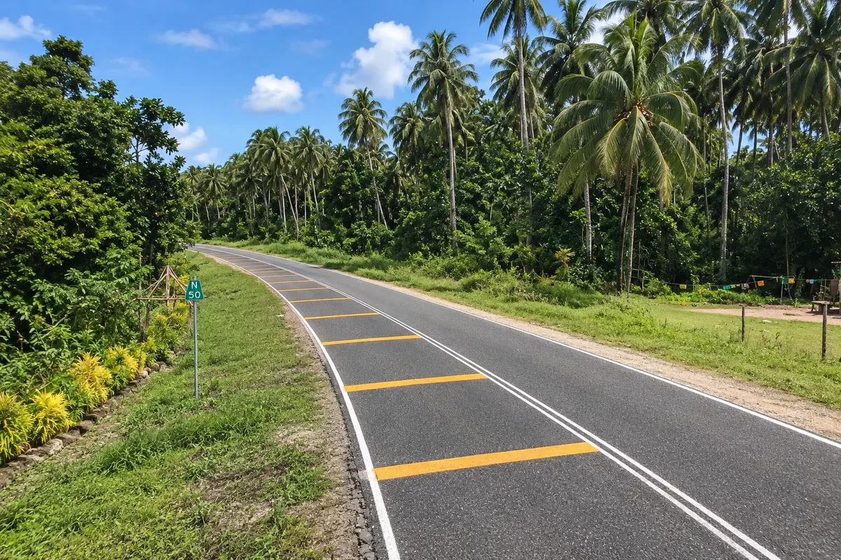
Scenic road
Boluminski Highway
A paved road of about 293 km along New Ireland’s east coast, from Kavieng to Namatanai, passing beaches, villages and coconut plantations, popular for cycling trips.

 Search
 Brazil
 Argentina
 Bolivia
 Chile
 Colombia
 Ecuador
 Guyana
 French Guiana
 Falkland Islands (Malvinas)
 Paraguay
 Peru
 Suriname
 Uruguay
 Venezuela
 Germany
 Austria
 Belgium
 Croatia
 Denmark
 Spain
 Finland
 France
 Greece
 the Netherlands
 Hungary
 Ireland
 Iceland
 Italy
 Luxembourg
 Norway
 Poland
 Portugal
 the United Kingdom
 the Czech Republic
 Sweden
 Switzerland
 Turkey
 the United States
 Mexico
 the Dominican RepublicTurkey
 South Africa
 Australia
 Fiji
 New ZealandPapua New Guinea
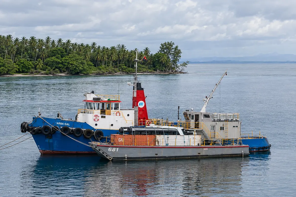
Nova Irlanda · Papua New Guinea Capital
In the destination Kavieng and New Ireland.
In the photo: Kavieng Harbor
Illustrative images. The pictures in this guide are illustrations based on the real place, not photographs, and may differ from it.
The city
Kavieng is the capital and largest town of New Ireland, at the island’s northern tip on Balgai Bay. It survives on diving, surfing and fishing, with islets and reefs a few minutes by boat. On Harbour Road a Japanese cannon atop a bunker recalls the Second World War occupation. From there the Boluminski Highway departs, following the east coast to Namatanai and passing the Laraibina eel sanctuary.
There's no accommodation in the guide yet in Kavieng.
There are no restaurants in the guide yet in Kavieng.
Know a good one? Recommend it to ushow to get there · how many days · itinerary · questions
The local experience
A paved road of about 293 km along New Ireland’s east coast, from Kavieng to Namatanai, passing beaches, villages and coconut plantations, popular for cycling trips.
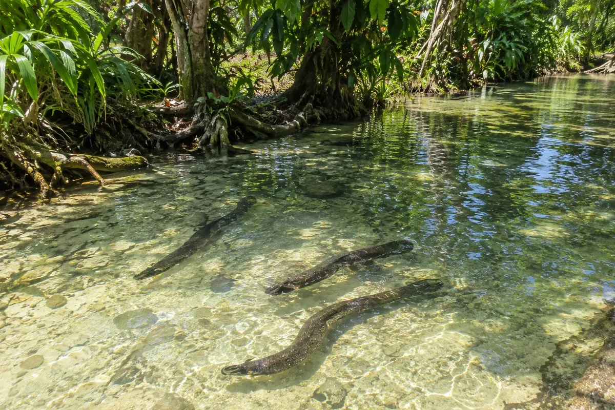
Stream at the village of Laraibina on the east coast of New Ireland, where large freshwater eels, considered sacred by the community, come to be fed.
Large World War II gun mounted atop a bunker on Harbour Road in Kavieng, one of the remains of the Japanese occupation of New Ireland between 1942 and 1945.