Brazil
 Argentina
 Bolivia
 Chile
 Colombia
 Ecuador
 Guyana
 French Guiana
 Falkland Islands (Malvinas)
 Paraguay
 Peru
 Suriname
 Uruguay
 Venezuela
 Germany
 Austria
 Belgium
 Croatia
 Denmark
 Spain
 Finland
 France
 Greece
 the Netherlands
 Hungary
 Ireland
 Iceland
 Italy
 Luxembourg
 Norway
 Poland
 Portugal
 the United Kingdom
 the Czech Republic
 Sweden
 Switzerland
 Turkey
 the United States
 Mexico
 the Dominican Republic
 South Africa
 Australia
 Fiji
 New Zealand

Nova Irlanda · Kavieng and New Ireland
Capital
Kavieng
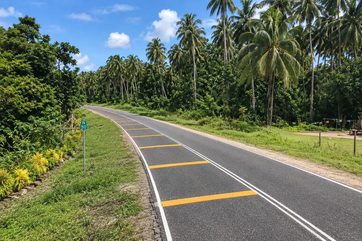
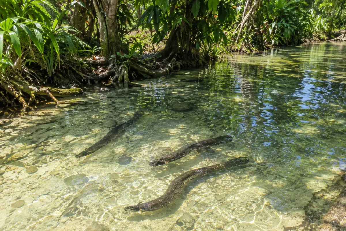
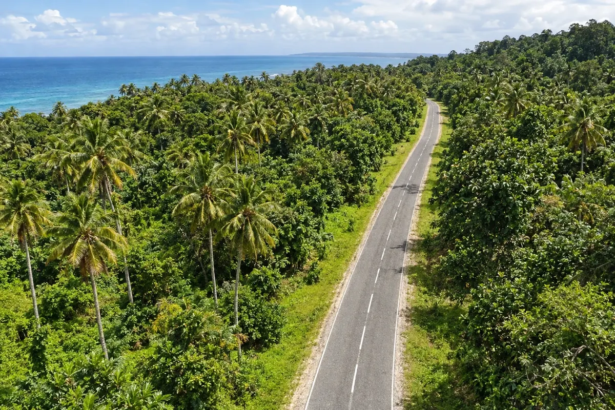
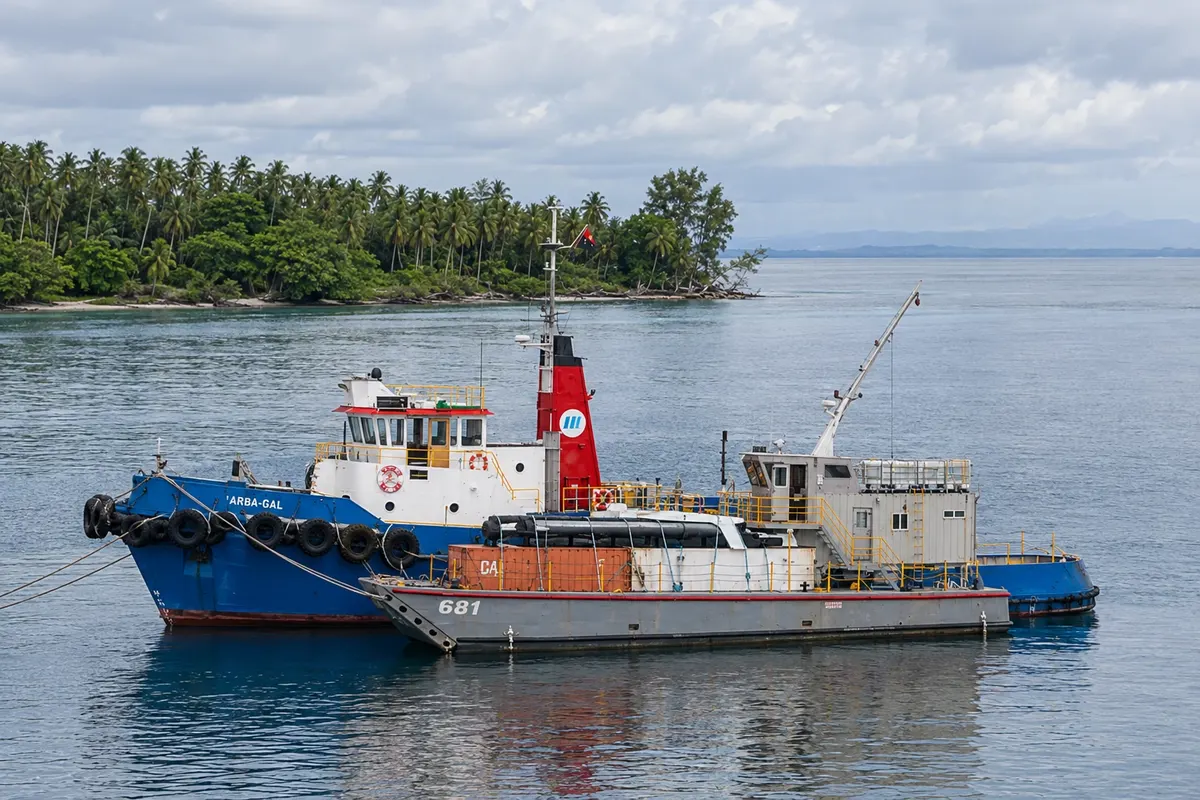
Kavieng is the capital and largest town of New Ireland, at the island’s northern tip on Balgai Bay. It survives on diving, surfing and fishing, with islets and reefs a few minutes by boat. On Harbour Road a Japanese cannon atop a bunker recalls the Second World War occupation. From there the Boluminski Highway departs, following the east coast to Namatanai and passing the Laraibina eel sanctuary.