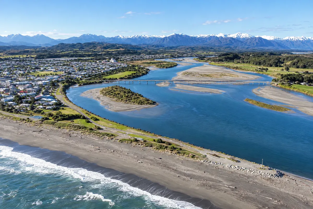
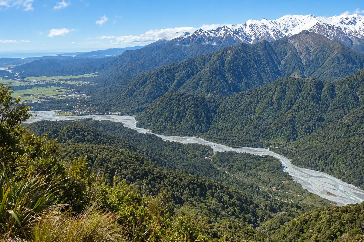
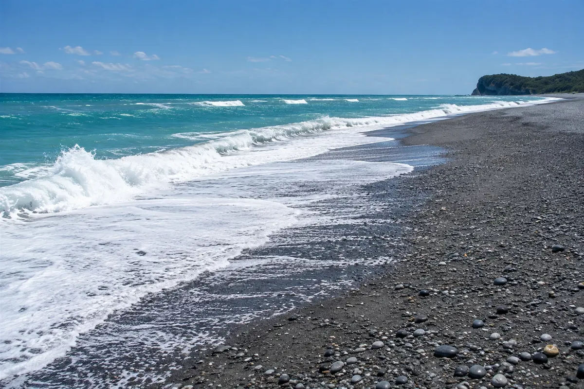
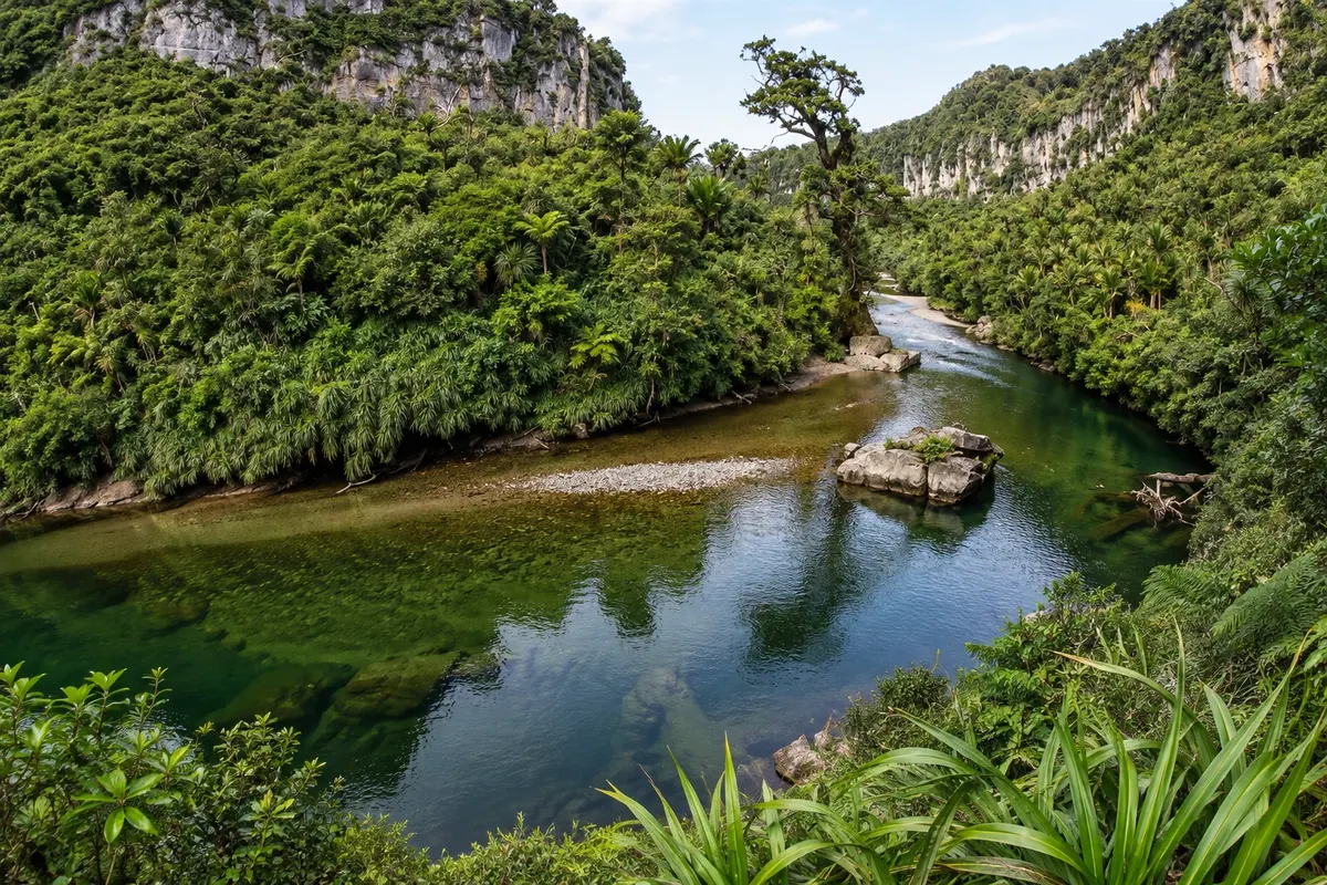
The West Coast (Te Tai o Poutini) is the narrow strip between the Southern Alps and the Tasman Sea, running along almost the entire west coast of the South Island. It’s sparsely populated, very wet, and covered in temperate rainforest that reaches from mountain to shore, with green-blue rivers, stony beaches and driftwood brought in by the sea. A single road, State Highway 6, runs the region from north to south.
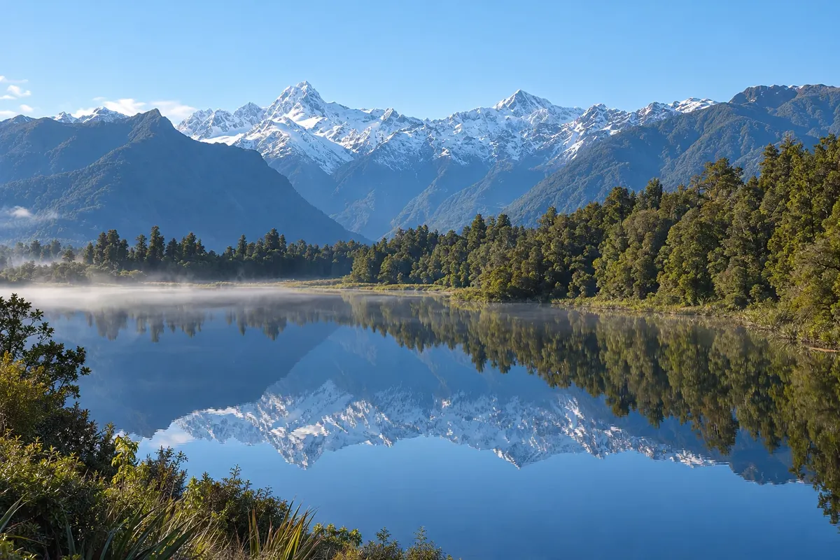
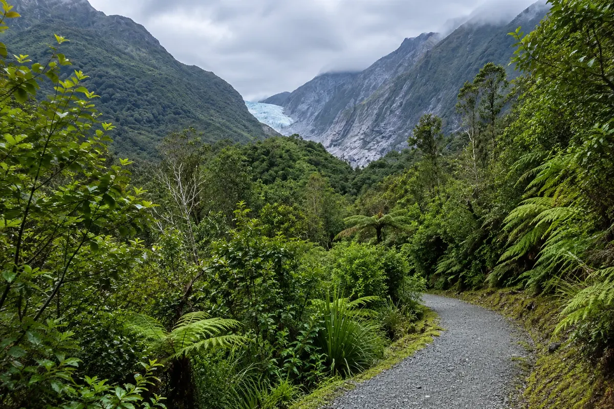
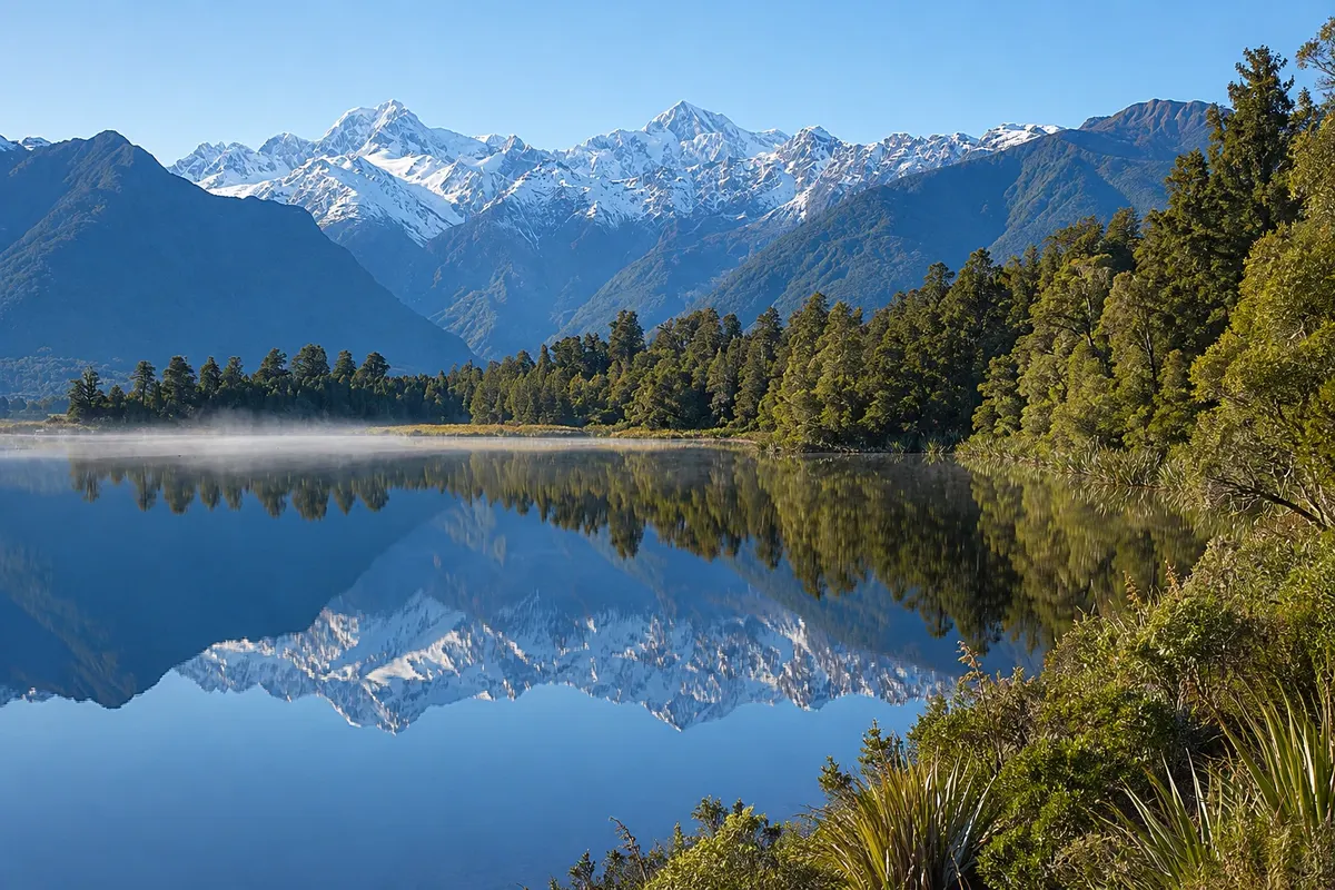
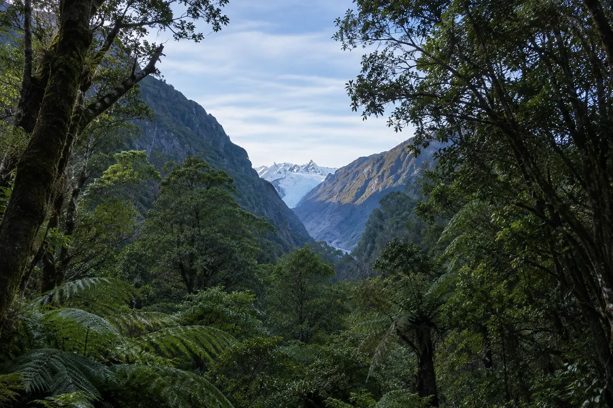
The best-known stretch is the glaciers. Franz Josef (Kā Roimata o Hine Hukatere) and Fox (Te Moeka o Tuawe) descend from the Alps to only a few hundred meters elevation, in the middle of the forest, about 23 km apart. Both have retreated considerably in recent decades and the ice fronts are unstable; approach is by trails to viewpoints and, to step on the ice, by helicopter flights combined with a guided walk. Near Fox, Lake Matheson reflects Aoraki/Mount Cook and Mount Tasman on windless mornings. The area is part of Te Wāhipounamu, a UNESCO World Heritage site.
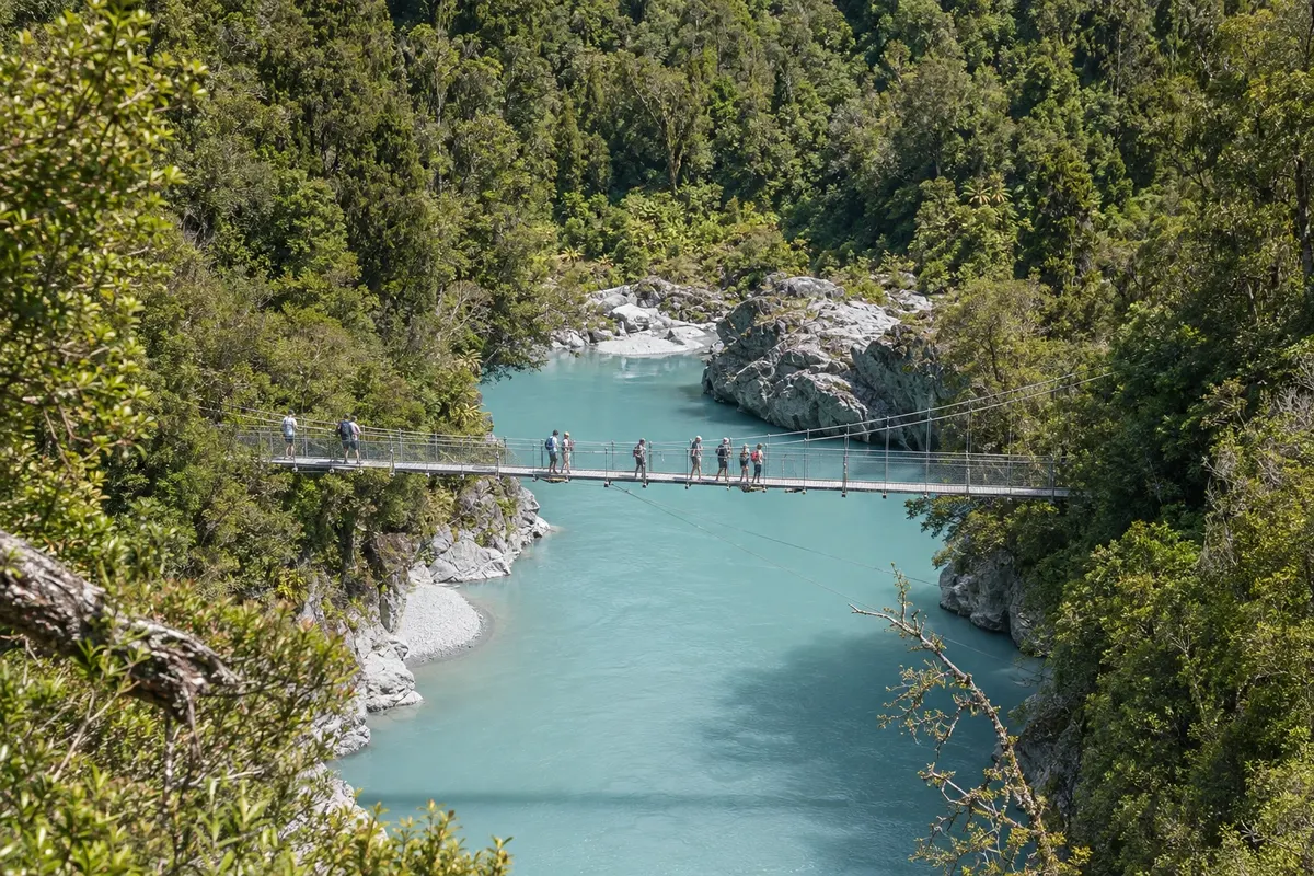
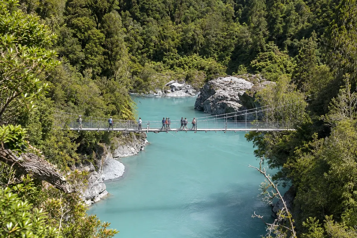
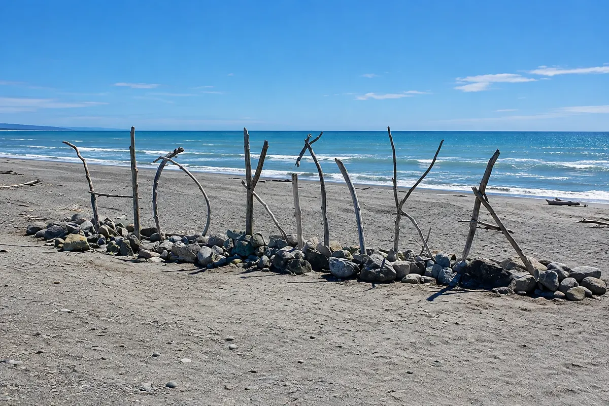
Further north, Hokitika grew from the 1864 gold rush and is now known for pounamu artisans, the New Zealand greenstone, and for the beach that hosts a driftwood sculpture festival in January. About 33 km away, the Hokitika Gorge has milky-blue water beneath suspension bridges.
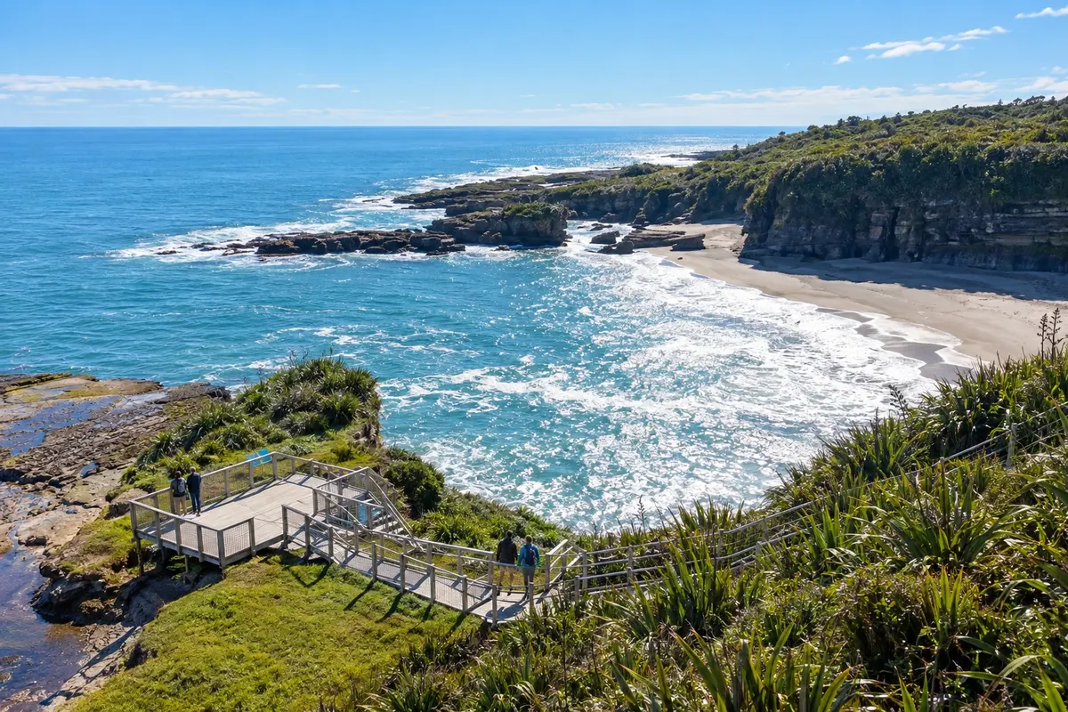
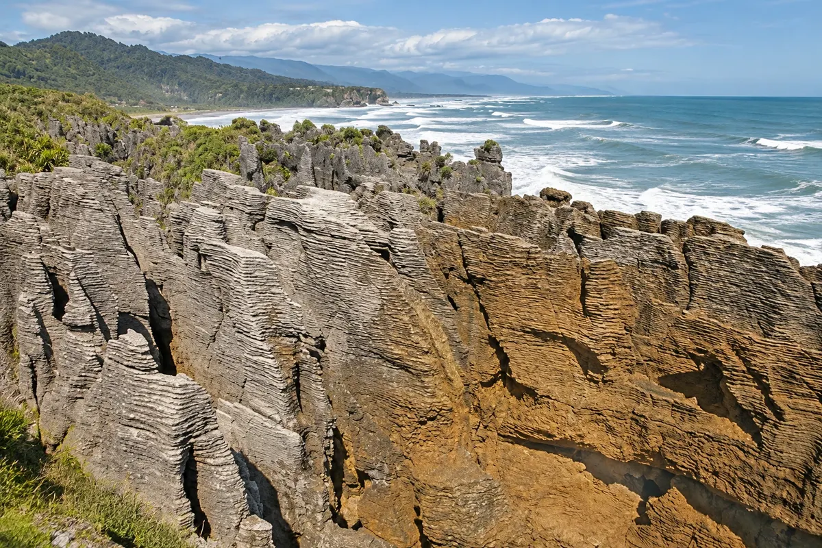
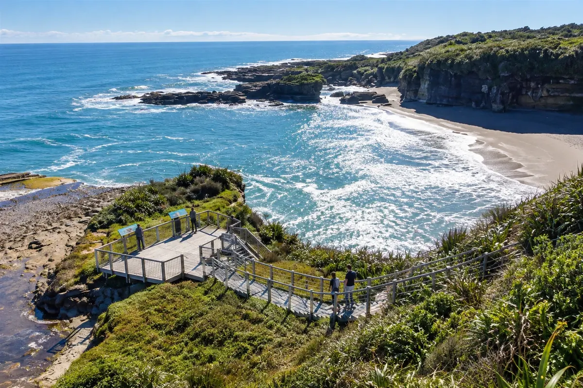
In the north, at Punakaiki, the Pancake Rocks are layered limestone formations, like stacks of pancakes, with blowholes that spout seawater at high tide. They lie within Paparoa National Park, which has trails through forest and along rivers.
This destination brings together 4 cities: Hokitika, Franz Josef / Waiau, Fox Glacier, Punakaiki.


 Brazil
 Argentina
 Bolivia
 Chile
 Colombia
 Ecuador
 Guyana
 French Guiana
 Falkland Islands (Malvinas)
 Paraguay
 Peru
 Suriname
 Uruguay
 Venezuela
 Germany
 Austria
 Belgium
 Croatia
 Denmark
 Spain
 Finland
 France
 Greece
 the Netherlands
 Hungary
 Ireland
 Iceland
 Italy
 Luxembourg
 Norway
 Poland
 Portugal
 the United Kingdom
 the Czech Republic
 Sweden
 Switzerland
 Turkey
 the United States
 Mexico
 the Dominican Republic
 South Africa
 Australia
 Fiji