
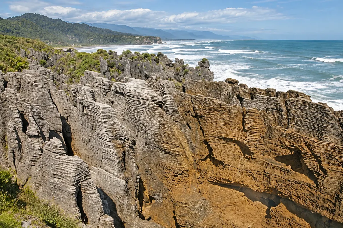
Rock formation
Pancake Rocks and Blowholes
Layered limestone formations, like stacks of pancakes, at Dolomite Point within Paparoa National Park. At high tide with strong swell, the sea sprays through holes in the rock.

 Search
 Brazil
 Argentina
 Bolivia
 Chile
 Colombia
 Ecuador
 Guyana
 French Guiana
 Falkland Islands (Malvinas)
 Paraguay
 Peru
 Suriname
 Uruguay
 Venezuela
 Germany
 Austria
 Belgium
 Croatia
 Denmark
 Spain
 Finland
 France
 Greece
 the Netherlands
 Hungary
 Ireland
 Iceland
 Italy
 Luxembourg
 Norway
 Poland
 Portugal
 the United Kingdom
 the Czech Republic
 Sweden
 Switzerland
 Turkey
 the United States
 Mexico
 the Dominican RepublicTurkey
 South Africa
 Australia
 FijiNew Zealand
West Coast · New Zealand
In the destination West Coast and the Glaciers.
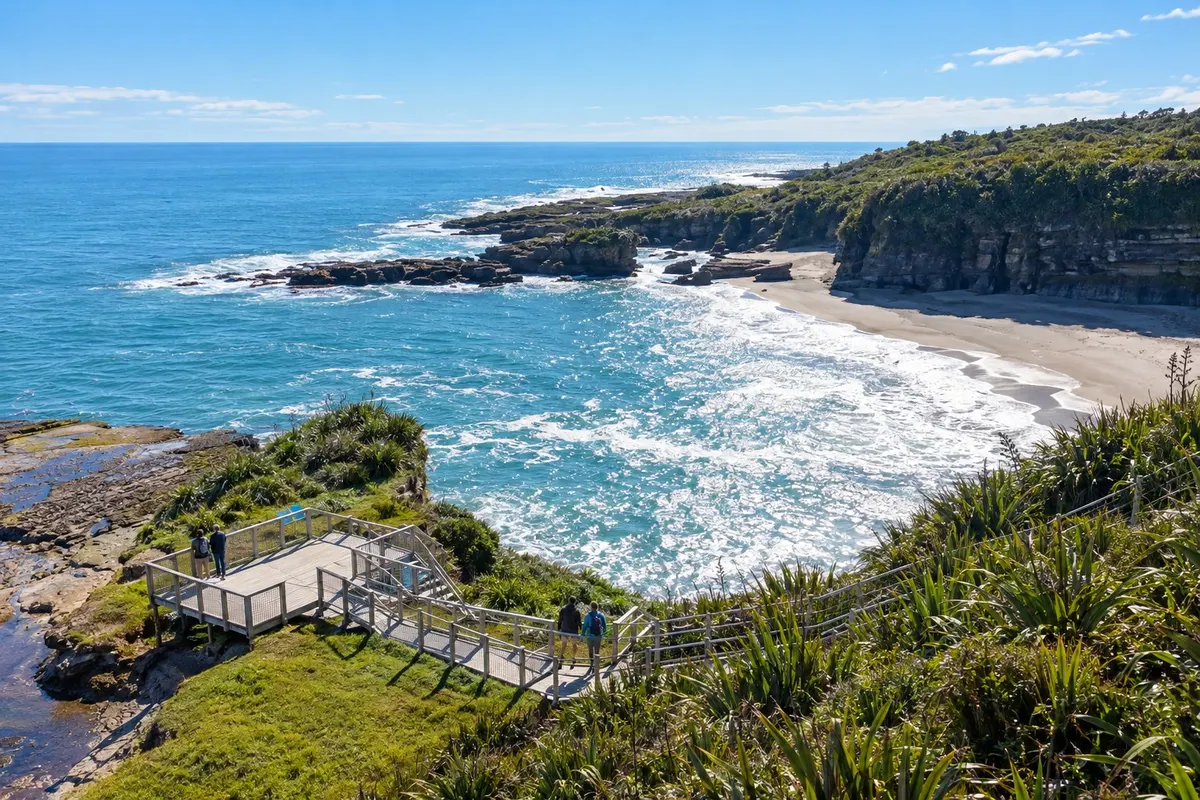
In the photo: Punakaiki coastline beside the Truman Track
Illustrative images. The pictures in this guide are illustrations based on the real place, not photographs, and may differ from it.
The city
Punakaiki is a village of under one hundred residents on Highway 6, between Greymouth and Westport, on the edge of Paparoa National Park. It is known for the Pancake Rocks, layered limestone formations with holes where the sea sprays through, and has short forest walks such as the Truman Track and the Pororari River track.
There's no accommodation in the guide yet in Punakaiki.
There are no restaurants in the guide yet in Punakaiki.
Know a good one? Recommend it to ushow to get there · how many days · itinerary · questions
The local experience
Layered limestone formations, like stacks of pancakes, at Dolomite Point within Paparoa National Park. At high tide with strong swell, the sea sprays through holes in the rock.
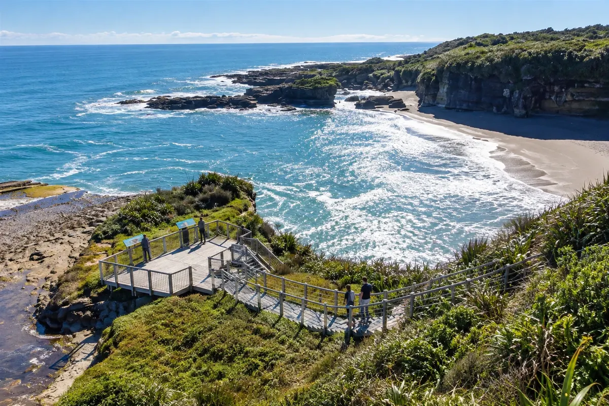
A short walk through coastal forest north of Punakaiki to a stony beach ringed by limestone cliffs, with a small waterfall and sea-carved caves.
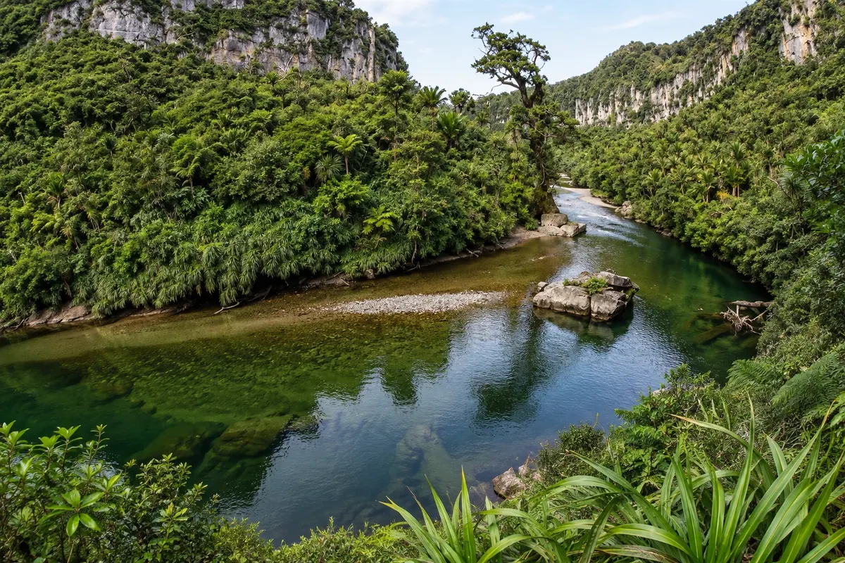
A level track through the limestone gorge of the Pororari River north of Punakaiki, among nikau palms and forest, with the green river running alongside. It can be combined with the Inland Pack Track as a circuit.