

 Brazil
 Argentina
 Bolivia
 Chile
 Colombia
 Ecuador
 Guyana
 French Guiana
 Falkland Islands (Malvinas)
 Paraguay
 Peru
 Suriname
 Uruguay
 Venezuela
 Germany
 Austria
 Belgium
 Croatia
 Denmark
 Spain
 Finland
 France
 Greece
 the Netherlands
 Hungary
 Ireland
 Iceland
 Italy
 Luxembourg
 Norway
 Poland
 Portugal
 the United Kingdom
 the Czech Republic
 Sweden
 Switzerland
 Turkey
 Mexico
 the Dominican Republic
 South Africa
Province · Suva e Pacific Harbour
Namosi
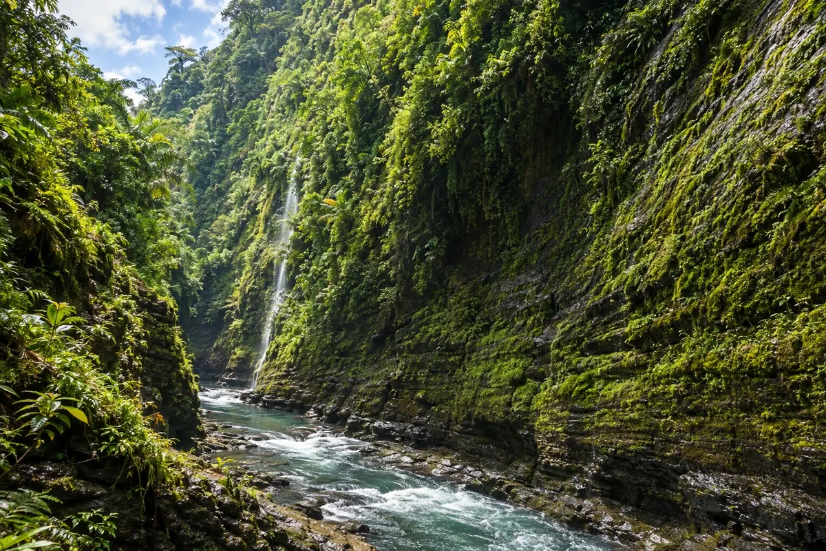
Namosi is the province of the mountains behind Pacific Harbour: the canyon of the upper Navua River, waterfalls in the forest, rafting and inland villages on Viti Levu.
In the photo: Canyon of the upper Navua River, Namosi Highlands
Illustrative images. The pictures in this guide are illustrations based on the real place, not photographs, and may differ from it.

The province
Get to know Namosi
Namosi is in the south of Viti Levu, west of Suva, and is the least populated province in the country. It has almost no coastline: it consists of forest-covered mountains, the Namosi Highlands, cut by rivers and canyons.
A major geological fault runs through the region between the Navua and Waidina rivers, and the Namosi gorge separates the two. The upper Navua River runs through a canyon of forested cliffs and waterfalls, where operators from Pacific Harbour run rafting and boat trips.
The Wainikoroiluva (Luva) River descends to the Wainuta waterfall, about 30 metres high, reached on kayak trips from Pacific Harbour. The landscape is forest, rock and water.
Almost the entire population lives in Fijian villages, under the authority of the Tui Namosi, the province's high chief. Part of the town of Navua lies in Namosi, and that is the access point into the mountains.
When to go
May to October is the quietest period for roads and mountain trails. From November to April, hot and rainy, rivers usually run higher and rafting trips depend on the water level; it is also cyclone season.
Getting there
There is no airport in the province. The route is via Pacific Harbour and Navua on the Queens Road, about an hour from Suva; from there rafting and kayaking trips into the interior depart. Confirm before booking. From Nadi International Airport, the drive to Pacific Harbour takes several hours.
Your questions
Frequently asked questions about Namosi
How do you go rafting on the Navua River?
Trips depart from Pacific Harbour with operators who drive groups up to the upper river in the Namosi mountains and run the canyon by raft. They depend on the water level: confirm the day before.
Can you visit Namosi on your own?
It is difficult: interior roads are unpaved, and villages receive visitors by invitation or with a guide. The most common way is an organized trip from Pacific Harbour.
What is the Wainuta waterfall?
It is a drop of about 30 metres on the Wainikoroiluva River at the bottom of the canyon, reached on kayak trips from Pacific Harbour, with a stop for swimming.
How many days should you allow for the Namosi highlands?
One day per trip. The rafting and kayaking trips leave in the morning from Pacific Harbour and return late afternoon, and you can do two on consecutive days.