

 Argentina
 Bolivia
 Chile
 Colombia
 Ecuador
 Guyana
 French Guiana
 Falkland Islands (Malvinas)
 Paraguay
 Peru
 Suriname
 Uruguay
 Venezuela
 Germany
 Austria
 Belgium
 Croatia
 Denmark
 Spain
 Finland
 France
 Greece
 the Netherlands
 Hungary
 Ireland
 Iceland
 Italy
 Luxembourg
 Norway
 Poland
 Portugal
 the United Kingdom
 the Czech Republic
 Sweden
 Switzerland
 Turkey
 the United States
 Mexico
 the Dominican Republic
 South Africa
 Australia
 Fiji
Before you go
Your trip to Aiuruoca.
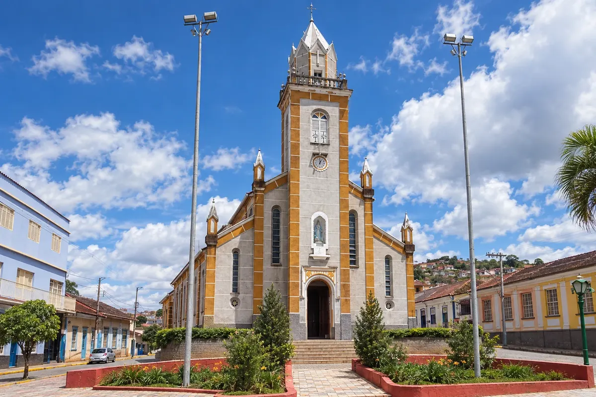
Illustrative images. The pictures in this guide are illustrations based on the real place, not photographs, and may differ from it.

Aiuruoca – MG Destination Serra da Mantiqueira about 394 km from Belo Horizonte
How to get there
It is about 390 km from Belo Horizonte, near Baependi and Caxambu, towns of the Circuito das Águas. The valleys with trails and waterfalls are 15 to 19 km from the center, on dirt roads that are usually in good condition during the dry season.
How many days
Two days allow for Cachoeira dos Garcias and another valley waterfall. To climb Pico do Papagaio, set aside a full day just for the trail, about 15 km round trip; with three or four days you can do the peak and several waterfalls.
When to go
From April to September it rains less and the sky is usually clearer, the best time for Pico do Papagaio; nights are cold. From November to March the waterfalls usually have more water, but afternoon rains and fog make the high trails difficult.
The seasons shown are the most usual ones; nature doesn't always follow the calendar.
Do you need a car?
Yes. The waterfalls and trailheads are in the valleys, 15 to 19 km from the center, on dirt roads. Pousadas and local guides also organize transport to the trails.
Suggested itinerary
An order that works
Built with the places on this page. No rush: it's paced so you have time to see them.
One day in Aiuruoca
-
Morning
Vale dos Garcias
Go early to Vale dos Garcias, about 15 km from the center, and descend the staircase to Cachoeira dos Garcias, with a 30-meter drop.
-
Afternoon
Bath and view of the Papagaio
Spend the afternoon at the pool and on the surrounding rocks, with Pico do Papagaio in view on clear days. Have lunch in the valley itself.
-
Late afternoon
Return via the valley road
Return at a relaxed pace along the dirt road, which opens views of the mountain range and the valleys around the town.
-
Evening
Aiuruoca town center
Dine in the center and try the trout and Mineiro food cooked on a wood-burning stove, common on the region's menus.
Check before you go. Opening hours and days change, and places may close for renovations, holidays or events. This itinerary is a suggestion from Cidade Turismo, not a commitment: plan yours by checking directly with each place you intend to visit.
Before you go
Frequently asked questions
Where is Aiuruoca located?
In southern Minas Gerais, in the Serra da Mantiqueira, about 390 km from Belo Horizonte, near Baependi and Caxambu.
How high is Pico do Papagaio?
About 2,100 meters. Measurements cited by sources range between 2,103 and 2,105 meters.
Do you need a guide to climb Pico do Papagaio?
It is not mandatory on all accesses, but it is recommended: the trail is long, has steep sections and exposed rock, and passes through areas of the state park. Local guides depart from Vale dos Garcias and Vale do Matutu.
How many days to stay in Aiuruoca?
Two days for the main waterfalls. With three or four days you can include the climb to Pico do Papagaio, which takes a full day.