

 Brazil
 Argentina
 Bolivia
 Chile
 Colombia
 Ecuador
 Guyana
 French Guiana
 Falkland Islands (Malvinas)
 Paraguay
 Peru
 Suriname
 Uruguay
 Venezuela
 Germany
 Austria
 Belgium
 Croatia
 Denmark
 Spain
 Finland
 France
 Greece
 the Netherlands
 Hungary
 Ireland
 Iceland
 Italy
 Luxembourg
 Norway
 Poland
 Portugal
 the United Kingdom
 the Czech Republic
 Sweden
 Switzerland
 Turkey
 Mexico
 South Africa
 Fiji
Province · Sudoeste: Barahona e Pedernales
San Juan
San Juan is the agricultural valley of the southwest: San Juan de la Maguana, one of the country's oldest towns, the Corral de los Indios, the Sabaneta reservoir, and the southern slope of Pico Duarte.
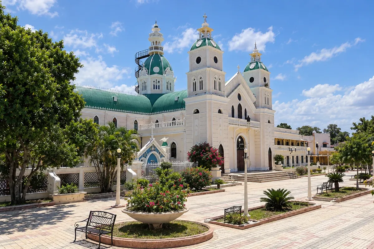
In the photo: Catedral de San Juan de la Maguana
Illustrative images. The pictures in this guide are illustrations based on the real place, not photographs, and may differ from it.

The province
Get to know San Juan
The province of San Juan occupies the San Juan valley, between the Cordillera Central to the north and the Sierra de Neiba to the south. It is one of the country's most important agricultural regions, known as the Dominican breadbasket for its plantings of beans, rice, corn and vegetables.
The capital, San Juan de la Maguana, was founded in 1503 on the former Taíno cacicazgo of Maguana, ruled by Caonabo and Anacaona, central figures in indigenous resistance to the Spanish. The town commemorates that past with statues and plazas, and has a tidy center with parks and cultural life.
About 5 km north of the town, the Corral de los Indios is a Taíno ceremonial plaza, a large circle of stones with a carved stone in the center, where, according to tradition, Anacaona led the areítos, the ritual festivals and dances. Further north, the Sabaneta reservoir forms a lake among mountains, and the Cordillera Central rises up to José del Carmen Ramírez National Park, from where one of the trails to Pico Duarte departs.
The local cuisine is well regarded: chivo (seasoned goat), cabrito, and chenchén, a corn dish, are San Juan's trademarks. The guide does not yet list towns in the province of San Juan.
When to go
The driest season, from December to April, is good for the valley and for mountain trails. The valley is hot during the day and cooler at night. Rains occur from May to November, especially in the afternoons.
Getting there
San Juan de la Maguana is about three hours from Santo Domingo via the southern highway, passing Baní and Azua, with frequent buses. Those arriving by plane use Santo Domingo airport (SDQ), about three hours from the town. For the Sabaneta reservoir and the mountains, secondary roads climb north from the town.
Your questions
Frequently asked questions about San Juan
What is the Corral de los Indios?
A Taíno ceremonial plaza about 5 km from San Juan de la Maguana: a large circle of stones with a carved stone in the center, traditionally linked to the cacica Anacaona.
Is San Juan de la Maguana an old town?
Yes, it was founded in 1503 on the former Taíno cacicazgo of Maguana.
Can you climb Pico Duarte starting from San Juan?
Yes, one of the trails starts on the southern side through José del Carmen Ramírez National Park; the most commonly used route, however, departs from La Ciénaga near Jarabacoa.
What do you eat in San Juan?
Chivo (seasoned goat), cabrito, and chenchén, a corn dish, are the region's specialties.