1 city

 the Dominican Republic
 Brazil
 Argentina
 Bolivia
 Chile
 Colombia
 Ecuador
 Guyana
 French Guiana
 Falkland Islands (Malvinas)
 Paraguay
 Peru
 Suriname
 Uruguay
 Venezuela
 Germany
 Austria
 Belgium
 Croatia
 Denmark
 Spain
 Finland
 France
 Greece
 the Netherlands
 Hungary
 Ireland
 Iceland
 Italy
 Luxembourg
 Norway
 Poland
 Portugal
 the United Kingdom
 the Czech Republic
 Sweden
 Switzerland
 Turkey
 Mexicothe Dominican Republic
 South Africa
 Fiji
Province · Sudoeste: Barahona e Pedernales
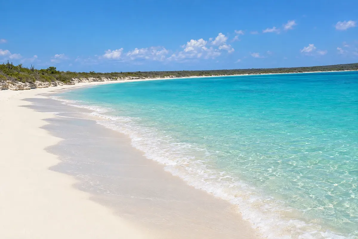
Pedernales is the far southwest tip: Bahía de las Águilas, one of the most remote beaches in the Caribbean, the Jaragua National Park with Laguna de Oviedo and the Hoyo de Pelempito in the Sierra de Bahoruco.
In the photo: Bahía de las Águilas, in Jaragua National Park (Pedernales)
Illustrative images. The pictures in this guide are illustrations based on the real place, not photographs, and may differ from it.

The province
Pedernales is the southwesternmost province of the Dominican Republic, on the border with Haiti, largely occupied by two national parks: Jaragua, on the limestone peninsula that juts into the sea, and the Sierra de Bahoruco in the mountains. Together with Lake Enriquillo they form the Jaragua-Bahoruco-Enriquillo biosphere reserve, recognized by UNESCO.
This guide covers the town of Pedernales, in the Barahona and Pedernales destination. The main attraction is Bahía de las Águilas, about 8 km of white sand and turquoise water with no buildings, reached by boat from La Cueva near Cabo Rojo, or by dirt road. In the Sierra de Bahoruco, the Hoyo de Pelempito is a huge forested sinkhole seen from a viewpoint over 1,400 meters high.
Inside Jaragua National Park are also Laguna de Oviedo, a brackish lagoon with flamingos and islets, and the islands Beata and Alto Velo off the coast. The beaches of Cabo Rojo, with light sand and calm sea, are near the port.
The region is dry, with cacti and thorn scrub on the coast, and cool in the mountains, with pine forests and orchids. Tourist facilities are basic, and the feeling is of being far from everything.
Destinations
Cities
In the dry months, from December to April, the crossing to Bahía de las Águilas is usually calm. It is hot year-round on the coast; at Hoyo de Pelempito the altitude brings cooler temperatures. Hurricanes can occur between June and November.
Pedernales is about 125 km from Barahona along the coastal road, roughly two and a half hours, and about six hours from Santo Domingo. For those who prefer to fly, there is María Montez (BRX) in Barahona. To reach Bahía de las Águilas, go to Cabo Rojo and La Cueva; for Hoyo de Pelempito, the road climbs the range from the Cabo Rojo highway.
Your questions
By boat from La Cueva, near Cabo Rojo, in about 20 minutes, or via a dirt road requiring a 4x4 through Jaragua National Park.
About six hours by car or bus; many people split the trip with an overnight in Barahona.
A brackish lagoon inside Jaragua National Park, with flamingos, herons and islets, visited by boat.
Basic: small hotels, cabins and some eco-lodges near Cabo Rojo, and fishermen's restaurants in La Cueva.