2 cities

 the Dominican Republic
 Brazil
 Argentina
 Bolivia
 Chile
 Colombia
 Ecuador
 Guyana
 French Guiana
 Falkland Islands (Malvinas)
 Paraguay
 Peru
 Suriname
 Uruguay
 Venezuela
 Germany
 Austria
 Belgium
 Croatia
 Denmark
 Spain
 Finland
 France
 Greece
 the Netherlands
 Hungary
 Ireland
 Iceland
 Italy
 Luxembourg
 Norway
 Poland
 Portugal
 the United Kingdom
 the Czech Republic
 Sweden
 Switzerland
 Turkey
 Mexicothe Dominican Republic
 South Africa
 Fiji
Province · Sudoeste: Barahona e Pedernales
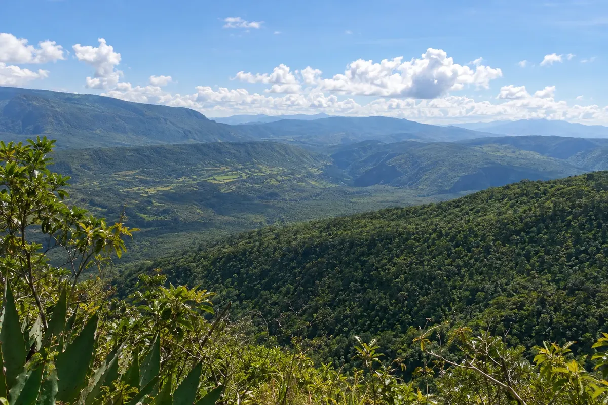
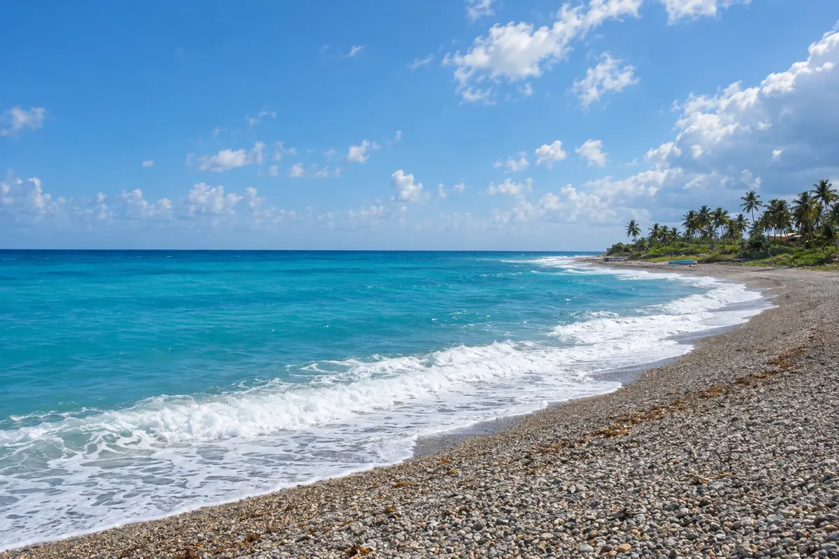
Barahona is the wild southern coast: rocky beaches where mountain rivers meet the sea, such as San Rafael and Los Patos, the larimar mines, Polo coffee and the road that continues to Pedernales.
In the photo: Playa San Rafael (Barahona)
Illustrative images. The pictures in this guide are illustrations based on the real place, not photographs, and may differ from it.

The province
The province of Barahona occupies the southwest coast, where the Sierra de Bahoruco drops down to the Caribbean Sea in a sequence of cliffs, white pebble beaches and fishing villages. The capital, Santa Cruz de Barahona, is a port with a malecón facing Neiba Bay and the main city of the southwest.
This guide covers the Barahona and Pedernales destination, including the towns of Santa Cruz de Barahona and Paraíso. South of the capital, the coastal road passes Playa San Rafael, where a cold mountain river descends into pools beside the sea, and through Paraíso and Playa Los Patos, where a short river forms a freshwater lagoon next to the beach.
In the mountains above the coast are the larimar mines, the pale-blue stone found only in the Dominican Republic, sold as jewelry throughout the region. Further inland, Polo produces one of the country’s best-known coffees and has the Polo Magnético, a slope where an optical illusion makes cars seem to roll uphill by themselves, and the Cachote cloud forest.
The province also reaches Lake Enriquillo and the Rincón lagoon in Cabral, one of the country’s largest freshwater lagoons, home to waterfowl.
Destinations
Cities
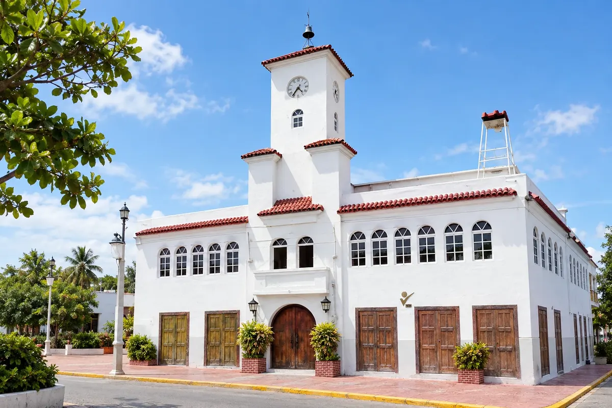
Santa Cruz de Barahona is the main city of the southwest, a port with a malecón facing the Neiba bay and the Sierra de Bahoruco behind. It is the base for the south coast road, with Playa San Rafael, where a mountain river forms freshwater pools beside the sea, and for Lake Enriquillo inland.
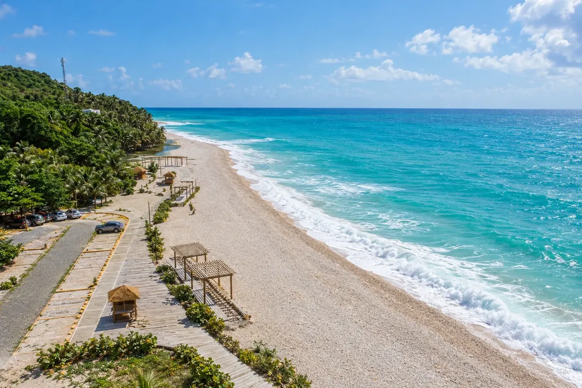
Paraíso is a fishing village on the southern coast of Barahona, between the mountain and the sea, with pebble and sandy beaches and cold-water rivers. Very close is Playa Los Patos, where the country’s shortest river, according to local tradition, forms a freshwater lagoon beside the beach.
From December to April it usually rains less and the coastal road looks nicer. Between June and November there is a hurricane risk on the southern coast, with heavy rains from August to October when the rivers rise. In the Polo mountains, the climate is cooler year-round.
María Montez International Airport (BRX) is about 13 km from Barahona, with few flights; most travelers arrive via Santo Domingo, about three and a half hours by car or bus on the southern highway. From the provincial capital, the coastal road continues to Paraíso and Pedernales; to Polo, a mountain road climbs into the range.
Your questions
Drive the coastal road, visiting San Rafael and Los Patos, see the larimar mines, taste Polo coffee and continue on to Lake Enriquillo or Pedernales.
A pale-blue stone found only in the Dominican Republic, mined in the mountains above the Barahona coast and sold as jewelry.
A slope near Polo where an optical illusion makes cars and objects appear to roll uphill by themselves.
About three and a half hours via the southern highway, passing Baní and Azua.
Many are white pebble beaches with open sea and waves; the calmest swimming is usually in the river lagoons, such as at San Rafael and Los Patos.