

 Brazil
 Argentina
 Bolivia
 Chile
 Colombia
 Ecuador
 Guyana
 French Guiana
 Falkland Islands (Malvinas)
 Paraguay
 Peru
 Suriname
 Uruguay
 Venezuela
 Germany
 Austria
 Belgium
 Croatia
 Denmark
 Spain
 Finland
 France
 Greece
 the Netherlands
 Hungary
 Ireland
 Iceland
 Italy
 Luxembourg
 Norway
 Poland
 Portugal
 the United Kingdom
 the Czech Republic
 Sweden
 Switzerland
 Turkey
 the United States
 Mexico
 the Dominican Republic
 South Africa
 Australia
 Fiji
 New Zealand
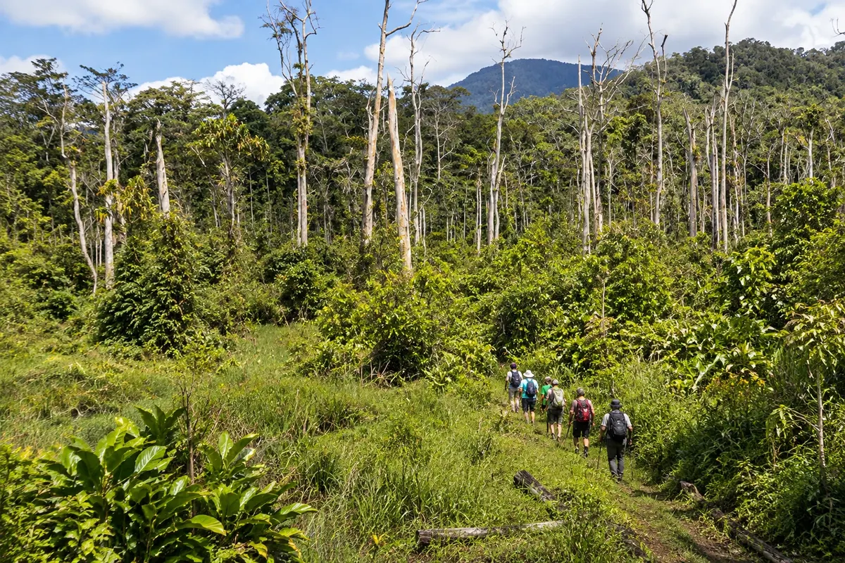
Trail · Kokoda, Oro
Kokoda Track
A multi-day walking route across the Owen Stanley Range, between Kokoda and Owers' Corner, with mountain forest, rivers, villages and 1942 battle sites.
Illustrative images. The pictures in this guide are illustrations based on the real place, not photographs, and may differ from it.

Discover
About Kokoda Track
The Kokoda Track is a narrow, single-file path that crosses the Owen Stanley Range between the Kokoda station in Oro and Owers' Corner in Central Province. It traverses rugged, isolated terrain that can only be covered on foot, passing through mountain forest, rivers and villages.
The highest point of the route is near Mount Bellamy, above 2,000 metres, and the low sections lie in the river valleys. Along the track are sites from the 1942 campaign, such as Isurava, Alola, Templeton’s Crossing, Brigade Hill and Imita Ridge, many with plaques and memorials.
Walkers sleep in camps and villages, and the guides and carriers come from the trail communities, which also charge local fees. The Kokoda Track Authority issues the mandatory permit and licences the operators.
The crossing requires physical fitness. There are muddy sections, roots and rocks, long climbs and steep descents, and rivers rise in the rainy season. Remnants of wartime ordnance still surface outside the marked paths.
Before you go
Practical information
Cidade Turismo reviews its information regularly, but something may have changed. Check with the place before planning your trip.
How much time to set aside
Generally six to ten days for the full crossing; short walks from Kokoda or from Owers' Corner take one to two days.
Best time
From April to November, the drier season. Even so, expect frequent rain in the mountains and cold nights on the high sections.
How to get there
From the north, starting at Kokoda station; from the south, starting at Owers' Corner, near Port Moresby. Licensed operators take walkers to both ends and arrange the permit.
Tip
Train with the footwear and backpack you will use on the trip in the months beforehand, stick to the marked paths and agree with your operator on the weight each carrier will carry.
Get your questions answered
Frequently asked questions about Kokoda Track
Kokoda Track or Kokoda Trail?
Both names are used for the same route. The Owers' Corner memorial shows Track on one side and Trail on the other.
Where do you sleep on the Kokoda Track?
In camps and villages along the way, with the infrastructure carried by the operator. Some villages have simple guesthouses.
Do you need permission for the Kokoda Track?
Yes. Every walker needs permission from the Kokoda Track Authority. Those traveling with a licensed operator usually have the permission included in the package.
What is the highest point on the Kokoda Track?
It is near Mount Bellamy, over 2,000 meters above sea level, in the central section of the Owen Stanley Range.