

 Argentina
 Bolivia
 Chile
 Colombia
 Ecuador
 Guyana
 French Guiana
 Falkland Islands (Malvinas)
 Paraguay
 Peru
 Suriname
 Uruguay
 Venezuela
 Germany
 Austria
 Belgium
 Croatia
 Denmark
 Spain
 Finland
 France
 Greece
 the Netherlands
 Hungary
 Ireland
 Iceland
 Italy
 Luxembourg
 Norway
 Poland
 Portugal
 the United Kingdom
 the Czech Republic
 Sweden
 Switzerland
 Turkey
 the United States
 Mexico
 the Dominican Republic
 South Africa
 Australia
 Fiji
Before you go
Your trip to Monte Verde.
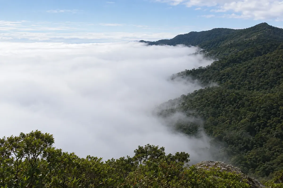
Illustrative images. The pictures in this guide are illustrations based on the real place, not photographs, and may differ from it.

Monte Verde – MG Destination Serra da Mantiqueira about 480 km from Belo Horizonte
How to get there
It is about 165 km from São Paulo and about 480 km from Belo Horizonte. Via the Fernão Dias you exit at Camanducaia and continue about 30 km on a paved, winding road to the district. There are buses from São Paulo to Camanducaia; from there you go by taxi or transfer.
How many days
Two or three days allow for the trails to Pedra Redonda and Chapéu do Bispo, tours of the rural area and evenings in the center. On a weekend you can do one trail and enjoy Avenida Monte Verde.
When to go
From June to August are the coldest days, with nights that can fall below zero and frosts; it is the busiest season. From December to March it rains more and trails may be closed on rainy days. April, May and September usually have stable weather and fewer people.
The seasons shown are the most usual ones; nature doesn't always follow the calendar.
Do you need a car?
You don't need a car for the center, which can be walked via Avenida Monte Verde. For the trailheads, about 3.5 km by road mostly unpaved, and for rural tours, a car helps; local agencies do the route by jeep.
Suggested itinerary
An order that works
Built with the places on this page. No rush: it's paced so you have time to see them.
One day in Monte Verde
-
Morning
Pedra Redonda
Follow Avenida das Montanhas to the parking lot at the start of the trails and climb Pedra Redonda, on the border of Minas with São Paulo, with wide views of the mountain range.
-
Afternoon
Chapéu do Bispo and the Platô
After lunch, do the short trail to Chapéu do Bispo and the Platô, with viewpoints over the valley.
-
Late afternoon
Avenida Monte Verde
Return to the center and walk along Avenida Monte Verde, among craft shops, cafés and chocolate shops.
-
Evening
Fondue and trout
Dine in the center: trout, fondue and Minas cuisine appear on menus. Nights are cold year-round.
Check before you go. Opening hours and days change, and places may close for renovations, holidays or events. This itinerary is a suggestion from Cidade Turismo, not a commitment: plan yours by checking directly with each place you intend to visit.
Before you go
Frequently asked questions
Is Monte Verde a city or a district?
It is a district of the municipality of Camanducaia, in Minas Gerais, created by state law 6.769 of May 13, 1976. The municipal seat of Camanducaia is about 30 km away, beside the Fernão Dias.
What is the altitude of Monte Verde?
The district center is at about 1,550 meters. The trail viewpoints, like Pedra Redonda, exceed 1,900 meters.
Is it cold in Monte Verde?
Yes. Nights are cold year-round, and from June to August early mornings can drop below zero, with frost.
Do you need a guide for Monte Verde trails?
On Pedra Redonda and Chapéu do Bispo the trails are marked and are usually done without a guide. For longer trails, such as Pico do Selado, local guides are recommended.
How to go from São Paulo to Monte Verde?
By car, via the Fernão Dias to Camanducaia and about 30 km more of paved road, for a total of about 165 km. By bus, go to Camanducaia and from there by taxi or transfer.