

 Argentina
 Bolivia
 Chile
 Colombia
 Ecuador
 Guyana
 French Guiana
 Falkland Islands (Malvinas)
 Paraguay
 Peru
 Suriname
 Uruguay
 Venezuela
 Germany
 Austria
 Belgium
 Croatia
 Denmark
 Spain
 Finland
 France
 Greece
 the Netherlands
 Hungary
 Ireland
 Iceland
 Italy
 Luxembourg
 Norway
 Poland
 Portugal
 the United Kingdom
 the Czech Republic
 Sweden
 Switzerland
 Turkey
 the United States
 Mexico
 the Dominican Republic
 South Africa
 Australia
 Fiji
Before you go
Your trip to Gonçalves.
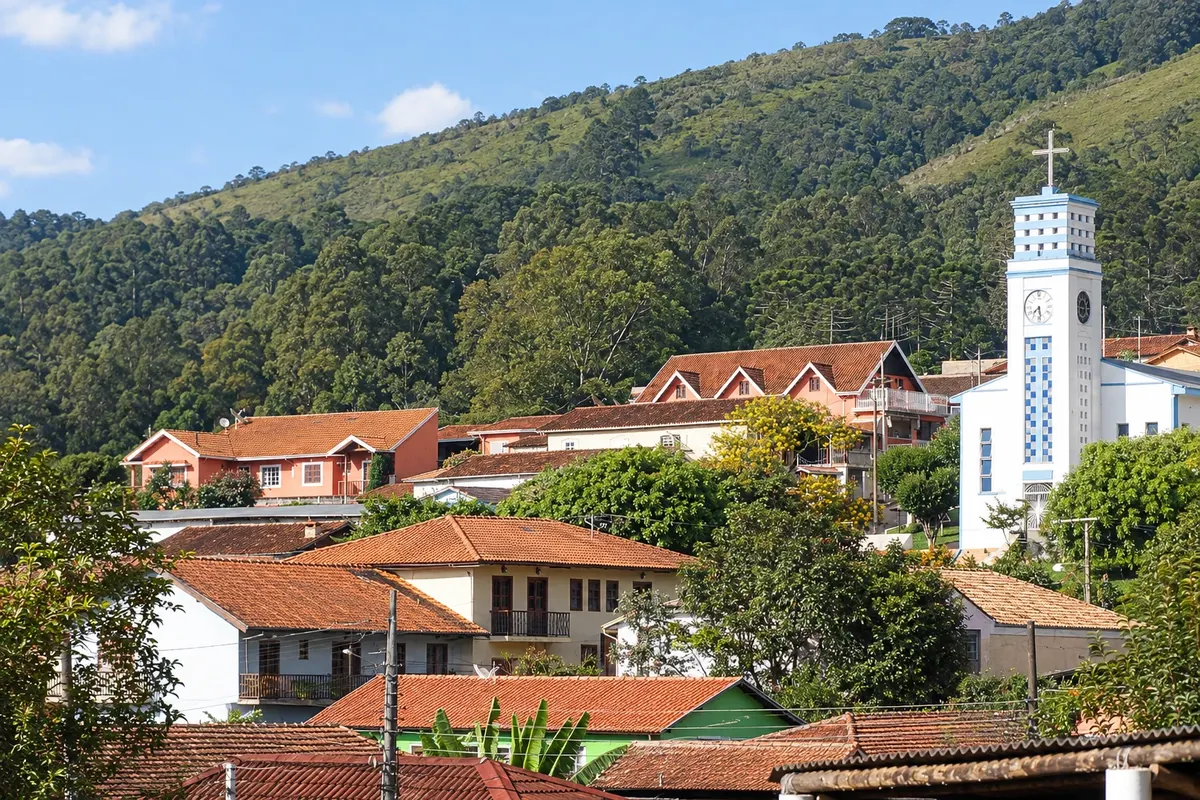
Illustrative images. The pictures in this guide are illustrations based on the real place, not photographs, and may differ from it.

Gonçalves – MG Destination Serra da Mantiqueira about 460 km from Belo Horizonte
How to get there
From São Paulo it is about 190 km via the Fernão Dias to Cambuí and then 22 km on a dirt road, or about 210 km entirely on paved roads via Santo Antônio do Pinhal and São Bento do Sapucaí, from which Gonçalves is 20 km along the MG-173. From Belo Horizonte, about 460 km via the Fernão Dias, exiting at Pouso Alegre and passing through Paraisópolis.
How many days
Two days allow for one trail, such as Pedra Chanfrada or Pedra do Forno, and two or three waterfalls, like Cachoeira do Simão and Cachoeira dos Henriques. With three or four days you can do both hikes and visit the waterfalls closest to the center, such as Sete Quedas.
When to go
From April to September it rains less, days are usually dry and nights are cold, with frost on some winter mornings. From November to March the waterfalls usually have more water and the trails become more slippery. July and long holiday weekends are the busiest periods.
The seasons shown are the most usual ones; nature doesn't always follow the calendar.
Do you need a car?
Yes. The waterfalls and trails are in the rural neighborhoods, up to 10 km from the center, on dirt roads. In the rainy season some ascents require caution. The town does not have transport to the attractions.
Suggested itinerary
An order that works
Built with the places on this page. No rush: it's paced so you have time to see them.
One day in Gonçalves
-
Morning
Pedra Chanfrada
Go early to the Terra Fria neighborhood, about 10 km away, and climb the Pedra Chanfrada trail, roughly 2 km round trip, with views over the valley and Pedra do Forno.
-
Afternoon
Cachoeira do Simão
After lunch in the rural neighborhood, head to Cachoeira do Simão, a few meters from the road, for a swim in the wide pool.
-
Late afternoon
Gonçalves town center
Return to the center and walk around the Igreja de Nossa Senhora das Dores, among craft shops and grocery emporiums.
-
Evening
Dinner in the mountains
Dine in the center or at one of the roadside restaurants; nights are usually cold, even in summer.
Check before you go. Opening hours and days change, and places may close for renovations, holidays or events. This itinerary is a suggestion from Cidade Turismo, not a commitment: plan yours by checking directly with each place you intend to visit.
Before you go
Frequently asked questions
Where is Gonçalves located?
In the far south of Minas Gerais, in the Serra da Mantiqueira, near the border with São Paulo, at about 1,350 meters elevation. It is about 20 km from São Bento do Sapucaí and about 190 km from São Paulo.
How to get to Gonçalves from São Paulo?
Via the Fernão Dias to Cambuí and then 22 km of dirt road, totaling about 190 km, or entirely on paved roads via Santo Antônio do Pinhal and São Bento do Sapucaí, totaling about 210 km.
What are Gonçalves's main trails?
The Pedra Chanfrada trail, about 2 km round trip, and the Pedra do Forno trail, a little longer and steeper, both in the Terra Fria neighborhood. There are also trails to Pedra de São Domingos and Pedra do Barnabé.
Is it cold in Gonçalves?
Yes. The town sits at about 1,350 meters and nights are cold year-round. From June to August early mornings can have frost. Bring warm clothing even in summer.