

 Argentina
 Bolivia
 Chile
 Colombia
 Ecuador
 Guyana
 French Guiana
 Falkland Islands (Malvinas)
 Paraguay
 Peru
 Suriname
 Uruguay
 Venezuela
 Germany
 Austria
 Belgium
 Croatia
 Denmark
 Spain
 Finland
 France
 Greece
 the Netherlands
 Hungary
 Ireland
 Iceland
 Italy
 Luxembourg
 Norway
 Poland
 Portugal
 the United Kingdom
 the Czech Republic
 Sweden
 Switzerland
 Turkey
 the United States
 Mexico
 the Dominican Republic
 South Africa
 Australia
 Fiji
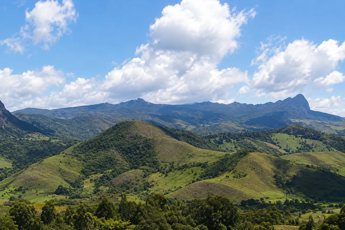
Mountain · Aiuruoca, MG
Pico do Papagaio
Mountain of about 2,100 meters in the Parque Estadual da Serra do Papagaio, in Aiuruoca, with a summit of rocky humps that resemble a parrot's beak and a 360-degree view of the Mantiqueira.
Illustrative images. The pictures in this guide are illustrations based on the real place, not photographs, and may differ from it.

Discover
About Pico do Papagaio
Pico do Papagaio is the main rock formation of the Serra do Papagaio and Aiuruoca's best-known attraction. It is about 2,100 meters in altitude and has a profile of rocky, rugged humps that, seen from certain angles, resemble a parrot's beak. It can be seen from the road and from several points in the valleys around the town.
The peak lies within the Parque Estadual da Serra do Papagaio, created on August 5, 1998 and managed by the Instituto Estadual de Florestas (IEF). The park covers 22,917 hectares across five municipalities — Aiuruoca, Alagoa, Baependi, Itamonte and Pouso Alto — and protects Atlantic Forest, high-altitude fields, araucarias and hundreds of springs.
There are several access routes. The most used start from Vale dos Garcias, near Cachoeira dos Garcias, and from Vale do Matutu, about 19 km from the center. The trails are roughly 15 km round trip, with an elevation gain of about 700 meters, and transition from Atlantic Forest to high-altitude fields with candeias and bromeliads. One section goes over exposed rock, with drops at the sides.
From the broad summit, the view is 360 degrees over the Mantiqueira, the valleys of Aiuruoca and, far below, Cachoeira dos Garcias. Some hikers do the traverse between the two valleys, ascending by one and descending the other.
Before you go
Practical information
Cidade Turismo reviews its information regularly, but something may have changed. Check with the place before planning your trip.
How much time to set aside
A full day: about 4 hours up and about the same down, with stops.
Best time
From April to September, when it rains less and the sky is usually clearer. Start at dawn or early in the morning. From November to March afternoons often have rain and fog at the top.
How to get there
Via Vale dos Garcias, about 15 km from Aiuruoca's center, starting near Cachoeira dos Garcias; or via Vale do Matutu, about 19 km, on a dirt road. Check with the park for visitor rules and open access points.
Tip
Go with a guide if you don't know the trail, bring plenty of water, snacks, warm clothing and a raincoat, and start early. Do not climb in heavy rain or fog: the rock section becomes slippery.
Get your questions answered
Frequently asked questions about Pico do Papagaio
How long does the Pico do Papagaio trail take?
A full day. The most used trails are about 15 km round trip and take around 4 hours to ascend, with steep sections.
Which route is used to climb Pico do Papagaio?
The most used routes are via Vale dos Garcias, which pairs with Cachoeira dos Garcias, and via Vale do Matutu. Both are similar distances, about 15 km round trip.
Is Pico do Papagaio located in a state park?
Yes, in the Parque Estadual da Serra do Papagaio, administered by IEF. Check the visiting rules before you go.