

 Argentina
 Bolivia
 Chile
 Colombia
 Ecuador
 Guyana
 French Guiana
 Falkland Islands (Malvinas)
 Paraguay
 Peru
 Suriname
 Uruguay
 Venezuela
 Germany
 Austria
 Belgium
 Croatia
 Denmark
 Spain
 Finland
 France
 Greece
 the Netherlands
 Hungary
 Ireland
 Iceland
 Italy
 Luxembourg
 Norway
 Poland
 Portugal
 the United Kingdom
 the Czech Republic
 Sweden
 Switzerland
 Turkey
 the United States
 Mexico
 the Dominican Republic
 South Africa
 Australia
 Fiji
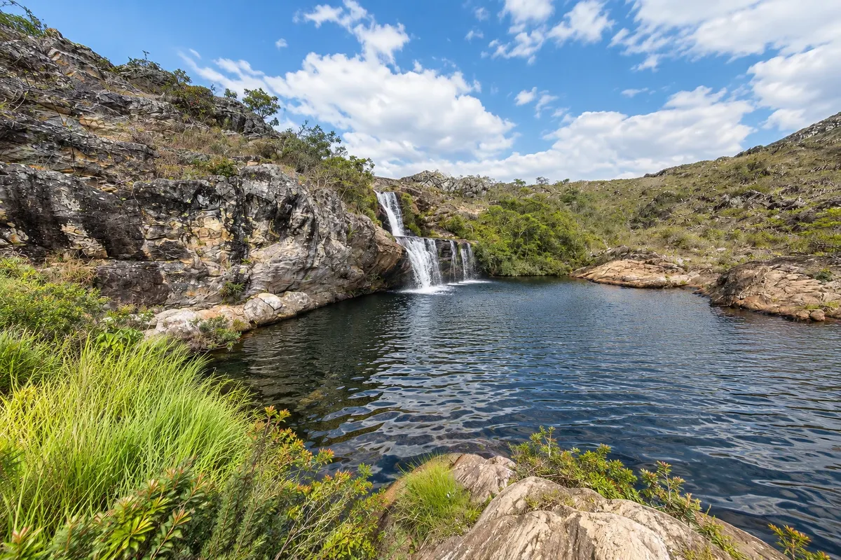
Park · Biribiri, MG
Biribiri State Park
State park of about 17 thousand hectares in the Serra do Espinhaço, north of Diamantina, with rocky campos, cerrado, waterfalls such as Cachoeira da Sentinela and Cachoeira dos Cristais, and the old workers' village of Biribiri.
Illustrative images. The pictures in this guide are illustrations based on the real place, not photographs, and may differ from it.

Discover
About Biribiri State Park
Parque Estadual do Biribiri was created on September 22, 1998, and protects about 17 thousand hectares in the municipality of Diamantina, in the Serra do Espinhaço, in the Jequitinhonha River basin. It is managed by the Instituto Estadual de Florestas de Minas Gerais (IEF). Elevation ranges from about 720 meters in the north to about 1,480 meters in the south, and the landscape alternates quartzite outcrops, rocky campos and cerrado, with dark-water rivers.
The dirt road that leaves Diamantina crosses the park to Vila do Biribiri and passes the most visited waterfalls. Cachoeira da Sentinela has drops of about 8 meters over stone slabs that form swimming pools. Cachoeira dos Cristais is further on, with a sequence of falls and pools. The Caminho dos Escravos, a trail of about 20 km with stretches of old stone paving, also crosses the park area.
In the center of the park is the former workers' village, built for the textile factory that operated from 1876 to 1973. The complex, with houses, the Capela do Sagrado Coração de Jesus, a school and the factory building, has been listed by Iepha-MG since 1994.
The park receives tens of thousands of visitors per year and is one of the most sought-after in Minas Gerais. The bathing spots are on the roadside or a few minutes' walk away; in the rainy season the force of the water can change from one day to the next.
Before you go
Practical information
Cidade Turismo reviews its information regularly, but something may have changed. Check with the place before planning your trip.
How much time to set aside
A full day for the road, two waterfalls and the village; half a day for one waterfall and the village.
Best time
From May to September, with a firm road and dry days. From November to March the waterfalls usually have more water, but avoid swimming during heavy rain in the serra, when the river level rises quickly.
How to get there
Leave Diamantina via the road that heads north toward Biribiri; the park entrance is about 13 km from the center, and the village about 15 km. The road is unpaved and is usually traveled by regular cars.
Tip
Bring water, snacks and sunscreen; on weekdays there is little open infrastructure. Do not make fires and take your trash back with you. Leave before dark, because the road has no lighting.
Official website
Get your questions answered
Frequently asked questions about Biribiri State Park
Which waterfalls are in Parque Estadual do Biribiri?
The most visited are Cachoeira da Sentinela, with low drops and pools over stone slabs, and Cachoeira dos Cristais, further along the park road.
What is the distance from Diamantina to Parque do Biribiri?
The entrance is about 13 km from Diamantina's center, and Vila do Biribiri about 15 km, via dirt road.
Who manages Parque Estadual do Biribiri?
The Instituto Estadual de Florestas de Minas Gerais (IEF). The former workers' village inside the park belongs to a private company and is listed by Iepha-MG.