

 Brazil
 Argentina
 Bolivia
 Chile
 Colombia
 Ecuador
 Guyana
 French Guiana
 Falkland Islands (Malvinas)
 Paraguay
 Peru
 Suriname
 Uruguay
 Venezuela
 Germany
 Austria
 Belgium
 Croatia
 Denmark
 Spain
 Finland
 France
 Greece
 the Netherlands
 Hungary
 Ireland
 Iceland
 Italy
 Luxembourg
 Norway
 Poland
 Portugal
 the United Kingdom
 the Czech Republic
 Sweden
 Switzerland
 Turkey
 the United States
 Mexico
 the Dominican Republic
 South Africa
 Australia
 Fiji
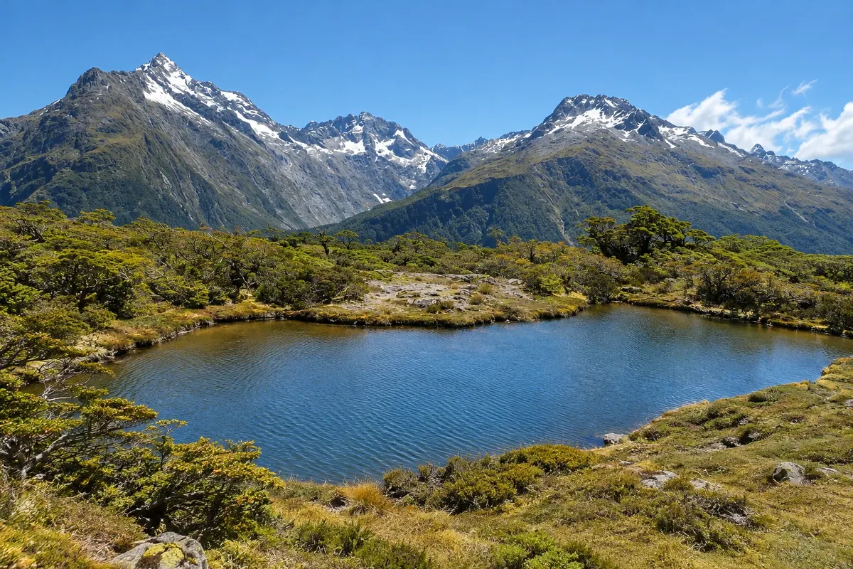
Trail · Glenorchy, Otago
Routeburn Track
One of New Zealand’s Great Walks: 32 km between Routeburn Shelter, near Glenorchy, and The Divide on the Milford road, crossing Mount Aspiring and Fiordland National Parks via the Harris Saddle.
Illustrative images. The pictures in this guide are illustrations based on the real place, not photographs, and may differ from it.

Discover
About Routeburn Track
The Routeburn Track is 32 km and links two national parks, Mount Aspiring and Fiordland, which are part of Te Wāhipounamu, a UNESCO World Heritage area. One end is at Routeburn Shelter, at the end of the road out of Glenorchy, and the other is at The Divide on State Highway 94, the Milford Sound road.
The route typically takes three days, with nights in Department of Conservation huts. It climbs through beech forest in the Route Burn valley to Routeburn Falls, crosses the Harris Saddle at about 1,255 meters on the border between the parks, and continues across open slopes with views of the Fiordland mountains to Lake Mackenzie and Lake Howden. Near The Divide, a side track leads to the Key Summit viewpoint at 918 meters.
The main season runs from late October to late April, when huts and campsites must be booked in advance. Outside that season the track is for people with mountain experience, because of avalanche risk. As the trailheads are far apart by road, people doing the crossing arrange return transport.
Before you go
Practical information
Cidade Turismo reviews its information regularly, but something may have changed. Check with the place before planning your trip.
How much time to set aside
Three days for the full track; about 5 to 7 hours return from Routeburn Shelter to Routeburn Falls.
Best time
From late October to late April, the season when huts are open and bookings are required. Outside that period, only for those with mountain experience and equipment.
How to get there
Routeburn Shelter is about 25 km from Glenorchy by road, with parking and walker transport from Queenstown. The other end, at The Divide, is on the road between Te Anau and Milford Sound.
Tip
Book huts on the Department of Conservation website as soon as bookings open — the track fills up. Bring clothing for cold and wet conditions, even in summer.
Get your questions answered
Frequently asked questions about Routeburn Track
How long does the Routeburn Track take?
About three days for the 32 km. A one-day section from Routeburn Shelter reaches Routeburn Falls.
Do you need to book the Routeburn Track?
To sleep in huts and campsites during the season from late October to late April, yes — in advance. Day walking does not require a booking.
Where does the Routeburn Track start?
At Routeburn Shelter, about 25 km from Glenorchy, or at The Divide on the Milford Sound road.
Can you do the Routeburn in winter?
Only for those with mountain experience and equipment, because there is a risk of avalanche and hut services are limited.