

 Brazil
 Argentina
 Bolivia
 Chile
 Colombia
 Ecuador
 Guyana
 French Guiana
 Falkland Islands (Malvinas)
 Paraguay
 Peru
 Suriname
 Uruguay
 Venezuela
 Germany
 Austria
 Belgium
 Croatia
 Denmark
 Spain
 Finland
 France
 Greece
 the Netherlands
 Hungary
 Ireland
 Iceland
 Italy
 Luxembourg
 Norway
 Poland
 Portugal
 the United Kingdom
 the Czech Republic
 Sweden
 Switzerland
 Turkey
 the United States
 Mexico
 the Dominican Republic
 South Africa
 Australia
 Fiji
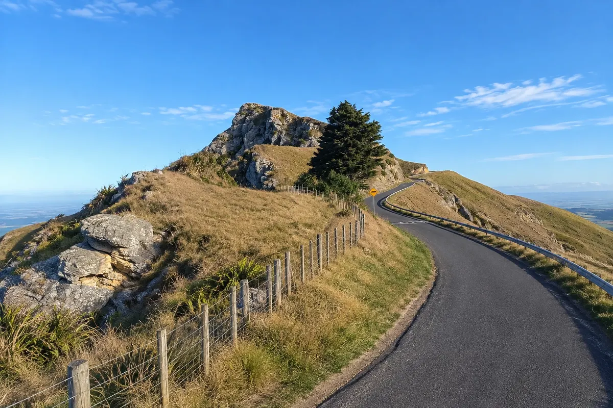
Viewpoint · Hastings (Heretaunga), Hawke's Bay
Te Mata Peak
A 399-meter peak south of Hastings, with a road to the summit and a lookout over the plains, vineyards and Hawke Bay; on clear days you can see Mount Ruapehu.
Illustrative images. The pictures in this guide are illustrations based on the real place, not photographs, and may differ from it.

Discover
About Te Mata Peak
Te Mata Peak is the highest point of a limestone ridge south of Havelock North, about 12 km from downtown Hastings. At 399 meters, it dominates the Heretaunga plain, covered with orchards, vineyards and towns, and overlooks Hawke Bay toward Napier.
For the Ngāti Kahungunu Māori, the ridge is the body of Rongokako, a giant who, according to legend, died while attempting tasks to win a woman and remained lying in the landscape. The shape of the summit, as seen from Hastings, is said to resemble the sleeping giant.
A narrow, winding road climbs to the top, where there is a viewpoint and parking. From the summit you can see Cape Kidnappers to the east and, on clear days, Mount Ruapehu more than 100 km to the west. The eastern slope drops in cliffs above the Tukituki River valley, and the wind makes the site popular for paragliding.
The surrounding Te Mata Park is maintained by a private trust and has walking and mountain bike trails, with sequoia stands and sheep pastures. Entry to the park and viewpoint is free.
Before you go
Practical information
Cidade Turismo reviews its information regularly, but something may have changed. Check with the place before planning your trip.
How much time to set aside
About 30 minutes to 1 hour by car to the viewpoint; 2 to 3 hours if walking a trail.
Best time
At sunset or sunrise, with low light over the plain. On clear days you’re more likely to see Ruapehu. In strong winds, take care near the cliff edges.
How to get there
By car, about 20 minutes from central Hastings, via Havelock North and Te Mata Peak Road to the summit. On foot or by bike, use the trails that start at the park base.
Tip
Drive up the road and descend via one of the trails, arranging for someone to pick you up by car, or do the out-and-back trail. Bring a warm layer: it’s windy at the summit.
Official website
Get your questions answered
Frequently asked questions about Te Mata Peak
Can you drive up to Te Mata Peak?
Yes — a narrow, winding road leads to the viewpoint, with parking at the top.
What can you see from Te Mata Peak?
The Heretaunga plain, vineyards, Hawke Bay, Cape Kidnappers and, on clear days, Mount Ruapehu.
How high is Te Mata Peak?
399 meters.
Are there trails at Te Mata Peak?
Yes. The surrounding park has walking and mountain bike trails of various lengths.