Aoraki / Mount Cook and Tekapo

Canterbury · New Zealand

Aoraki / Mount Cook and Tekapo

The highest mountain in New Zealand, glaciers and blue-turquoise lakes on the Mackenzie Plateau, the church on the shore of Lake Tekapo and a dark-sky reserve.

Canterbury and the West Coast

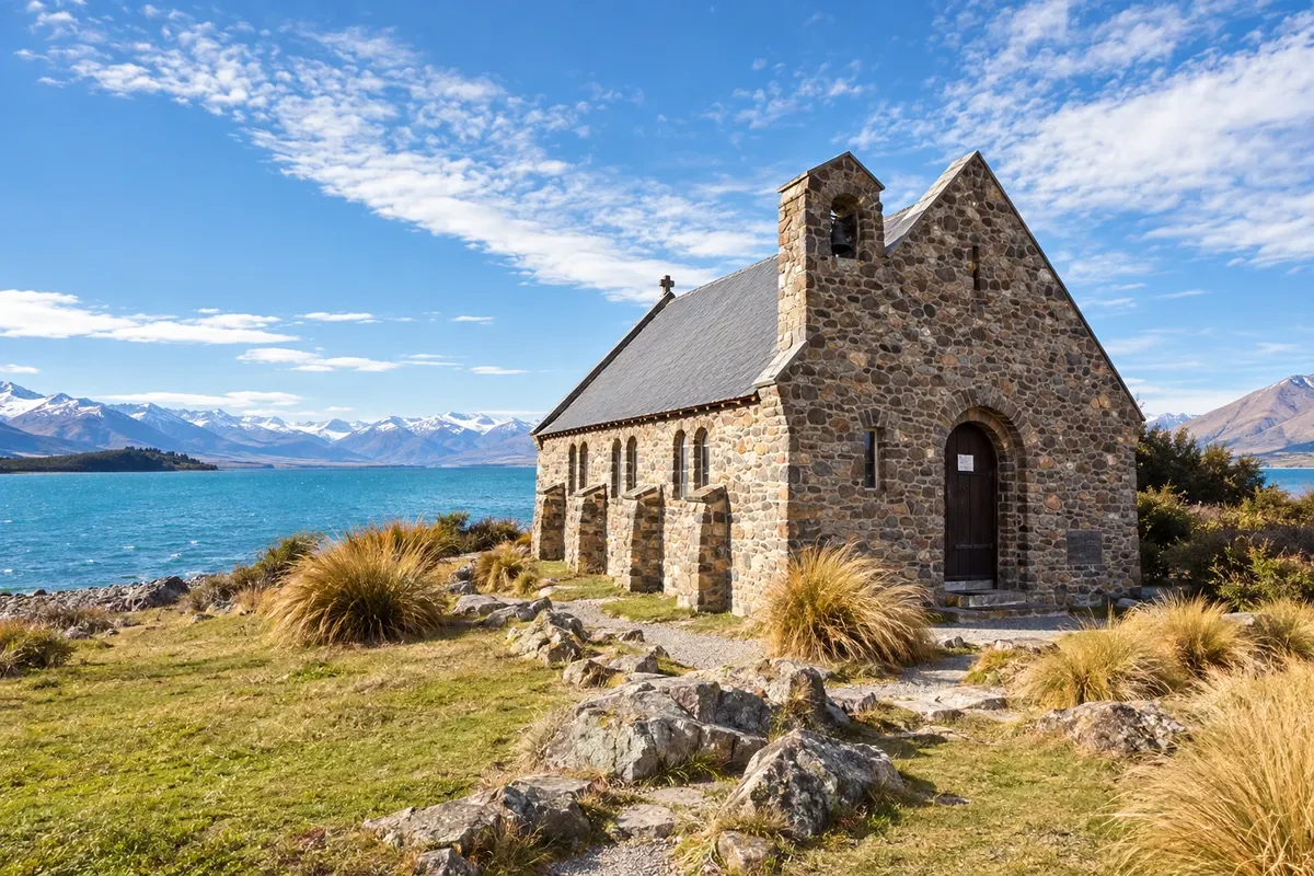
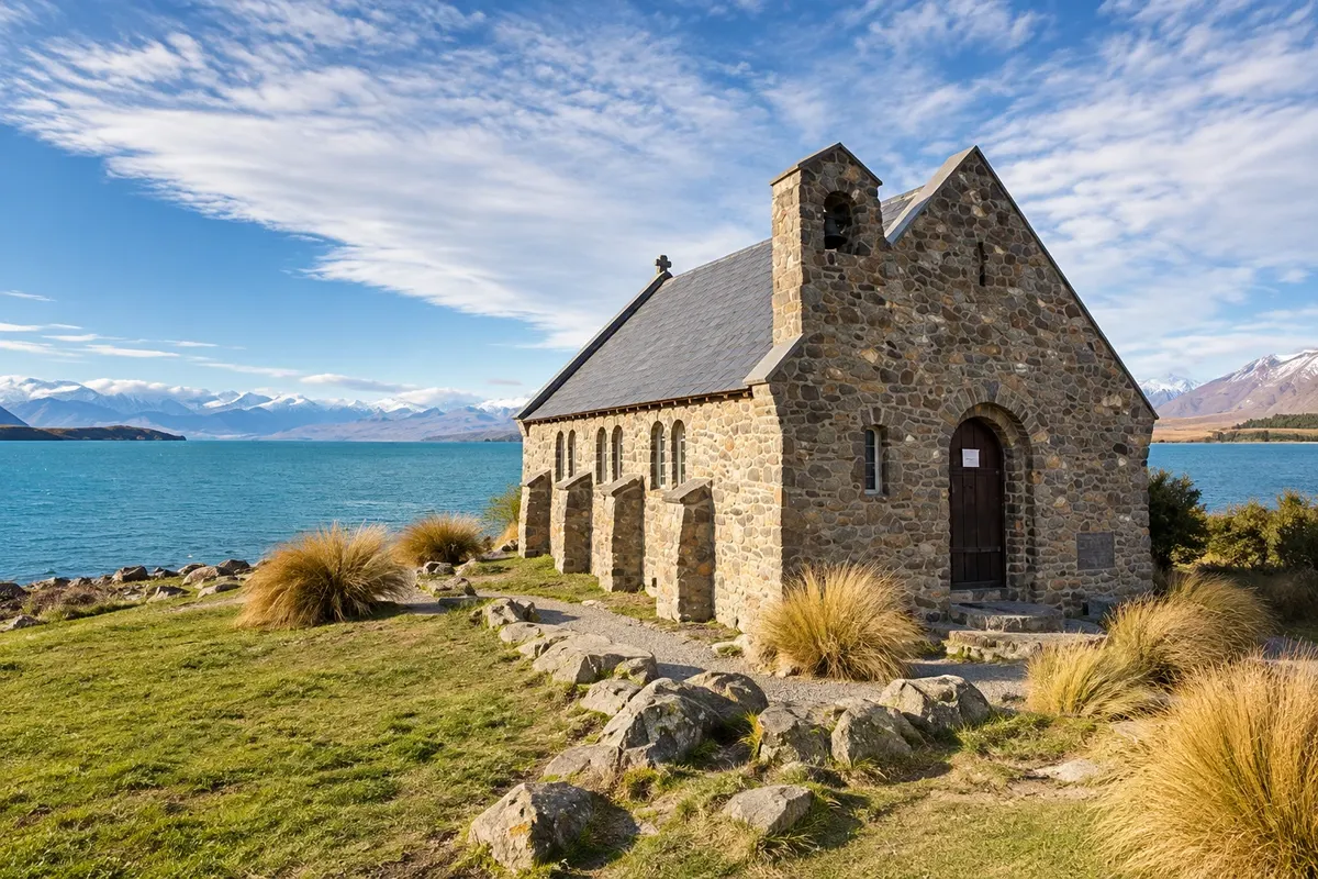
In the photo: Church of the Good Shepherd and Lake Tekapo

Illustrative images. The pictures in this guide are illustrations based on the real place, not photographs, and may differ from it.

Get it on Google Play Send your photos

Get to know the place

A region to enjoy
at your own pace.

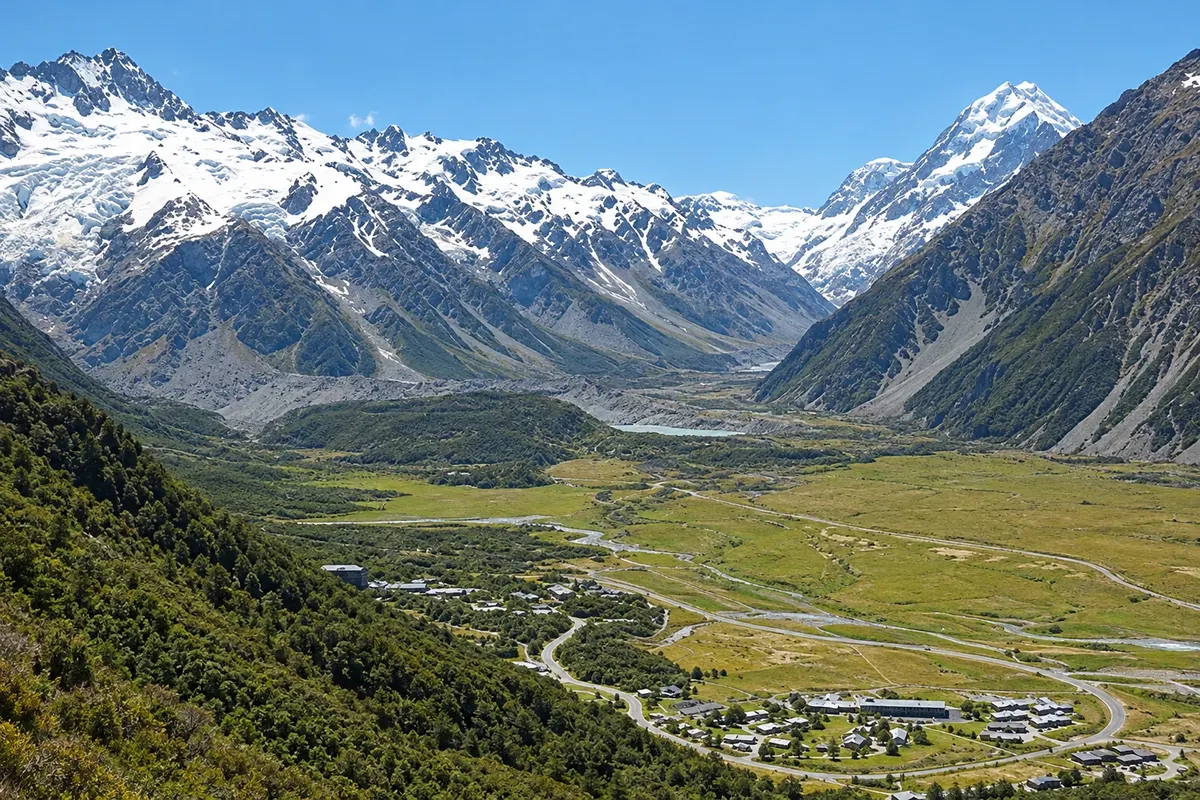
No centro da Ilha Sul, a planície seca do Mackenzie Basin termina na muralha dos Alpes do Sul. Ali fica Aoraki/Mount Cook, a montanha mais alta da Nova Zelândia, com 3.724 metros, cercada de geleiras e de outros picos acima de 3 mil metros. O Parque Nacional Aoraki/Mount Cook faz parte de Te Wāhipounamu, a área do sudoeste do país inscrita como patrimônio mundial da UNESCO.

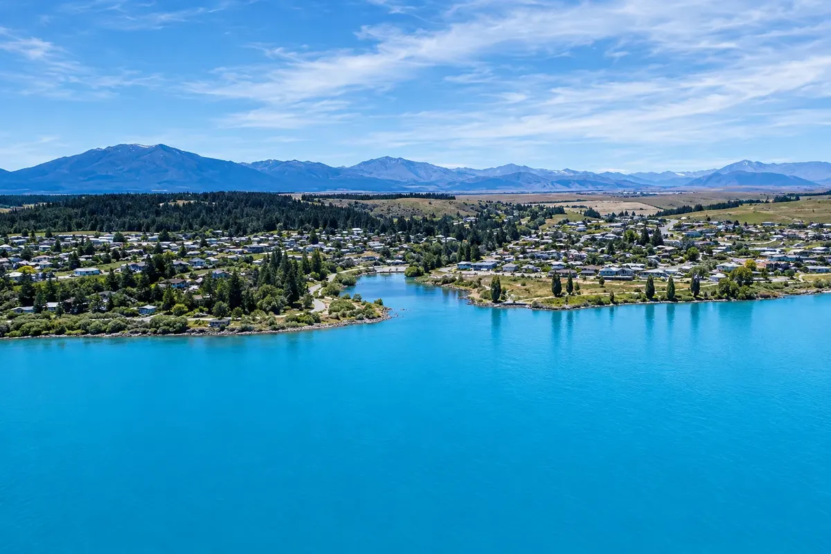
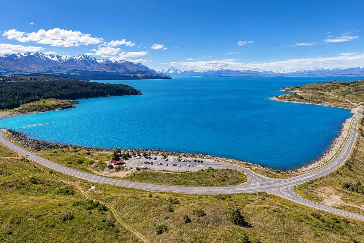
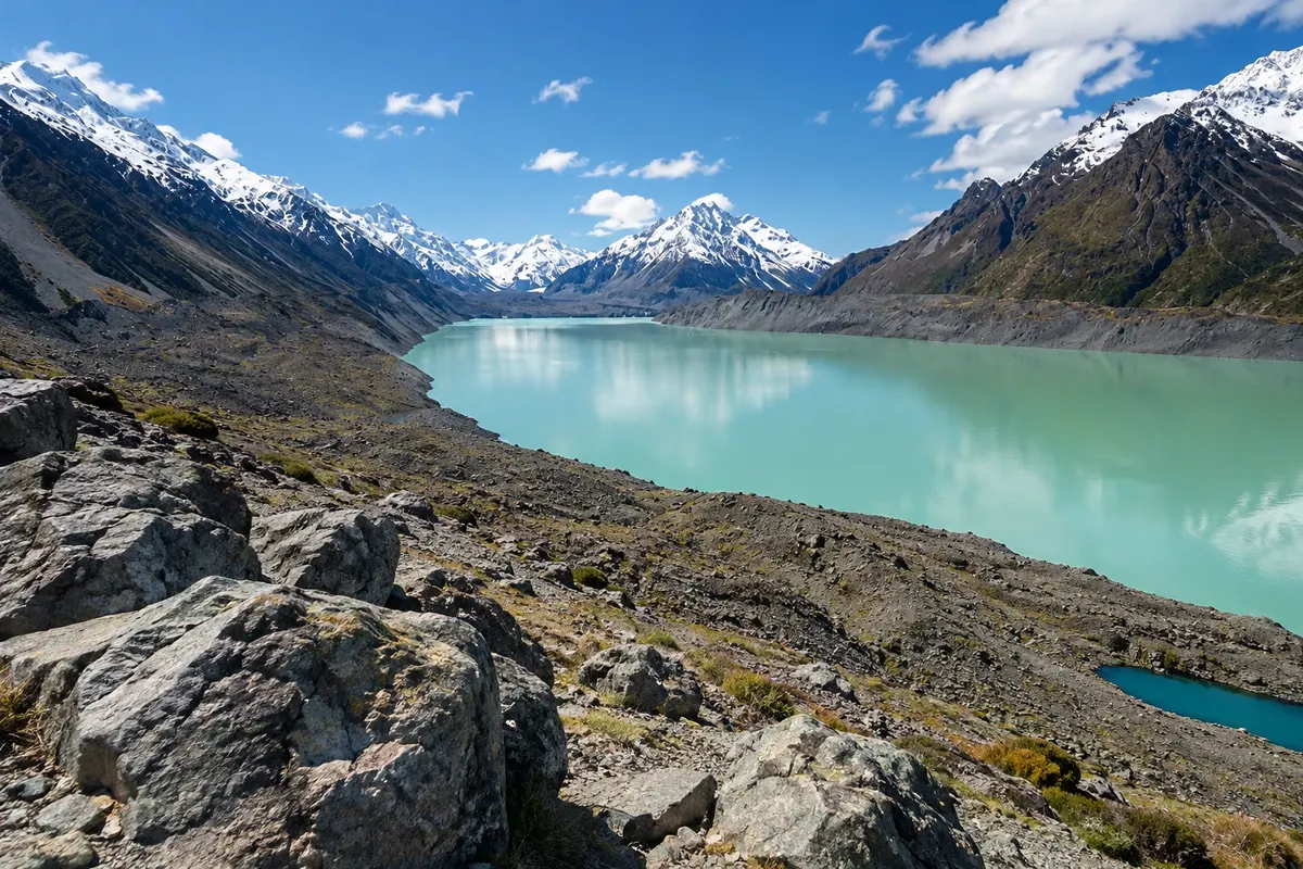
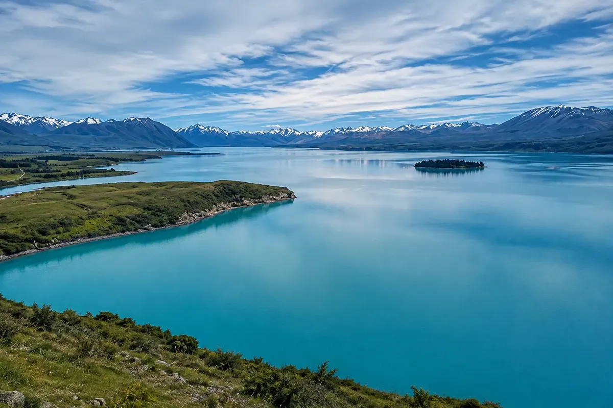
Os lagos do planalto, Tekapo e Pukaki, recebem a água das geleiras e têm uma cor azul-leitosa que vem do pó de rocha moída pelo gelo, a chamada farinha glacial. À beira do Lago Tekapo, a vila de mesmo nome tem cerca de 600 habitantes e a pequena Igreja do Bom Pastor, de 1935, com a janela do altar voltada para o lago e as montanhas. Pela margem do Pukaki, a estrada segue até a vila de Aoraki/Mount Cook, a 750 metros de altitude, no fim do vale, ao pé da montanha.

Da vila saem as trilhas mais procuradas da região, como a do vale Hooker, que termina num lago glacial com vista direta para Aoraki, e os caminhos até o Lago Tasman, formado pelo recuo da Geleira Tasman, a mais longa do país. Voos panorâmicos sobrevoam as geleiras e alguns pousam na neve.

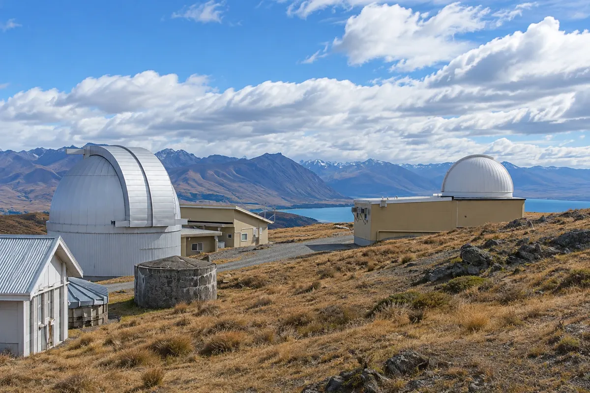
O céu é parte da viagem. Em 2012, a região foi declarada Reserva Internacional de Céu Escuro Aoraki Mackenzie, com 4.300 km² onde a iluminação é controlada, e o observatório do Monte John, acima de Tekapo, recebe visitantes. Twizel, cidade criada em 1968 para as obras das hidrelétricas, completa a região, com mais serviços e hospedagem perto do Lago Pukaki.

This destination brings together 3 cities: Tekapo, Aoraki / Mount Cook, Twizel.

Share: WhatsApp
Traveler, share your experiences through photos Up to 5 photos of each place you visited.

One destination, many paths

The cities on this trip

Start with one city or combine several in your itinerary.

Where Aoraki / Mount Cook and Tekapo is
TwizelTekapoAoraki/Mount Cook

Boundaries: Stats NZ / geoBoundaries (CC BY 4.0). Adapted by Cidade Turismo.

How to get there: Aoraki / Mount Cook and Tekapo

✈ Aeroporto Internacional de Christchurch (CHC), in Christchurch · 227 km to Tekapo

✈ Aeroporto de Queenstown (ZQN), in Queenstown · 260 km to Tekapo

From Christchurch, Tekapo is about 227 km away, roughly a 3-hour drive, and the village of Aoraki/Mount Cook is about 105 km from Tekapo. From Queenstown it’s about a 3-hour drive to Twizel. Long-distance buses pass through Tekapo and Twizel, and there are buses to the village of Aoraki/Mount Cook.

Suggested arrival point: Tekapo

The local experience

Things to do in Aoraki / Mount Cook and Tekapo

Church of the Good Shepherd
Tekapo · Canterbury · Church

Church of the Good Shepherd

Small stone church built in 1935 on the shore of Lake Tekapo, the first on the Mackenzie Plateau. The altar window frames the lake and mountains. Beside it stands the bronze shepherd dog statue.

Lake Pukaki
Twizel · Canterbury · Lake

Lake Pukaki

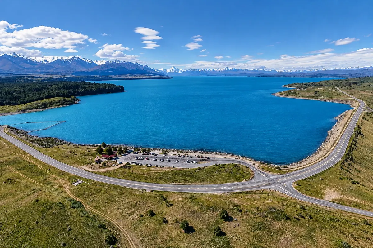
Glacial lake of 178.7 km², milky-blue in color, with views to Aoraki/Mount Cook about 70 km to the north. Visitor centre on the south shore, about 7 km from Twizel.

Hooker Valley Track
Aoraki / Mount Cook · Canterbury · Trail

Hooker Valley Track

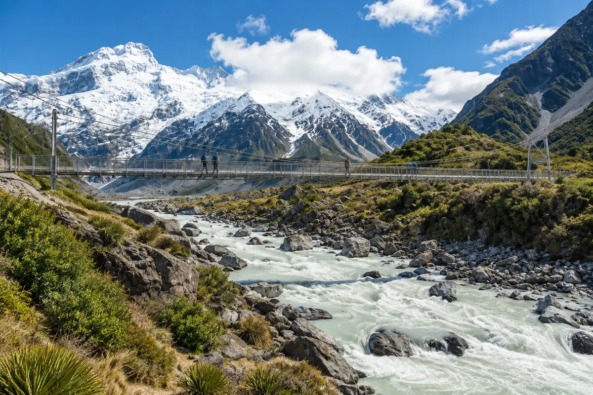
About a 5 km track each way, almost flat, with three suspension bridges over the Hooker River, to Hooker Glacial Lake, with icebergs and a direct view of Aoraki/Mount Cook.

Omarama Clay Cliffs
Twizel · Canterbury · Rock formation

Omarama Clay Cliffs

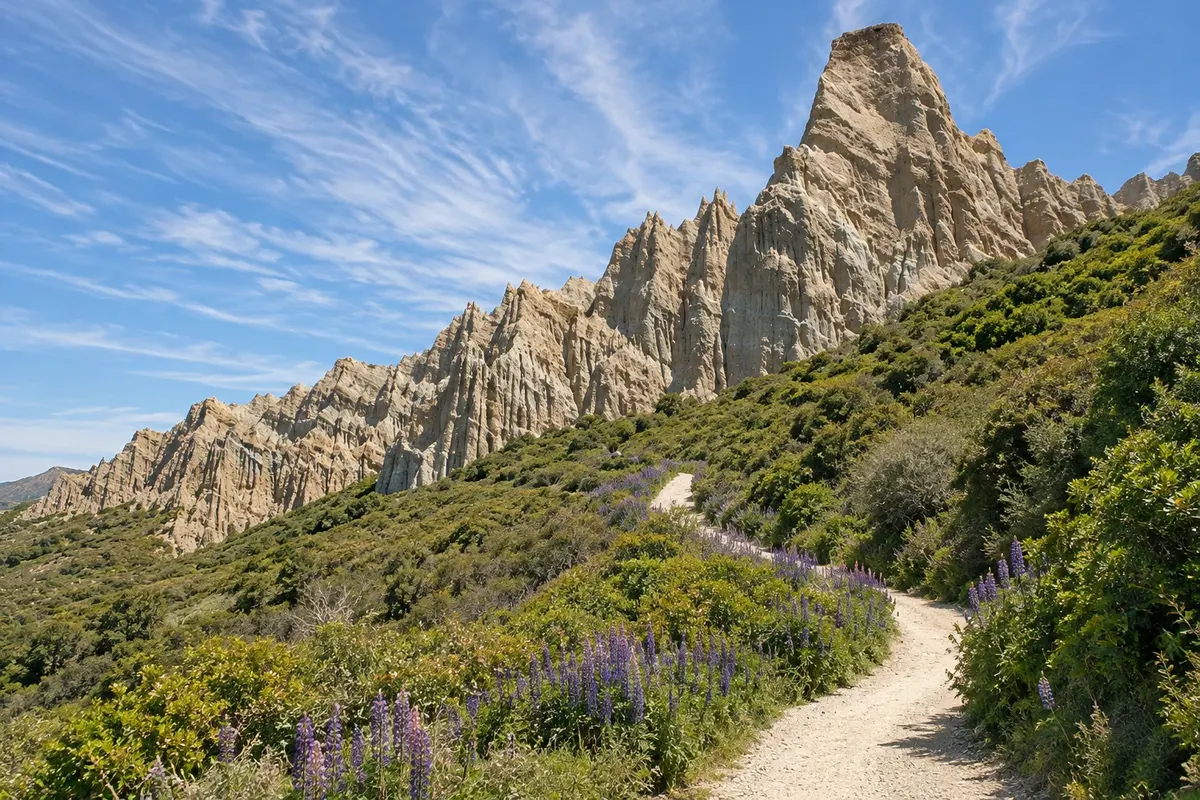
Towers and cliffs of gravel and clay sculpted by erosion, near Omarama about 40 km from Twizel. A short trail runs between the formations on private land.

See 4 more places in Aoraki / Mount Cook and Tekapo
Tasman Glacier / Tasman Lake
Aoraki / Mount Cook · Canterbury · Glacier

Tasman Glacier / Tasman Lake

The Tasman Glacier, about 23.5 km long, is New Zealand’s longest glacier. The lake in front of it formed from the 1970s and contains icebergs. There is a short-track viewpoint and boat trips in season.

Mount John
Tekapo · Canterbury · Viewpoint

Mount John

Hill north of Tekapo village with the University of Canterbury observatory and 360‑degree views of the lake, the Mackenzie Plateau and the Southern Alps. Accessible by road or by trail.

Lake Tekapo
Tekapo · Canterbury · Lake

Lake Tekapo

A glacial lake on the Mackenzie Plateau, with a milky‑blue colour caused by glacial flour. The shores have trails, pebble beaches and, in late spring, flowering lupins.

Kea Point Track
Aoraki / Mount Cook · Canterbury · Trail

Kea Point Track

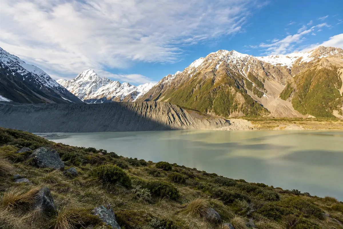
Short, flat walk from the village to a viewpoint over the moraine and Mueller Glacier lake, with views of Aoraki/Mount Cook and Mount Sefton.

Before you go

Practical information

A little planning leaves more time to enjoy the journey.

When to go

From December to March, with long days and snow-free trails. November and December often have lupines blooming on the lake shores. From June to August it is very cold, it snows in the mountains and the long nights favour sky watching. The weather changes quickly year-round; clouds can hide the mountain for days.

The seasons shown are the most usual ones; nature doesn't always follow the calendar.

How many days to stay

Three days: one in Tekapo, for the church, Mount John and stargazing; two in the village of Aoraki/Mount Cook, for the Hooker Valley trail, Lake Tasman and a buffer day for the weather. With less time many people do one day in each place.

Which city to stay in

Tekapo has lakeside accommodation and is the base for night sky activities. The village of Aoraki/Mount Cook has few options, in the middle of the park, and fills up in summer. Twizel, about 65 km from the village, offers more options and lower prices.

Respect the place

Take your trash with you, follow the signs and support local businesses. In natural areas, follow the visiting guidelines.

Get your questions answered

Frequently asked questions about Aoraki / Mount Cook and Tekapo

How many days to stay in Tekapo and Aoraki/Mount Cook?

Three days let you see Tekapo and the night sky and do the park trails with a buffer for the weather. With two days, do one in each place. Clouds can hide the mountain, so it’s worth having an extra day.

Can you go from Christchurch to Aoraki/Mount Cook in one day?

The round trip is about 660 km, more than 8 hours on the road, which leaves little time for trails. The usual approach is to stay overnight in Tekapo, Twizel or the park village.

Why are Lakes Tekapo and Pukaki blue-turquoise?

Glacial meltwater carries very fine rock powder, called glacial flour, which stays in suspension and reflects light, producing the milky blue colour.

What is the best time to see the stars in Tekapo?

The longest nights, from April to September, provide more hours of dark sky, but it is very cold. Moonless, cloudless nights are best at any time of year.

Do you need a car in Aoraki/Mount Cook and Tekapo?

It helps a lot, because distances are large and public transport is limited. There are long-distance buses and buses to the park village, but with few departures.

Explore other destinations Search by state and city