Barrancas del Cobre

Chihuahua · Sinaloa · Mexico

Barrancas del Cobre

The canyons of the Sierra Tarahumara, larger than the Grand Canyon, crossed by the Chepe train: Creel, the viewpoints at Divisadero, the rarámuri culture, El Fuerte and Los Mochis.

Noroeste e Barrancas del Cobre

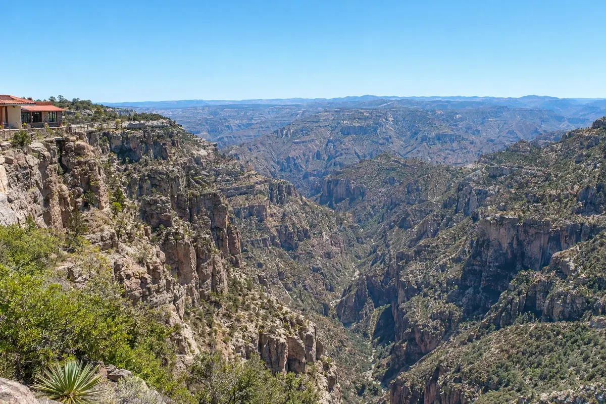
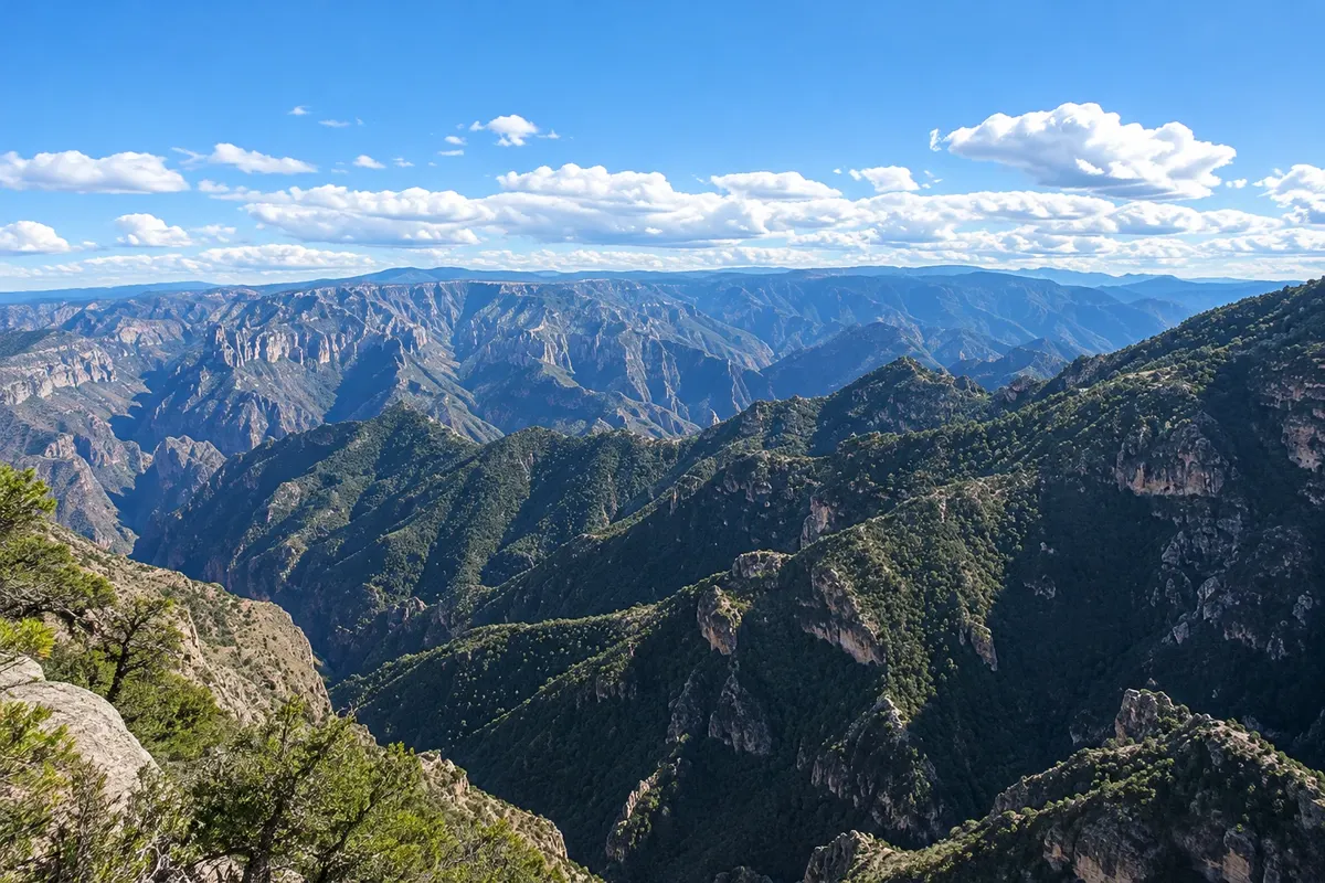
In the photo: Barrancas del Cobre, Divisadero

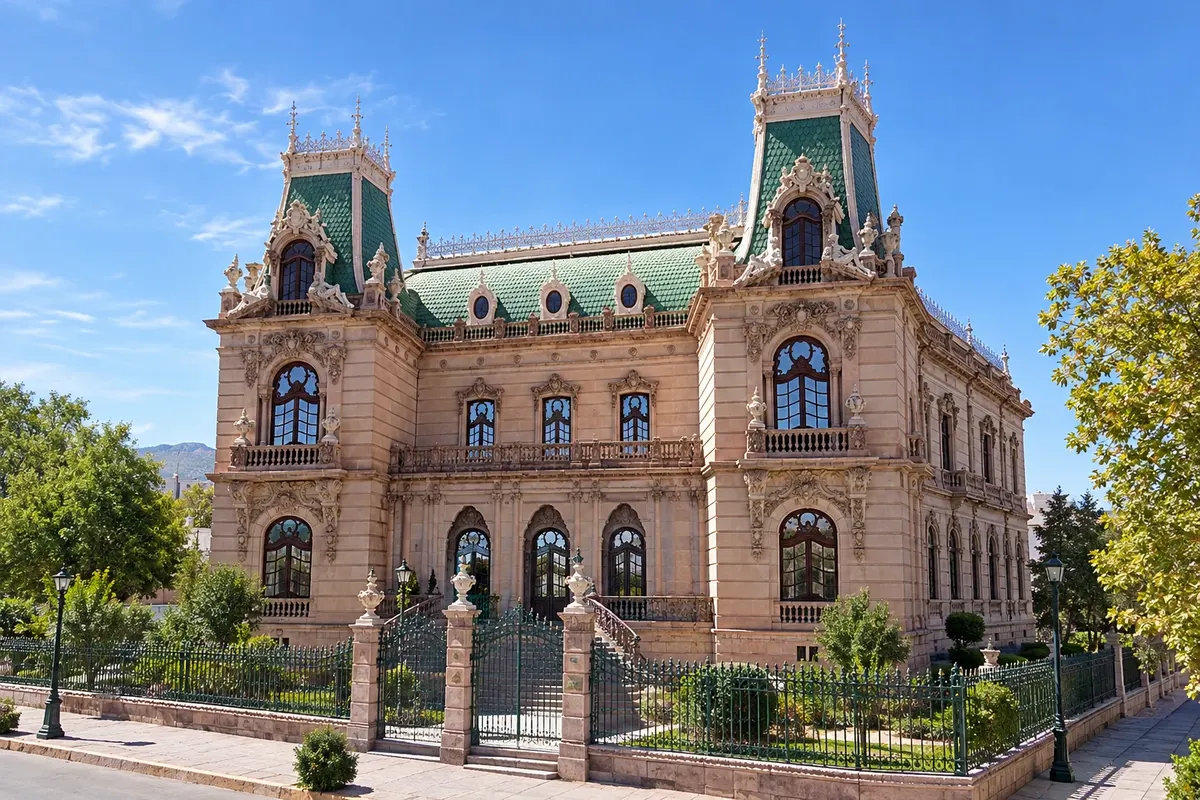
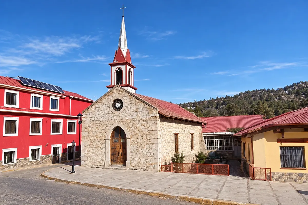
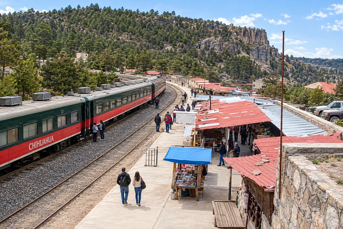
Illustrative images. The pictures in this guide are illustrations based on the real place, not photographs, and may differ from it.

Get it on Google Play Send your photos

Get to know the place

A region to enjoy
at your own pace.

The Barrancas del Cobre are a system of about twenty canyons in the Sierra Tarahumara, in the southwest of the state of Chihuahua, carved by six rivers. Together they cover an area larger than the Grand Canyon in the United States, and some sections exceed 1,800 meters in depth. On the highlands there are pine forests and snowy winters; at the bottom, the climate is almost tropical, with orange and mango trees.

The range is the land of the rarámuris, or tarahumaras, a people known for long-distance running, who live in communities scattered across the canyons and sell straw, wood and textile handicrafts at stations and villages.

The Chihuahua–Pacific train, the Chepe, connects the city of Chihuahua to Los Mochis on the Sinaloa coast over about 650 km, with 86 tunnels and 37 bridges, crossing the range. It’s the classic way to see the region, with stops in Creel and Divisadero, where the best-known viewpoints are, and in El Fuerte, a colonial town already near the Pacific.

The train crosses that time-zone change along the way.

This destination brings together 5 cities: Chihuahua, Creel, Divisadero, El Fuerte, Los Mochis.

Share: WhatsApp
Traveler, share your experiences through photos Up to 5 photos of each place you visited.

One destination, many paths

The cities on this trip

Start with one city or combine several in your itinerary.

Where Barrancas del Cobre is
ChihuahuaDivisaderoCreelEl FuerteLos Mochis

Limites: INEGI / geoBoundaries (CC BY 3.0 IGO). Adaptação do Cidade Turismo.

How to get there: Barrancas del Cobre

✈ Aeropuerto Internacional General Roberto Fierro Villalobos (CUU) · 18 km to Chihuahua

Confirm before purchasing. The trip usually starts at Chihuahua International Airport (CUU), about 18 km from downtown, or ends at Los Mochis (LMM). The Chepe train has two services, the Express (tourist) and the Regional; check departure days and book in advance.

Suggested arrival point: Chihuahua

The local experience

Things to do in Barrancas del Cobre

Catedral de Chihuahua
Chihuahua · Chihuahua · Cathedral

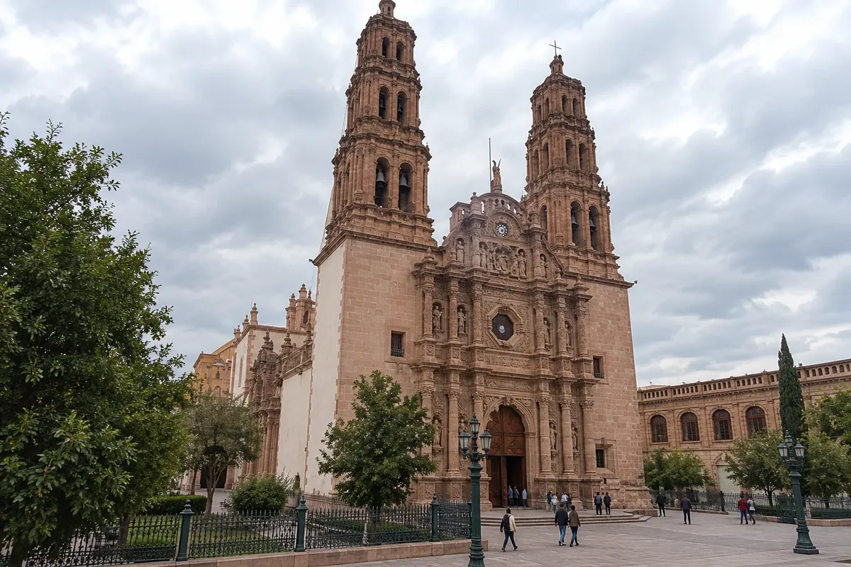
Catedral de Chihuahua

Stone baroque cathedral built between 1725 and 1826, with a façade carved with the twelve apostles, facing the Plaza de Armas.

Jardín Botánico Benjamin Francis Johnston
Los Mochis · Sinaloa · Botanical garden

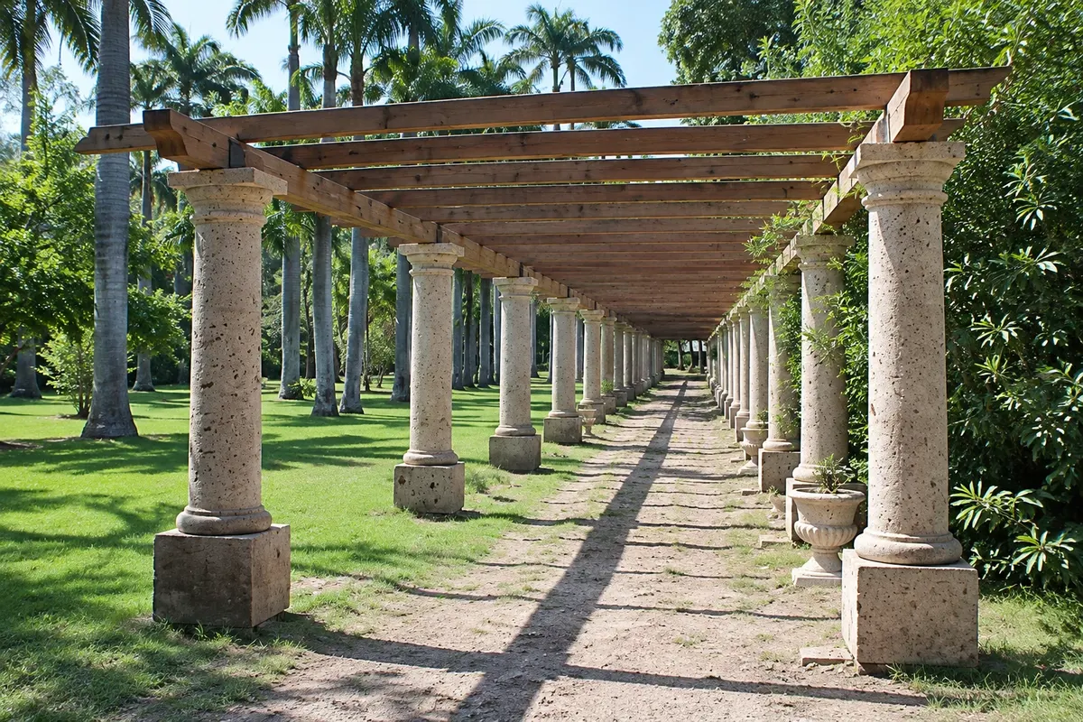
Jardín Botánico Benjamin Francis Johnston

Public botanical garden of about 16 hectares in Parque Sinaloa, created around the former house of the founder of the sugar mill.

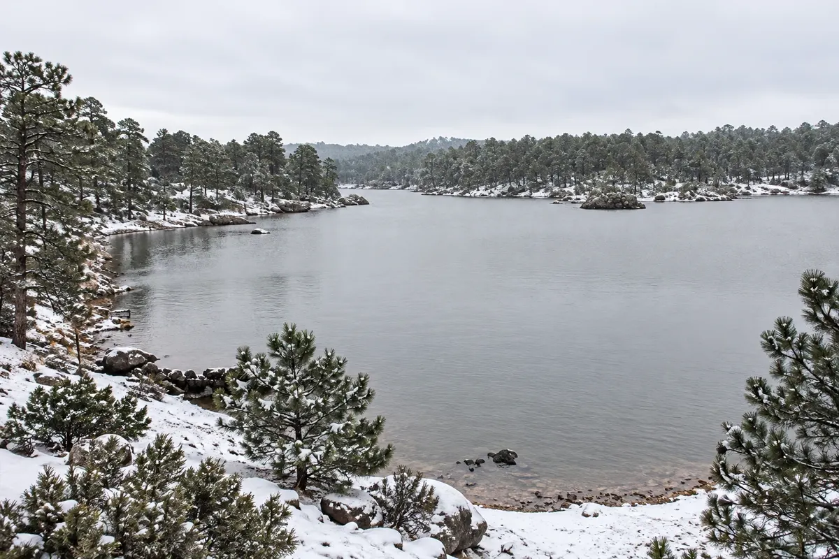
Lago Arareko e Valle de los Hongos
Creel · Chihuahua · Lake and landscape

Lago Arareko e Valle de los Hongos

Lake among pines and valleys of rocks shaped like mushrooms and frogs, on the lands of the Rarámuri community of San Ignacio, near Creel.

Mirador del Divisadero
Divisadero · Chihuahua · Viewpoint

Mirador del Divisadero

Natural viewpoint on the canyon rim, next to the train station, with a view of the meeting of the Cobre, Urique and Tararecua canyons.

See 6 more places in Barrancas del Cobre
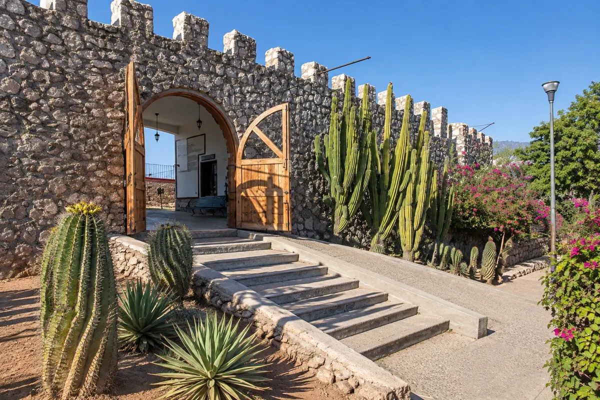
Museo Mirador El Fuerte
El Fuerte · Sinaloa · Museum and lookout

Museo Mirador El Fuerte

Replica of the Spanish fort of 1610 atop the hill, with a regional history museum and views of the Fuerte river.

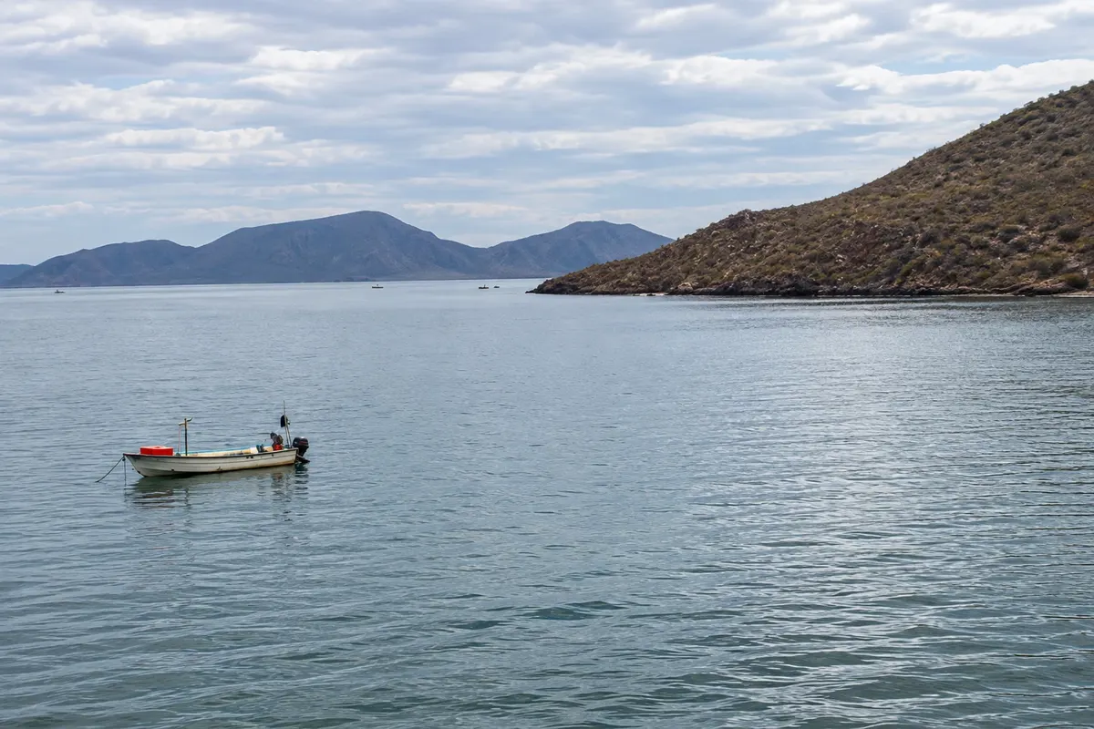
Bahía de Topolobampo
Los Mochis · Sinaloa · Bay

Bahía de Topolobampo

Bay of the Gulf of California about 20 km from Los Mochis, with islands, mangroves, dolphins and the ferry port to La Paz.

Cascada de Cusárare
Creel · Chihuahua · Waterfall

Cascada de Cusárare

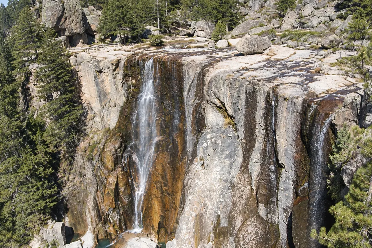
Waterfall of about 30 meters among pines, about 25 km from Creel, with a trail from the village of Cusárare.

Museo Histórico de la Revolución (Quinta Luz)
Chihuahua · Chihuahua · Museum

Museo Histórico de la Revolución (Quinta Luz)

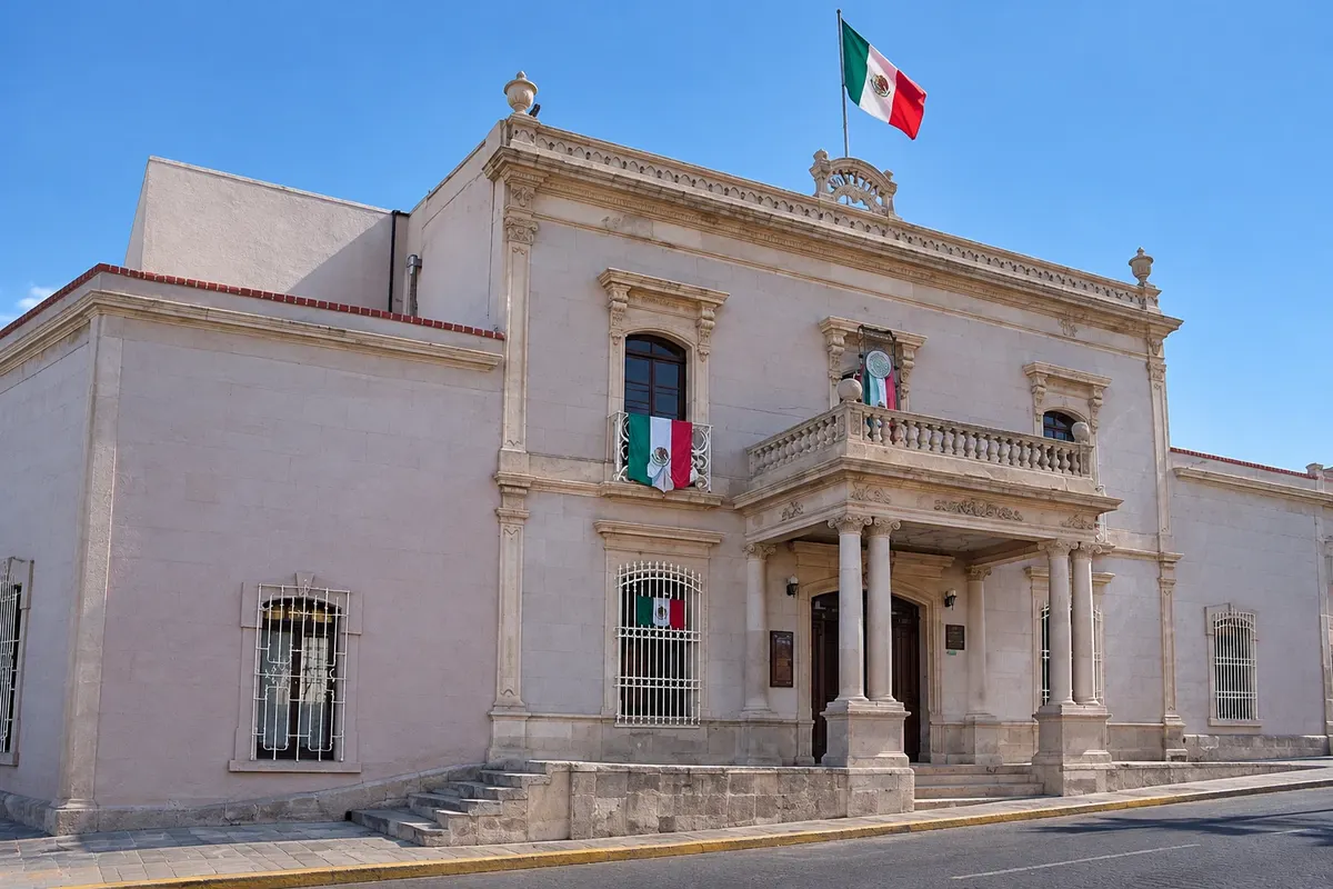
The house where Pancho Villa lived, today a Museum of the Mexican Revolution, with the car in which he was killed.

Plaza de Armas de El Fuerte
El Fuerte · Sinaloa · Historic center

Plaza de Armas de El Fuerte

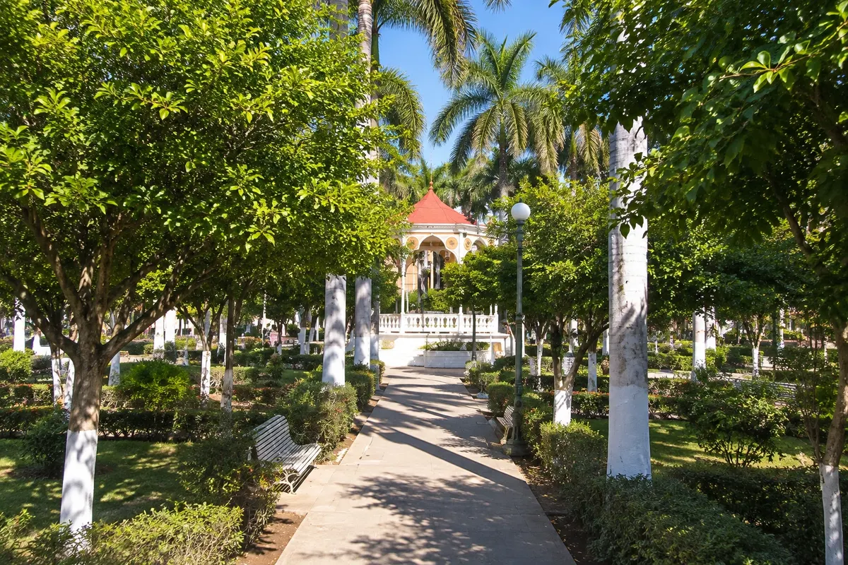
The colonial square with a bandstand, surrounded by the arcaded municipal palace, the Church of the Sacred Heart and colonial mansions.

Palacio de Gobierno de Chihuahua
Chihuahua · Chihuahua · Palace and murals

Palacio de Gobierno de Chihuahua

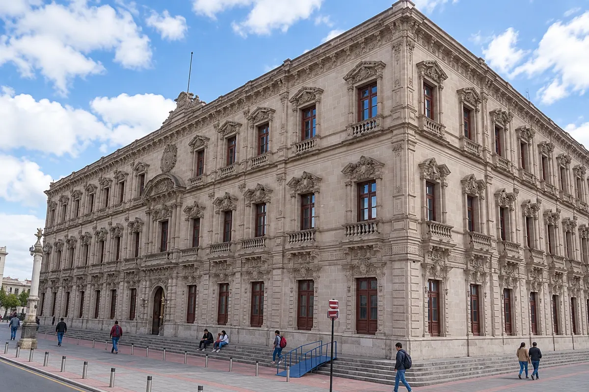
19th-century palace with murals by Aarón Piña Mora about the state’s history and the Altar of the Homeland, on the site where the priest Hidalgo was executed.

Before you go

Practical information

A little planning leaves more time to enjoy the journey.

When to go

October, November, March and April have sunny days and mild temperatures on the highlands. From December to February the nights are very cold and it can snow in Creel. From July to September the rains make the canyons green and the waterfalls full.

The seasons shown are the most usual ones; nature doesn't always follow the calendar.

How many days to stay

Six days allow a relaxed crossing: one in Chihuahua, two in Creel, one in Divisadero and one in El Fuerte, ending in Los Mochis. With four days you do only the most sought-after train segment, between El Fuerte and Creel.

Which city to stay in

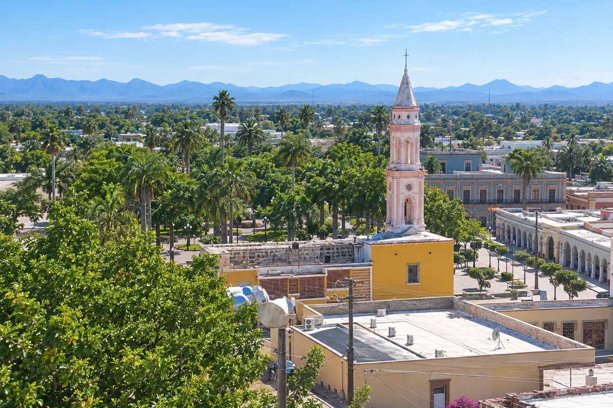
In Chihuahua, the downtown has hotels near the cathedral. In Creel, inns and cabins near the station. In Divisadero, hotels on the canyon edge with a view. In El Fuerte, hotels in colonial mansions. In Los Mochis, hotels in the center, near the train departure.

Respect the place

Take your trash with you, follow the signs and support local businesses. In natural areas, follow the visiting guidelines.

Get your questions answered

Frequently asked questions about Barrancas del Cobre

question

answer

question

answer

question

answer

question

answer

question

answer

Explore other destinations Search by state and city