
 Brazil
 Argentina
 Bolivia
 Chile
 Colombia
 Ecuador
 Guyana
 French Guiana
 Falkland Islands (Malvinas)
 Paraguay
 Peru
 Suriname
 Uruguay
 Venezuela
 Germany
 Austria
 Belgium
 Croatia
 Denmark
 Finland
 France
 Greece
 the Netherlands
 Hungary
 Ireland
 Iceland
 Italy
 Luxembourg
 Norway
 Poland
 the United Kingdom
 the Czech Republic
 Sweden
 Switzerland
 Turkey
 the United States
 Mexico
 the Dominican Republic
 South Africa
 Australia
 Fiji
Cross-border route · Europe
Caminho Português da Costa on foot
The Camino de Santiago along the Atlantic: from Porto to Galícia along the coast, via Vila do Conde, Viana do Castelo, A Guarda, Baiona and Vigo, to the cathedral of Santiago.
 Portugal
 Spain
8 cities 2 countries
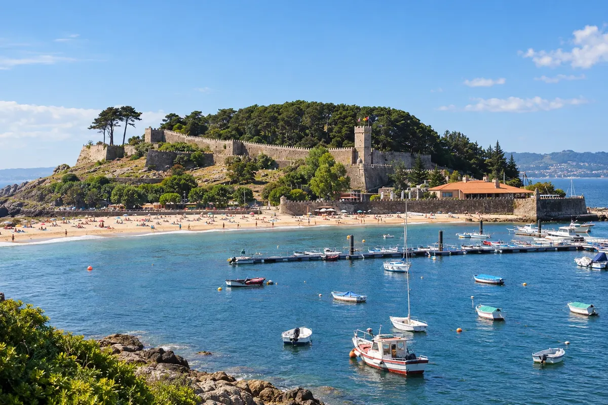
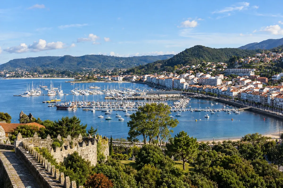
In the photo: Fortaleza de Monterreal, Baiona
Illustrative images. The pictures in this guide are illustrations based on the real place, not photographs, and may differ from it.

The route
What is Caminho Português da Costa on foot
The Caminho Português da Costa starts in Porto and heads north near the sea, along beaches, wooden boardwalks, fishing villages and towns such as Vila do Conde and Viana do Castelo. It crosses the Minho river between Caminha and A Guarda, already in Galícia, and continues along the coast to Baiona and Vigo. In Redondela, a little before Pontevedra, it joins the Caminho Português central and continues with it to Santiago de Compostela. It's about 273 km, in 12 to 13 stages.
The difference from the Caminho Português central is in the first half. The central route leaves Porto inland, via Barcelos, Ponte de Lima and the Serra da Labruja, and enters Spain via Valença and Tui, with more hostels and more pilgrims. The coastal route is almost entirely flat, has the sea beside it for much of the way and passes through larger towns, but has longer stages and some paved sections. From Redondela onward the two routes are the same.
The route is waymarked with yellow arrows and the scallop shell. Those seeking the Compostela, the pilgrimage certificate, must walk at least the last 100 km: along the coast the minimum starting point is Baiona.
The map
8 cities in 2 countries
Outlines: Natural Earth, public domain. Adapted by Cidade Turismo.
The journey
City by city
Distances and times are approximate: check before you set out.
-
 1 · Portugal
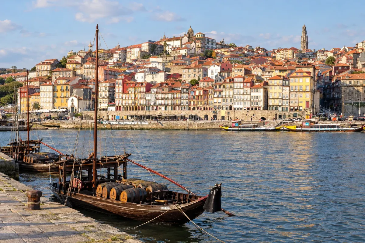
Porto
The route begins at the Sé do Porto, where many pilgrims get their credential and the first stamp. The departure follows the Douro river to the Foz and then the Matosinhos waterfront, already on the Atlantic shore.
→ Vila do Conde about 34 km 1 a 2 dias a pé Pela Foz do Douro, Matosinhos e os passadiços de madeira entre as dunas. A etapa até a Póvoa de Varzim tem cerca de 37 km; muitos dividem em duas ou encurtam de metrô na saída do Porto.
-
 2 · Portugal
Vila do Conde
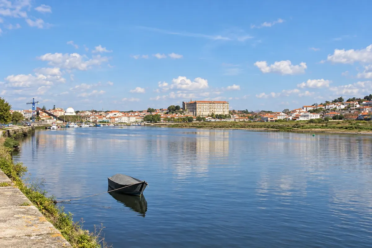
After the wooden boardwalks among the dunes, the route reaches Vila do Conde, on the banks of the Ave river, with the monastery of Santa Clara on the hill and a replica of a Discoveries-era carrack on the quay. Next to it is Póvoa de Varzim, a beach town. Then comes Esposende, between the sea and the Cávado river.
→ Viana do Castelo about 48 km cerca de 2 dias a pé Póvoa de Varzim–Esposende (cerca de 21 km) e Esposende–Viana do Castelo (cerca de 24 km), entre praias, pinhais e aldeias.
-
 3 · Portugal
Viana do Castelo
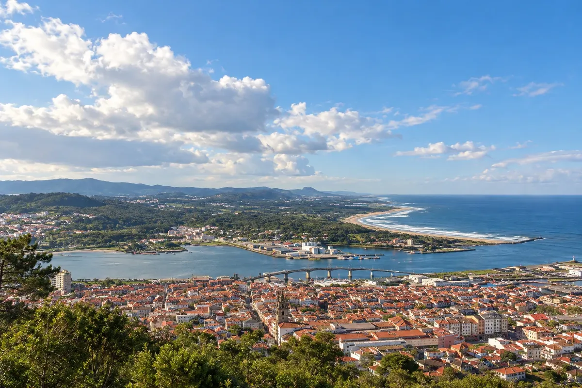
Viana do Castelo sits at the mouth of the Lima river, with the iron bridge, Praça da República and the sanctuary of Santa Luzia atop the hill. After Viana, the route follows the coast via Vila Praia de Âncora to Caminha, at the mouth of the Minho.
→ A Guarda about 38 km cerca de 2 dias a pé Viana do Castelo–Vila Praia de Âncora (cerca de 19 km) e Vila Praia de Âncora–A Guarda (cerca de 19 km), por Caminha e a travessia do rio Minho.
-
 4 · Spain
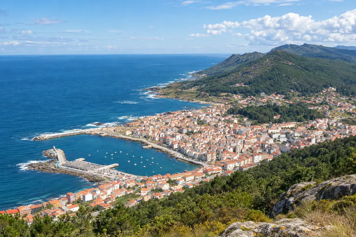
A Guarda
The crossing of the Minho river, from Caminha into Galícia, is usually done by boat or water taxi. A Guarda is a fishing village with the Monte de Santa Tegra, where there are ruins of a castro settlement and views over the river mouth. From here the route continues along the open coast, passing the monastery of Oia.
→ Baiona about 31 km cerca de 1 dia a pé A Guarda–Baiona (cerca de 31 km), pela costa aberta, passando pelo mosteiro de Oia. Etapa longa e com poucos serviços em alguns trechos.
-
 5 · Spain
Baiona
Baiona lies in a bay facing the Cíes Islands, with the Fortaleza de Monterreal on the tip of the peninsula and a replica of the caravel Pinta, which brought the news of Columbus's arrival in the Americas. It is the minimum coastal starting point for those seeking the Compostela.
→ Vigo about 23 km cerca de 1 dia a pé Baiona–Vigo (cerca de 23 km), por Nigrán e pela orla da ria de Vigo.
-
 6 · Spain
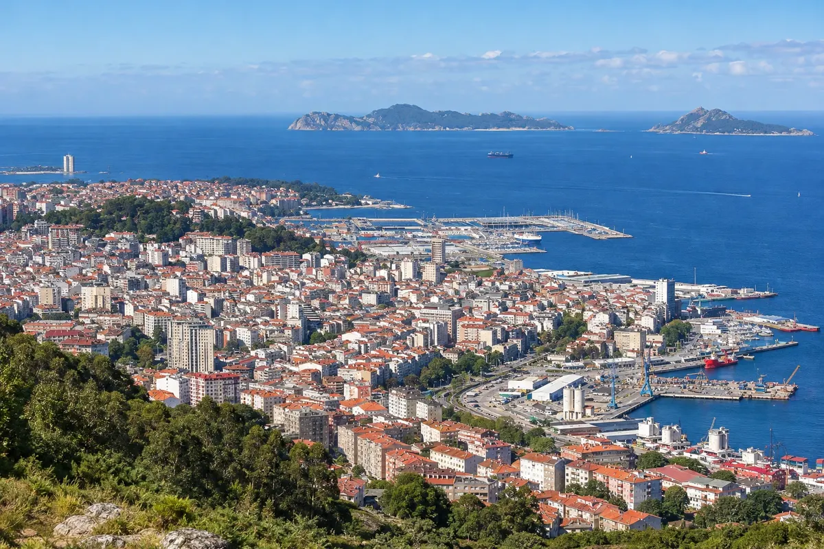
Vigo
Vigo is the largest Galician city, with its port, the old quarter Casco Vello and Monte do Castro. After Vigo, the route follows the ria to Redondela, where it joins the Caminho Português central, and then via Arcade to Pontevedra.
→ Pontevedra about 35 km cerca de 2 dias a pé Vigo–Arcade (cerca de 23 km, por Redondela, onde o caminho se junta ao central) e Arcade–Pontevedra (cerca de 12 km).
-
 7 · Spain
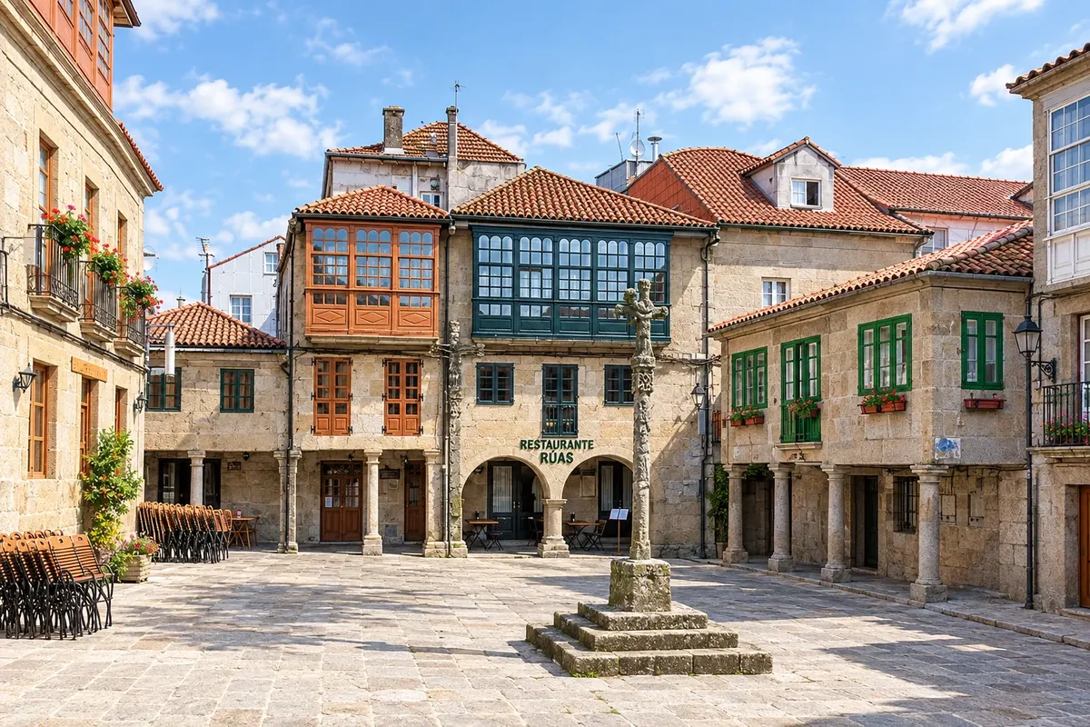
Pontevedra
Pontevedra has a historic stone center, with squares and the church of the Virgen Peregrina, shaped like a scallop shell. It is the first town after the junction with the central route. From here come Caldas de Reis and Padrón.
→ Santiago de Compostela about 64 km cerca de 3 dias a pé Pontevedra–Caldas de Reis (cerca de 21 km), Caldas de Reis–Padrón (cerca de 19 km) e Padrón–Santiago (cerca de 24 km), o mesmo traçado do Caminho central.
-
 8 · Spain
Santiago de Compostela
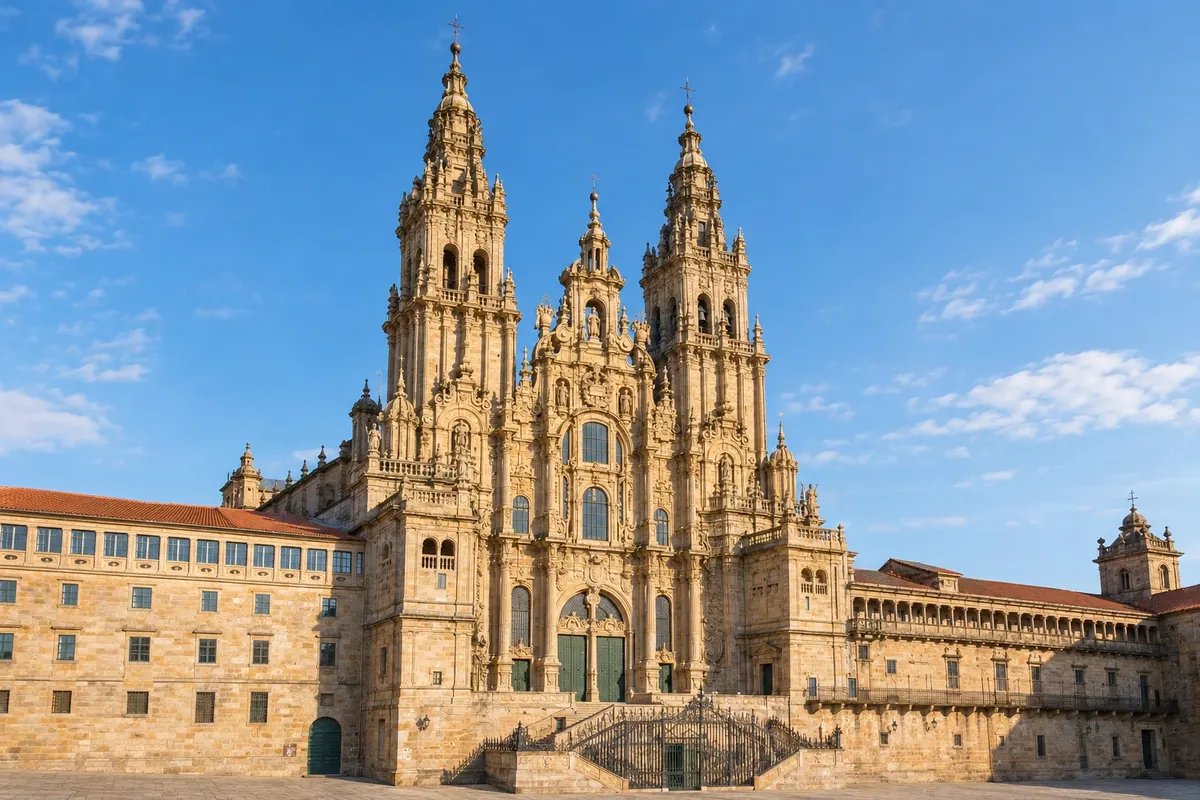
The arrival is at the Praza do Obradoiro, in front of the cathedral. The Pilgrim's Office, near the cathedral, issues the Compostela.
How to travel
The way and the tickets
On foot, following the yellow arrows, carrying your backpack or using a luggage transfer service between stages. Stages range from 12 to 37 km; the longest ones can be split. On leaving Porto, many take the metro to Matosinhos or Vila do Conde to avoid the urban section.
Best time to go
When to go: month by month
From May to June and in September: long days and pleasant temperatures for walking by the sea. July and August are busier and hotter on exposed stages, though the Atlantic breeze helps. From November to March it rains a lot in the Minho and in Galícia, and some hostels close.
The seasons shown are the most usual ones; nature doesn't always follow the calendar.
Planning
Planning the trip
How many days
From Porto to Santiago, 12 to 13 days of walking. From Baiona, about 5 to 6 days, the minimum for the Compostela. Allow an extra day in Santiago on arrival.
Who it is for
For those who want to do the Camino de Santiago close to the sea with mostly flat stages; for those who have already done the Caminho Português central and want a different route; and for those who like stopping at beaches and fishing villages.
Your questions answered
Frequently asked questions about Caminho Português da Costa on foot
Qual a diferença entre o Caminho Português da Costa e o central?
Os dois saem do Porto e se juntam em Redondela. O central vai pelo interior, por Barcelos, Ponte de Lima e Tui, com mais albergues e uma serra no caminho. O da Costa segue o mar, é mais plano, passa por Vila do Conde, Viana do Castelo, Baiona e Vigo e tem cerca de 30 km a mais.
Onde começar para ter a Compostela?
Pela costa, em Baiona ou antes. De Vigo a Santiago são cerca de 99 km, um pouco menos que os 100 km pedidos pela Oficina do Peregrino. Confirme as regras no site da Oficina antes de sair.
Como se atravessa o rio Minho?
Entre Caminha e A Guarda, de barco ou de táxi-barco, que dependem da maré e da época. Quando não funcionam, dá para ir de táxi pela ponte. Confirme antes no albergue ou no posto de turismo de Caminha.
Existe outra variante pela costa?
Sim. Há também a Senda Litoral, que segue ainda mais perto do mar em parte do trajeto, e a Variante Espiritual, entre Pontevedra e Padrón, com um trecho de barco pela ria de Arousa. As setas mostram onde cada uma sai.
Precisa reservar os albergues?
Os albergues públicos costumam funcionar por ordem de chegada, sem reserva, e só para quem tem credencial. No trecho português da costa há menos albergues que no central; no verão, reserve os privados.
Precisa mostrar passaporte entre Portugal e a Espanha?
Os dois países estão no espaço Schengen e não há controle fixo de fronteira. Leve o passaporte com você durante todo o caminho.