

 Brazil
 Argentina
 Bolivia
 Chile
 Colombia
 Ecuador
 Guyana
 French Guiana
 Falkland Islands (Malvinas)
 Paraguay
 Peru
 Suriname
 Uruguay
 Venezuela
 Germany
 Austria
 Belgium
 Croatia
 Denmark
 Spain
 Finland
 France
 Greece
 the Netherlands
 Hungary
 Ireland
 Iceland
 Italy
 Luxembourg
 Norway
 Poland
 Portugal
 the United Kingdom
 the Czech Republic
 Sweden
 Switzerland
 Turkey
 Mexico
 the Dominican Republic
 South Africa
 Fiji
Before you go
Your trip to Big Sur.
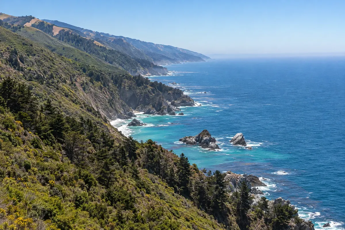
Illustrative images. The pictures in this guide are illustrations based on the real place, not photographs, and may differ from it.

Big Sur – Califórnia Destination Monterey and Big Sur
How to get there
-
Monterey Regional Airport (MRY) Monterey · 45 km
Approximate road distances. Check flights and bus schedules before you travel.
From Monterey and Carmel, head south on Highway 1 only on open sections; confirm route conditions before departing.
How many days
One or two days for selected stops and walks, without assuming a full coastal crossing.
When to go
In Big Sur, the periods April to June and September to October usually have mild conditions for the outdoor circuit; between November and March, consider the possibility of rain when planning the coast.
The seasons shown are the most usual ones; nature doesn't always follow the calendar.
Do you need a car?
A car services the distant sectors; cell coverage can fail and it's advisable to download maps before starting.
Suggested itinerary
An order that works
Built with the places on this page. No rush: it's paced so you have time to see them.
One day in Big Sur
-
Morning
Bixby Creek Bridge
Devote the start of the itinerary to Bixby Creek Bridge. Prioritize the main part of the visit and arrival timing, leaving a break before continuing into Big Sur.
-
Afternoon
Pfeiffer Big Sur State Park
After the break, head to Pfeiffer Big Sur State Park. Check access and explore the place without turning the Big Sur afternoon into a string of drives.
-
Late afternoon
Return via the Bixby Creek Bridge sector
Finish walks in the part of Big Sur already visited and return to lodging before planning another trip. Light and weather can alter the duration of this stage.
-
Evening
Evening free in Big Sur
Dine near your base in Big Sur and keep the evening free to rest after the route through Bixby Creek Bridge and Pfeiffer Big Sur State Park.
Check before you go. Opening hours and days change, and places may close for renovations, holidays or events. This itinerary is a suggestion from Cidade Turismo, not a commitment: plan yours by checking directly with each place you intend to visit.
Before you go
Frequently asked questions
How to reach Big Sur and begin the visit?
Highway 1 should only be included in the plan on open stretches.
How many days to allocate for Big Sur?
One or two days cover a selection of stops and trails.
How to get around during a stay in Big Sur?
Distances between access points make a car necessary.
Is Big Sur a town with a compact center?
No. The name denotes a large region, with services and access points separated along the coast; the entry uses the Big Sur River core as a reference.