
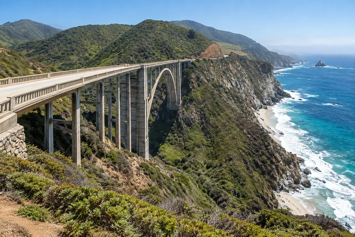
Bridge and viewpoint
Bixby Creek Bridge
Bridge and viewpoint on the Big Sur itinerary: Bixby Creek Bridge crosses a coastal valley in northern Big Sur

 the United States
 Brazil
 Argentina
 Bolivia
 Chile
 Colombia
 Ecuador
 Guyana
 French Guiana
 Falkland Islands (Malvinas)
 Paraguay
 Peru
 Suriname
 Uruguay
 Venezuela
 Germany
 Austria
 Belgium
 Croatia
 Denmark
 Spain
 Finland
 France
 Greece
 the Netherlands
 Hungary
 Ireland
 Iceland
 Italy
 Luxembourg
 Norway
 Poland
 Portugal
 the United Kingdom
 the Czech Republic
 Sweden
 Switzerland
 Turkeythe United States
 Mexico
 the Dominican Republic
 South Africa
 Fiji
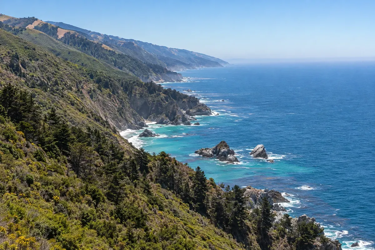
Califórnia · the United States
In the destination Monterey and Big Sur.
In the photo: Big Sur coastline
Illustrative images. The pictures in this guide are illustrations based on the real place, not photographs, and may differ from it.
The city
Big Sur is a coastal region of cliffs, valleys and forests along Highway 1. Bixby Creek Bridge and Pfeiffer Big Sur State Park represent distinct landscapes, and the itinerary depends on road access and open trails.
There's no accommodation in the guide yet in Big Sur.
There are no restaurants in the guide yet in Big Sur.
Know a good one? Recommend it to ushow to get there · how many days · itinerary · questions
The local experience
Bridge and viewpoint on the Big Sur itinerary: Bixby Creek Bridge crosses a coastal valley in northern Big Sur
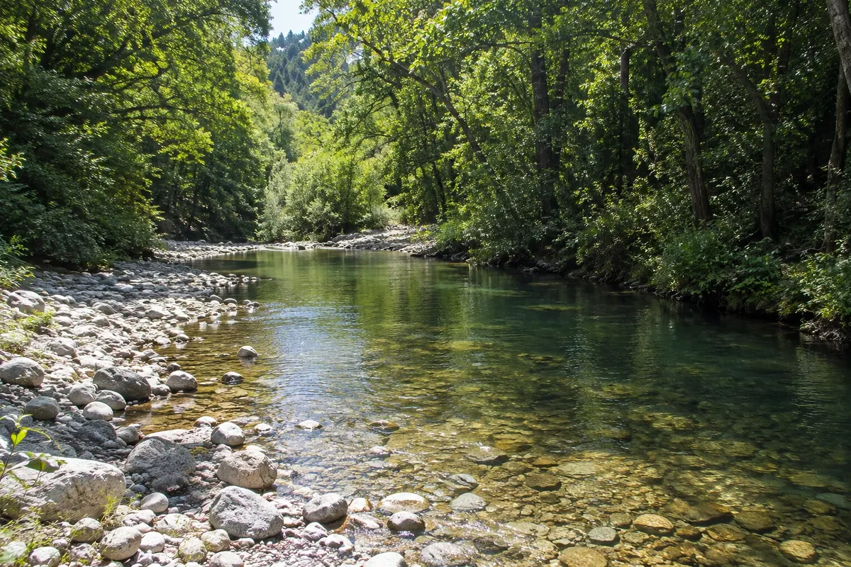
State park on the Big Sur itinerary: Pfeiffer Big Sur State Park protects environments of the Big Sur River and woodlands in the interior of the valley, set back from the cliff edge.