Monterey
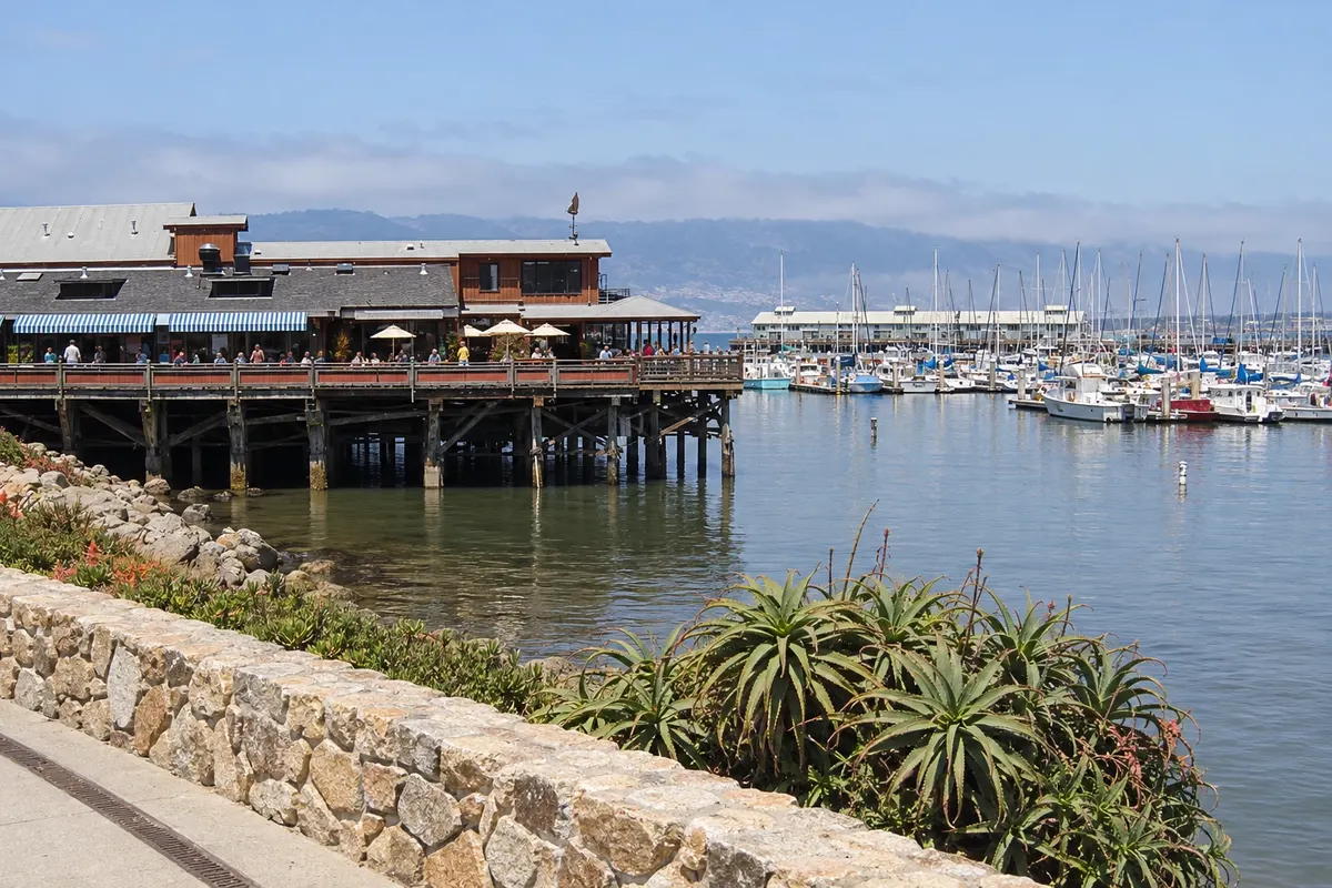
Monterey sits on a peninsula of California’s central coast. The Monterey Bay Aquarium, Monterey State Historic Park and the waterfront paths showcase marine life, history and coastal scenery in complementary circuits.
Califórnia · the United States
Aquarium, coastal heritage and the paths of Carmel, with Bixby Bridge and the accessible sections of Big Sur.
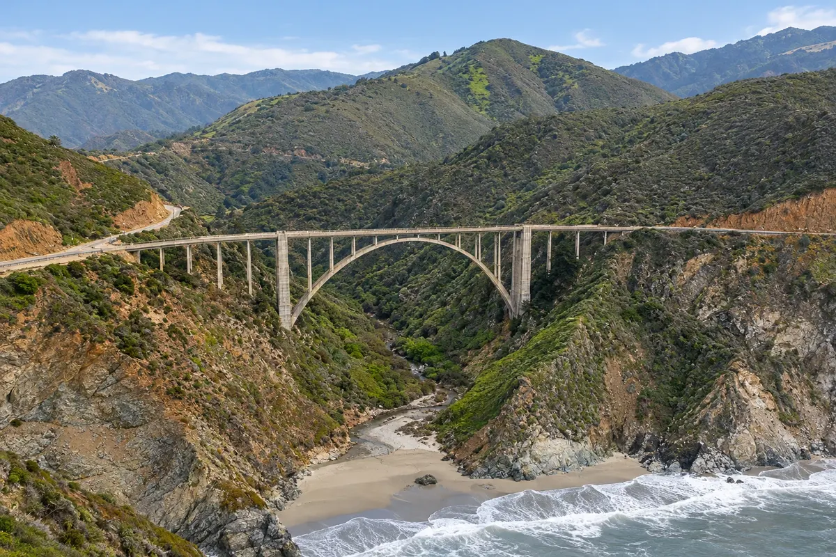
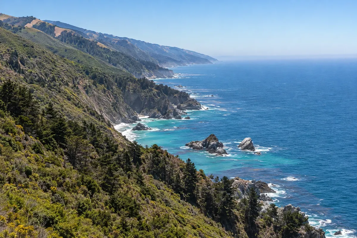
In the photo: Bixby Creek Bridge, Big Sur
Illustrative images. The pictures in this guide are illustrations based on the real place, not photographs, and may differ from it.
Get to know the place
Monterey and Carmel occupy a jagged coastal peninsula, with museums, beaches and sea-watching areas. The Monterey Bay Aquarium requires its own dedicated visit; Carmel-by-the-Sea offers an urban walk and access to coastal scenery.
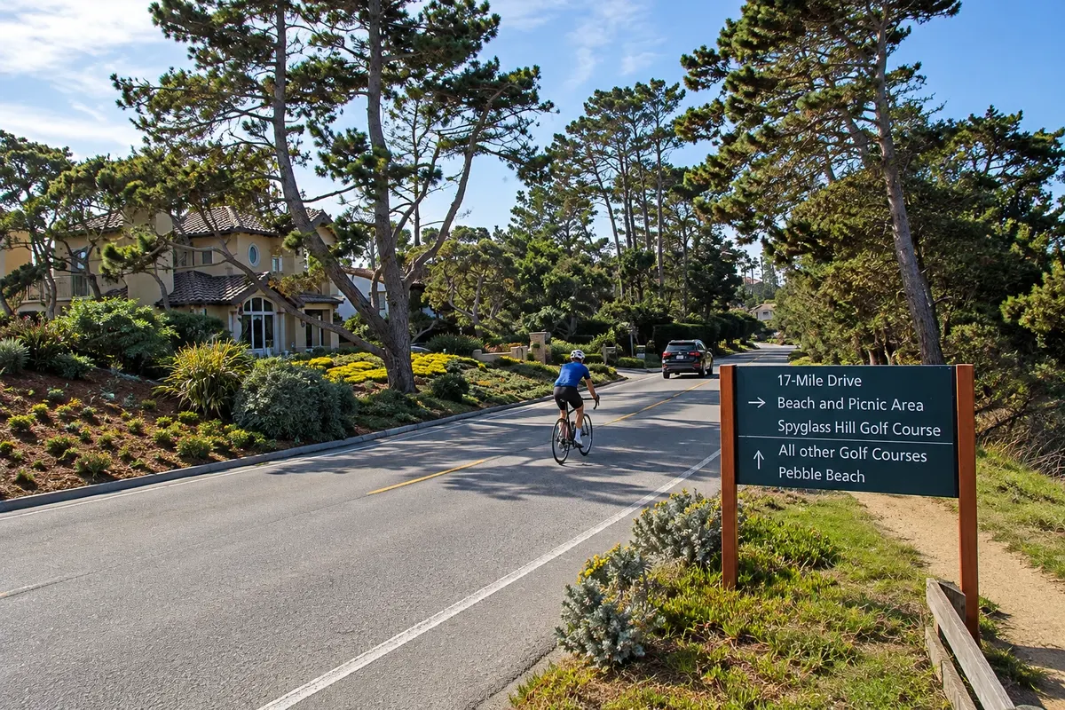
The 17-Mile Drive provides a loop of viewpoints on the peninsula, while Point Lobos requires trails and attention to visitor capacity. Further south, Big Sur is a region of mountains, forest and cliffs, not a single town center.
Highway 1 has sections subject to closures and restrictions, so the itinerary should follow conditions confirmed close to travel. Bixby Bridge and parks with open access do not authorize entering closed trails. It’s worth spending the night between Monterey and Carmel before continuing down the coast, rather than trying to cover all stops in one pass.
This destination brings together 3 cities: Monterey, Carmel-by-the-Sea, Big Sur.
One destination, many paths
Start with one city or combine several in your itinerary.
Limites: U.S. Census Bureau / geoBoundaries (domínio público). Adaptação do Cidade Turismo.
✈ Monterey Regional Airport (MRY), in Monterey · 6 km to Monterey
Confirm before booking. MRY is the regional arrival; San Francisco offers more flight options. Drive to Monterey and check conditions before continuing on Highway 1.
Suggested arrival point: Monterey
Monterey sits on a peninsula of California’s central coast. The Monterey Bay Aquarium, Monterey State Historic Park and the waterfront paths showcase marine life, history and coastal scenery in complementary circuits.
Carmel-by-the-Sea has low-scale streets, a beach at the end of Ocean Avenue and the Carmel Mission. Point Lobos lies to the south and offers another coastal hiking stage, with limited access and parking.
Big Sur is a coastal region of cliffs, valleys and forests along Highway 1. Bixby Creek Bridge and Pfeiffer Big Sur State Park represent distinct landscapes, and the itinerary depends on road access and open trails.
The local experience
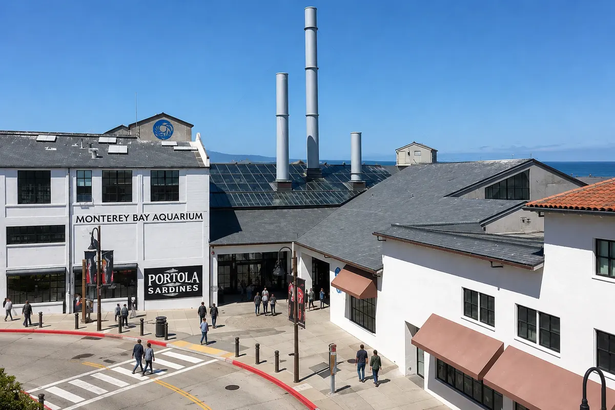
Aquarium on the Monterey itinerary: Monterey Bay Aquarium occupies the former cannery district along Monterey Bay
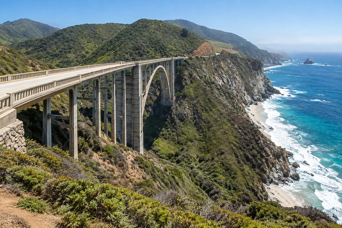
Bridge and viewpoint on the Big Sur itinerary: Bixby Creek Bridge crosses a coastal valley in northern Big Sur
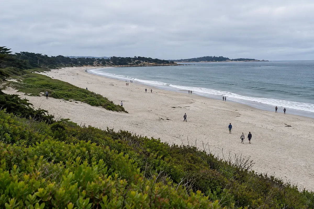
Beach on the Carmel-by-the-Sea itinerary: Carmel Beach is at the end of Ocean Avenue, adjacent to Carmel-by-the-Sea’s center
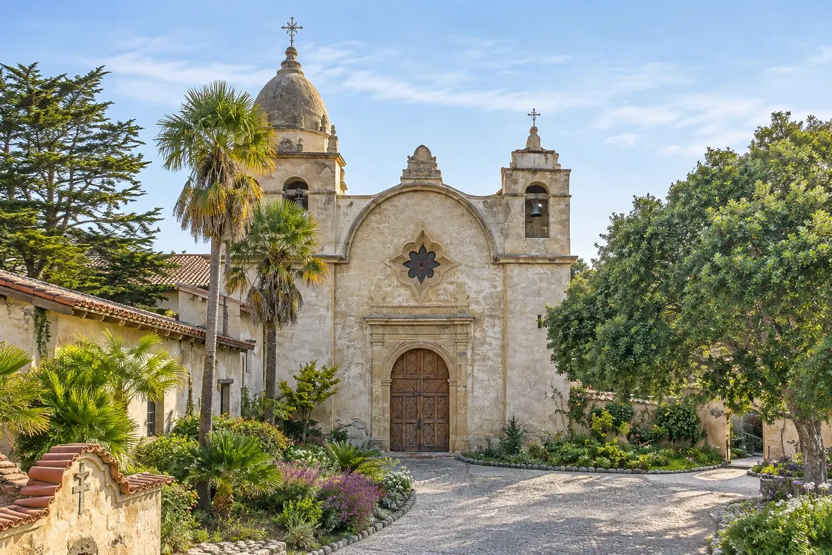
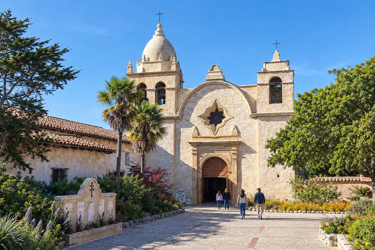
Historic heritage on the Carmel-by-the-Sea itinerary: Carmel Mission Basilica Museum brings together a church, courtyards and exhibits related to the history of California’s missions
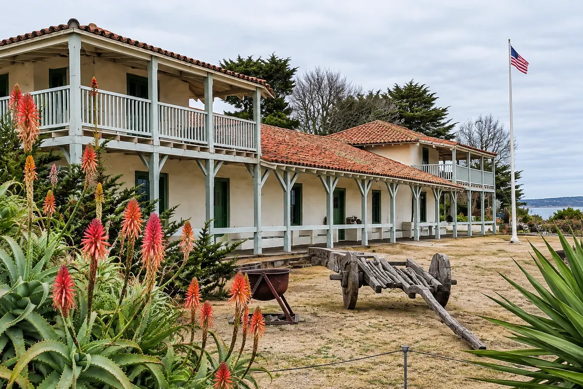
Historic complex on the Monterey itinerary: Monterey State Historic Park preserves buildings and sites tied to Monterey’s history, spread across downtown
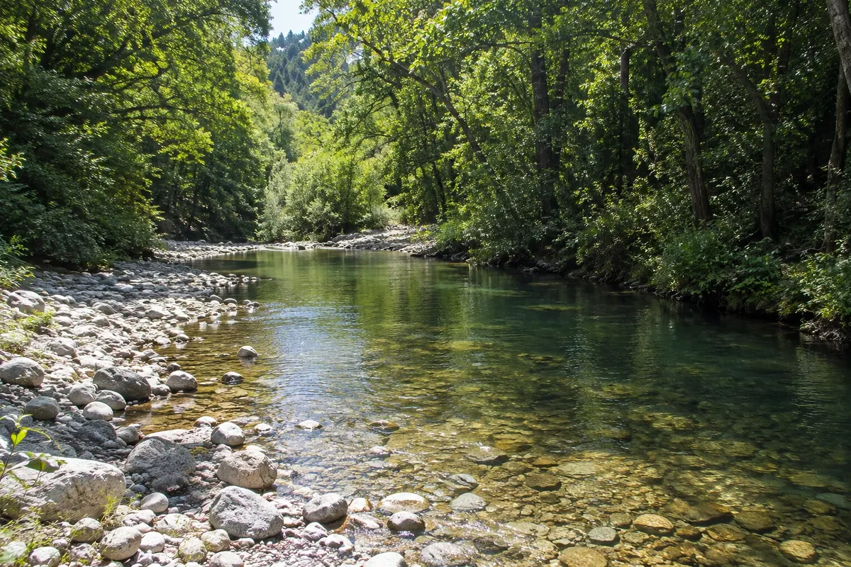
State park on the Big Sur itinerary: Pfeiffer Big Sur State Park protects environments of the Big Sur River and woodlands in the interior of the valley, set back from the cliff edge.
Scenic drive on the Monterey itinerary: 17-Mile Drive runs observation points along the peninsula between Monterey and Carmel
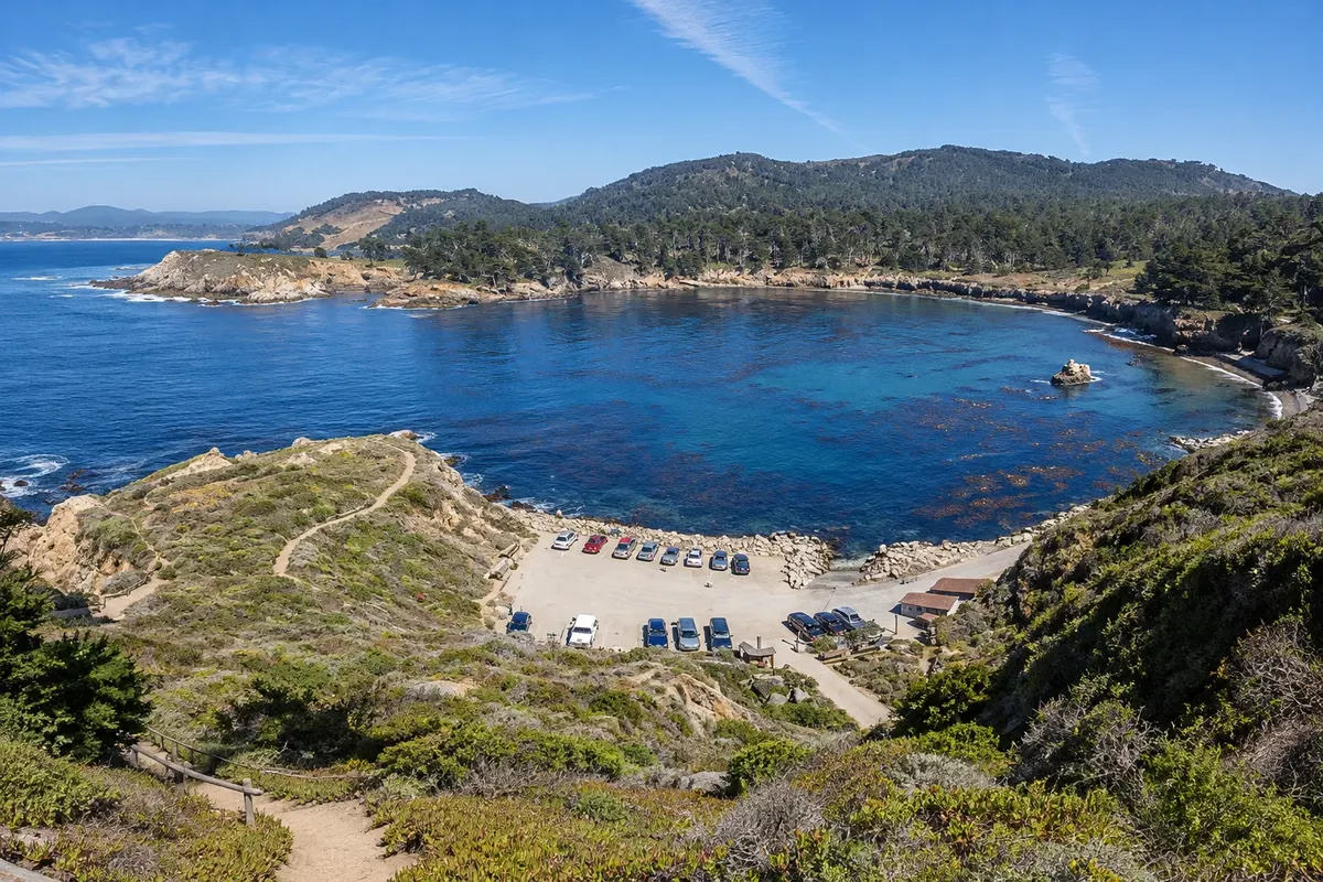
Coastal reserve on the Carmel-by-the-Sea itinerary: Point Lobos State Natural Reserve protects a coast of coves, rocks and woods south of Carmel
Before you go
A little planning leaves more time to enjoy the journey.
April to June and September to October generally favor coastal walks. Fog and wind can occur in summer; between November and March, rain and road conditions affect the circuit.
The seasons shown are the most usual ones; nature doesn't always follow the calendar.
Three to five days for the aquarium, Carmel, Point Lobos and the public sections of Big Sur.
Monterey facilitates the aquarium and services; Carmel offers a walkable base near the beach. In Big Sur, compare distances and road access before booking.
Take your trash with you, follow the signs and support local businesses. In natural areas, follow the visiting guidelines.
Get your questions answered
MRY is the regional airport; those arriving via San Francisco continue by car.
Three to five days allow selecting coast, aquarium and walks without rush.
April to June and September to October usually favor the coastal circuit, with the possibility of wind and fog.
A car is useful between sectors, but in parks and towns the visit continues on foot.
The route combines with San Francisco and a continuation south only if the chosen driving segment is open.