

 Brazil
 Argentina
 Bolivia
 Chile
 Colombia
 Ecuador
 Guyana
 French Guiana
 Falkland Islands (Malvinas)
 Paraguay
 Peru
 Suriname
 Uruguay
 Venezuela
 Germany
 Austria
 Belgium
 Croatia
 Spain
 Finland
 France
 Greece
 the Netherlands
 Hungary
 Ireland
 Iceland
 Italy
 Luxembourg
 Norway
 Poland
 Portugal
 the United Kingdom
 the Czech Republic
 Sweden
 Switzerland
 Turkey
 the United States
 Mexico
 the Dominican Republic
 South Africa
 Australia
 Fiji
Natural landscape · Stege, Zeeland
Møns Klint
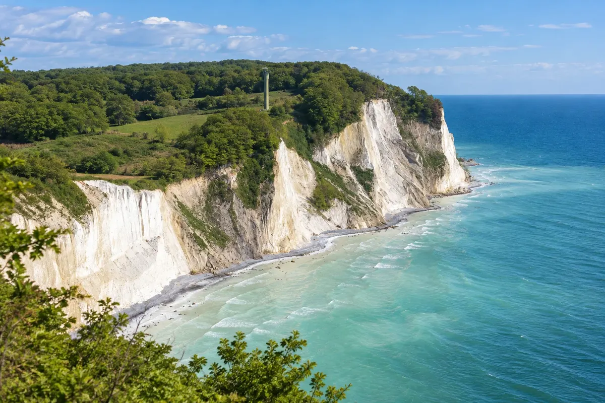
White cliffs on Møn's east coast, with forest on the top, viewpoints and stairways down to the Baltic beach.
Illustrative images. The pictures in this guide are illustrations based on the real place, not photographs, and may differ from it.

Discover
About Møns Klint
Møns Klint occupies the eastern coast of the island of Møn. The pale cliff is made of chalk, a rock of marine origin. The layers were deformed by glacial action, and the contrast with the forest and the Baltic helps identify the site.
The outing can stay on the upper paths, among trees and viewpoints, or include the descent to the beach via stairways. These are different experiences: the walk on the top shows the coastline line, while the beach lets you observe the base of the cliffs. The return requires climbing the same elevation changes.
The GeoCenter sits by the main access and complements the landscape with explanations about geology. To plan the day, choose the trail section before leaving Stege and allow time for the return. The upper boardwalk offers an alternative to the stairways.
Before you go
Practical information
Cidade Turismo reviews its information regularly, but something may have changed. Check with the place before planning your trip.
How much time to set aside
Two to four hours, depending on the trail and the descent.
Best time
From May to September there is usually more daylight for walking; the route varies with ground conditions.
How to get there
From Stege, head east on the island toward the GeoCenter access. The bus may require a walk and runs according to the local timetable.
Tip
Choose between upper viewpoints and the beach according to available time; use the trail map and marked accesses.
Official website
Get your questions answered
Frequently asked questions about Møns Klint
Do you need to go down to the beach?
No. The viewpoints and the boardwalk at the top allow you to observe the coast without descending the whole stairway.
How much time should you set aside for the cliffs?
Allow at least two hours for the viewpoints; the descent and a longer walk require more time.
Can it be combined with the GeoCenter?
Yes. The interpretation center is located next to the main trail access and helps explain the formation of the chalk.