

 Brazil
 Argentina
 Bolivia
 Chile
 Colombia
 Ecuador
 Guyana
 French Guiana
 Falkland Islands (Malvinas)
 Paraguay
 Peru
 Suriname
 Uruguay
 Venezuela
 Germany
 Austria
 Belgium
 Croatia
 Denmark
 Spain
 Finland
 France
 Greece
 the Netherlands
 Hungary
 Ireland
 Iceland
 Italy
 Luxembourg
 Norway
 Poland
 Portugal
 the United Kingdom
 the Czech Republic
 Sweden
 Switzerland
 Turkey
 the Dominican Republic
 South Africa
 Fiji
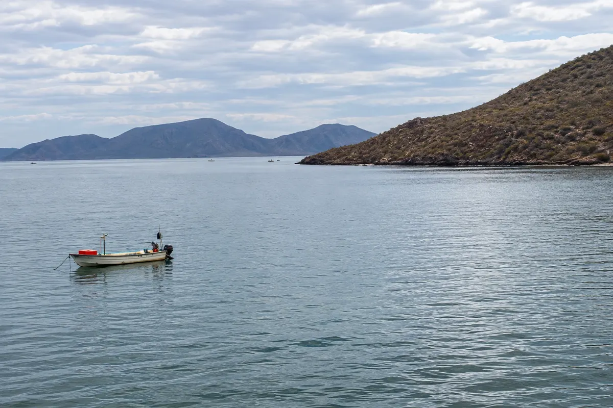
Bay · Los Mochis, Sinaloa
Bahía de Topolobampo
Bay of the Gulf of California about 20 km from Los Mochis, with islands, mangroves, dolphins and the ferry port to La Paz.
Illustrative images. The pictures in this guide are illustrations based on the real place, not photographs, and may differ from it.

Discover
About Bahía de Topolobampo
Topolobampo Bay is about 20 km from Los Mochis, on the Gulf of California, and has one of the deepest natural ports on the Mexican Pacific. Ferries to La Paz depart from the port on the other side of the gulf.
Boat tours travel the bay among islands and mangroves and often encounter dolphins, which inhabit the bay year-round, as well as pelicans, frigatebirds and sea lions on some islands.
El Farallón island and the Mazocahui hill are common stops on tours, and El Maviri beach, near the port, is the most popular beach with locals.
The port restaurants serve fish and seafood from the bay.
Before you go
Practical information
Cidade Turismo reviews its information regularly, but something may have changed. Check with the place before planning your trip.
How much time to set aside
Half day.
Best time
In the morning, when the sea is calmer.
How to get there
About 20 km from Los Mochis by taxi, bus or car; boats depart from the port pier.
Tip
Try the bay shrimp at the port restaurants.
Get your questions answered
Frequently asked questions about Bahía de Topolobampo
Are there dolphins in Topolobampo?
Yes, they live in the bay year-round and are often seen on boat tours.
What is the distance from Los Mochis to Topolobampo?
About 20 km.
From Topolobampo, ferries go to where?
To La Paz, in Baja California Sur.