

 Brazil
 Argentina
 Bolivia
 Chile
 Colombia
 Ecuador
 Guyana
 French Guiana
 Falkland Islands (Malvinas)
 Paraguay
 Peru
 Suriname
 Uruguay
 Venezuela
 Germany
 Austria
 Belgium
 Croatia
 Denmark
 Spain
 Finland
 France
 Greece
 the Netherlands
 Hungary
 Ireland
 Italy
 Luxembourg
 Norway
 Poland
 Portugal
 the United Kingdom
 the Czech Republic
 Sweden
 Switzerland
 Turkey
 the United States
 Mexico
 the Dominican Republic
 South Africa
 Australia
 Fiji
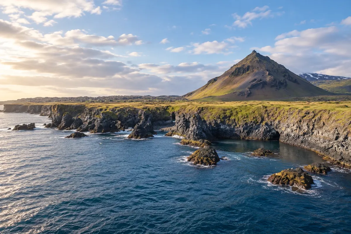
Coastal landscape · Arnarstapi, Western Region
Arnarstapi
Basalt coast with arches, small coves and trails along the cliffs.
Illustrative images. The pictures in this guide are illustrations based on the real place, not photographs, and may differ from it.

Discover
About Arnarstapi
The coast at Arnarstapi shows how the sea has carved the volcanic rock of Snæfellsnes. Basalt arches and openings appear along coastal paths, between coves and cliffs. The landscape can be seen on a short walk from the village.
Gatklettur, the natural arch by the shore, is one of the stops on the route. Rather than looking for it in isolation, it’s worth following the changing shapes of the rock between viewpoints. Birds often use parts of the cliffs during the breeding season, especially between May and August, depending on the species and the site.
The walk toward Hellnar expands the coastal experience, but should be planned according to the round-trip time. Choose the section before you set out and follow the marked passages. The view depends on the light and sea conditions; you don’t need to wait for a specific event to recognize the basalt.
Before you go
Practical information
Cidade Turismo reviews its information regularly, but something may have changed. Check with the place before planning your trip.
How much time to set aside
Two hours for the nearby coast; more time to continue to Hellnar.
Best time
From May to August, bird breeding usually occurs in parts of the coast; follow local guidance.
How to get there
On foot from Arnarstapi, which is reached via road 574.
Tip
Decide where you will return before setting off along the trail to Hellnar.
Official website
Get your questions answered
Frequently asked questions about Arnarstapi
How much time to allow for Arnarstapi?
Two hours for the nearby coast; more time to continue to Hellnar.
How to organize access to Arnarstapi?
On foot from Arnarstapi, reached via road 574.
What to consider when visiting Arnarstapi?
Decide where you will return before following the trail to Hellnar.