

 Brazil
 Argentina
 Bolivia
 Chile
 Colombia
 Ecuador
 Guyana
 French Guiana
 Falkland Islands (Malvinas)
 Paraguay
 Peru
 Suriname
 Uruguay
 Venezuela
 Germany
 Austria
 Belgium
 Croatia
 Denmark
 Spain
 Finland
 France
 Greece
 the Netherlands
 Hungary
 Ireland
 Italy
 Luxembourg
 Norway
 Poland
 Portugal
 the United Kingdom
 the Czech Republic
 Sweden
 Switzerland
 Turkey
 the United States
 Mexico
 the Dominican Republic
 South Africa
 Australia
 Fiji
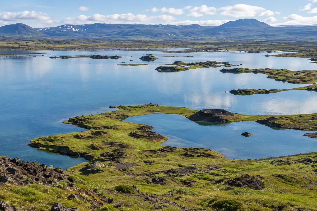
Lake · Reykjahlíð, Northeastern Region
Mývatn
A volcanic-landscape lake, with bird areas, islets and pseudocraters in the surroundings.
Illustrative images. The pictures in this guide are illustrations based on the real place, not photographs, and may differ from it.

Discover
About Mývatn
Mývatn occupies a volcanic-origin depression in the Northeast. The lake is related to lava fields, islets and vegetated shores. Traveling the area shows how water and eruptions shaped different forms within a relatively short distance.
In the Skútustaðir sector, pseudocraters help interpret the contact between lava and water. Waterbirds commonly use the lake, with higher activity from May to August depending on species and habitat. Observation should take that variation into account, without relying on encountering a specific animal.
The road circuit can be divided into walking stops, with Reykjahlíð as a base. Don’t try to treat the whole surroundings as a single viewpoint. Reserve a day for the different sectors and put the nearby lava and geothermal fields in another stage, depending on the length of stay.
Before you go
Practical information
Cidade Turismo reviews its information regularly, but something may have changed. Check with the place before planning your trip.
How much time to set aside
One day to drive around sectors of the lake and walk at the stops.
Best time
May to August usually has higher waterbird activity, depending on species and sector.
How to get there
By the roads around Mývatn, using Reykjahlíð as a base.
Tip
Include the Skútustaðir pseudocraters to compare lava and water relief.
Official website
Get your questions answered
Frequently asked questions about Mývatn
How much time to allow for Mývatn?
One day to drive around the lake sectors and walk at the stops.
How to organize access to Mývatn?
Via the roads around Mývatn, based in Reykjahlíð.
What to consider when visiting Mývatn?
Include the Skútustaðir pseudocraters to compare lava and water relief.