
 Brazil
 Argentina
 Bolivia
 Chile
 Colombia
 Ecuador
 Guyana
 French Guiana
 Falkland Islands (Malvinas)
 Paraguay
 Peru
 Suriname
 Uruguay
 Venezuela
 Germany
 Austria
 Belgium
 Croatia
 Denmark
 Finland
 France
 Greece
 the Netherlands
 Hungary
 Ireland
 Iceland
 Italy
 Luxembourg
 Norway
 Poland
 the United Kingdom
 the Czech Republic
 Sweden
 Switzerland
 Turkey
 the United States
 Mexico
 the Dominican Republic
 South Africa
 Australia
 Fiji
Cross-border route · Europe
Caminho Português to Santiago on foot
On foot from Portugal to Santiago de Compostela: the pilgrimage route that starts in Lisboa or Porto, follows the yellow arrows and ends at the praça do Obradoiro.
 Portugal
 Spain
6 cities 2 countries
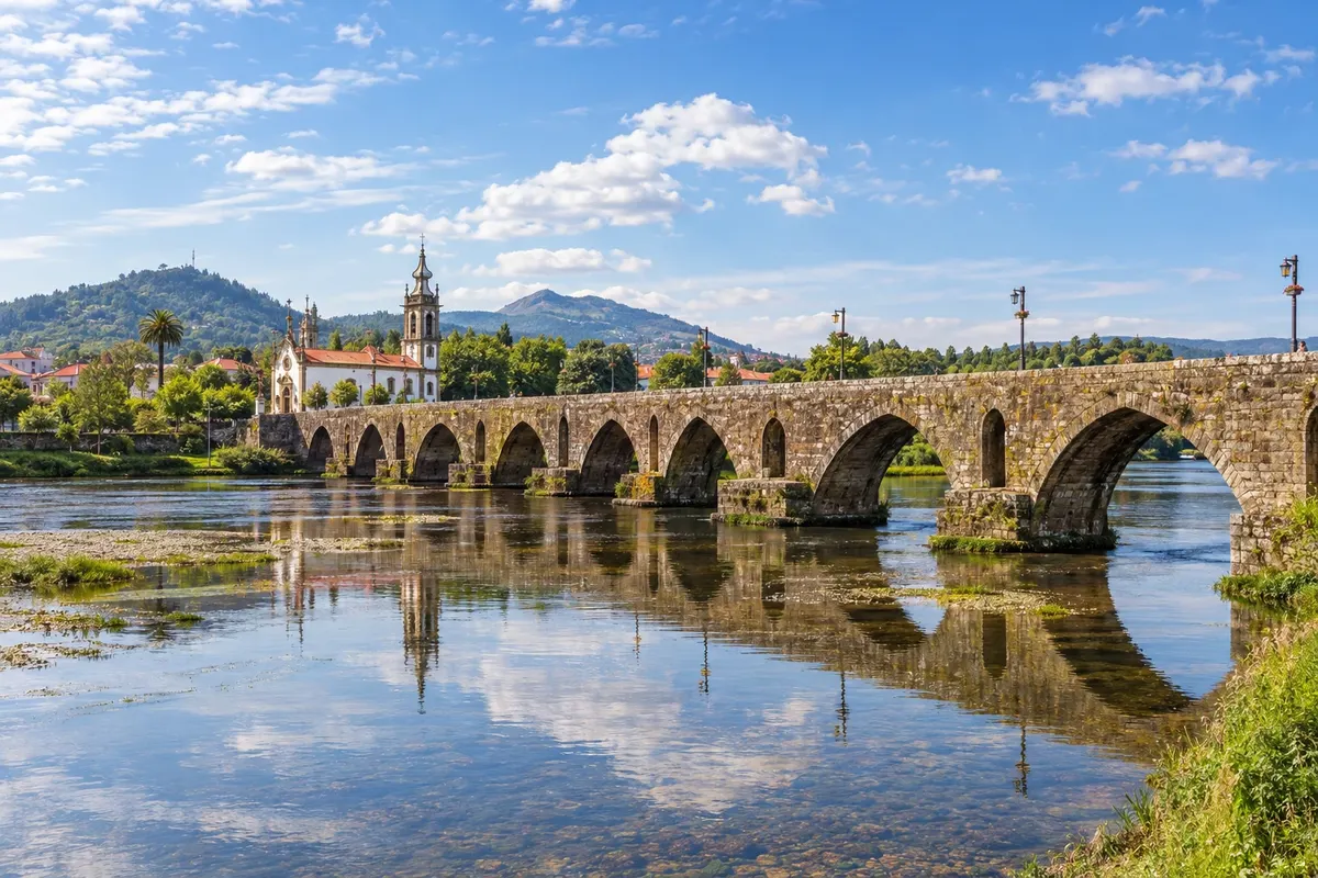
In the photo: Medieval bridge of Ponte de Lima
Illustrative images. The pictures in this guide are illustrations based on the real place, not photographs, and may differ from it.

The route
What is Caminho Português to Santiago on foot
The Caminho Português is one of the pilgrimage routes to Santiago de Compostela, used for centuries. The main route starts in Lisboa, passes through Santarém, Tomar and Coimbra to Porto, crosses the Minho and enters Galicia via Valença and Tui. It's about 617 km from Lisboa to Santiago, requiring almost four weeks of walking.
Most pilgrims do only part of it. From Porto it's about 242 km via the Caminho Central, through Barcelos and Ponte de Lima, or about 273 km via the Caminho da Costa, which follows the coast and goes through Vigo. The two routes meet in Redondela and continue together through Pontevedra, Caldas de Reis and Padrón to Santiago. Those with a week usually start in Tui, on the border, about 118 km from the cathedral.
The route is waymarked with yellow arrows and the scallop shell, and there are pilgrim hostels along the whole way. If you walk at least the last 100 km and stamp your credential, you can request the Compostela, the pilgrimage certificate, upon arrival in Santiago.
The map
6 cities in 2 countries
Outlines: Natural Earth, public domain. Adapted by Cidade Turismo.
The journey
City by city
Distances and times are approximate: check before you set out.
-
 1 · Portugal
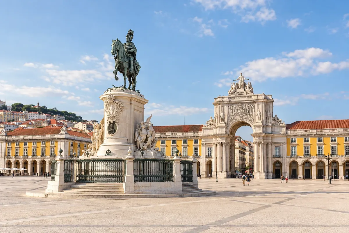
Lisboa
The starting point of the Caminho Central is the Sé de Lisboa, where many pilgrims get their first stamp. The first days follow the Tejo, along flat sections and roads, to Santarém. It's the section with the fewest pilgrims and the fewest hostels.
→ Tomar about 156 km cerca de 6 dias a pé Caminho Central, em 6 etapas, quase todo plano, pelo vale do Tejo: Lisboa, Alverca, Azambuja, Santarém, Golegã e Tomar. A etapa de Azambuja a Santarém é das mais longas.
-
 2 · Portugal
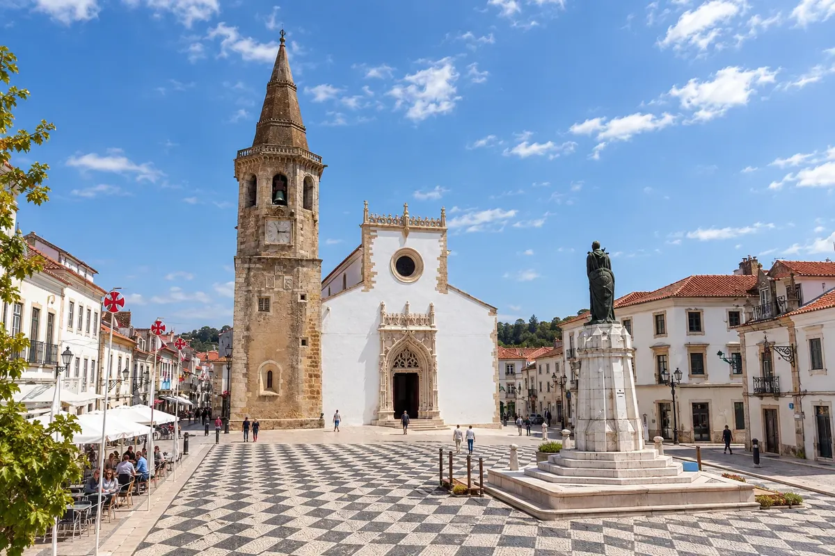
Tomar
After Santarém and Golegã, the route reaches Tomar, a Templar town with the Convento de Cristo on the hilltop. From Tomar the route becomes more rugged, through the mountains of the Sicó region.
→ Coimbra about 92 km cerca de 4 dias a pé Caminho Central, em 4 etapas, com subidas pela serra de Sicó: Tomar, Alvaiázere, Ansião, Conímbriga e Coimbra.
-
 3 · Portugal
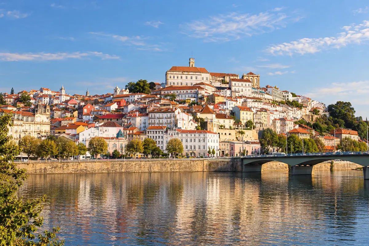
Coimbra
Before Coimbra the route passes the Roman ruins of Conímbriga. Coimbra has the old university on the hilltop, the Biblioteca Joanina and the Sé Velha. Afterwards the route crosses the Bairrada and goes through Águeda and Albergaria-a-Velha on the way to Porto.
→ Porto about 127 km cerca de 6 dias a pé Caminho Central, em 6 etapas, pela Bairrada e pelo interior: Coimbra, Mealhada, Águeda, Albergaria-a-Velha, São João da Madeira, Grijó e Porto.
-
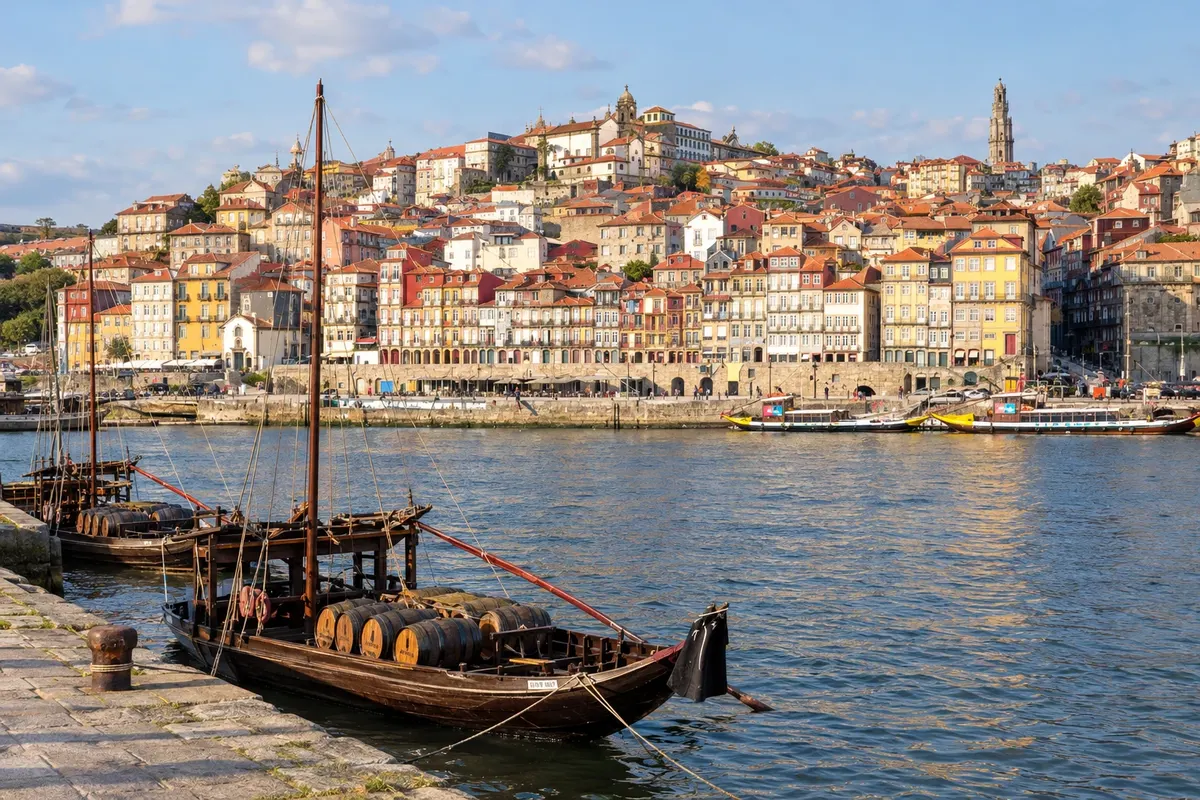 4 · Portugal
Porto
Porto is the most popular starting point. The Sé do Porto usually sells the credential and issues the first stamp. From here two routes depart: the Central, via Barcelos, Ponte de Lima and Valença to Tui, and the da Costa, along the coast via Vila do Conde, Esposende, Viana do Castelo and Caminha, into Galicia.
→ Vigo about 174 km cerca de 7 dias a pé Caminho da Costa em 7 etapas, por Póvoa de Varzim, Esposende, Viana do Castelo, Vila Praia de Âncora, A Guarda e Baiona até Vigo. Alternativa pelo Central: Porto–Tui, cerca de 125 km em 5 etapas, por Barcelos, Ponte de Lima e Rubiães.
-
 5 · Spain
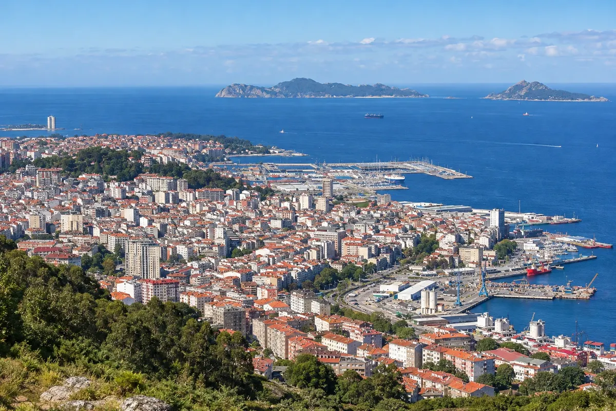
Vigo
The Caminho da Costa enters Galicia at A Guarda, continues through Baiona and reaches Vigo, the largest Galician city, with the old quarter Casco Vello and views over the ria. From Vigo to Santiago is about 99 km, slightly less than the 100 km required for the Compostela: those who want the certificate start earlier, in Baiona or A Guarda.
→ Santiago de Compostela about 99 km cerca de 5 dias a pé Da Costa: Vigo–Arcade (23 km, por Redondela), Pontevedra (12), Caldas de Reis (21), Padrón (19) e Santiago (24). Pelo Central: Tui–Santiago, cerca de 118 km em 6 etapas, por O Porriño, Redondela, Pontevedra, Caldas de Reis e Padrón.
-
 6 · Spain
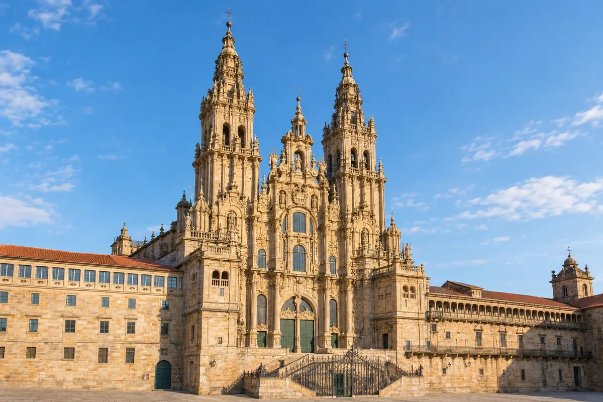
Santiago de Compostela
After Vigo the route reaches Redondela, where it joins the Caminho Central coming from Tui, and continues through Pontevedra, Caldas de Reis and Padrón. The arrival is at the praça do Obradoiro, in front of the cathedral. The Oficina do Peregrino, near the cathedral, issues the Compostela.
How to travel
The way and the tickets
On foot, following the yellow arrows, carrying a backpack or using luggage transfer services between stages offered by companies and some hostels. Each stage is generally 15 to 30 km. To reach the starting point, use train or bus: from Porto the Celta and regional trains stop at Valença, opposite Tui.
Best time to go
When to go: month by month
May, June and September, and early October: good temperatures for walking and long days. July and August are hot on the Portuguese sections and busy in Galicia, with hostels full. From November to March it rains a lot in the Minho and Galicia, and some hostels close.
The seasons shown are the most usual ones; nature doesn't always follow the calendar.
Planning
Planning the trip
How many days
From Tui to Santiago, 6 days of walking. From Porto, 11 to 13 days depending on the route. From Lisboa, about 4 weeks. Add one more day in Santiago on arrival and one day to reach the starting point.
Who it is for
For those who want to do the Camino de Santiago via a shorter, less crowded route than the Camino Francés, for people who enjoy walking several days in a row, and for those seeking a trip of faith, reflection, or physical challenge.
Your questions answered
Frequently asked questions about Caminho Português to Santiago on foot
Quantos quilômetros tem o Caminho Português?
Cerca de 617 km de Lisboa a Santiago pelo Caminho Central. Do Porto, cerca de 242 km pelo Central ou cerca de 273 km pelo Caminho da Costa. De Tui, cerca de 118 km. As distâncias mudam um pouco conforme a fonte e as variantes do traçado.
Onde a maioria começa?
No Porto, para quem tem perto de duas semanas, ou em Tui, para quem tem uma semana. Tui fica do outro lado do rio Minho, diante de Valença, e é o ponto mais comum para quem quer andar pouco mais que os 100 km da Compostela.
O que é a Compostela e como se consegue?
É o certificado da peregrinação, emitido pela Oficina do Peregrino, da Catedral de Santiago. Segundo a Oficina, é preciso fazer a pé pelo menos os últimos 100 km seguidos, num caminho reconhecido, terminando na catedral, e mostrar a credencial carimbada. Confirme as regras no site da Oficina do Peregrino antes de sair.
O que é a credencial do peregrino?
É o passaporte do peregrino, onde se juntam os carimbos do caminho. Dá acesso aos albergues de peregrinos e serve de prova para pedir a Compostela. Pode ser obtida em igrejas, associações de amigos do Caminho, albergues e na própria Oficina do Peregrino; existe também uma versão digital, em aplicativo da Oficina.
Quantos carimbos são necessários?
Os carimbos são pegos nos albergues, igrejas, cafés e prefeituras do caminho. Nos últimos 100 km, costuma-se pedir pelo menos dois carimbos por dia, com data. Confirme a regra atual no site da Oficina do Peregrino.
Precisa reservar os albergues?
Os albergues públicos costumam funcionar por ordem de chegada, sem reserva, e só para quem tem credencial. Os privados aceitam reserva. No verão, reserve os privados ou chegue cedo aos públicos.
Qual caminho é melhor saindo do Porto, o Central ou o da Costa?
O Central é o mais tradicional, por vilas do interior, bosques e campos, com mais albergues. O da Costa segue o mar e as praias, com etapas mais planas e longas, e passa por Vigo. Os dois se juntam em Redondela.