

 Brazil
 Argentina
 Bolivia
 Chile
 Colombia
 Ecuador
 Guyana
 French Guiana
 Falkland Islands (Malvinas)
 Paraguay
 Peru
 Suriname
 Uruguay
 Venezuela
 Germany
 Austria
 Belgium
 Croatia
 Denmark
 Spain
 Finland
 France
 Greece
 the Netherlands
 Hungary
 Ireland
 Iceland
 Italy
 Luxembourg
 Norway
 Poland
 Portugal
 the United Kingdom
 the Czech Republic
 Sweden
 Switzerland
 Turkey
 Mexico
 the Dominican Republic
 South Africa
 Fiji
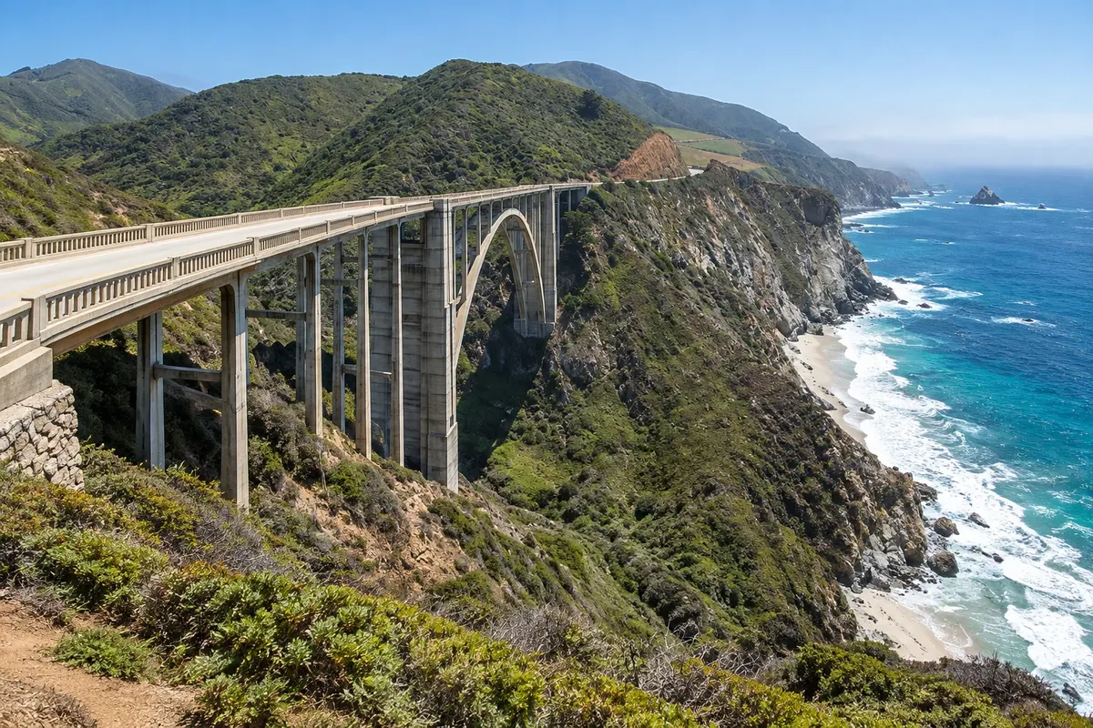
Bridge and viewpoint · Big Sur, Califórnia
Bixby Creek Bridge
Bridge and viewpoint on the Big Sur itinerary: Bixby Creek Bridge crosses a coastal valley in northern Big Sur
Illustrative images. The pictures in this guide are illustrations based on the real place, not photographs, and may differ from it.

Discover
About Bixby Creek Bridge
Bixby Creek Bridge crosses a coastal valley in northern Big Sur. The concrete arch and surrounding relief form one of the well-known landscapes of Highway 1.
The visit is observational from authorized points off the roadway. The view depends on which side you choose, the wind and the fog; the interest is in the relationship between the structure and the valley, with no need to enter private land.
To plan a stop at Bixby Creek Bridge, check the condition of Highway 1 and only stop where access and parking are permitted, not using the bridge as a pedestrian route. A road detour should not be chosen merely because it appears close to the arch’s base on a map.
Before you go
Practical information
Cidade Turismo reviews its information regularly, but something may have changed. Check with the place before planning your trip.
How much time to set aside
20 to 40 minutes.
Best time
To visit Bixby Creek Bridge, prefer the morning to start the circuit without compressing subsequent stages.
How to get there
Along Highway 1 south of Carmel, stopping only in authorized areas.
Tip
Do not stop in the travel lane or walk across the bridge to seek another framing.
Official website
Get your questions answered
Frequently asked questions about Bixby Creek Bridge
Can I stop on the bridge itself to take photos?
Stops should occur off the roadway, where authorized.
Does the visit depend on crossing the bridge on foot?
The proposed visit is via the permitted viewpoints.
How much time should I allow for Bixby Creek Bridge?
For Bixby Creek Bridge, allow about 20 to 40 minutes.