

 Argentina
 Bolivia
 Chile
 Colombia
 Ecuador
 Guyana
 French Guiana
 Falkland Islands (Malvinas)
 Paraguay
 Peru
 Suriname
 Uruguay
 Venezuela
 Germany
 Austria
 Belgium
 Croatia
 Denmark
 Spain
 Finland
 France
 Greece
 the Netherlands
 Hungary
 Ireland
 Iceland
 Italy
 Luxembourg
 Norway
 Poland
 Portugal
 the United Kingdom
 the Czech Republic
 Sweden
 Switzerland
 Turkey
 the United States
 Mexico
 the Dominican Republic
 South Africa
 Australia
 Fiji
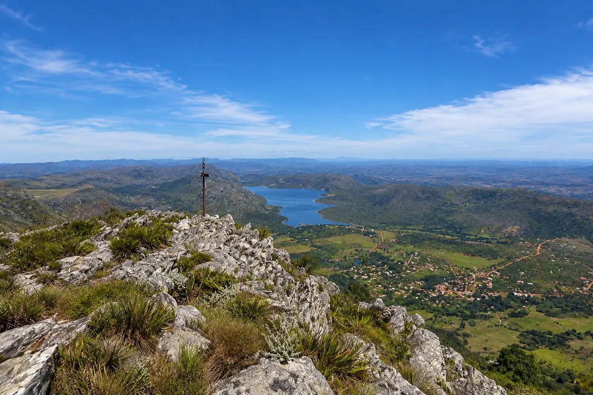
Mountain · Lapinha da Serra, MG
Pico da Lapinha
Peak of about 1,686 meters just above the village, the second highest in Serra do Cipó, with a summit cross. The trail climbs the slope and shows the lagoon, the village and the range.
Illustrative images. The pictures in this guide are illustrations based on the real place, not photographs, and may differ from it.

Discover
About Pico da Lapinha
Pico da Lapinha rises immediately above Lapinha da Serra, on the edge of Serra do Espinhaço, and reaches about 1,686 meters in altitude. It is the second highest point in Serra do Cipó; the highest, Pico do Breu, at about 1,687 meters, lies beside it on the same ridge. On Lapinha's summit there is a cross, and from there you can see the village, the lagoon, the valleys toward Santana do Riacho and, on clear days, the ranges toward Conceição do Mato Dentro.
The trail starts in the village and is about 10 km round trip, with a continuous ascent and sections of loose rock. A walker at a steady pace takes two to three hours to climb. The access is on private property, where a separate fee is charged; near the end of the ascent there is a support point with restrooms. The slope has no shade.
Pico do Breu is a longer outing and requires more experience: the trail crosses high-altitude fields and finishes on an exposed rock section. Many people climb it on the first day of the crossing to Tabuleiro. For both peaks, those unfamiliar with the route should go with a local guide.
Before you go
Practical information
Cidade Turismo reviews its information regularly, but something may have changed. Check with the place before planning your trip.
How much time to set aside
About 4 to 5 hours round trip, allowing time to rest at the top.
Best time
From April to September, when it rains less and the sky is usually clearer. Climb early in the morning, before the strong sun. In summer afternoon storms are common: descend before they form.
How to get there
The trail starts in the village itself, after the bridge over the stream, and is marked until the entrance of the private property where the fee is paid. Ask for directions in the village before leaving.
Tip
Bring water, sunscreen, a hat and warm clothing for the summit wind. Wear sturdy footwear. Bring cash for the property fee. Do not climb with low clouds or thunderstorm risk.
Get your questions answered
Frequently asked questions about Pico da Lapinha
What is the height of Pico da Lapinha?
About 1,686 meters. It is the second highest point of the Serra do Cipó, after the neighboring Pico do Breu, at about 1,687 meters.
Is the Pico da Lapinha trail difficult?
It is moderate: about 10 km round trip, with a continuous ascent and loose rock. It requires some fitness, but no climbing gear.
Is there a fee to climb Pico da Lapinha?
Yes. The access route crosses private property, where an additional fee is charged. Check the price in the village and bring cash, because mobile signal is weak.