

 Argentina
 Bolivia
 Chile
 Colombia
 Ecuador
 Guyana
 French Guiana
 Falkland Islands (Malvinas)
 Paraguay
 Peru
 Suriname
 Uruguay
 Venezuela
 Germany
 Austria
 Belgium
 Croatia
 Denmark
 Spain
 Finland
 France
 Greece
 the Netherlands
 Hungary
 Ireland
 Iceland
 Italy
 Luxembourg
 Norway
 Poland
 Portugal
 the United Kingdom
 the Czech Republic
 Sweden
 Switzerland
 Turkey
 the United States
 Mexico
 the Dominican Republic
 South Africa
 Australia
 Fiji
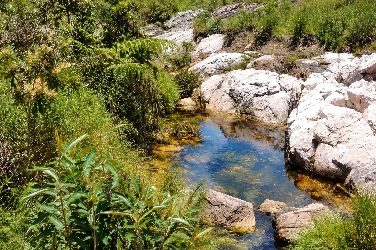
Source (spring) · São Roque de Minas, MG
Historic Source of the São Francisco River
Marker of the traditional source of the São Francisco River on the chapadão da Canastra, at the roadside of the park, a few kilometers from Gatehouse 1, featuring an image of São Francisco de Assis and the river's first bridge.
Illustrative images. The pictures in this guide are illustrations based on the real place, not photographs, and may differ from it.

Discover
About Historic Source of the São Francisco River
At the edge of the main road of the Serra da Canastra National Park, a few kilometers from Gatehouse 1, a small fenced area marks the historic spring of the São Francisco River. The water wells up in the high-altitude grassland and runs in a narrow stream that soon passes under the river's first bridge. On the site there is an image of São Francisco de Assis, the saint after whom the river is named.
From there the São Francisco runs about 14 km across the chapadão to the edge of the mountain, where it plunges at the Casca d'Anta, its first great waterfall. It then crosses Minas Gerais, Bahia, Pernambuco, Alagoas and Sergipe to the Atlantic Ocean. It is about 2,800 km, making it the largest river entirely within Brazil, also known as Velho Chico.
The name historic spring is justified. Studies by Codevasf carried out in 2001 and 2002 began to consider the Samburá River, which springs in the municipality of Medeiros, as part of the main course, the so-called geographic source. The Canastra one remains the traditional source, the one protected when the park was created in 1972, and the most visited by visitors.
The visit is brief, with a short walk around the marker. Many make it their first stop of the day, on the way to Curral de Pedras and the high part of Casca d'Anta, along the same road.
Before you go
Practical information
Cidade Turismo reviews its information regularly, but something may have changed. Check with the place before planning your trip.
How much time to set aside
20 to 40 minutes to the marker, the spring and the bridge. It is usually the first stop of the day in the upper part of the park.
Best time
In the morning, on the way to the upper part of Casca d'Anta. From April to October the road is usually firmer; from November to March the fields become greener, but rain makes the route more difficult.
How to get there
By car, via the park's main road, from Gatehouse 1, about 7 km from São Roque de Minas. The marker is at the roadside, signposted, a few kilometers after the gate. Park admission is charged at the gatehouse.
Tip
Do not enter the fenced area or step on the waterlogged margins: the soil around the spring is fragile. Bring warm clothing, because on the chapadão the wind is often cold in the morning.
Get your questions answered
Frequently asked questions about Historic Source of the São Francisco River
Where does the São Francisco River originate?
The historic source is on the chapadão of the Serra da Canastra, inside the Serra da Canastra National Park, in São Roque de Minas. Access is via Gatehouse 1, about 7 km from the town center.
What is the difference between the historic source and the geographic source of the São Francisco?
The historic source is the one in the Serra da Canastra, traditionally recognized as the river's origin. Studies by Codevasf in the early 2000s began to consider the Samburá River, which springs in Medeiros, as part of the main course, and its source became known as the geographic one.
Do you have to pay to see the São Francisco spring?
The spring is inside the national park, and park admission is charged at the gatehouse. There is no separate fee for the marker. Check ICMBio's current table before you go.