

 Brazil
 Argentina
 Bolivia
 Colombia
 Ecuador
 Guyana
 French Guiana
 Falkland Islands (Malvinas)
 Paraguay
 Peru
 Suriname
 Uruguay
 Venezuela
 Germany
 Austria
 Belgium
 Croatia
 Denmark
 Spain
 Finland
 France
 Greece
 the Netherlands
 Hungary
 Ireland
 Iceland
 Italy
 Luxembourg
 Norway
 Poland
 Portugal
 the United Kingdom
 the Czech Republic
 Sweden
 Switzerland
 Turkey
 the United States
 Mexico
 the Dominican Republic
 South Africa
 Australia
 Fiji
Trail · Curacaví, Metropolitana de Santiago
Cerro El Mauco
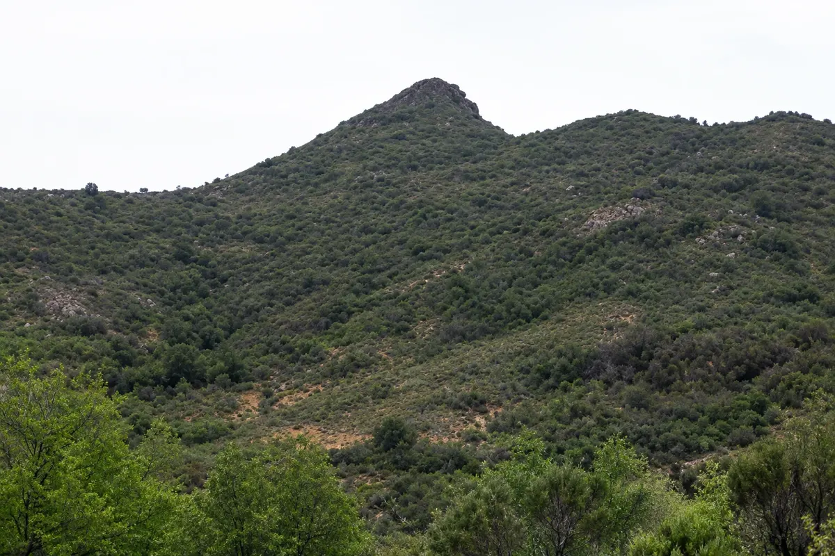
Hill of the Coastal Range north of Curacaví, with an out-and-back trail to the summit at about 1,500 meters. From the top you can see the Andes and the Casablanca valley and, on clear days, the Pacific.
Illustrative images. The pictures in this guide are illustrations based on the real place, not photographs, and may differ from it.

Discover
About Cerro El Mauco
Cerro El Mauco is one of the hills of the Coastal Range surrounding Curacaví, north of the town. From the summit, at about 1,500 meters altitude, you can see both the Andes and, on clear days, the Pacific Ocean, as well as the Casablanca valley.
The trail is out-and-back along the same route, about 12.6 km in total with roughly 1,100 meters of elevation gain. It starts on a dirt track at about 380 meters altitude, passes through woodland and a stream, reaches a plateau around 1,300 meters, and finishes with a steep final section to the summit. The path is clear, but signage is limited.
The ascent usually takes 3 to 4 hours, and the descent less than 2. It does not require technical skills but does demand good fitness because of the large elevation change. Vegetation is typical of central Chile—shrubs and spiny plants—with little shade.
The best season is winter and early spring when temperatures are lower; just after a snowfall in the Andes, the mountain views are more striking. In summer the hill becomes dry and hot.
Before you go
Practical information
Cidade Turismo reviews its information regularly, but something may have changed. Check with the place before planning your trip.
How much time to set aside
Full day: 3 to 4 hours up and less than 2 hours down.
Best time
From May to October, starting early. In summer, December to March, begin at dawn and carry plenty of water. Clear days after rain usually offer the widest views.
How to get there
By car. On Route 68, pass Curacaví heading toward Valparaíso and take the first exit to the side road. Follow Camino El Toro north, then a dirt road to the trailhead, about 9 km from Route 68.
Tip
Bring water, sunscreen, a hat, and hiking shoes: there is little shade. The trailhead is next to the gate of private property; check access before you go.
Get your questions answered
Frequently asked questions about Cerro El Mauco
Is the Cerro El Mauco trail difficult?
It does not require technical skills, but there is about 1,100 meters of ascent over 6 km. It demands good fitness and a full day.
What is the best time to climb Cerro El Mauco?
Winter and early spring, from May to October. In summer the heat is intense and there is little shade; if you go then, start at dawn.