

 Brazil
 Argentina
 Bolivia
 Chile
 Colombia
 Ecuador
 Guyana
 French Guiana
 Falkland Islands (Malvinas)
 Paraguay
 Peru
 Suriname
 Uruguay
 Venezuela
 Germany
 Austria
 Belgium
 Croatia
 Denmark
 Spain
 Finland
 France
 Greece
 the Netherlands
 Hungary
 Ireland
 Iceland
 Italy
 Luxembourg
 Norway
 Poland
 Portugal
 the United Kingdom
 the Czech Republic
 Sweden
 Switzerland
 Turkey
 Mexico
 the Dominican Republic
 Fiji
Province · Kruger, Mpumalanga e Limpopo
Mpumalanga
Mpumalanga: the southern part of Kruger National Park, with Skukuza and Hazyview, and the Panorama Route, with Blyde River Canyon, God's Window and Pilgrim's Rest.
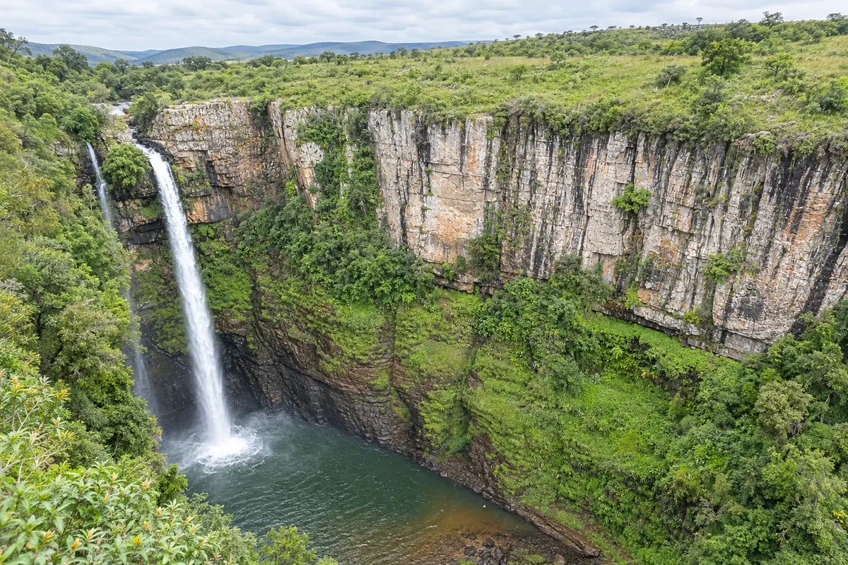
In the photo: Mac-Mac Waterfall
Illustrative images. The pictures in this guide are illustrations based on the real place, not photographs, and may differ from it.

The province
Get to know Mpumalanga
Mpumalanga is in the east of South Africa, between the highveld and the plains that slope down toward Mozambique. It is the province that includes the southern part of Kruger National Park, the country's largest and best-known safari park, and the Panorama Route, a mountain road with canyons, viewpoints and waterfalls.
Kruger covers about 2 million hectares and is home to the so-called Big Five: lion, leopard, elephant, buffalo and rhinoceros. In the south, in Mpumalanga, are Skukuza, the park's largest camp, and the busiest gates, near Hazyview and Malelane. The park can be explored by private car or on guided safaris, and the private Sabi Sand reserves lie adjacent.
In the highlands, the Panorama Route runs through Blyde River Canyon, one of the world's largest canyons, featuring the Three Rondavels rock formations, the God's Window viewpoint, Bourke's Luck Potholes—holes carved by water into the rock—and waterfalls such as Mac Mac and Lisbon. Graskop and Sabie are the bases, and Pilgrim's Rest is a 19th-century gold-rush village preserved as a museum.
The capital, Mbombela, has the most-used airport for Kruger. In the southern part of the province, the Barberton Makhonjwa Mountains, with some of the oldest rocks on Earth, are a World Heritage Site.
When to go
From May to September, in the dry winter, vegetation is lower and animals tend to concentrate near rivers and waterholes; it is the most popular time for safari. From October to April it is hot, with afternoon rains, and young are usually born at the start of summer. In the highlands, fog often covers the viewpoints on some days. Mpumalanga is 5 hours ahead of Brasília.
Getting there
Kruger Mpumalanga International Airport (MQP), near Mbombela, receives flights from Johannesburg and Cape Town, and Skukuza has a runway with flights into the park. By car, Hazyview is about 5 hours from Johannesburg, and Graskop about 1 hour from Hazyview. A rental car makes it possible to combine Kruger and the Panorama Route.
Your questions
Frequently asked questions about Mpumalanga
Can you go on safari in Kruger with your own car?
Yes. The park has paved and dirt roads and camps with accommodation. You must respect the gate opening and closing times, which change with the season; check before you go.
How many days should you book for Kruger?
Three to four days allow for several safaris at different times. The Panorama Route requires an additional one or two days.
What to see on the Panorama Route?
Blyde River Canyon with the Three Rondavels, God's Window, the Bourke's Luck Potholes, the waterfalls and the village of Pilgrim's Rest.
Which airport to use for Kruger?
Kruger Mpumalanga (MQP), near Mbombela, or the airstrips at Skukuza, Hoedspruit and Phalaborwa, depending on which part of the park.