

 Brazil
 Argentina
 Bolivia
 Chile
 Colombia
 Ecuador
 Guyana
 French Guiana
 Falkland Islands (Malvinas)
 Paraguay
 Peru
 Suriname
 Uruguay
 Venezuela
 Germany
 Austria
 Belgium
 Croatia
 Denmark
 Spain
 Finland
 France
 Greece
 the Netherlands
 Hungary
 Ireland
 Iceland
 Italy
 Luxembourg
 Norway
 Poland
 Portugal
 the United Kingdom
 the Czech Republic
 Sweden
 Switzerland
 Turkey
 Mexico
 the Dominican Republic
 South Africa
 Fiji
State · Nova Inglaterra
Vermont
Vermont, in the Green Mountains: fall foliage, maple syrup, the Stowe and Killington ski areas, covered bridges, and Burlington on the shore of Lake Champlain.
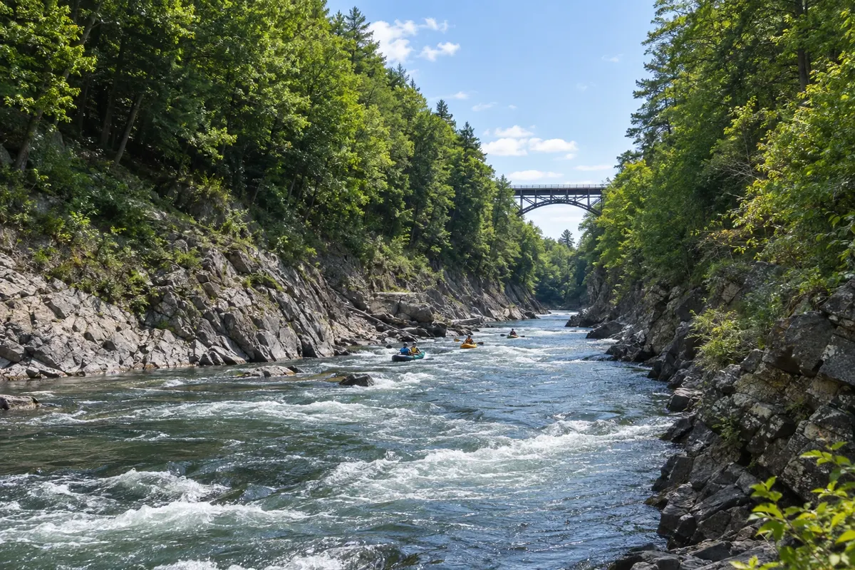
In the photo: Quechee Gorge
Illustrative images. The pictures in this guide are illustrations based on the real place, not photographs, and may differ from it.

The state
Get to know Vermont
Vermont is in the northwest of New England, between New York and New Hampshire, on the Canadian border, and the Green Mountains run north–south through it. It is a rural state of dairy farms, villages with white churches, covered bridges, and roads without billboards, banned by law since 1968.
Vermont is the country’s largest producer of maple syrup. At the end of winter, sugarhouses boil tree sap and welcome visitors; in autumn, the maple forests turn red and yellow and roads fill with people who come to see the foliage. Woodstock, Stowe and the village of Grafton are among the most popular stops.
In winter, Stowe, Killington, Sugarbush and Jay Peak are among the best-known ski areas in the eastern US; in summer those same mountains offer hiking, mountain biking and the Long Trail, the oldest long-distance trail in the United States.
Burlington, the largest city, sits on the shore of Lake Champlain, with the pedestrian Church Street Promenade, a lakeside bike path and evening boat cruises. Nearby, the Shelburne Museum brings together houses, a steamboat and collections of American folk art. Montpelier, the capital, is the smallest state capital in the country. At the table, farm cheddar, pancakes with maple syrup and craft beers.
When to go
From mid-September to mid-October is peak foliage season, with accommodation in high demand. The ski season runs from December through April. March and April are maple syrup season, and the thaw in April and May often turns dirt roads muddy — the so-called mud season. Summer, June through August, has mild days around 26 °C (79 °F). Vermont is 2 hours behind Brasília (1 hour behind during daylight saving time).
Getting there
Burlington Airport (BTV) has domestic flights; many visitors arrive via Boston, about a 3.5-hour drive to Burlington, or via Montreal, Canada, about 2 hours away. From Brazil, travel usually requires a connection — check before you buy. The Vermonter train links Washington and New York to the state, and the Ethan Allen Express runs from New York to Burlington. A car is essential for reaching villages and ski areas.
Your questions
Frequently asked questions about Vermont
When to see fall foliage in Vermont?
Colors usually begin in the north and in the mountains around mid-September and reach the southern part of the state in early to mid-October. The peak changes each year, and the state tourism website publishes a color map during the season. Book accommodation in advance.
How to visit a sugarhouse (maple syrup cabin)?
Many farms welcome visitors, especially in March and April when sap is boiled, and several are open year-round with a shop and tastings. In late March, the Maple Open House weekend opens dozens of sugarhouses to the public.
Which are Vermont’s ski areas?
Stowe, Killington, Sugarbush, Okemo, Stratton and Jay Peak, the northernmost one near Canada. The season runs from December through April, and Killington is often the first to open and the last to close.
How many days to plan for Vermont?
Three or four days allow you to combine Burlington, Stowe and one or two central villages like Woodstock. During foliage season, add an extra day to drive the back roads at a relaxed pace.