

 Brazil
 Argentina
 Bolivia
 Chile
 Colombia
 Ecuador
 Guyana
 French Guiana
 Falkland Islands (Malvinas)
 Paraguay
 Peru
 Suriname
 Uruguay
 Venezuela
 Germany
 Austria
 Belgium
 Croatia
 Denmark
 Spain
 Finland
 France
 Greece
 the Netherlands
 Hungary
 Ireland
 Iceland
 Italy
 Luxembourg
 Norway
 Poland
 Portugal
 the United Kingdom
 the Czech Republic
 Sweden
 Switzerland
 Turkey
 Mexico
 the Dominican Republic
 South Africa
 Fiji
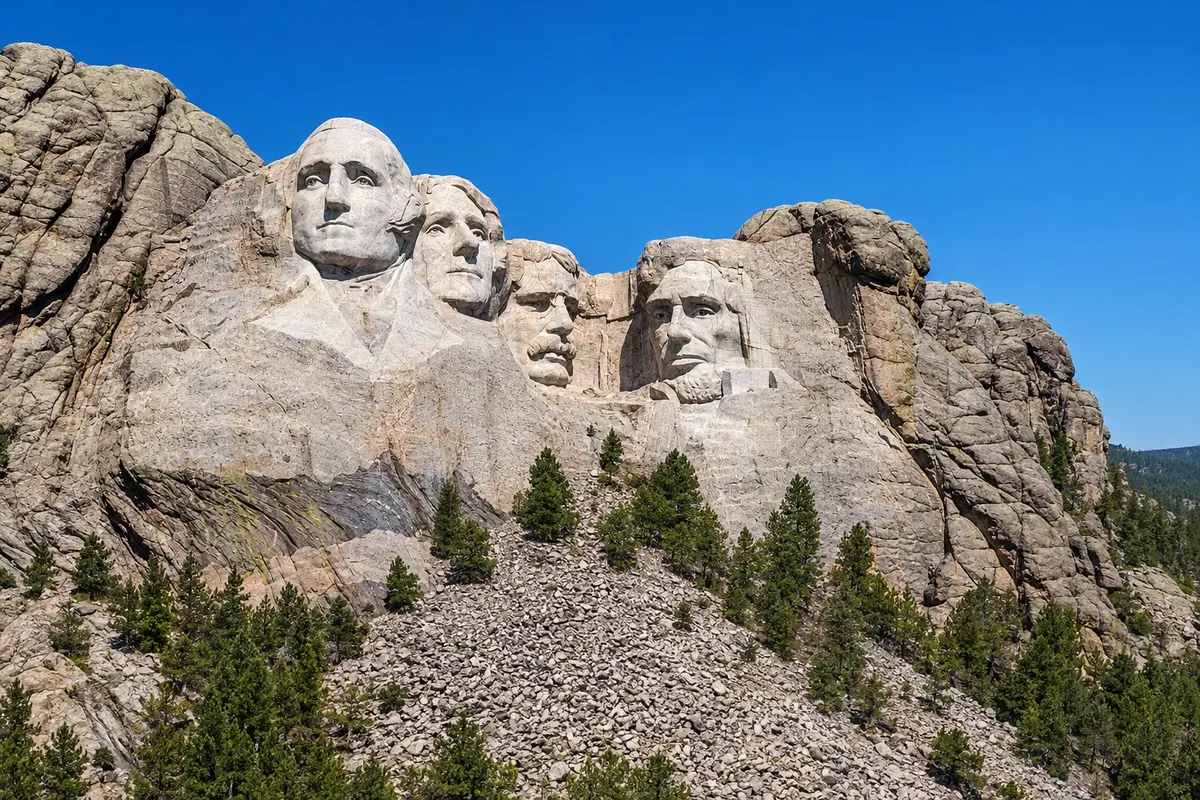
State · Grandes Planícies (Monte Rushmore)
Dakota do Sul
South Dakota has Mount Rushmore, with the faces of four presidents, the Crazy Horse memorial, the Black Hills and the formations of Badlands National Park.
In the photo: Mount Rushmore
Illustrative images. The pictures in this guide are illustrations based on the real place, not photographs, and may differ from it.

The state
Get to know Dakota do Sul
South Dakota is located on the Great Plains in the north-central United States, split by the Missouri River. The capital is Pierre. The east is prairie and farmland; the west is hills, canyons and Lakota lands. The state spans two time zones: the western part, including Rapid City, observes Mountain Time.
In the southwest, in the Black Hills, Mount Rushmore has the faces of George Washington, Thomas Jefferson, Theodore Roosevelt and Abraham Lincoln carved into the granite, each about 18 m tall. Keystone is the town next to the memorial, and Rapid City, about 40 km away, has the airport and statues of presidents on downtown corners.
Nearby, the Crazy Horse Memorial is an unfinished mountain sculpture of the Lakota leader, and Custer State Park has free-roaming bison and scenic drives like the Needles Highway. About 120 km east of Rapid City, Badlands National Park has layered rock walls and fossils.
On the plateau, bison and chislic, a fried meat skewer that is the state’s typical snack. In August, the town of Sturgis hosts one of the world’s largest motorcycle rallies and the region becomes very crowded.
When to go
From May to September is usually the best time, with all Black Hills roads open. Summer brings warm days and afternoon storms, and in the first half of August the Sturgis motorcycle rally fills the region. Winter is cold and snowy.
Getting there
Rapid City Regional Airport (RAP) is about 15 km from the city and receives flights from cities such as Denver, Chicago and Minneapolis. Connections from Brazil usually require a stop in another U.S. city. Check before you buy. By car, Rapid City is about 650 km from Denver and about 600 km from the east entrance of Yellowstone, and many travelers combine the two on a road trip.
Your questions
Frequently asked questions about Dakota do Sul
How long does a visit to Mount Rushmore take?
One to two hours allows you to walk the Avenue of Flags, the observation terrace and the Presidential Trail, a path that gets you closer to the sculptures. The memorial does not charge an entrance fee, but parking is paid separately.
Can you see Mount Rushmore and the Badlands in the same day?
You can, but it’s rushed: it’s about two hours’ drive between them. The most common approach is to reserve one day for the Black Hills and another for the Badlands, using Rapid City as a base.
What is the Crazy Horse memorial?
It is a mountain sculpture of the Lakota leader Crazy Horse, begun in 1948 and still unfinished, about 27 km from Mount Rushmore. The visitor center has a museum about the Indigenous peoples of North America.
Where to see bison in the Black Hills?
In Custer State Park, especially on the Wildlife Loop Road, where herds often cross the road. Stay inside your car and keep a safe distance.