

 Brazil
 Argentina
 Bolivia
 Chile
 Colombia
 Ecuador
 Guyana
 French Guiana
 Falkland Islands (Malvinas)
 Paraguay
 Peru
 Suriname
 Uruguay
 Venezuela
 Germany
 Austria
 Belgium
 Croatia
 Denmark
 Spain
 Finland
 France
 Greece
 the Netherlands
 Hungary
 Ireland
 Iceland
 Italy
 Luxembourg
 Norway
 Poland
 Portugal
 the United Kingdom
 the Czech Republic
 Sweden
 Switzerland
 Turkey
 Mexico
 the Dominican Republic
 South Africa
 Fiji
State · Sul (Geórgia, Carolinas e Tennessee)
Carolina do Norte
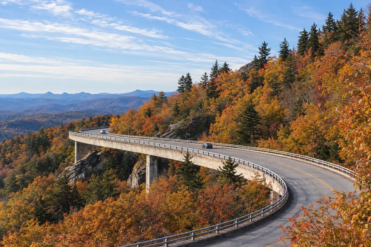
North Carolina stretches from the Great Smoky Mountains and the Blue Ridge Parkway in the west to the sandy islands of the Outer Banks on the Atlantic.
In the photo: Linn Cove Viaduct, Blue Ridge Parkway
Illustrative images. The pictures in this guide are illustrations based on the real place, not photographs, and may differ from it.

The state
Get to know Carolina do Norte
North Carolina is in the southeastern United States, between the Appalachian Mountains and the Atlantic. The capital is Raleigh; the largest city is Charlotte, a financial center and hub for Nascar racing.
In the west, Cherokee is the southern gateway to the Great Smoky Mountains National Park, a UNESCO site, and the homeland of the Eastern Band of Cherokee, with the Museum of the Cherokee Indian and the Oconaluftee village, which shows the people's life in the 18th century. From there the Blue Ridge Parkway begins, a scenic road of about 750 km through the mountains.
Asheville, in the mountains, is home to the Biltmore, the largest private house in the United States, built by the Vanderbilt family in the late 19th century, as well as breweries and artist studios.
On the coast, the Outer Banks are a stretch of sandy islands with lighthouses and dunes; in Kitty Hawk, the Wright brothers made in 1903 the flight that Americans consider the first powered airplane flight. On the table, pulled pork barbecue with vinegar sauce.
When to go
Spring (April and May) and fall (September to November) are usually the best times, and in the mountains the leaves change color in October. Summer is beach season in the Outer Banks, hot and humid, and the coast lies in the Atlantic hurricane belt from June to November. Winter is typically cold in the mountains, with snow.
Getting there
Charlotte Douglas International Airport (CLT) is one of the largest in the country; Raleigh-Durham (RDU) and Asheville (AVL) also receive flights. Connections from Brazil usually involve a stop in another U.S. city. Check before purchasing. Cherokee is about an hour’s drive from Asheville. From the Tennessee side you reach Cherokee via Gatlinburg on Newfound Gap Road, which crosses the park.
Your questions
Frequently asked questions about Carolina do Norte
What to do in Cherokee?
Visit the Museum of the Cherokee Indian and the Oconaluftee village, enter the Great Smoky Mountains National Park via the Oconaluftee Visitor Center, and see the American elk that often graze in nearby fields in the early morning and late afternoon.
What is the Blue Ridge Parkway?
It is a scenic road, free of trucks and traffic lights, that follows the crest of the Appalachians from Cherokee to Shenandoah Park in Virginia. Speeds are low and there are many overlooks; sections close in winter due to ice and snow.
Is Asheville worth visiting?
For those going to the mountains, yes: the city is about an hour from Cherokee and has the Biltmore, with the mansion, gardens and winery, plus a downtown with Art Deco buildings and many breweries.
When to go to the Outer Banks?
From May to September for the beach, with the warmest water in July and August. Outside the summer many shops and restaurants close or reduce hours.