

 Brazil
 Argentina
 Bolivia
 Chile
 Colombia
 Ecuador
 Guyana
 French Guiana
 Falkland Islands (Malvinas)
 Paraguay
 Peru
 Suriname
 Uruguay
 Venezuela
 Germany
 Austria
 Belgium
 Croatia
 Denmark
 Spain
 Finland
 France
 Greece
 the Netherlands
 Hungary
 Ireland
 Iceland
 Italy
 Luxembourg
 Norway
 Poland
 Portugal
 the United Kingdom
 the Czech Republic
 Sweden
 Switzerland
 Turkey
 Mexico
 the Dominican Republic
 South Africa
 Fiji
State · Sudoeste (Grand Canyon e Las Vegas)
Arizona
Arizona has the Grand Canyon, the red rocks of Sedona, Antelope Canyon, Horseshoe Bend, Monument Valley and the Sonoran Desert with saguaro cacti.
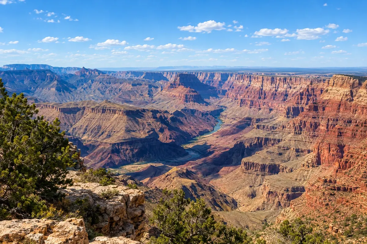
In the photo: Grand Canyon
Illustrative images. The pictures in this guide are illustrations based on the real place, not photographs, and may differ from it.

The state
Get to know Arizona
Arizona is in the southwestern United States, on the border with Mexico, between California, Nevada, Utah and New Mexico. The capital and largest city is Phoenix, in the Sonoran Desert. The state does not observe daylight saving time, with the exception of the Navajo Nation in the northeast.
To the north, the Grand Canyon, a UNESCO World Heritage Site, is the canyon carved by the Colorado River, about 1,800 m deep. The South Rim, the most visited, is at Grand Canyon Village; Flagstaff, the nearest city with an airport, and Williams, where the train to the canyon departs, are on the historic Route 66.
Further north, Page sits by Lake Powell, Antelope Canyon, a narrow sandstone canyon visited only with Navajo guides, and the bend in the Colorado River called Horseshoe Bend. On the border with Utah, Monument Valley, with the rock formations from western films, is a Navajo tribal park and is visited from Oljato-Monument Valley.
In the center of the state, Sedona is surrounded by red rocks, with trails and viewpoints. Phoenix has the Desert Botanical Garden, featuring saguaro cacti, and in Scottsdale is Taliesin West, Frank Lloyd Wright’s home and school, a UNESCO site. On the plate are foods of Mexican and Indigenous heritage, such as chimichanga and Navajo fry bread.
When to go
March to May and September to November are often the best times. In Phoenix and the desert, summer temperatures frequently exceed 40 °C; on the South Rim of the Grand Canyon, at about 2,100 m elevation, summers are mild and winters bring snow. From July to September, the monsoon season typically brings afternoon storms.
Getting there
Phoenix Sky Harbor International Airport (PHX) is the main gateway; Flagstaff (FLG) has regional flights. Connections from Brazil typically require a stop in another U.S. city. Confirm before booking. From Phoenix to the South Rim of the Grand Canyon is about 370 km via Flagstaff, and Sedona is about two hours from Phoenix. Many travelers reach the Grand Canyon from Las Vegas, roughly a four-and-a-half-hour drive.
Your questions
Frequently asked questions about Arizona
Which rim of the Grand Canyon should I visit?
The South Rim is the most visited and is open year-round, with most viewpoints, trails and hotels. The West Rim, which features the Skywalk walkway, is on Hualapai land, closer to Las Vegas, and is managed by the tribe, outside the national park.
How do I visit Antelope Canyon?
Only with guided tours run by Navajo operators departing from Page. The canyon has two sections, Upper and Lower, with separate tours, and spots sell out—book in advance. On rainy days in the region, visits may be canceled.
Do I need to adjust my clock in Arizona?
It depends on the time of year. Arizona is in Mountain Time and does not observe daylight saving time: from March to November it shares the same time as California and in winter is one hour ahead of it. The Navajo Nation, where Monument Valley is located, does observe daylight saving time: check the timing of tours in the area.
How many days for northern Arizona?
Three to five days allow you to see the South Rim of the Grand Canyon, Page with Antelope Canyon and Horseshoe Bend, and Monument Valley. Sedona requires an additional one or two days.