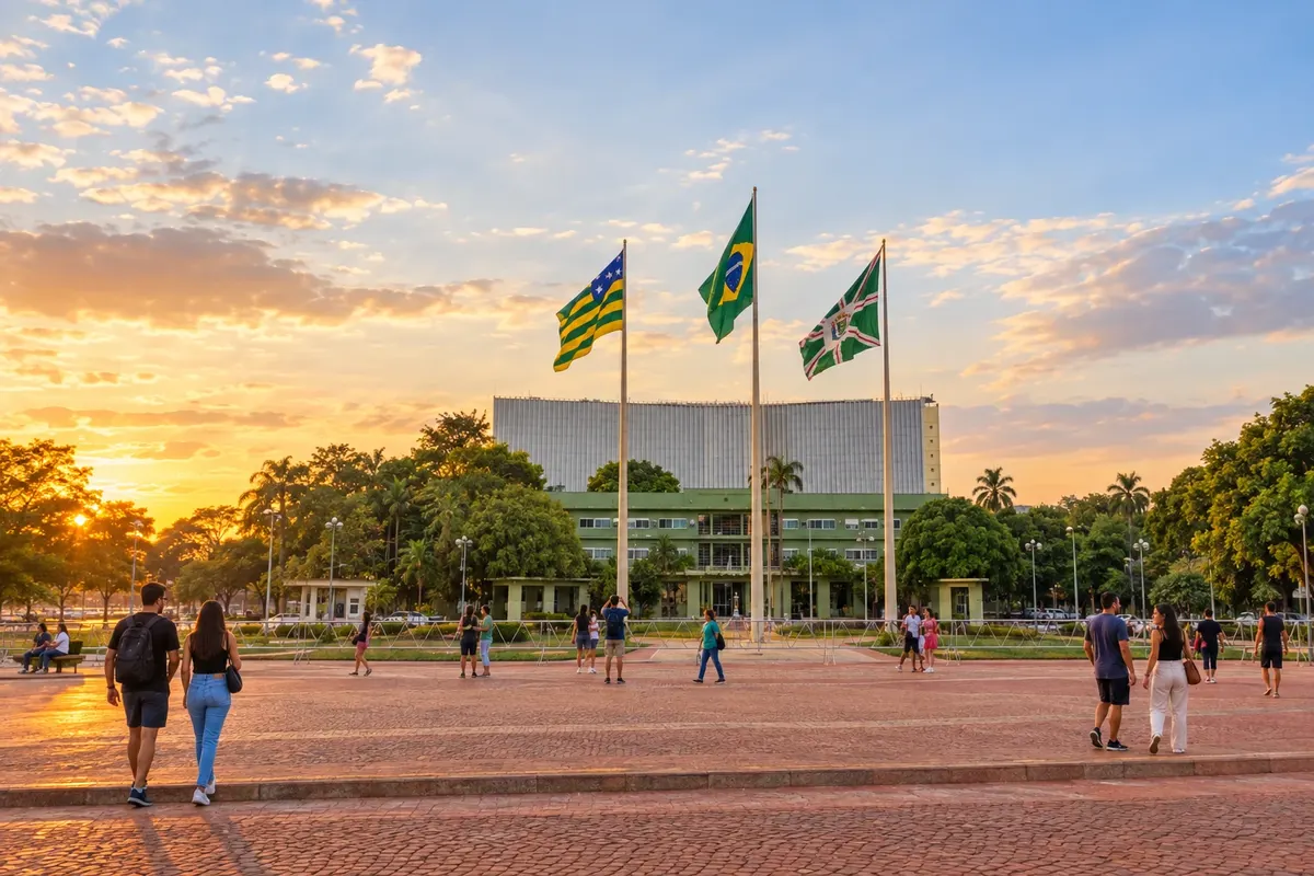
Capital

State · Central-West
High-altitude Cerrado, gold-rush towns and hot springs: Goiás calls for trips in stages, each with its own pace.
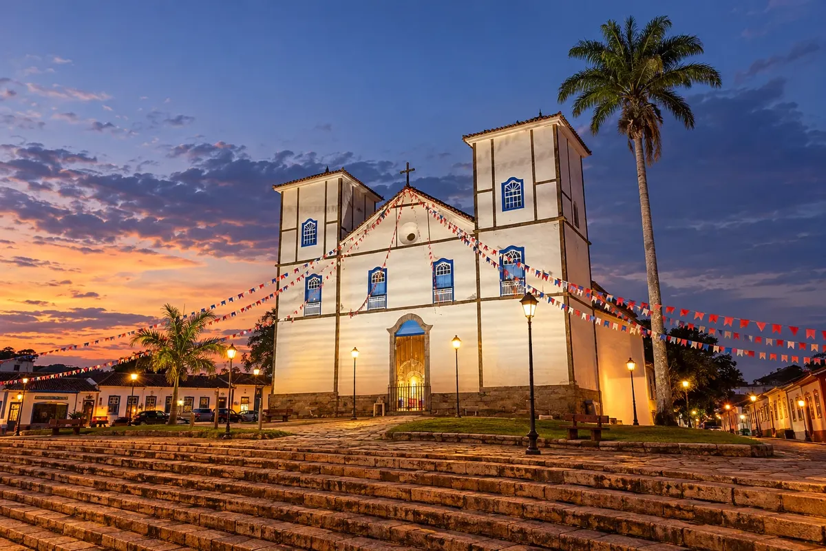
In the photo: Igreja Matriz Nossa Senhora do Rosário, Pirenópolis (GO)
Illustrative images. The pictures in this guide are illustrations based on the real place, not photographs, and may differ from it.

The state
Goiás occupies the heart of the Planalto Central and has the Cerrado as its main landscape. Large plateaus, veredas with buritis, canyons and waterfalls appear in the north. In the south, the warmth of the land heats the waters that made two whole towns famous. Between them lie villages born of 18th-century mining.
The Chapada dos Veadeiros is the most sought-after nature destination. Alto Paraíso de Goiás serves as a base, and the village of São Jorge sits at the gate of the Parque Nacional da Chapada dos Veadeiros, with trails to waterfalls, rapids and canyons. The Vale da Lua, with rocks carved by the river, is outside the park. Further north, Cavalcante is in the Kalunga territory, the country's largest quilombola territory, where the Cachoeira Santa Bárbara and other falls are only visited with a community guide. Colinas do Sul and Teresina de Goiás complete the region.
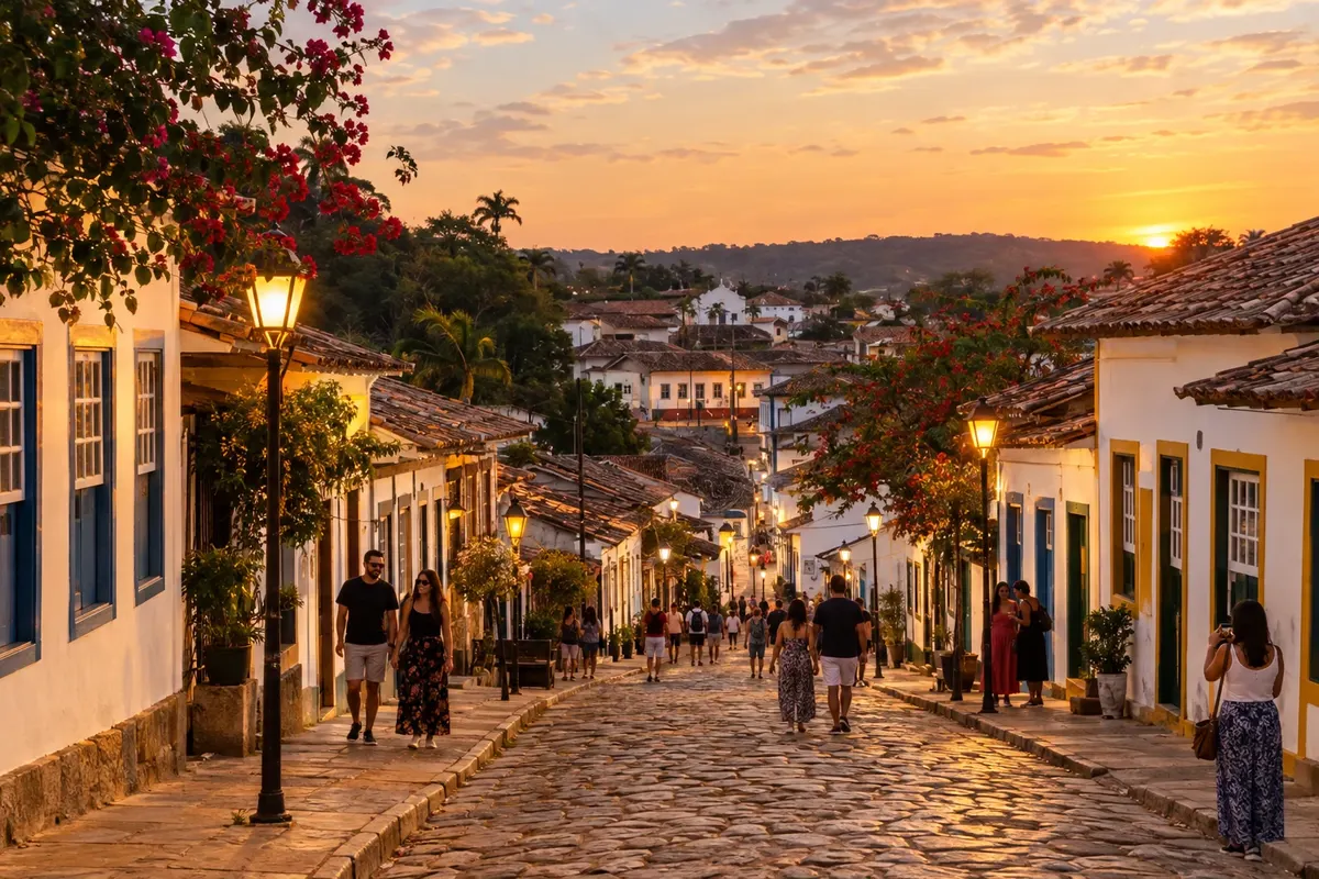
Pirenópolis preserves the houses and churches from the gold era, at the foot of the Serra dos Pireneus, and is the town of the Ouro e Cristais destination. There, the Festa do Divino Espírito Santo, recognized by Iphan as intangible heritage, brings together folias, masked figures and the Cavalhadas, a staged battle between Christians and Moors. Around the town, waterfalls on rural properties complete the itinerary.
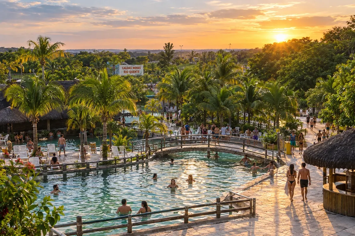
In Caldas Novas and Rio Quente, the trip revolves around the thermal pools, water parks and hotels with their own springs. The Parque Estadual da Serra de Caldas Novas protects the area that feeds this sheet of hot water and has short trails leading to waterfalls.
Goiânia, the capital, was planned in the 1930s and has an art-deco ensemble listed by Iphan, including the Cine Teatro Goiânia, the bandstand of Praça Cívica and the old railway station. On the Goiás table are empadão, pamonha, rice with pequi and galinhada, found both in the capital's restaurants and in interior towns.
Destinations
Cities
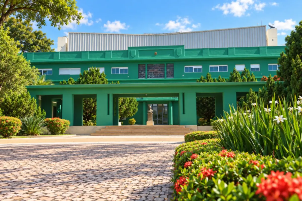
Goiânia combines city parks with a downtown marked by Art Deco architecture. Walks around the lakes and woods can be combined with visits to the capital's historic heritage and cultural spaces.
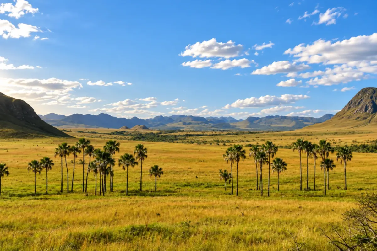
Alto Paraíso de Goiás brings together cerrado grasslands, veredas (palm-lined wetlands) and mountains in Chapada dos Veadeiros. The Jardim de Maytrea landscape reveals the buriti palms and hills that mark the roads between town and São Jorge.
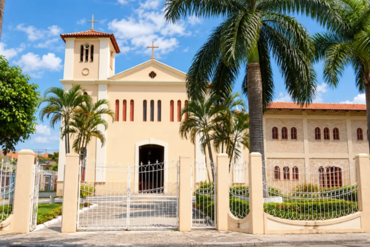
Caldas Novas brings together thermal waters, cerrado (Brazilian savanna) landscapes and heritage in the town center. The Igreja Matriz de Nossa Senhora das Dores (church) is part of the town's history and of daily life on Praça Mestre Orlando.
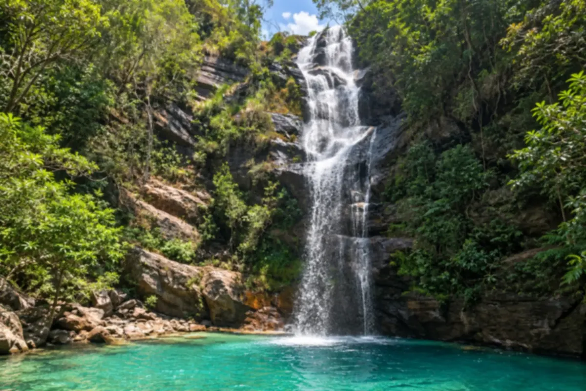
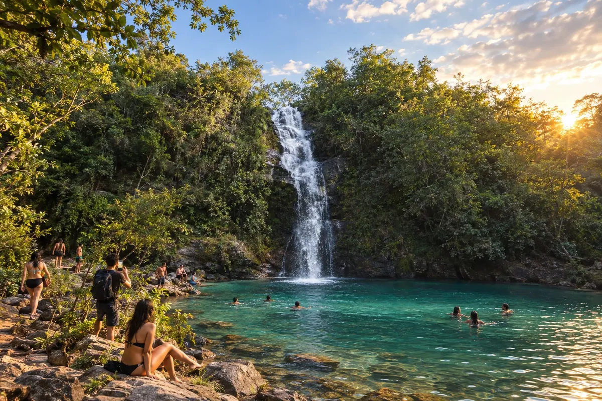
Cavalcante brings together waterfalls and cerrado landscapes tied to the history of the Kalunga communities. In Engenho II, the Cachoeira Santa Bárbara stands out for its pool of bluish water among rocks and vegetation.
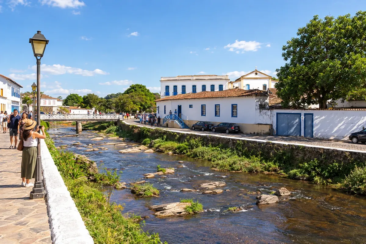
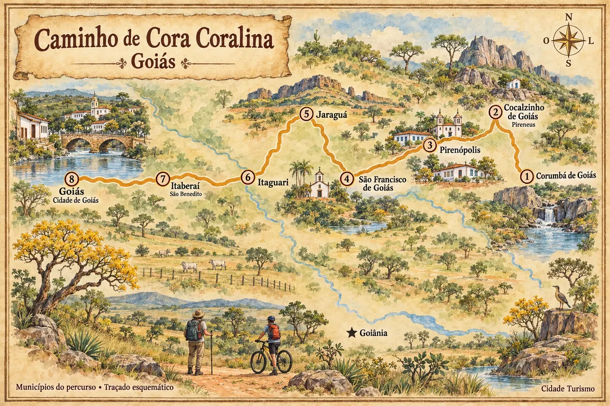
Cidade de Goiás, formerly Vila Boa, was the state capital and its historic center is recognized as a World Heritage Site. The Rio Vermelho runs through the streets and bridges of the ensemble, and the Museu Casa de Cora Coralina preserves the life and work of the writer. Arrival at the Casa Velha da Ponte marks the end of the Caminho de Cora Coralina.
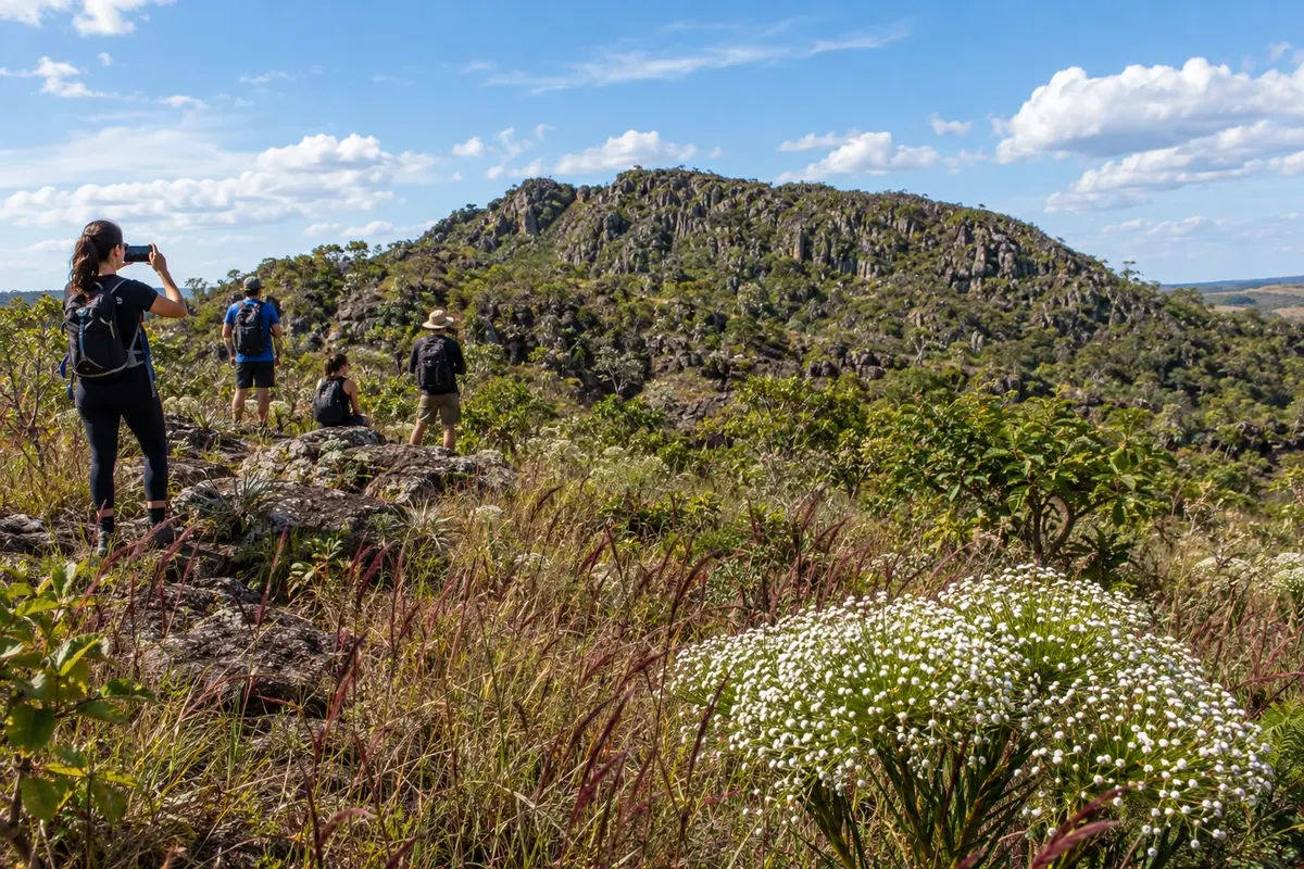
Cocalzinho de Goiás grew around the establishment of a cement factory and became independent in 1990. The Parque Estadual dos Pireneus preserves the rupestrian Cerrado and the Capela da Santíssima Trindade on the peak. The Caminho de Cora Coralina crosses this mountain landscape, with access through the municipal territory, without requiring passage through the urban center.
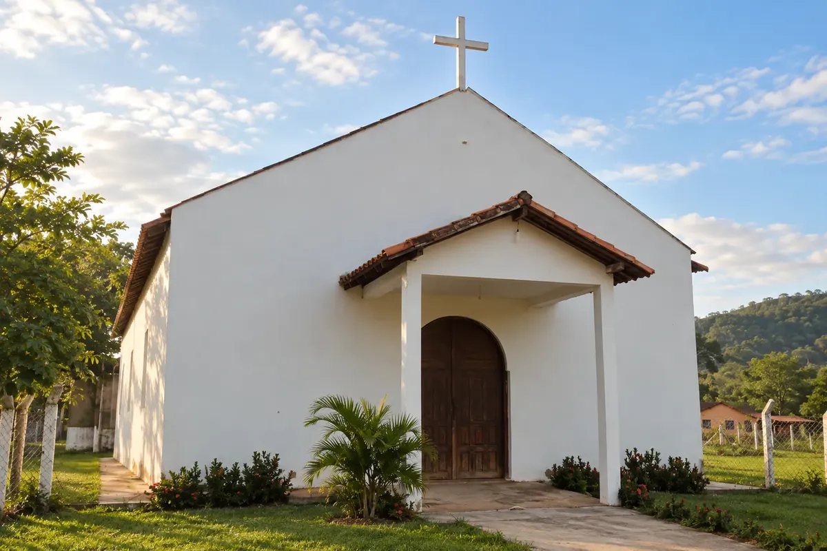
Colinas do Sul lies between Chapada dos Veadeiros and the Lago de Serra da Mesa, in northern Goiás. The cerrado landscapes and the spaces of the town center bring you closer to local traditions.
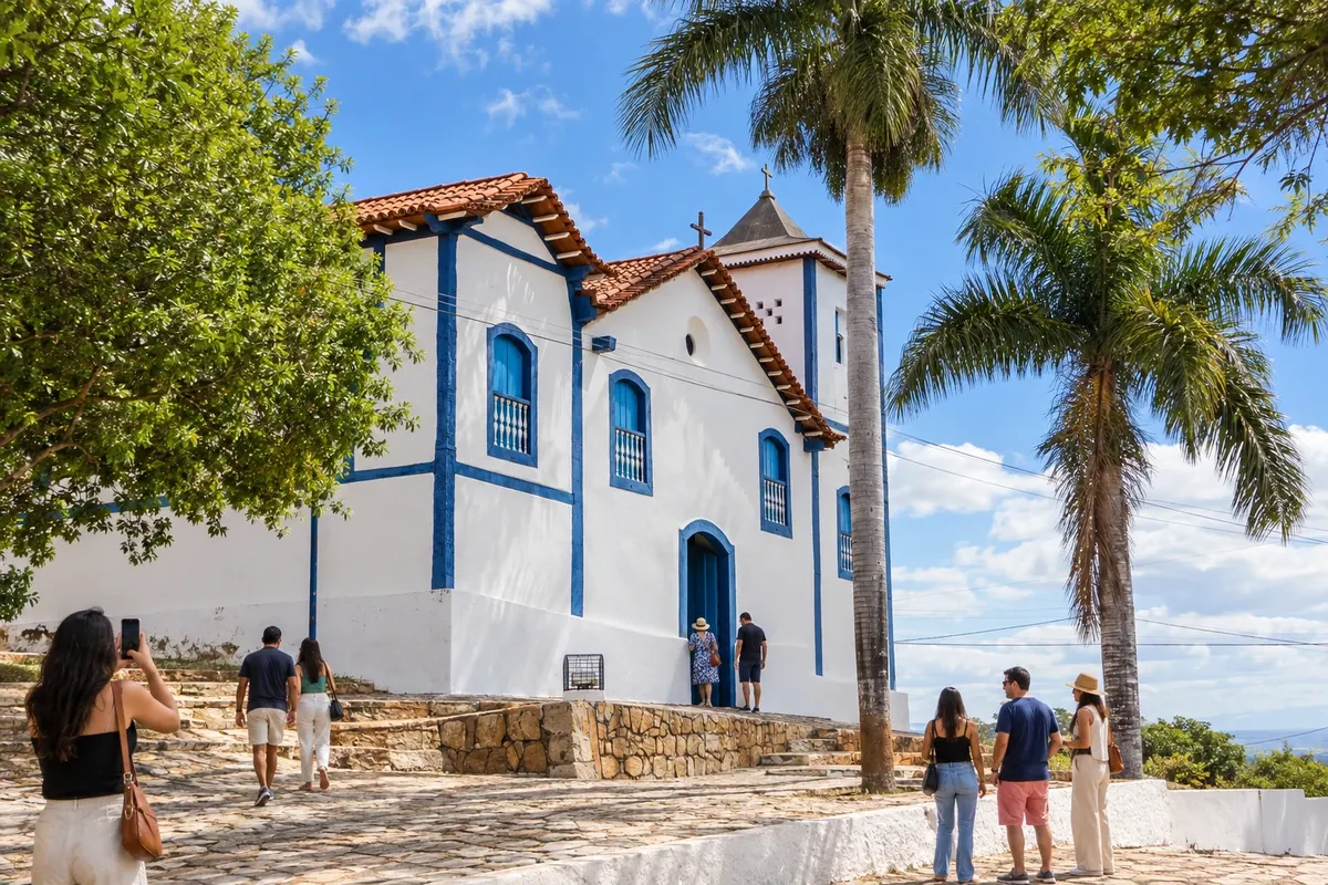
Corumbá de Goiás arose with mining along the Rio Corumbá and the Ribeirão Bagagem. The old-core houses and the Igreja Nossa Senhora da Penha de França preserve that memory, while the Cavalhadas are part of the local tradition. The praça da matriz marks the start of the Caminho de Cora Coralina for walkers and cyclists.
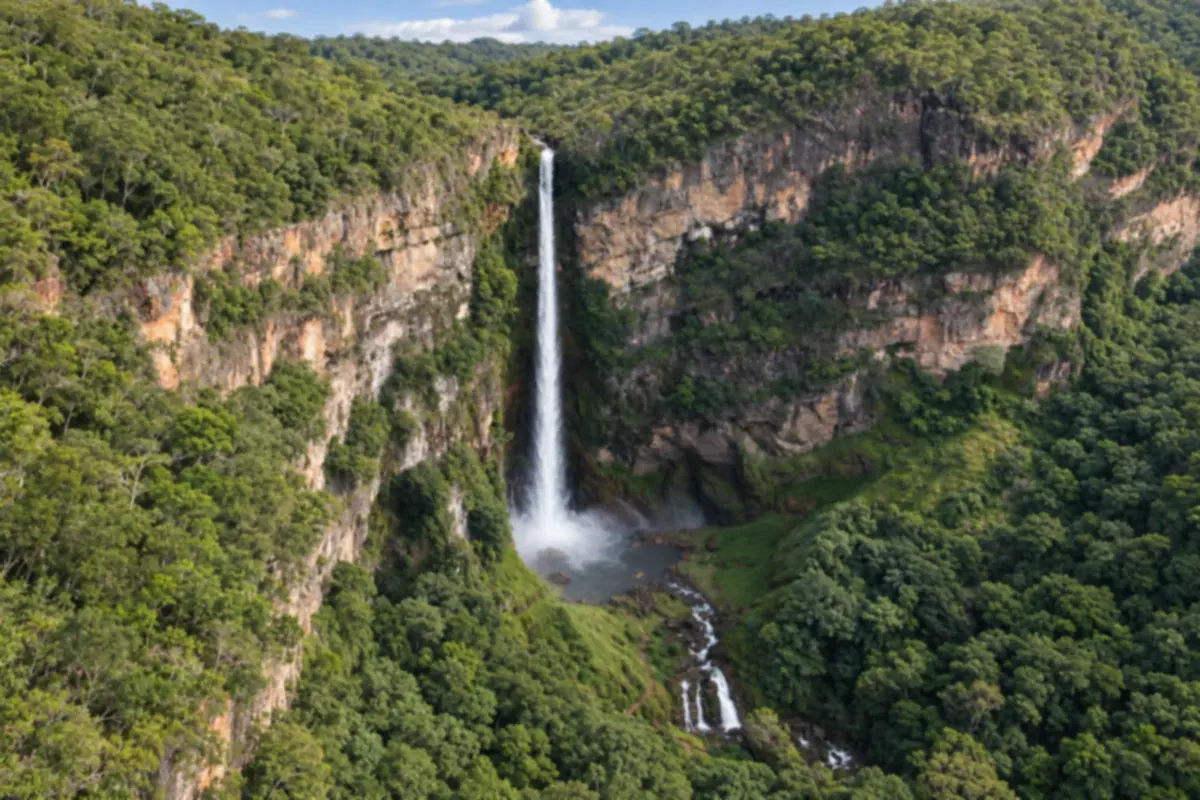
Formosa brings together waterfalls, caves and cerrado (Brazilian savanna) landscapes in northeastern Goiás, near the Federal District. The Salto do Itiquira stands out for its drop between cliffs and forest in the municipal park.
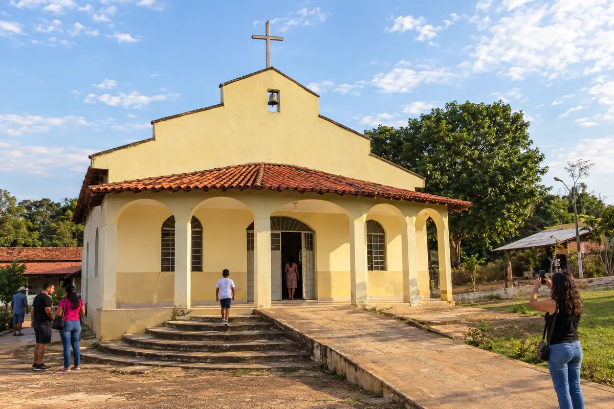
Itaberaí traces its origin to the former Curralinho, beside the Rio das Pedras. Its district of São Benedito, formerly called Olhos d’Água, is known for producing polvilho (cassava starch) and is traversed by the Caminho de Cora Coralina. The hike and the bike route go through the municipality's rural area; visiting the town center is an additional outing, off the main trail.
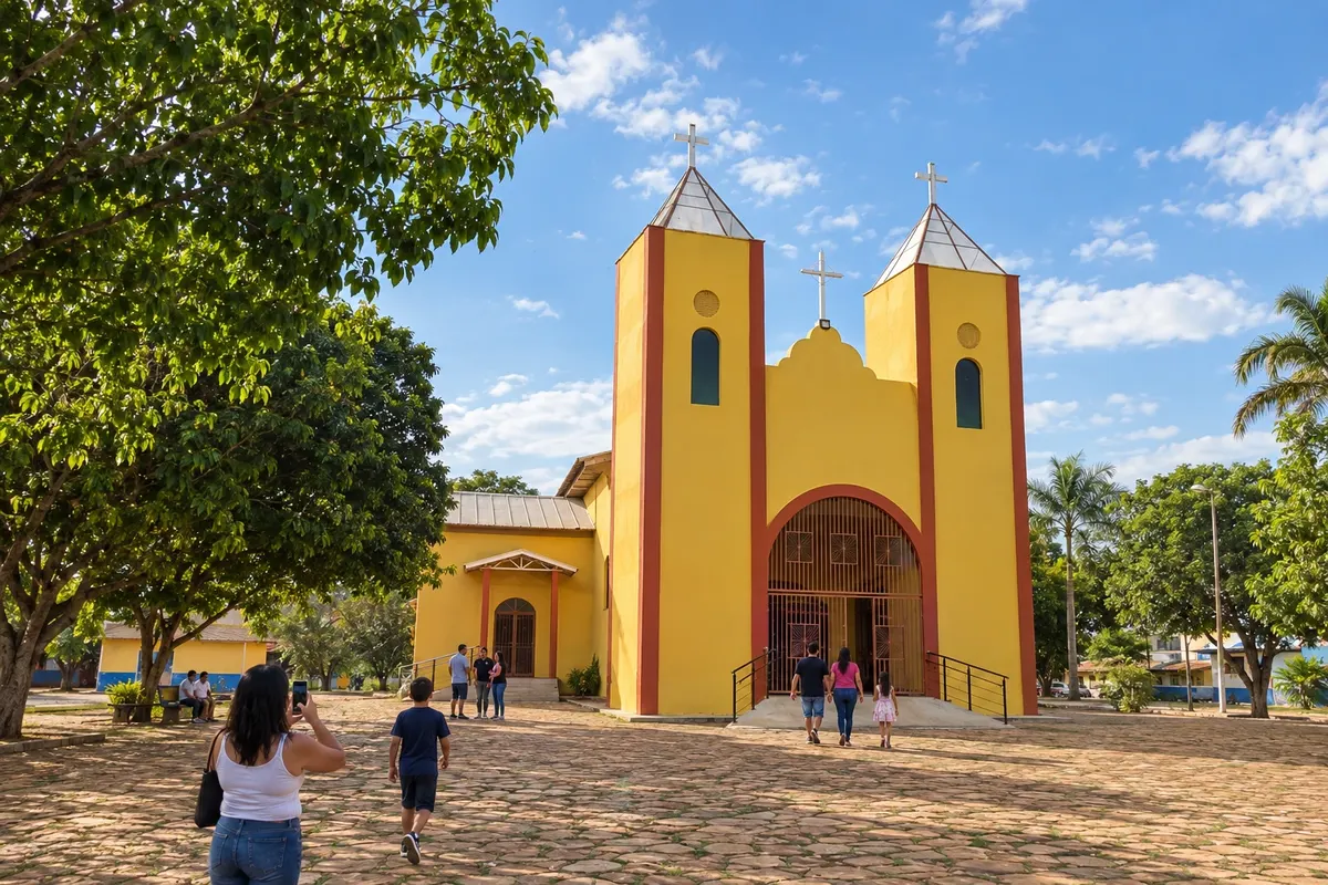
Itaguari was formed from the settlement of Campestre and has lingerie manufacturing among its known activities. The Igreja São Sebastião and the Folia de Reis groups are part of the municipal identity. The Caminho de Cora Coralina approaches through agricultural areas and follows dirt roads; water and lodging should be arranged before setting out.
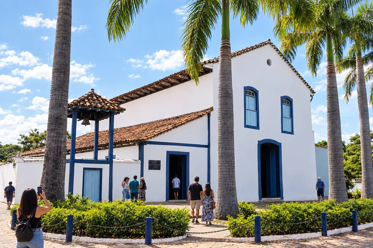
Jaraguá combines the heritage of the churches of Nossa Senhora do Rosário and Nossa Senhora da Conceição with clothing production that shapes its economy. The Museu Histórico Municipal presents local memory, and the Serra de Jaraguá offers views of the Cerrado. The crossing along the Caminho de Cora Coralina climbs the range before reaching the municipality's villages.
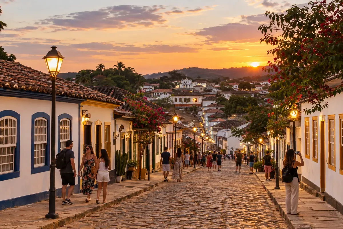
Pirenópolis brings together historic houses, churches and nature in the Goiás Cerrado. The center allows walking among façades and cultural spaces, while Cachoeira do Abade expands the itinerary into the rural area. The trip combines city breaks with a full day for the waterfall.
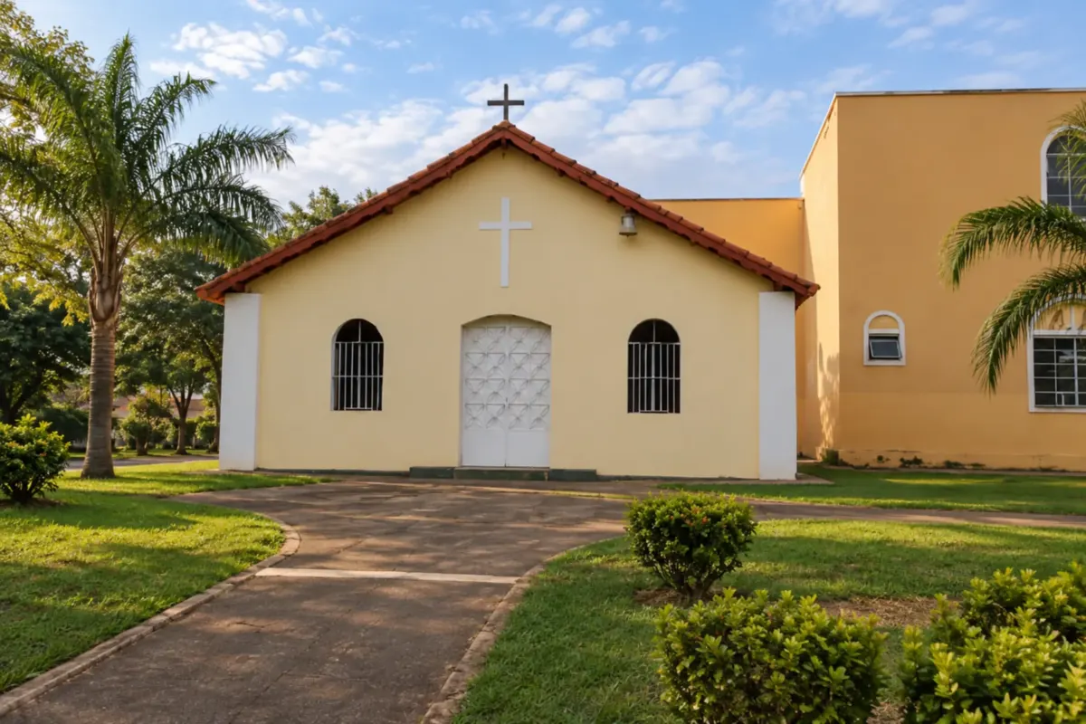
Rio Quente's history is tied to the thermal waters and landscapes of southern Goiás. In the town center, squares and the Paróquia São Sebastião (parish church) are community gathering places and landmarks.
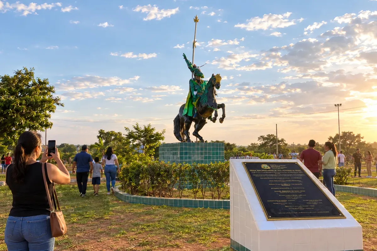
São Francisco de Goiás maintains the Cavalhadas and the Praça das Cavalhadas as landmarks of its cultural life. The landscapes of the Loredo and Chibio ranges appear in the rural approaches of the Caminho de Cora Coralina. The town center offers a pause to prepare the stage on foot or by bicycle that follows the Rio Pari valley.
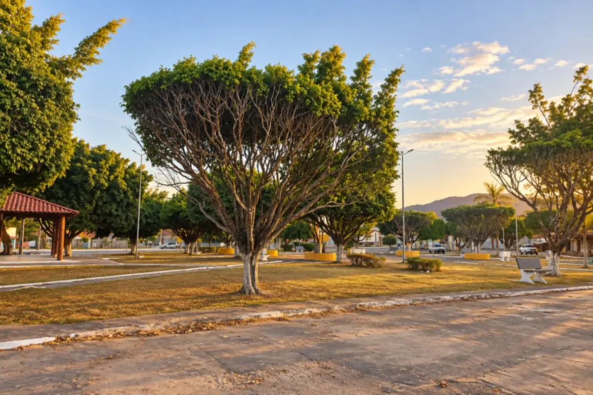
Teresina de Goiás is part of the Chapada dos Veadeiros region and has ties to Kalunga culture. Praça Tiradentes and the spaces in the center give you a taste of daily life in this small town.
Routes
The climate follows the rhythm of the Cerrado. From October to March it rains a lot, waterfalls run full and there is a risk of flash floods in the rivers of the Chapada dos Veadeiros; some pools, like the Vale da Lua, may close. From May to September it's the dry season, with clear skies, firm trails and cold nights at higher elevations. Caldas Novas and Rio Quente receive visitors year-round, with more activity in July and on holidays. The Festa do Divino in Pirenópolis culminates on Pentecost Sunday, between May and June.
Santa Genoveva Airport, in Goiânia, is the main air gateway to Goiás. For the Chapada dos Veadeiros and Pirenópolis, many travelers arrive via Brasília International Airport, in the Federal District. Caldas Novas has its own airport, with a limited flight offering. By road, the BR-060 links Brasília to Goiânia, and the BR-153 crosses Goiás from north to south. The GO-118 takes you from Brasília to Alto Paraíso, just over 200 km, and the GO-239 continues to São Jorge. Pirenópolis is about 130 km from Goiânia via Anápolis, and about 150 km from Brasília. Caldas Novas is roughly 170 km from Goiânia.
Your questions
The park's main trails, with access via São Jorge, are marked and can be done independently after receiving instructions at the visitor center. Some have a daily visitor limit and fill up on holidays. Hiring a licensed guide helps on long trails and with reading the weather during the rains. Outside the park, each attraction has its own rules; in the Kalunga territory in Cavalcante, a community guide is mandatory.
São Jorge is at the entrance to the national park and is convenient for those who want to do its trails. Alto Paraíso has more commercial infrastructure and restaurants and is midway between the attractions. Cavalcante is the best base for the northern waterfalls and the Kalunga communities. With four or five days, it's worth splitting your stay between two bases.
At least four days. That allows time for the national park trails, the Vale da Lua and a day in Cavalcante for the Cachoeira Santa Bárbara. With a week you can include more distant waterfalls and rest days between strenuous hikes.
Yes. The pools are fed by natural thermal waters that retain their temperature even in winter. That's why the region operates in every season, and the cool nights of June and July make bathing even more popular.
They are part of the Festa do Divino Espírito Santo, which lasts for weeks and culminates on Pentecost Sunday, between May and June. The date changes each year because it depends on Easter. The town fills up during this period, so book accommodation in advance.
Yes, leaving from Brasília or Goiânia, but the historic center and a waterfall already take up the whole day. If you want to explore the Serra dos Pireneus and see the town's houses at a relaxed pace, it's worth staying overnight.
Empadão goiano, with chicken, sausage, cheese and guariroba; pamonha, sweet or savory; rice with pequi; and galinhada. Try pequi carefully: do not bite the pit, as it has fine spines inside. Syrup-soaked sweets and liqueurs are common in the historic towns.
Mapa: @svg-maps/brazil, CC BY 4.0