Capital

State · North
The country's largest state by area, Amazonas is traversed by rivers. Almost every trip starts in Manaus, on the banks of the Rio Negro.
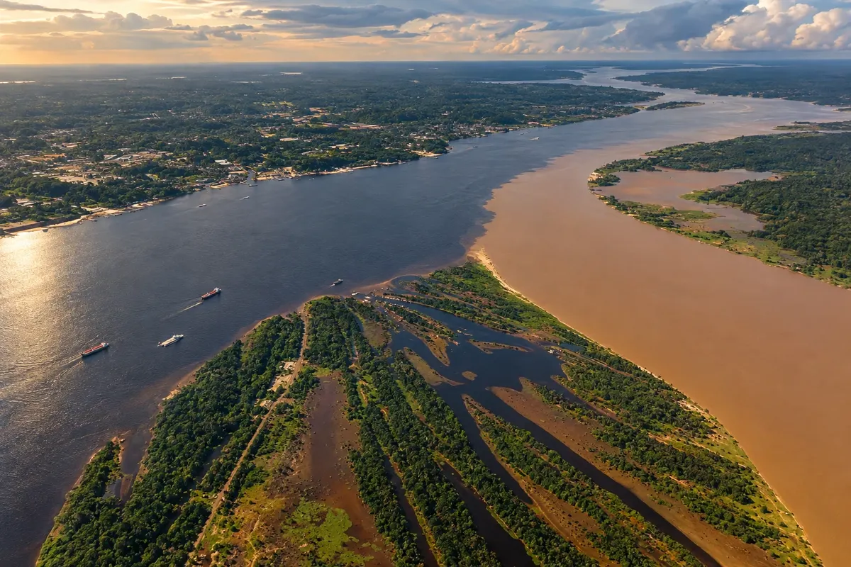
In the photo: Encontro das Águas of the rivers Negro and Solimões, region of Manaus (AM)
Illustrative images. The pictures in this guide are illustrations based on the real place, not photographs, and may differ from it.

The state
Most of Amazonas's territory is covered by forest. Distances are measured in hours by boat: many towns have no road connection to the capital, and the pace of travel follows the rivers' levels, which rise and fall several meters throughout the year.
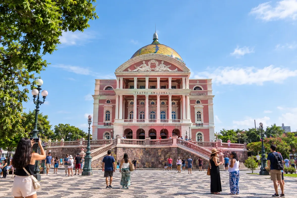
Manaus grew at the height of the rubber boom, between the late 19th and early 20th centuries. From that period remain the Teatro Amazonas, the Largo de São Sebastião, the Palacete Provincial and the Mercado Adolpho Lisboa, on the banks of the Rio Negro. The forest also reaches into the city at the Bosque da Ciência and the Museu da Amazônia, which has an observation tower above the treetops.
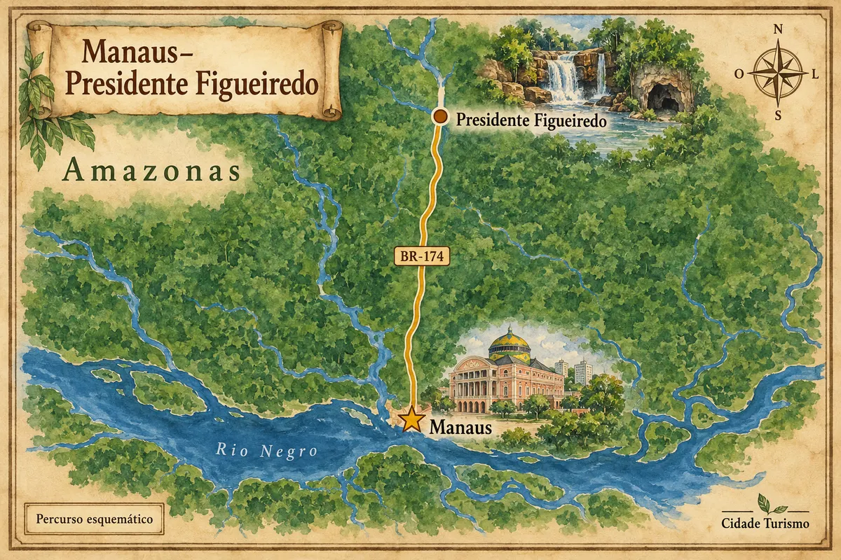
Boat tours depart from the capital's port. The most sought-after is the Encontro das Águas, where the dark Rio Negro runs alongside the muddy Solimões for kilometers before they mix. Upstream, Novo Airão is the base for the Anavilhanas archipelago, a maze of islands in the Negro. Across the bridge over the river you reach Iranduba, with beaches that appear during the low water. To the north, along the BR-174, Presidente Figueiredo has waterfalls and caves in the middle of the forest.
In Parintins, in the lower Amazonas, the festival of the bois Garantido and Caprichoso takes over the town at the end of June. Access is by boat or plane from Manaus, and many people stay on the boats themselves.
On the table, fish rules. Grilled tambaqui, tucunaré stew and pirarucu are on any menu. Tacacá, served in a cuia with tucupi, jambu and shrimp, is sold late in the afternoon. At breakfast, the x-caboquinho combines bread, tucumã, queijo coalho and fried banana.
Destinations
Cities
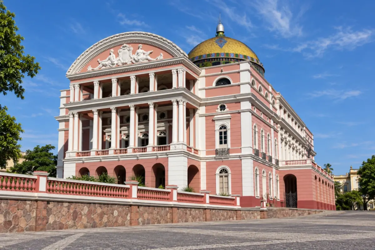
Manaus brings together rubber-boom heritage and Amazon scenery on the banks of the Rio Negro. Teatro Amazonas, the markets and the cultural venues of the historic center tell different chapters of the state capital's story.
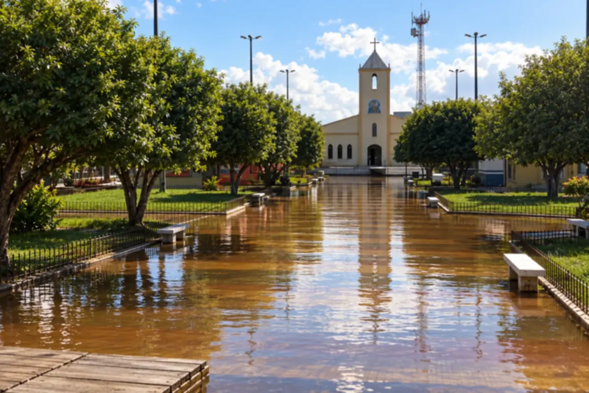
Careiro da Várzea's landscape is shaped by rivers and the Amazon's flood cycle. The riverside town, its communities and the floodplains reveal ways of life tied to the water and to farming.
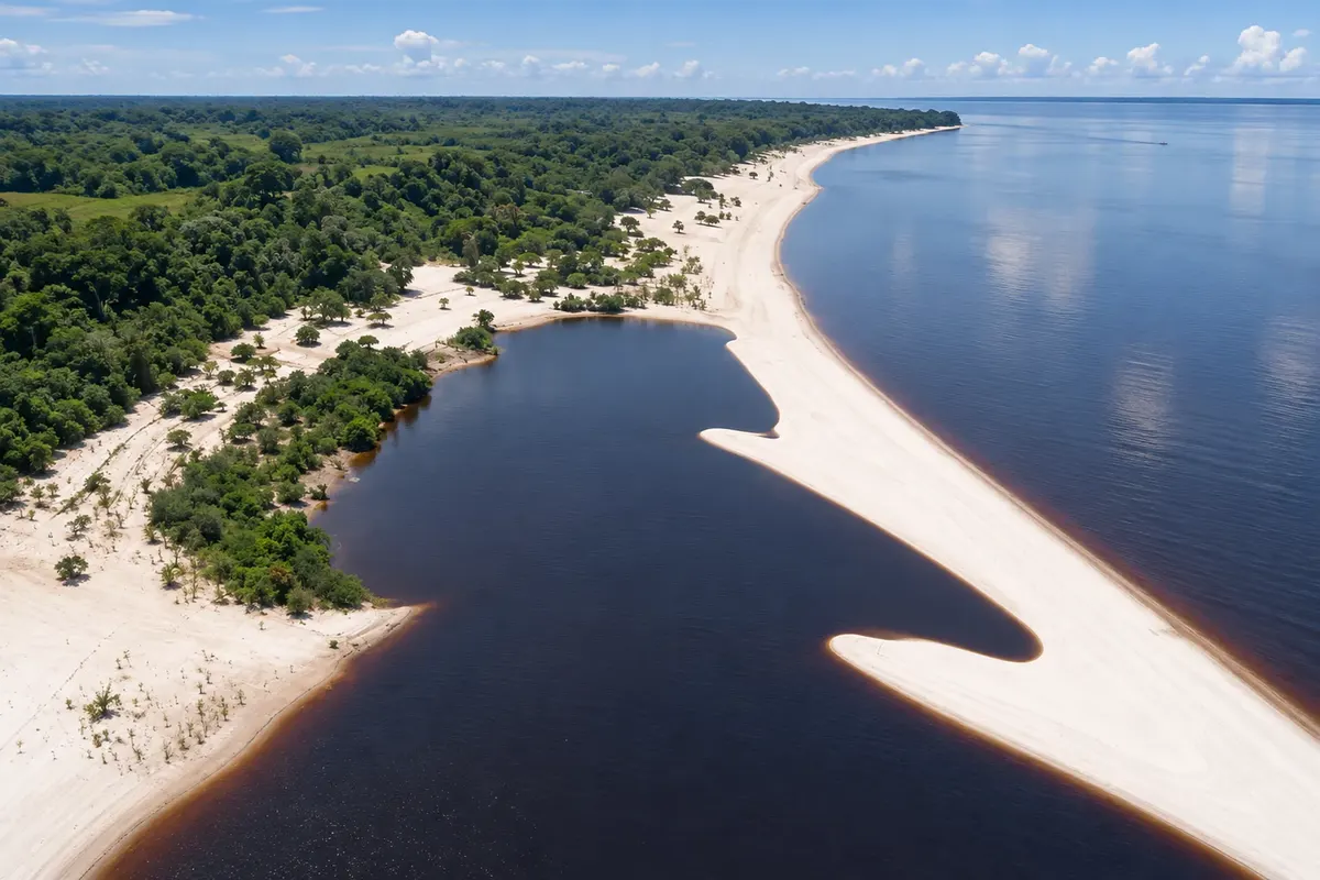
Iranduba lies between the Rio Negro and the Solimões River and combines forest and river-beach scenery. In the low-water season, the sands of Açutuba show one side of the municipality, which is linked to Manaus by the bridge over the Rio Negro.
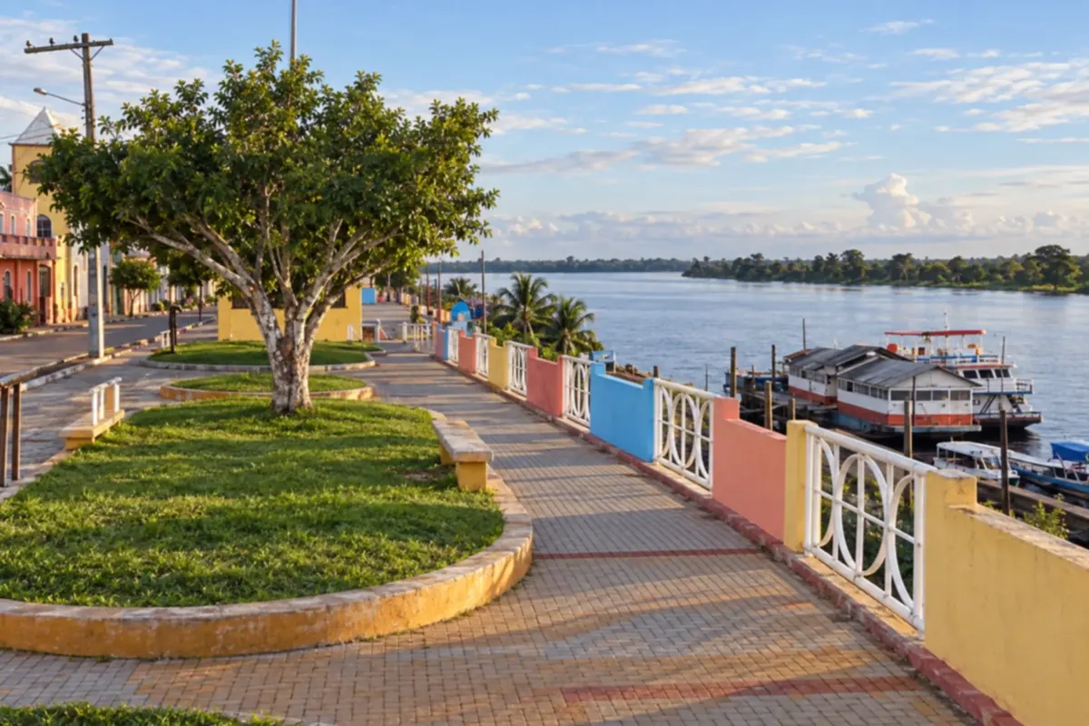
Novo Airão sits on the banks of the Rio Negro and is one of the gateways to the Anavilhanas archipelago. Riverside life, local crafts and boat trips through the channels bring you close to the Amazon rainforest.
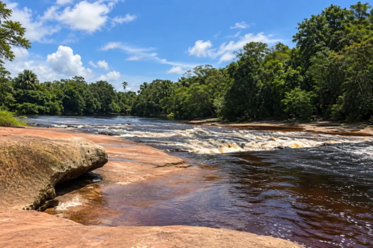
Presidente Figueiredo is known for its waterfalls, caves and rivers surrounded by Amazon rainforest. The Urubuí rapids and the area's trails show how water and rock formations shape each other.
Routes
It rains year-round, but the wettest season runs from December to May. The Rio Negro rises to its flood peak around June, when the flooded forest can be explored by canoe. During the low water (vazante), between September and November, white-sand river beaches appear and trails dry out; in years of severe drought, shallow channels can prevent some excursions. The heat is constant. The Festival de Parintins takes place at the end of June, and the Festival Amazonas de Ópera occupies the Teatro Amazonas around May.
Manaus–Eduardo Gomes International Airport is in the capital and concentrates the state's flights. By land, the BR-174 links Manaus to Presidente Figueiredo and continues to Boa Vista in Roraima. The BR-319 toward Porto Velho has long unpaved stretches. The bridge over the Rio Negro leads to Iranduba and the roads to Manacapuru and Novo Airão. For the interior, the most common transport is regional boats and launches that depart from the ports of Manaus.
Your questions
The yellow fever vaccine is recommended for those going to the Amazônia. Get it at least ten days in advance—the time needed for protection to begin—and bring your vaccination record.
By plane or by boat from Manaus. The regional boat descends the Rio Amazonas in about a day, with hammocks or cabins, and takes longer on the return. During the festival, hotels and guesthouses fill up early and many boats serve as accommodation. Book months in advance.
It usually takes half a day, departing from the Manaus port. Many itineraries include a stop at a community or a lake with vitórias-régias on the same day.
In Novo Airão, on the banks of the Rio Negro, a floating platform receives visitors to see the botos-cor-de-rosa, with contact rules and a limited number of people at a time. Some tours in Anavilhanas also include stops to see botos.
During the low water (vazante), between September and November. At that time Ponta Negra and the beaches of Iranduba and along the Rio Negro have wide stretches of sand. In the high water (cheia), much of them are submerged.
Yes. The municipality is a little over one hundred kilometers north along the BR-174. In a day you can visit two or three waterfalls; to explore caves and rapids at leisure, stay at least one night.
Light, quick-drying clothing, a rain jacket, insect repellent, a hat and closed shoes. In the forest, long pants and long sleeves protect against insects. A light sweater or jacket helps on boats and in places with strong air conditioning.
Mapa: @svg-maps/brazil, CC BY 4.0