Garden Route

Cabo Ocidental · Cabo Oriental · South Africa

Garden Route

The coastal road between Mossel Bay and Tsitsikamma: lagoons, yellowwood forests, beaches, the Robberg peninsula, the Cango Caves and the mountain passes of the Karoo.

Cidade do Cabo e Cabo Ocidental

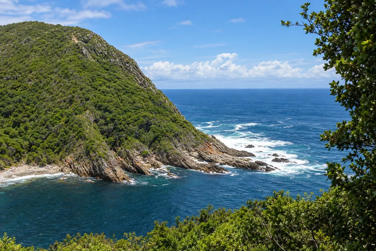
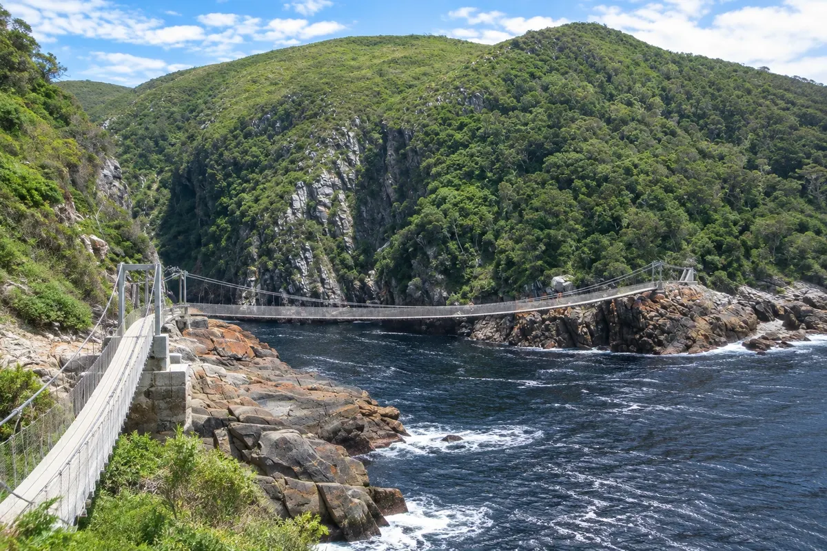
In the photo: Mouth of the Storms River, Tsitsikamma

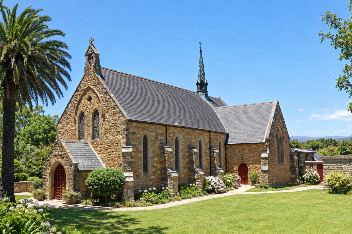
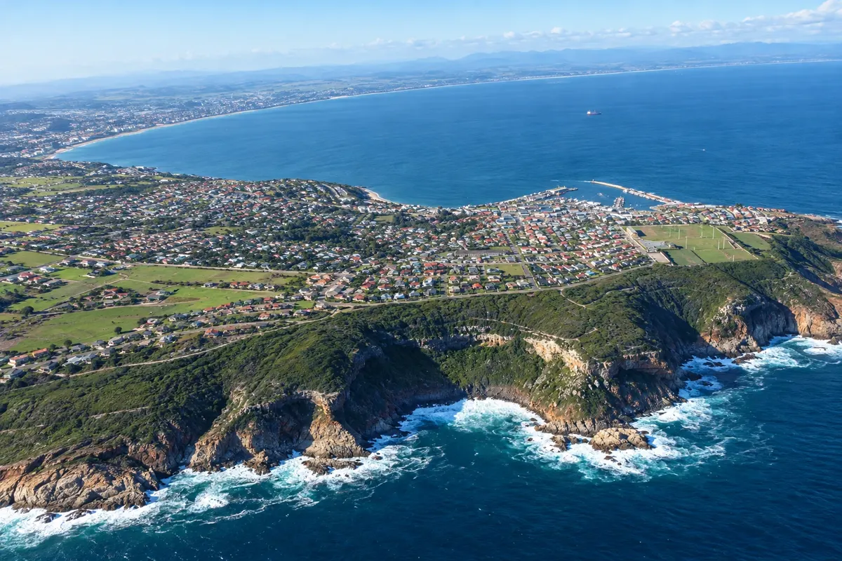
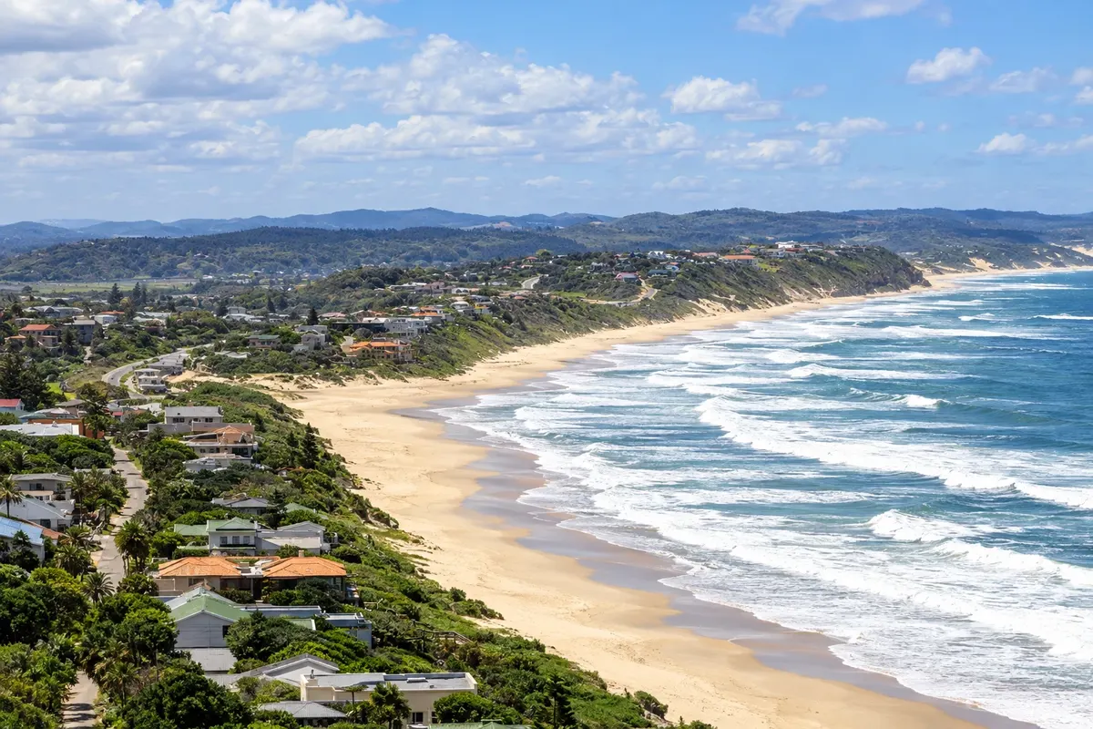
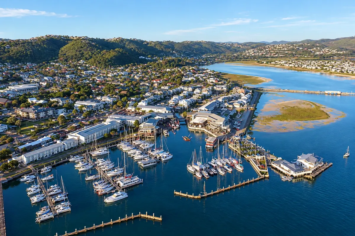
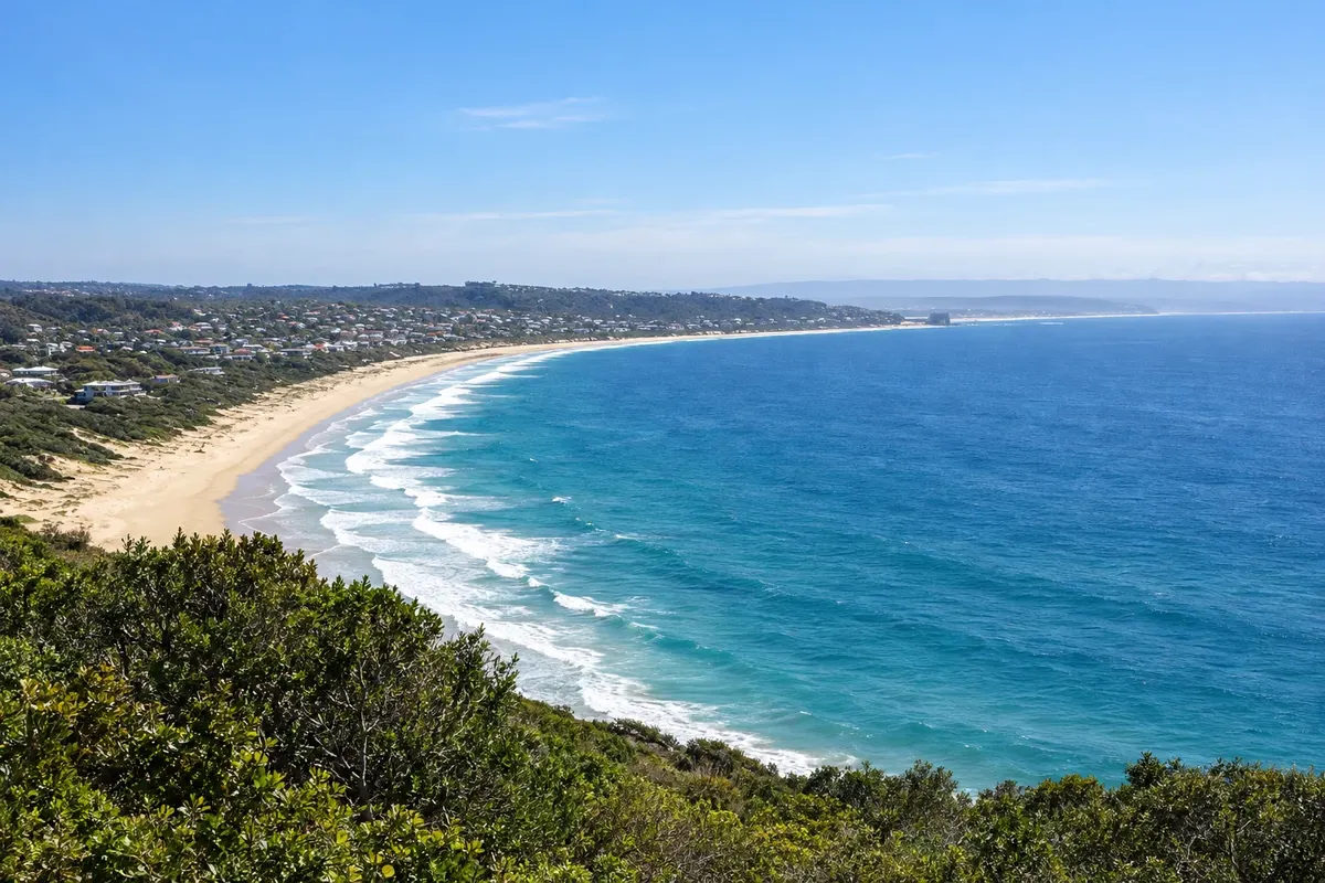
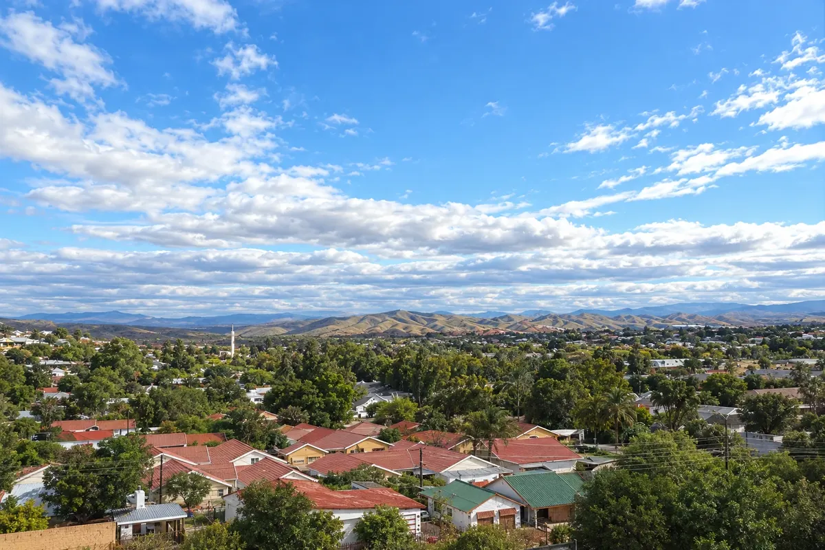
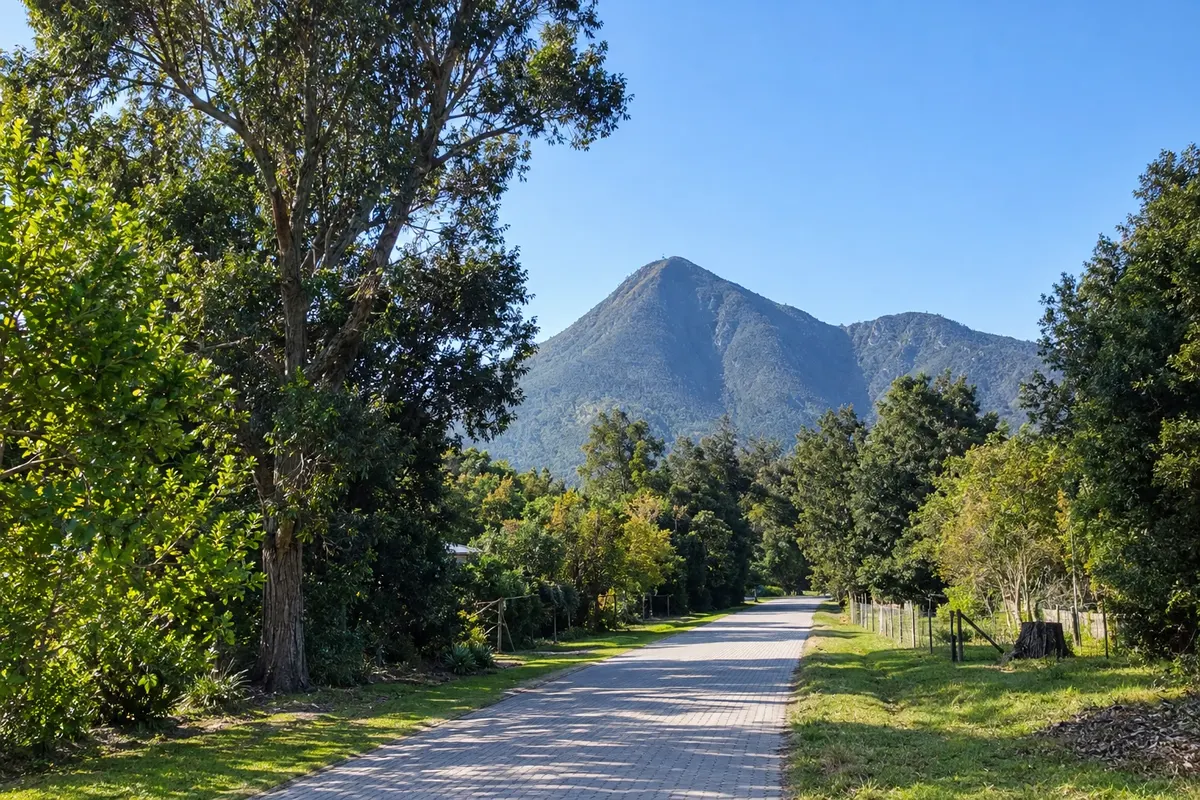
Illustrative images. The pictures in this guide are illustrations based on the real place, not photographs, and may differ from it.

Get it on Google Play Send your photos

Get to know the place

A region to enjoy
at your own pace.

The Garden Route is the roughly 200 km section of the N2 highway between Mossel Bay and the mouth of the Storms River in southern South Africa. On one side are the Outeniqua and Tsitsikamma mountains; on the other, the Indian Ocean, with lagoons, rivers, long beaches and cliffs. In between is the country’s largest area of native forest, with yellowwoods up to 800 years old. Much of the coast and forest forms the Garden Route National Park, which includes the Wilderness, Knysna and Tsitsikamma areas.

History is present here too. In the Pinnacle Point and Cape St Blaize caves in Mossel Bay, some of the oldest evidence of modern human behaviour has been found.

Each town has a role. George has the airport and the historic mountain passes. Wilderness sits between lagoons and the sea. Knysna spreads around a lagoon closed off by two rocks, the Heads. Plettenberg Bay has the most popular beaches and the Robberg peninsula. On the far side of the mountains, Oudtshoorn is ostrich country, home to the Cango Caves and the Swartberg Pass. At the end of the route, in the Eastern Cape, Storms River gives access to Tsitsikamma and the suspension bridge over the river mouth.

Distances between towns are short, 30–60 km. The climate is mild year-round, with rain spread through the seasons.

This destination brings together 7 cities: George, Mossel Bay, Wilderness, Knysna, Plettenberg Bay, Oudtshoorn, Storms River.


Share: WhatsApp
Traveler, share your experiences through photos Up to 5 photos of each place you visited.

One destination, many paths

The cities on this trip

Start with one city or combine several in your itinerary.

Where Garden Route is
OudtshoornKnysnaPlettenberg BayWildernessMossel BayGeorgeStorms River

Limites: South African Municipal Demarcation Board / OCHA ROSEA / geoBoundaries (CC BY 3.0 IGO). Adaptação do Cidade Turismo.

How to get there: Garden Route

✈ Aeroporto de George (GRJ) · 10 km to George

Confirm before booking. Within the country, flights link Johannesburg and Cape Town to George Airport (GRJ), at the start of the route. By car, Cape Town to Mossel Bay is about 390 km via the N2, and Gqeberha to Storms River about 170 km.

Suggested arrival point: George

The local experience

Things to do in Garden Route

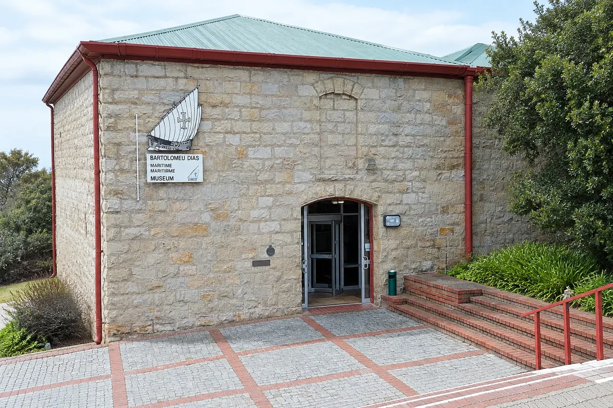
Bartolomeu Dias Museum Complex
Mossel Bay · Cabo Ocidental · Museum

Bartolomeu Dias Museum Complex

Museum with a full‑size replica of Bartolomeu Dias’s caravel and the 1500 post tree, linked to Pedro Álvares Cabral’s fleet.

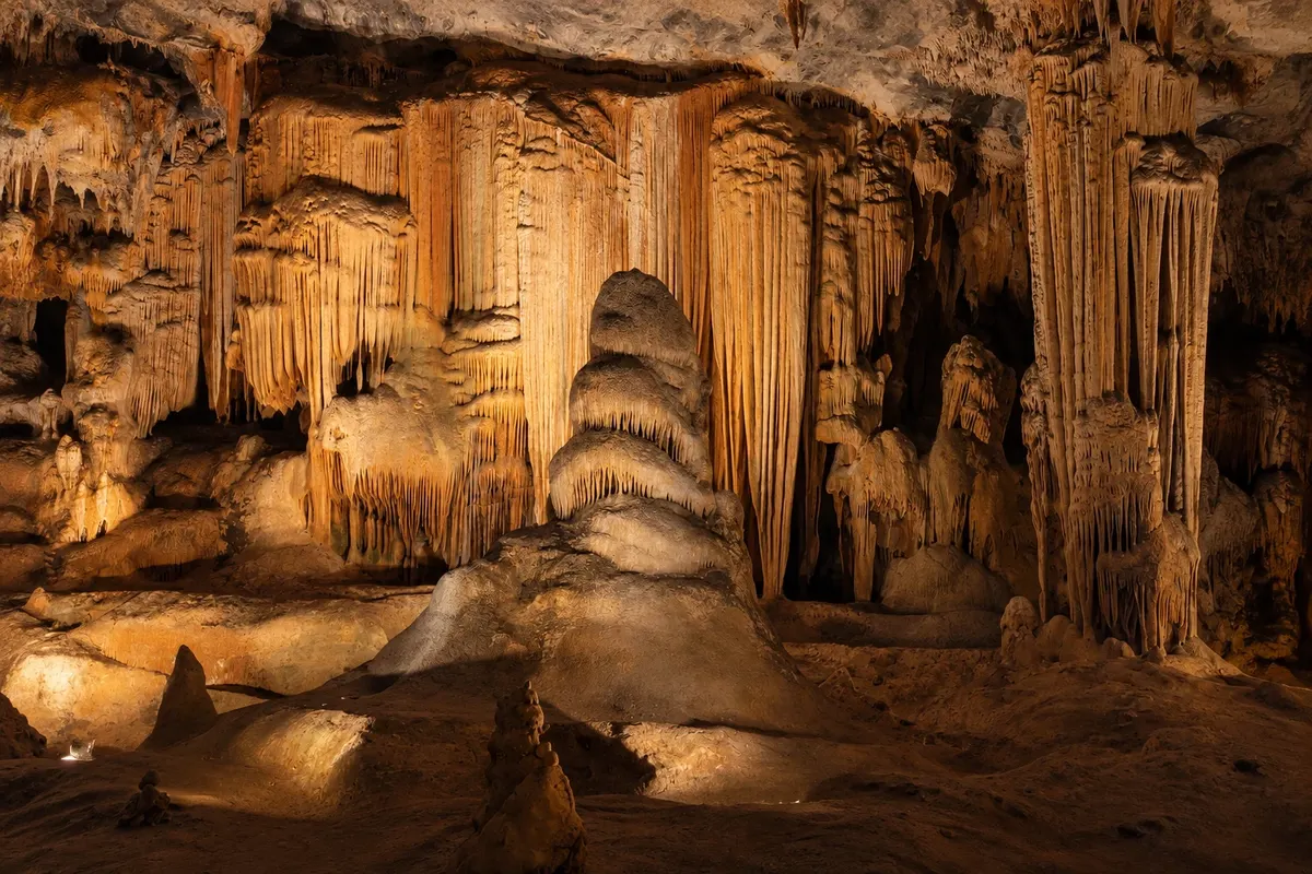
Cango Caves
Oudtshoorn · Cabo Ocidental · Cave

Cango Caves

Limestone caves at the foot of the Swartberg range, with huge chambers of stalactites and stalagmites, visited only with a guide.

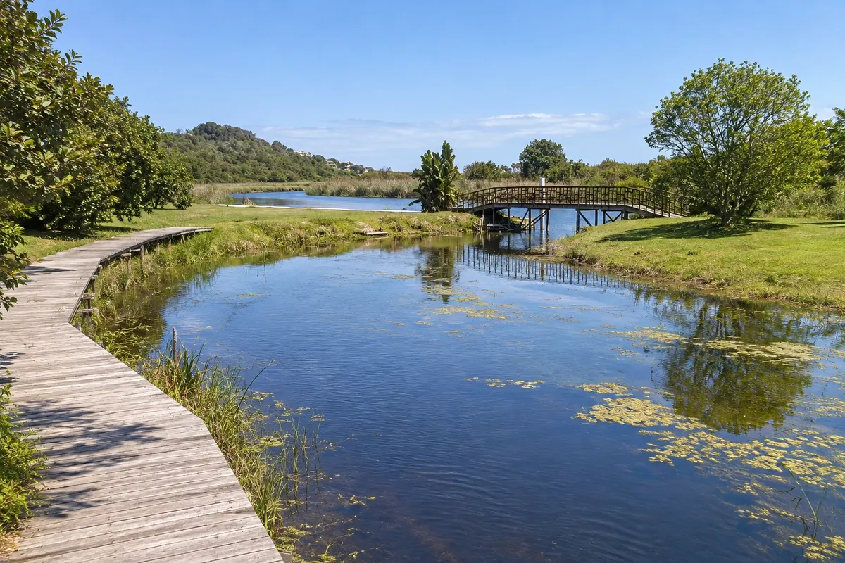
Garden Route National Park - Wilderness
Wilderness · Cabo Ocidental · National park

Garden Route National Park - Wilderness

National park area with lakes, the Touw River and trails through native forest to waterfalls, plus canoeing and birdwatching.

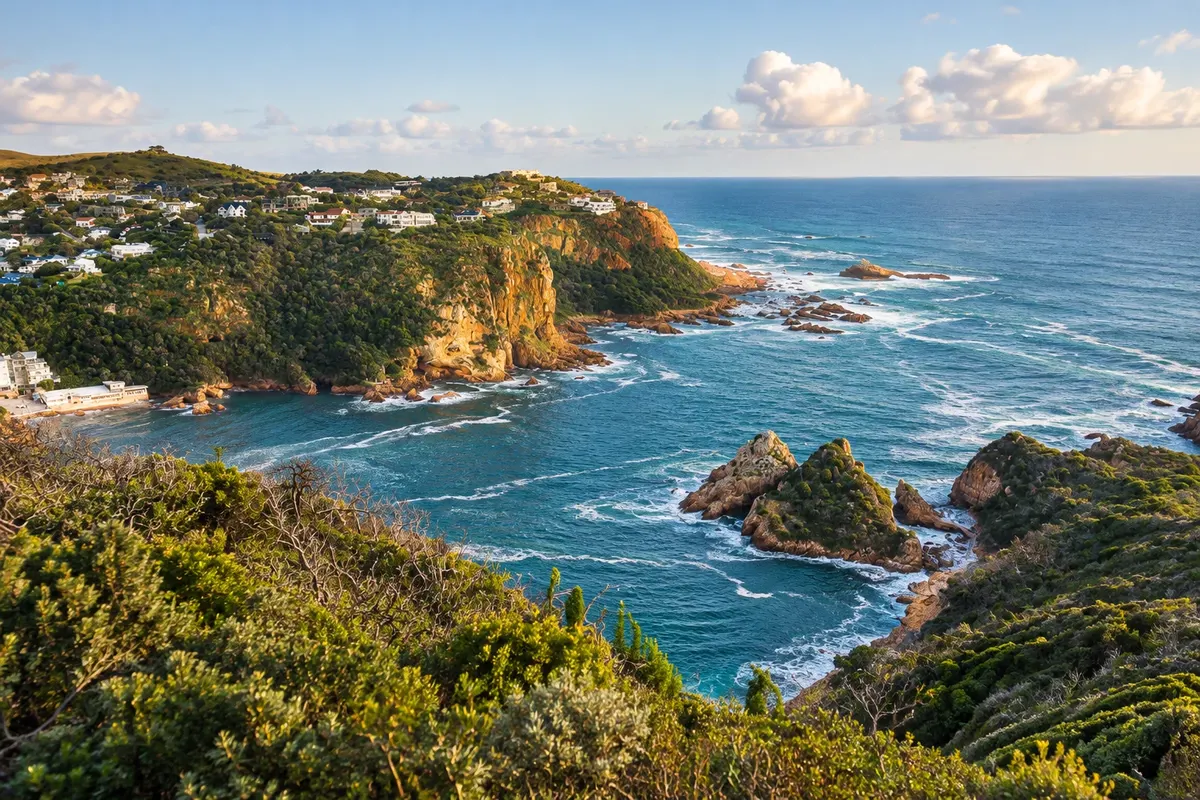
Knysna Heads
Knysna · Cabo Ocidental · Viewpoint

Knysna Heads

Two sandstone rocks that close Knysna Lagoon, with a lookout at East Head and a narrow, rough passage to the sea.

See 11 more places in Garden Route
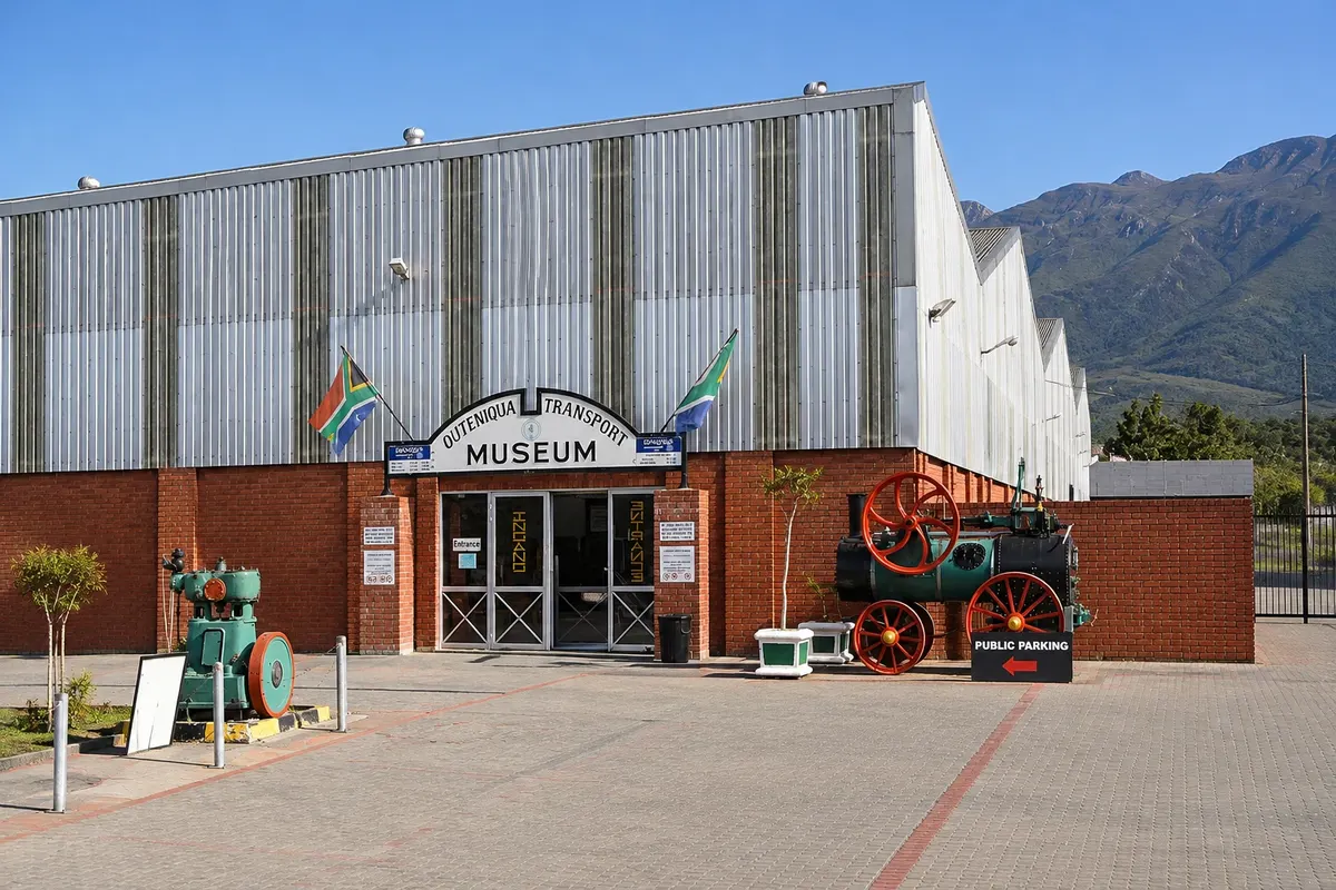
Outeniqua Transport Museum
George · Cabo Ocidental · Museum

Outeniqua Transport Museum

George railway museum with steam locomotives, vintage carriages, a 1947 Royal Train coach and road vehicles.

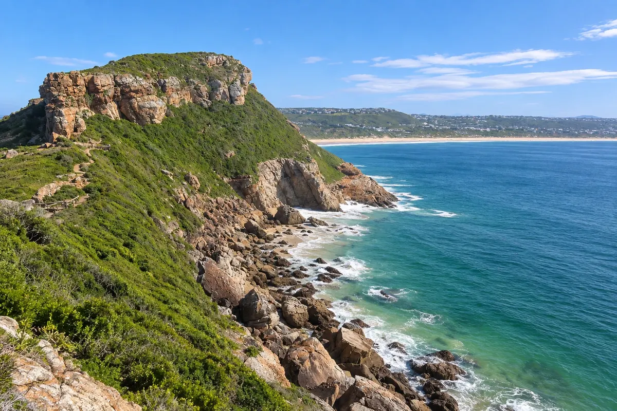
Robberg Nature Reserve
Plettenberg Bay · Cabo Ocidental · Nature reserve

Robberg Nature Reserve

Cliff peninsula at the tip of Plettenberg Bay, with sea-side trails, a seal colony and archaeological sites.

Storms River Mouth
Storms River · Cabo Oriental · National park

Storms River Mouth

Storms River mouth in Tsitsikamma, with a 77-metre suspension bridge over the sea, trails in the coastal forest and the start of the Otter Trail.

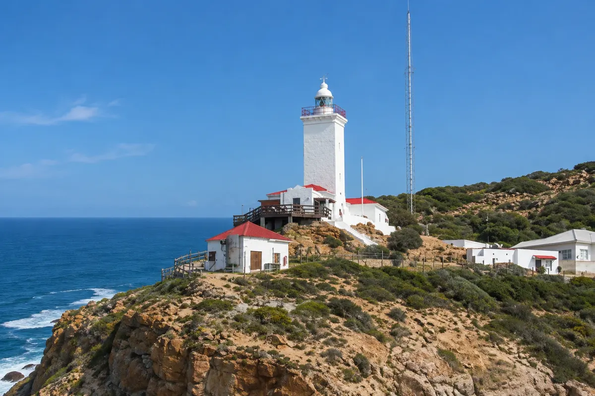
Cape St Blaize Cave e Lighthouse
Mossel Bay · Cabo Ocidental · Archaeological site

Cape St Blaize Cave e Lighthouse

Sea‑edge cave beneath the 1864 lighthouse, used by humans more than 100,000 years ago, at the start of Mossel Bay’s cliff trail.

Central Beach e Beacon Isle
Plettenberg Bay · Cabo Ocidental · Beach

Central Beach e Beacon Isle

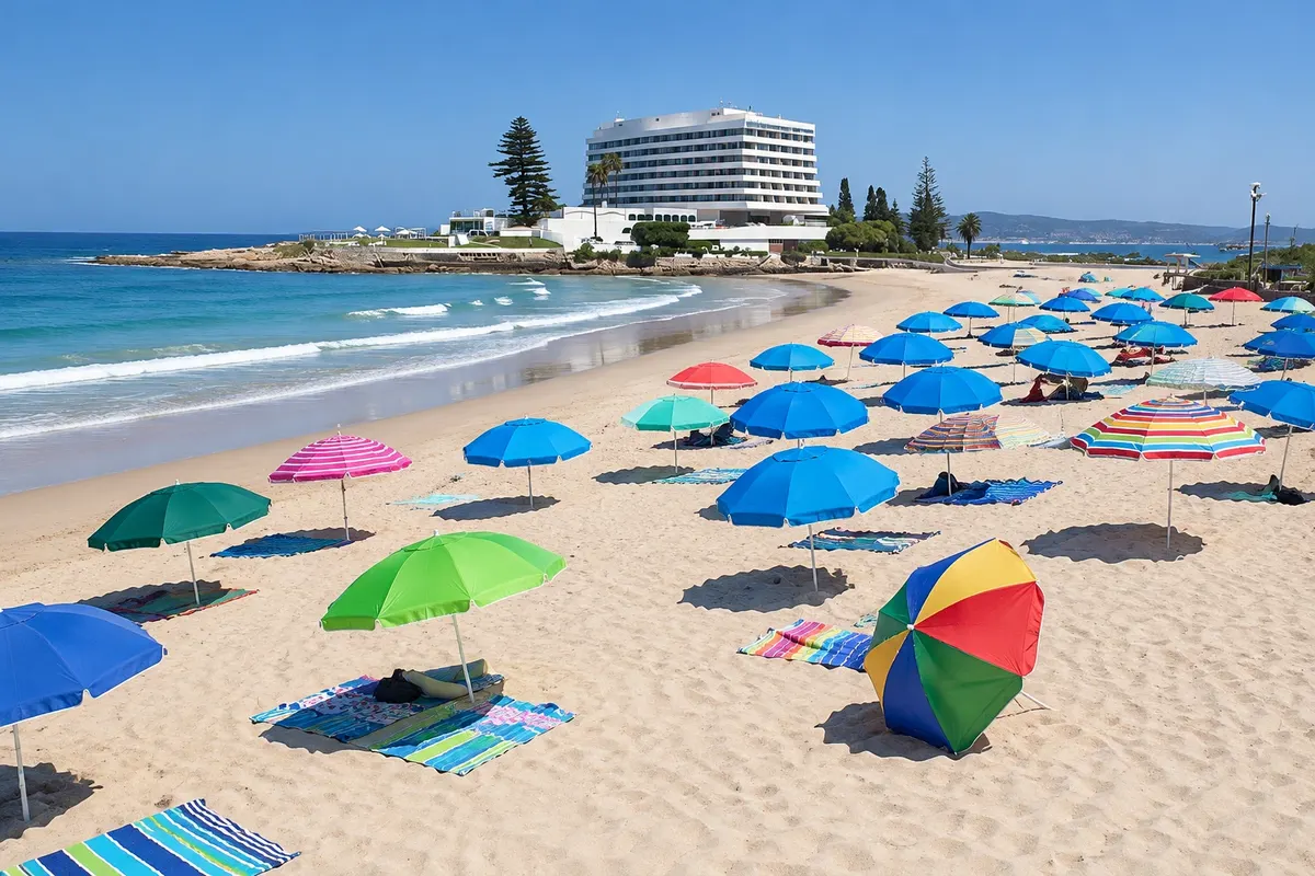
Plettenberg Bay's main beach, beside the Beacon Isle rock, with calmer waters, lifeguards and the town centre high on the hill.

Knysna Forest - Diepwalle
Knysna · Cabo Ocidental · Forest

Knysna Forest - Diepwalle

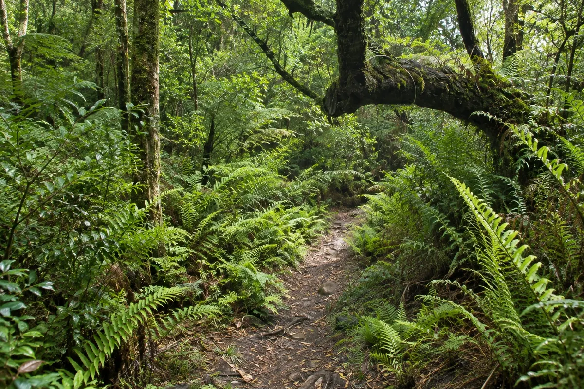
Area of Knysna native forest within the Garden Route National Park, with trails among century-old yellowwoods and the King Edward tree.

Map of Africa Viewpoint
Wilderness · Cabo Ocidental · Viewpoint

Map of Africa Viewpoint

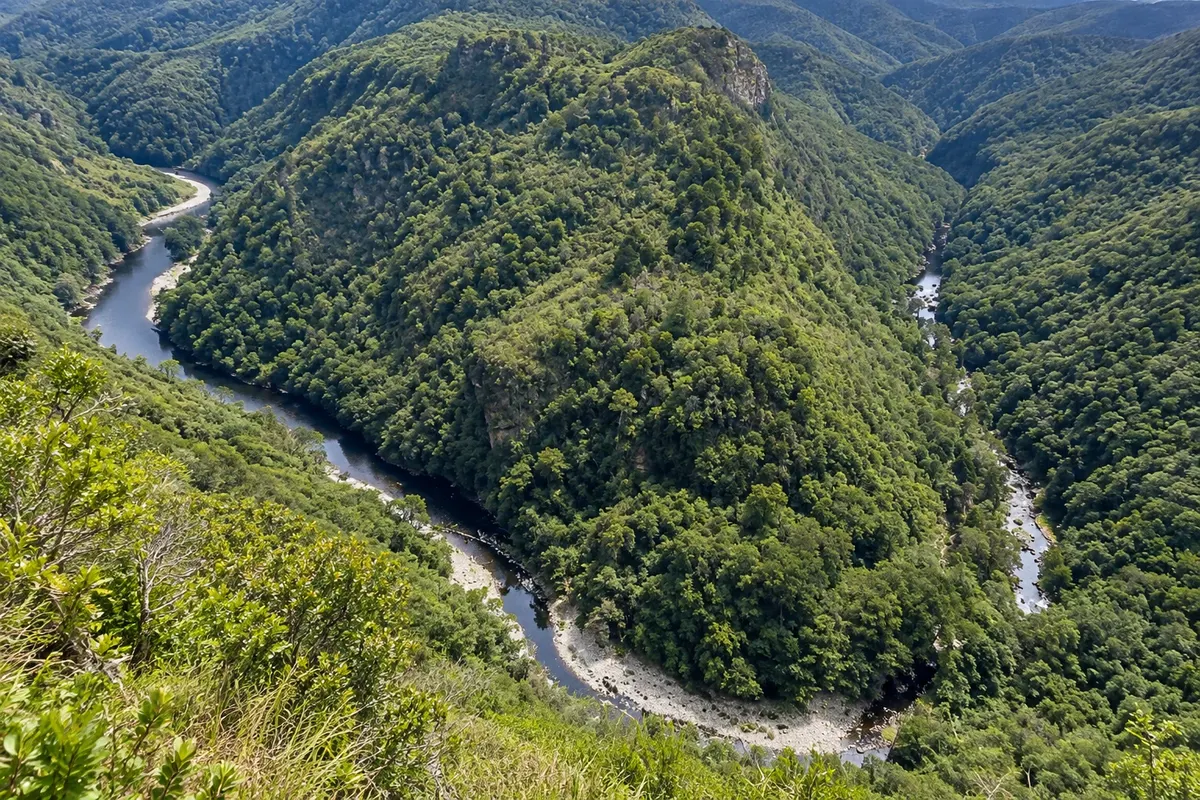
Viewpoint on the high ridge above Wilderness from where the Kaaimans River, between forested slopes, outlines the African continent.

Montagu Pass
George · Cabo Ocidental · Historic road

Montagu Pass

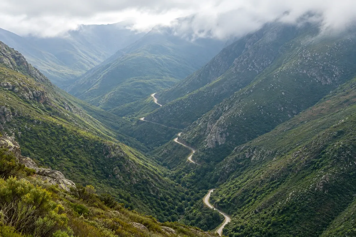
1847 dirt road over the Outeniqua Mountains, built by prisoners, with stone walls and an arched bridge over the Keur River.

Swartberg Pass
Oudtshoorn · Cabo Ocidental · Historic road

Swartberg Pass

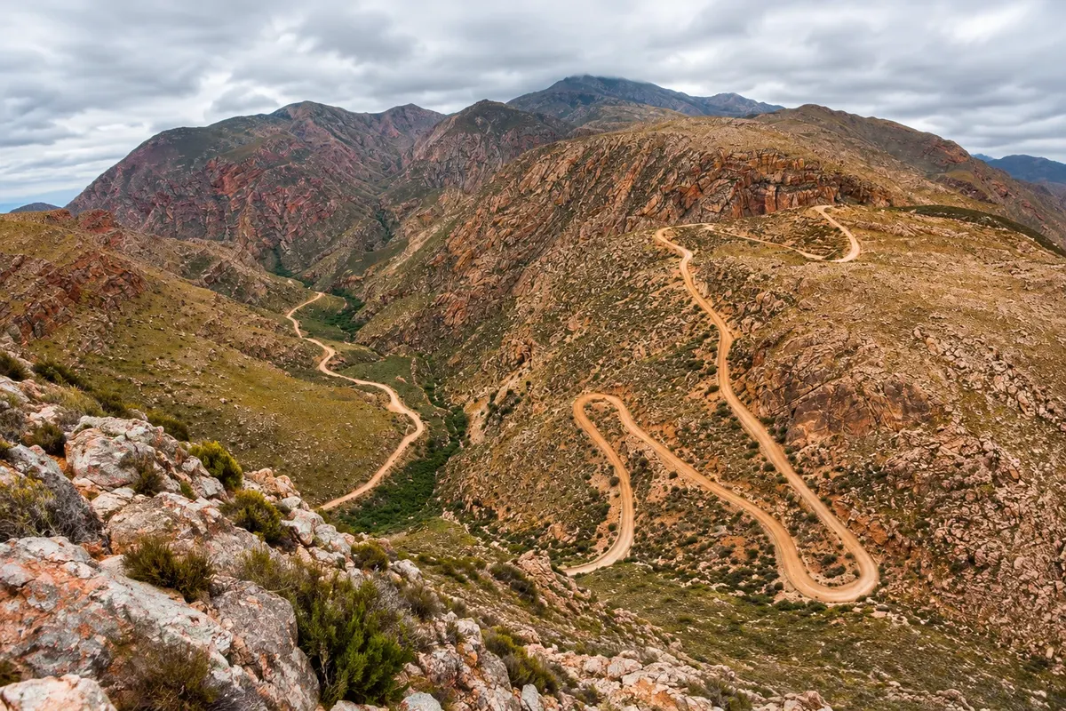
1888 dirt road over the Swartberg range, between Oudtshoorn and Prince Albert, with zigzag bends and dry stone walls.

Tsitsikamma Big Tree
Storms River · Cabo Oriental · Tree

Tsitsikamma Big Tree

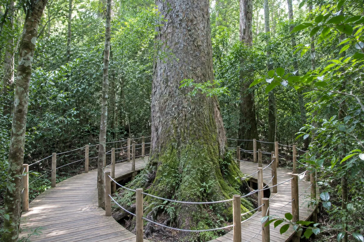
Yellowwood of about 800 years and over 36 metres tall, on a short forest walk near the N2 and Storms River village.

C. P. Nel Museum
Oudtshoorn · Cabo Ocidental · Museum

C. P. Nel Museum

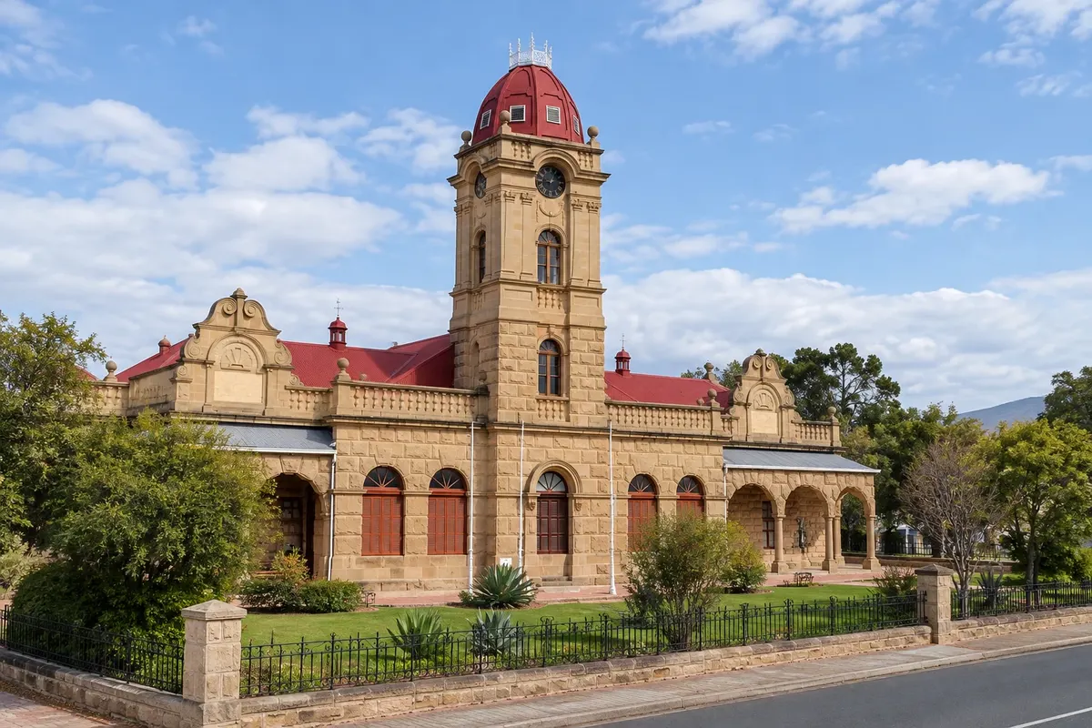
Oudtshoorn museum about the feather era, the history of the Little Karoo and the town's former Jewish community.

Before you go

Practical information

A little planning leaves more time to enjoy the journey.

When to go

The route operates year-round. Summer, from December to February, is beach season and the busiest, with South African school holidays in December and January. Southern right whale season runs from July to November. Spring and autumn usually offer mild weather and fewer crowds. It rains in all seasons, more in the Tsitsikamma area.

The seasons shown are the most usual ones; nature doesn't always follow the calendar.

How many days to stay

Five to seven days to do the route at a relaxed pace: one in Mossel Bay, one in George and Wilderness, two in Knysna and Plettenberg Bay, one in Oudtshoorn and one in Tsitsikamma. In three days you can see the essentials, but it’s rushed. Many people do the route between Cape Town and Gqeberha, returning by flight.

Which city to stay in

Knysna and Plettenberg Bay are the most used bases, in the middle of the route, with many guesthouses and restaurants; Knysna sits around the lagoon, and Plett has the beaches. Wilderness is quiet, between the lakes and the sea. George is practical because of the airport. Oudtshoorn, on the far side of the mountains, is the base for the Cango Caves and the Swartberg Pass. In Tsitsikamma there are chalets inside the park at the mouth of the Storms River and accommodation in the village.

Respect the place

Take your trash with you, follow the signs and support local businesses. In natural areas, follow the visiting guidelines.

Get your questions answered

Frequently asked questions about Garden Route

How many days to do the Garden Route?

Five to seven days for the route at a relaxed pace, from Mossel Bay to Tsitsikamma, including Oudtshoorn. In three days you can see the essentials.

Do you need a car on the Garden Route?

Yes. The route is driven by car along the N2; there are long-distance buses but they don’t stop at the attractions. Drive on the left.

What is the best time to visit the Garden Route?

It works year-round. Summer is beach season, whales pass from July to November, and spring and autumn are usually mild and less crowded.

Where is the Garden Route airport?

In George (GRJ), with flights from Johannesburg and Cape Town. At the end of the route, Gqeberha Airport (PLZ) is about 170 km from Storms River.

Can you include the Cango Caves on the Garden Route?

Yes. Oudtshoorn is about an hour from George, on the far side of the Outeniqua Mountains, and the caves are 30 km from the town.

Explore other destinations Search by state and city