

 Antarktika
 Argentina
 Bolivija
 Čile
 Kolumbija
 Ekvator
 Gvajana
 Francoska Gvajana
 Falklandski otoki (Malvini)
 Paragvaj
 Peru
 Surinam
 Urugvaj
 Venezuela
 Nemčija
 Avstrija
 Belgija
 Hrvaška
 Danska
 Slovaška
 Slovenija
 Španija
 Finska
 Francija
 Grčija
 Nizozemska
 Madžarska
 Irska
 Islandija
 Italija
 Luksemburg
 Norveška
 Poljska
 Portugalska
 Združeno kraljestvo
 Češka
 Švedska
 Švica
 Turčija
 Bermudi
 Kanada
 Združene države Amerike
 Grenlandija
 Mehika
 Sveta Peter in Mihael
 Dominikanska republika
 Japonska
 Južnoafriška republika
 Egipt
 Avstralija
 Fidži
 Nova Zelandija
 Papua Nova Gvineja
Pot · PR
Tropeiros Route
Historic routes, museums and landscapes between southern Paraná, the Curitiba Metropolitan Region and the Campos Gerais.
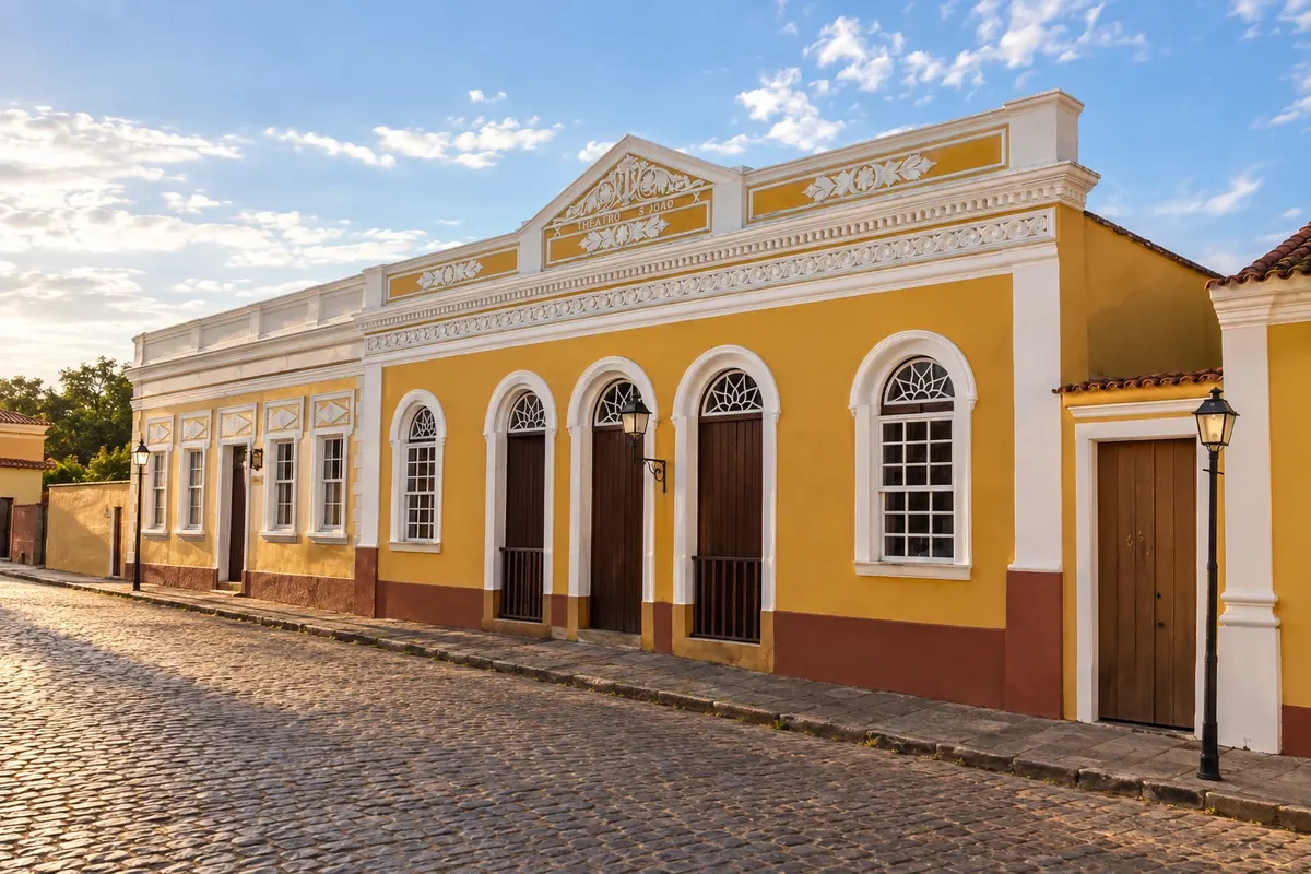
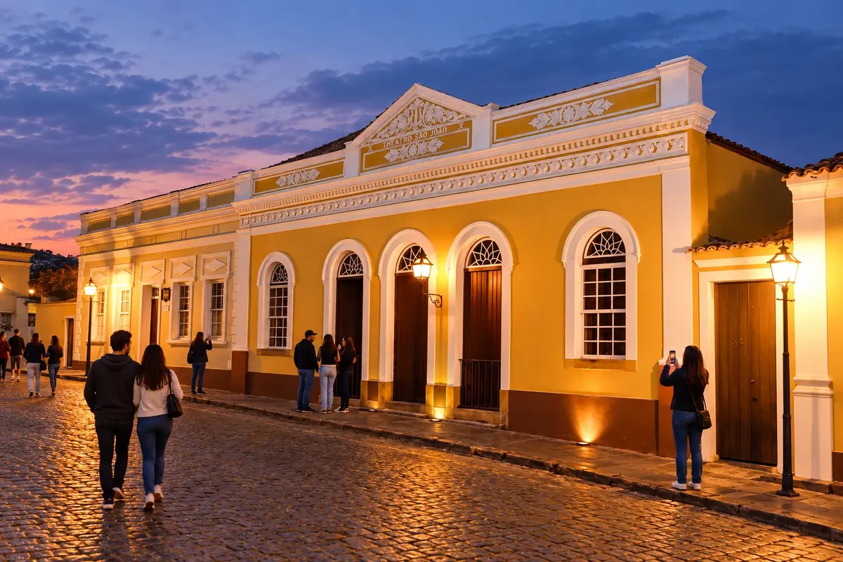
Na fotografiji: Facade of the Theatro São João in Lapa's Historic Center.
Illustrative images. The pictures in this guide are illustrations based on the real place, not photographs, and may differ from it.


Pot
Tropeiros Route – predstavitev
Rio Negro, Campo do Tenente and Lapa introduce the southern section of the troop routes in Paraná. The itinerary continues through Porto Amazonas and Palmeira to the towns of the Campos Gerais, where museums, immigrant colonies and sandstone landscapes add other layers to the regional history.
The axis through Ponta Grossa, Carambeí, Castro, Piraí do Sul and Jaguariaíva reaches Sengés. Branches lead to Balsa Nova, Campo Largo, Araucária and Colombo, as well as Tibagi, Telêmaco Borba and Arapoti. Historic centers, parks and rural excursions require their own time, in addition to travel between bases.
Zemljevid
Število mest na poti: 18
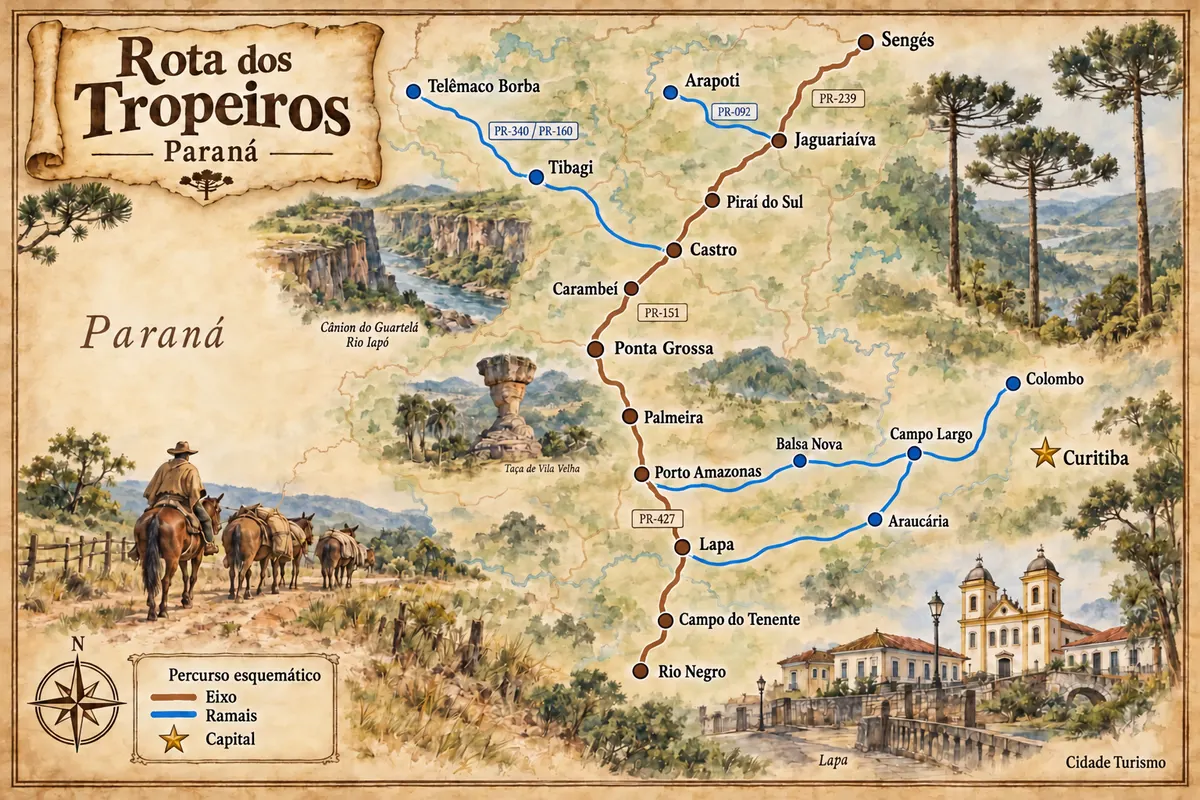
Zemljevid: @svg-maps/brazil, CC BY 4.0
Potek poti
Od mesta do mesta
Razdalje in časi so okvirni. Preverite jih pred odhodom.
-
 1 · PR
Rio Negro
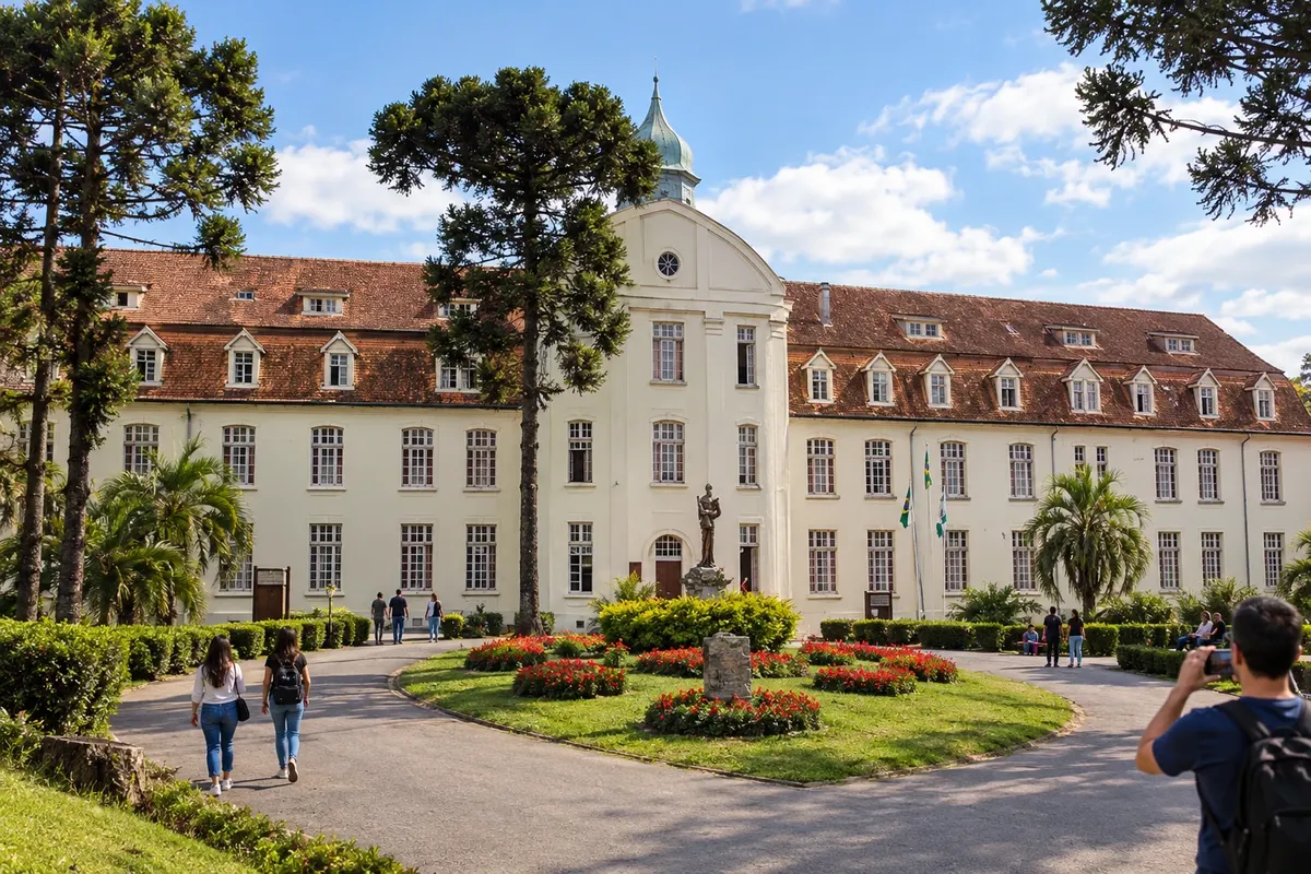
Rio Negro occupies the Paraná bank of the river that borders Mafra, in Santa Catarina. German colonization is visible in the buildings and in the history of the former Seminário Seráfico São Luís de Tolosa, whose complex is part of a municipal park. The urban center retains traces of the troop passages in the southern block of Paraná and connects to Campo do Tenente via the BR-116 corridor.
→ Campo do Tenente BR-116 between Rio Negro and Campo do Tenente, followed by the urban access to the municipal seat.
-
 2 · PR
Campo do Tenente
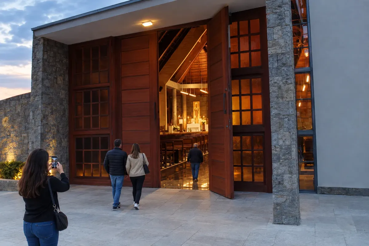
Campo do Tenente developed along the troop route corridor between Rio Negro and Lapa. The agricultural landscape coexists with references to Polish immigration and the Trappist Monastery Nossa Senhora do Novo Mundo, noted for its modern architecture. The town sits at the junction of BR-116 and PR-427, linking the southern block of the Tropeiros Route.
→ Lapa PR-427 between Campo do Tenente and Lapa, arriving to the urban center via municipal access roads.
-
 3 · PR
Lapa
Lapa preserves a group of streets and manor houses linked to troop rest stops and the memory of the Siege of Lapa. The Matriz de Santo Antônio, Theatro São João and Casa Lacerda provide landmarks for walking the historic core. BR-476 and PR-427 connect the town to metropolitan branches and to the route toward Porto Amazonas.
→ Porto Amazonas PR-427 leaving Lapa toward Porto Amazonas, followed by the urban accesses to the town and to the Cais do Porto.
-
 4 · PR
Porto Amazonas
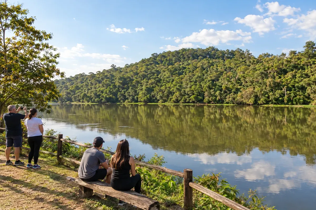
Porto Amazonas retains the link to steam navigation on the Iguaçu River. Its former port role and the railway corridor are part of the town's formation, on the access between Lapa and the Campos Gerais. On the Tropeiros Route, PR-427 meets the junction with BR-277, which connects the stage toward Palmeira.
→ Palmeira BR-277 between the Porto Amazonas access and Palmeira; the Ponte dos Papagaios uses its own local detour at the municipal boundary.
-
 5 · PR
Palmeira
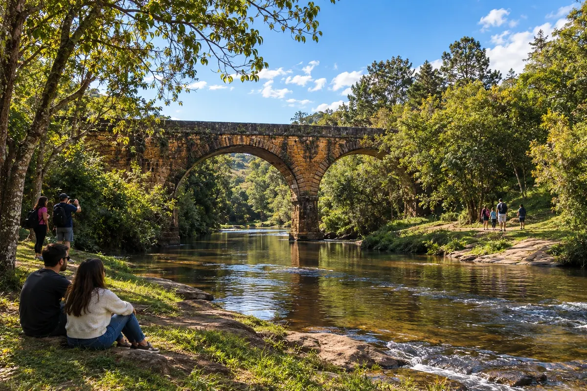
Palmeira gathers references to the trooper routes and to immigrant colonies of the Paraná plateau. The historical experience of Colônia Cecília and the presence of Witmarsum are part of the local identity. On the border with Balsa Nova, the Ponte do Rio dos Papagaios preserves two stone masonry arches from the former Estrada do Mato Grosso.
→ Ponta Grossa PR-151 between Palmeira and Ponta Grossa. Vila Velha requires a separate connection from BR-376 and its own access to the park.
-
 6 · PR
Ponta Grossa
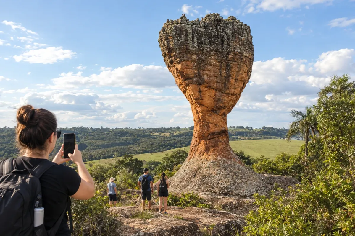
Ponta Grossa is a service center for the Campos Gerais on the Second Paraná Plateau. The sandstones of Vila Velha State Park and the fields of the Devonian Escarpment shape the municipality's landscape. The city organizes arrivals via the highways of the southern block and the continuation on PR-151 toward Carambeí, Castro and the northern part of the Tropeiros Route.
→ Carambeí PR-151 from Ponta Grossa to Carambeí, with road exits toward the town center and the Historical Park.
-
 7 · PR
Carambeí
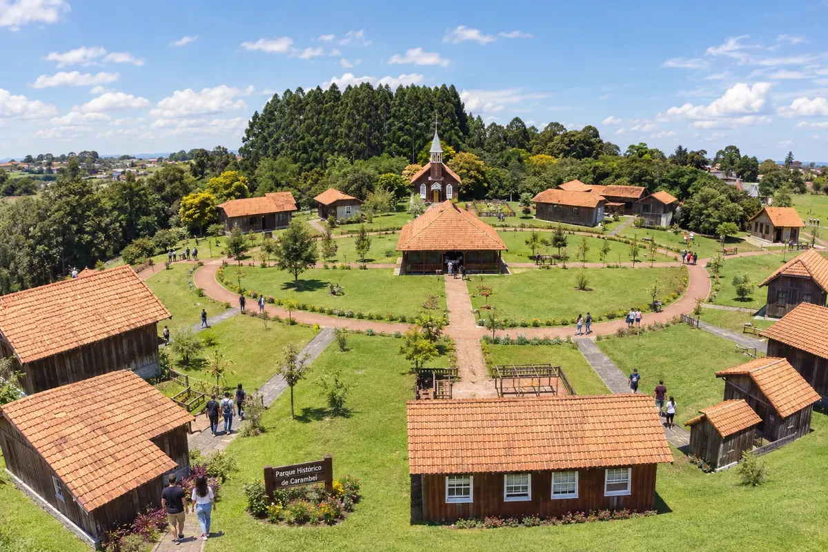
Carambeí preserves the history of Dutch immigration and cooperative dairy production in the Campos Gerais. The Parque Histórico de Carambeí presents that memory in an open-air museum, with buildings and settings that connect the community to rural life. PR-151 links the town to Ponta Grossa and Castro on the central axis of the Tropeiros Route.
→ Castro PR-151 between Carambeí and Castro; the Castrolanda colony has a local branch separate from the historic center.
-
 8 · PR
Castro
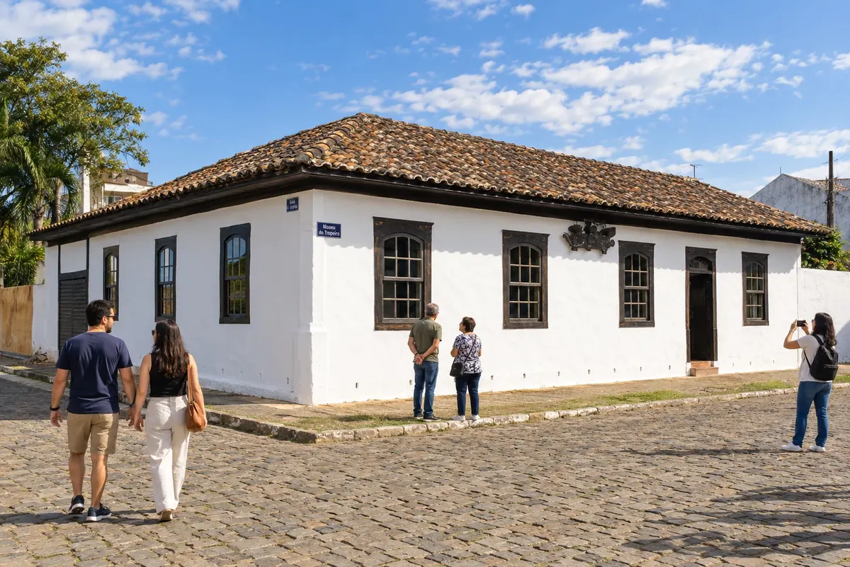
Castro developed as a stopping point along the Iapó River on the troop routes. The Museu do Tropeiro preserves objects and references from that period, while Colônia Castrolanda adds the memory of Dutch immigration, with a windmill and a historical museum. The town connects the PR-151 axis to the PR-340 branch toward Tibagi.
→ Piraí do Sul PR-151 from Castro to Piraí do Sul, followed by the urban access. The Santuário das Brotas is on its own detour.
-
 9 · PR
Piraí do Sul
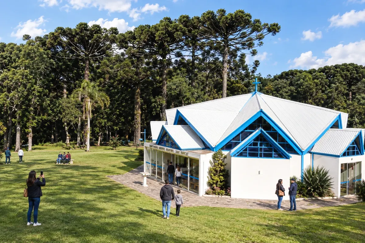
Piraí do Sul lies along the PR-151 corridor between Castro and Jaguariaíva. Devotion to Nossa Senhora das Brotas is linked to the passage of the troopers and has its place in the town's sanctuary. The urban center and the Pirazinho valley help position the town on the religious and historical route of the Campos Gerais.
→ Jaguariaíva PR-151 between Piraí do Sul and Jaguariaíva; the municipality’s parks have specific accesses from the town center.
-
 10 · PR
Jaguariaíva
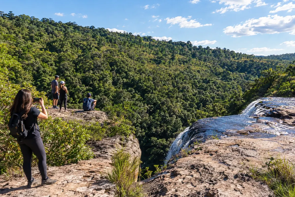
Jaguariaíva preserves the trooper crossing of its river and the industrial memory associated with the name Matarazzo. The Parque Ambiental Dr. Ruy Cunha brings the urban walk closer to that history, while the Parque Estadual do Cerrado protects another aspect of the plateau. The town links PR-151 with routes to Sengés and with the PR-092 branch to Arapoti.
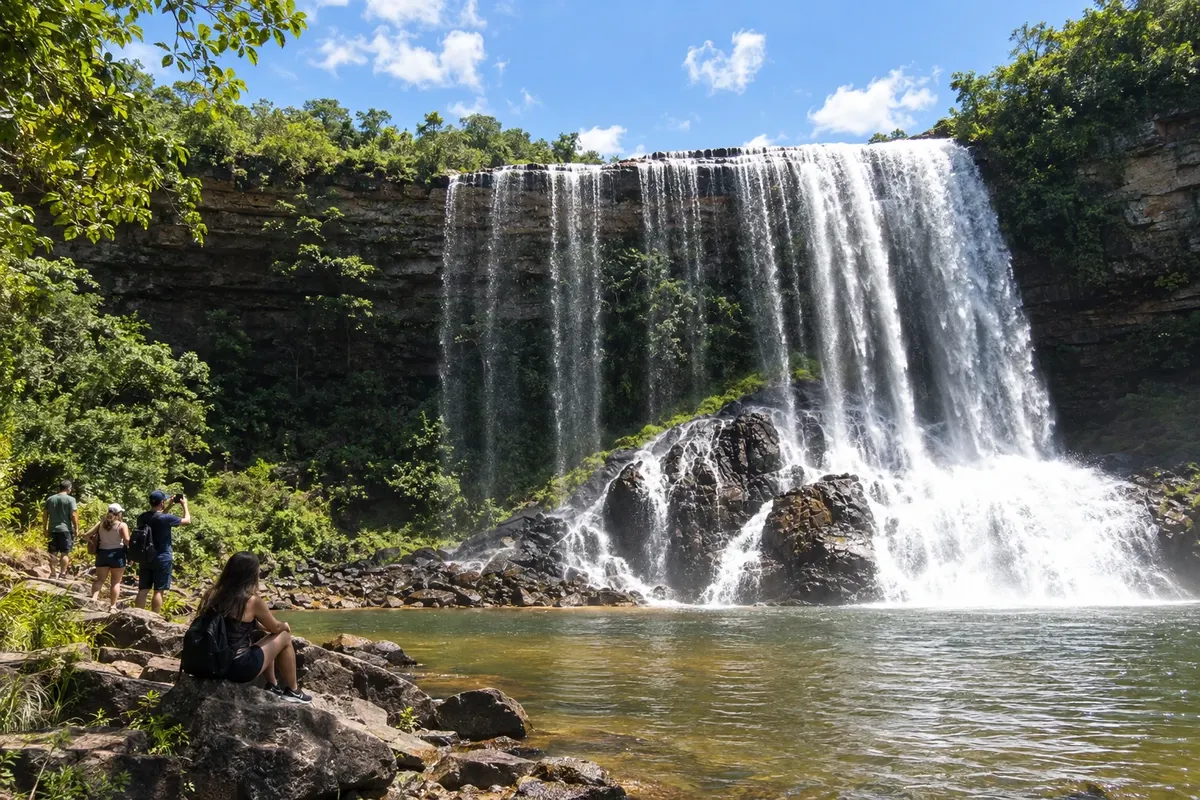
→ Sengés PR-151 and PR-239 to reach Sengés. Waterfalls and Jaguaricatu sites require rural routes organized separately.
-
 11 · PR
Sengés
Sengés occupies the valleys at the edge of the Campos Gerais, near the border with the state of São Paulo. The Jaguaricatu landscape and the Cachoeira do Sobradinho define the area's nature outings, while the railway corridor shaped timber exploitation and urban development. PR-151 and PR-239 connect the town to the axis coming from Jaguariaíva.
-
 12 · PR
Balsa Nova
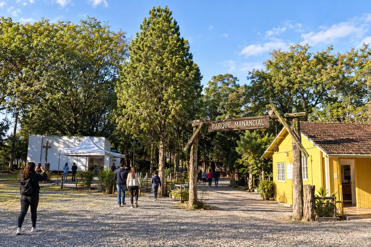
Balsa Nova is named for the crossing of the Iguaçu River and encompasses territory that reaches the Devonian Escarpment. São Luiz do Purunã is its mountain district, linked to the fields and the troop routes. In the town proper, Parque Manancial brings together environmental education trails; the town is part of the branch between the plateau and Campo Largo.
→ Campo Largo Municipal accesses from Balsa Nova and the BR-277/BR-376 corridor to Campo Largo, with exits toward the central area.
-
 13 · PR
Campo Largo
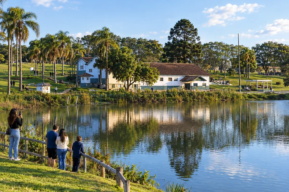
Campo Largo began as a stopping place on the drovers' routes and gained identity through the production of earthenware and porcelain. Cambuí–Newton Puppi Park covers an area connected to the former yerba mate mills, and the Matriz Nossa Senhora da Piedade church is a landmark in the town center. The municipality is part of the metropolitan branch linking Balsa Nova, Araucária and Colombo.
→ Colombo BR-277 and the North Bypass via PR-418, with a connection to PR-417 and Colombo’s urban access roads.
-
 14 · PR
Araucária
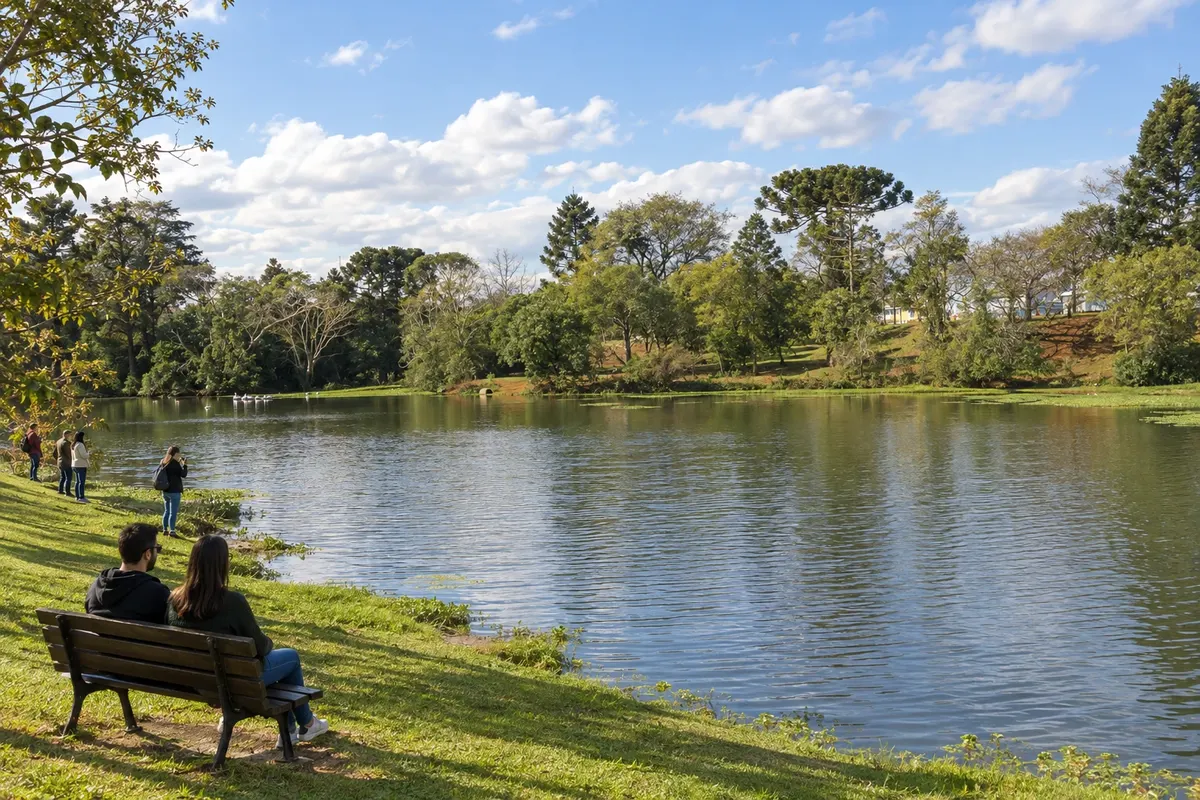
Araucária sits on part of the Iguaçu valley within Curitiba’s metropolitan area. The legacy of Polish immigration coexists with the municipality’s industrial character. Cachoeira Park brings together public leisure spaces and community landmarks, while BR-476 and PR-423 connect the city to routes toward Lapa and Campo Largo.
→ Campo Largo PR-423 and BR-277 between Araucária and Campo Largo, with paved metropolitan connections.
-
 15 · PR
Colombo
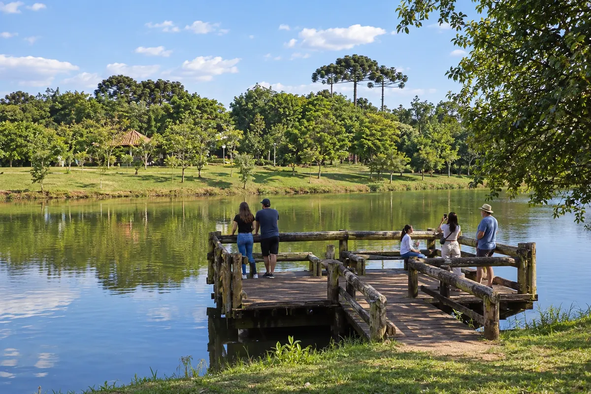
Colombo is associated with Italian colonization and grape production in Curitiba’s metropolitan region. The Municipal Grape Park features paths, recreational areas and references to the local winemaking heritage. The city forms the end of the metropolitan branch of the Rota dos Tropeiros, reached via the road connections around the capital.
-
 16 · PR
Tibagi
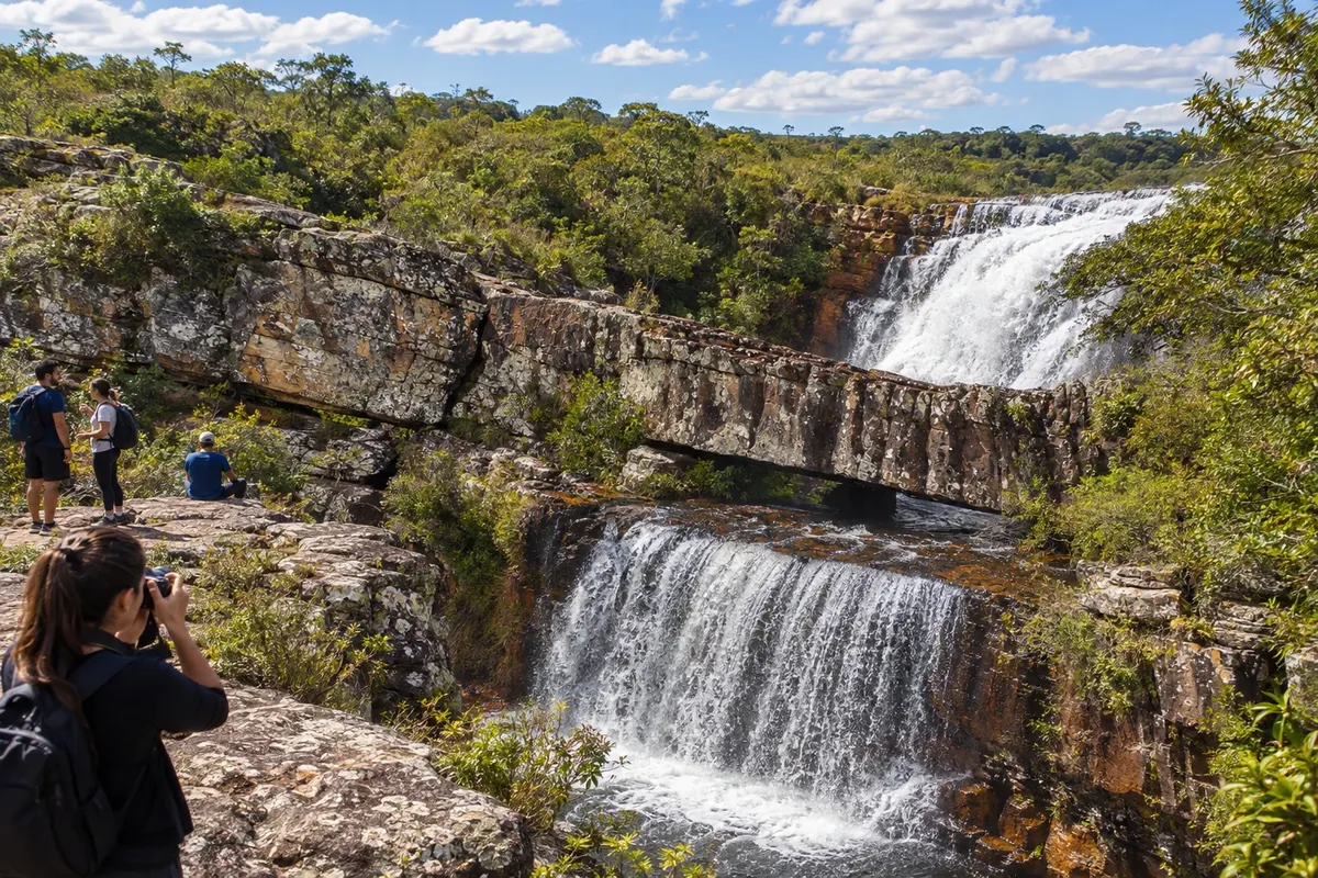
Tibagi lies on the bank of the river that gives the town its name and preserves references to mining and the drovers’ routes. Guartelá State Park protects part of the Iapó River canyon, amid fields and sandstone cliffs. PR-340 connects the municipality to the branch coming from Castro and toward Telêmaco Borba.
→ Telêmaco Borba PR-340 and the connection with PR-160 between Tibagi and Telêmaco Borba, via the region’s road accesses.
-
 17 · PR
Telêmaco Borba
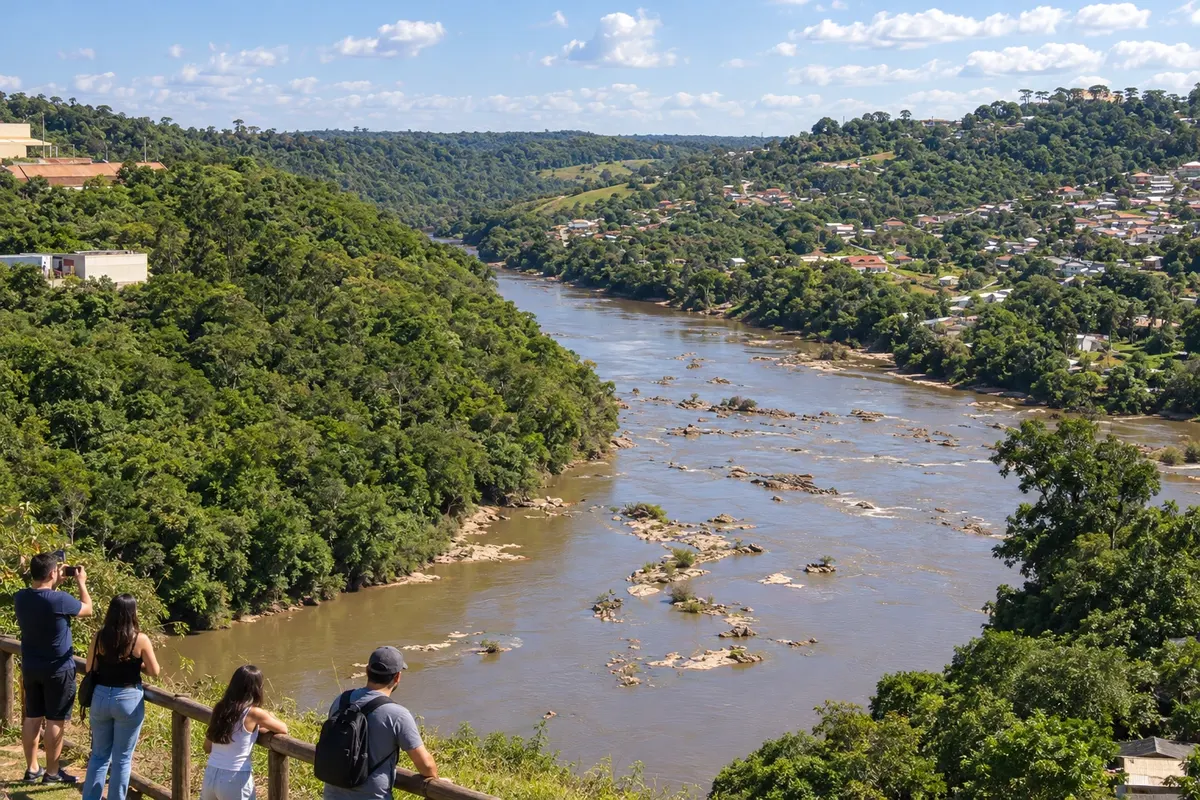
Telêmaco Borba is a pulp and paper hub in the Tibagi River valley. The city’s industrial profile and the presence of Fazenda Monte Alegre distinguish it from the old drovers’ settlements on the plateau. On the Rota dos Tropeiros it is part of the branch coming from Tibagi via PR-340 and PR-160, serving as an urban support point for regional movements.
-
 18 · PR
Arapoti
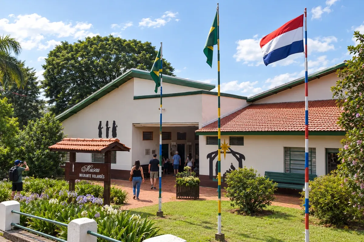
Arapoti formed in an area of farms along the drovers’ route and later gained identity with the Dutch colony. The Museu Imigrante Holandês houses collections and spaces related to rural production and cooperative life. PR-092 links the city to the Jaguariaíva branch, outside the sequence that continues directly toward Sengés.
Koliko dni
Allow eight to twelve days to combine the historic axis and some branches. Traveling to all eighteen towns, with museums and rural routes, requires more time or staging the trip in separate legs.
Najboljši čas za obisk
From April to August it generally rains less across the region; from May to August mornings on the plateaus can be cold. Between December and March rainfall is more frequent and can affect trails and rural access. Museums and historic centers allow you to plan stages with indoor activities, depending on confirmed openings.
The seasons shown are the most usual ones; nature doesn't always follow the calendar.
Kako prepotovati pot
Choose bases and branches before you travel. BR-116, BR-277 and BR-476 connect the southern block and the metropolitan municipalities; PR-151 runs along part of the Campos Gerais axis. PR-340, PR-160 and PR-092 lead to the branches for Tibagi, Telêmaco Borba and Arapoti. Arrange rural access to Sengés and museum receptions separately from the highway sections.
Komu je pot namenjena
For travelers who combine the history of the troop routes, urban architecture, immigration heritage and walks in the parks of the Campos Gerais.
Odgovori na vaša vprašanja
Pogosta vprašanja – Tropeiros Route
Do I need to visit all eighteen towns in a single trip?
The itinerary can be divided into the southern block, the metropolitan municipalities and the Campos Gerais. Choose bases according to the sites you want to visit and the branches you plan to follow.
How do I include Colombo and Araucária?
Both municipalities are accessed via metropolitan branches linked to Lapa and Campo Largo. Add the specific transfers when selecting your stages.
Is the visit to Guartelá part of the stop in Tibagi?
The park has its own entrance on PR-340 and specific ways to organize trails. Allow time beyond the visit to Tibagi’s town center.
Where in the itinerary is the Ponte dos Papagaios located?
The bridge is on the boundary between Palmeira and Balsa Nova, along the BR-277 corridor. Stopping there requires a local access separate from the highway traffic.
Do the rural excursions in Sengés require advance organization?
Waterfalls and Jaguaricatu sites use local accesses and walking routes. Arrange passage permissions and route guidance before heading out.
Več kot vodnik


