

 Antarktika
 Argentina
 Bolivija
 Čile
 Kolumbija
 Ekvator
 Gvajana
 Francoska Gvajana
 Falklandski otoki (Malvini)
 Paragvaj
 Peru
 Surinam
 Urugvaj
 Venezuela
 Nemčija
 Avstrija
 Belgija
 Hrvaška
 Danska
 Slovaška
 Slovenija
 Španija
 Finska
 Francija
 Grčija
 Nizozemska
 Madžarska
 Irska
 Islandija
 Italija
 Luksemburg
 Norveška
 Poljska
 Portugalska
 Združeno kraljestvo
 Češka
 Švedska
 Švica
 Turčija
 Bermudi
 Kanada
 Združene države Amerike
 Grenlandija
 Mehika
 Sveta Peter in Mihael
 Dominikanska republika
 Japonska
 Južnoafriška republika
 Egipt
 Avstralija
 Fidži
 Nova Zelandija
 Papua Nova Gvineja
Pot · BA
Diamond Circuit
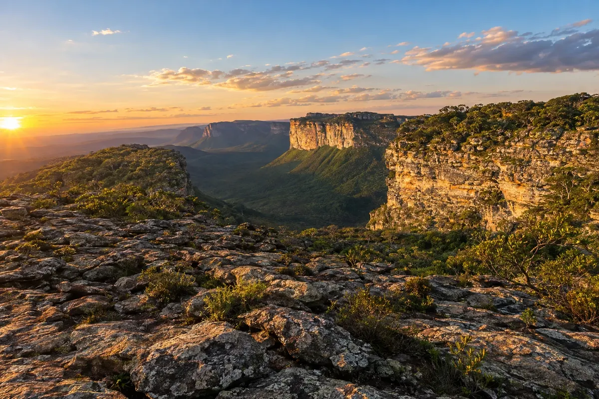
Mining-era houses, mountain ranges and rural roads among the municipalities of Chapada Diamantina.
Na fotografiji: The landscape of rocks and valleys beside Morro do Pai Inácio.
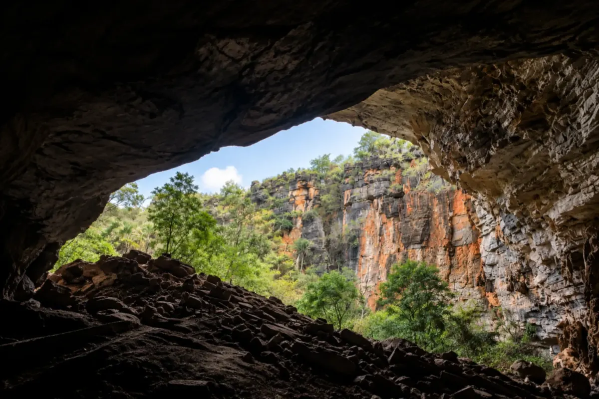
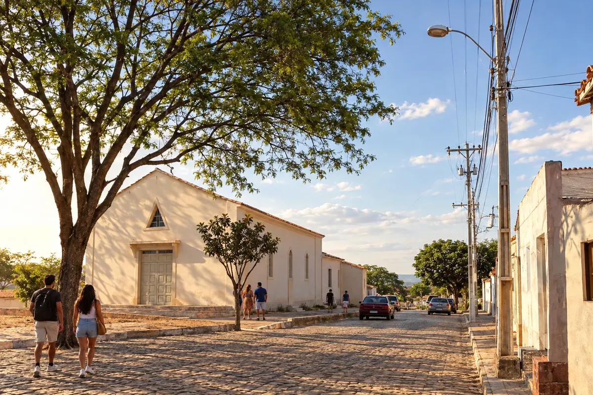
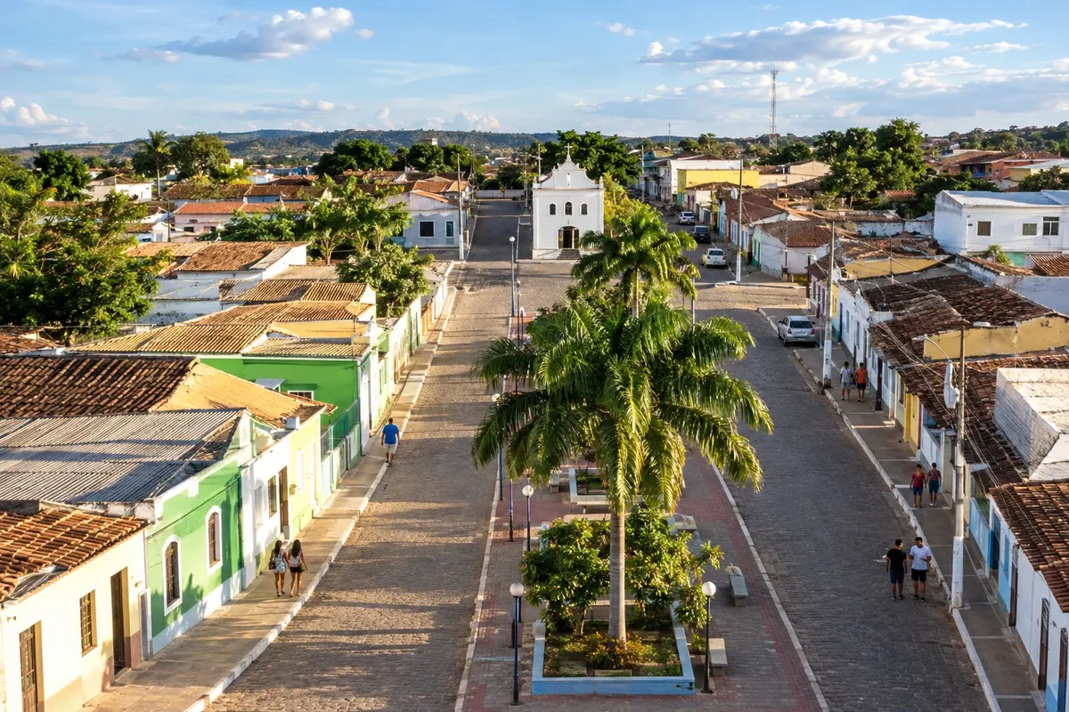
Illustrative images. The pictures in this guide are illustrations based on the real place, not photographs, and may differ from it.


Pot
Diamond Circuit – predstavitev
The Diamond Circuit organizes a trip through Chapada Diamantina linking mining settlements, agricultural plateaus and localities near the Paraguaçu and Una rivers. Arrival from the east uses Itaberaba and the BR-242; Lençóis and Palmeiras serve the central routes, while Andaraí, Mucugê and Ibicoara follow the Serra do Sincorá.
The route can continue south toward Barra da Estiva and Ituaçu, and return via the eastern side of Iramaia, Itaetê and Nova Redenção. Seabra, Iraquara, Souto Soares, Boninal, Wagner and Boa Vista do Tupim form branches with their own out-and-back itineraries. Vale do Capão and Igatu are localities of Palmeiras and Andaraí and do not replace the municipalities on the trip.
The municipal seats are not the arrival points for all caves and waterfalls. Plan local approaches and trekking periods with the bases you choose. The route shows the links between towns, while municipal guides detail the visits available at each place.
Zemljevid
Število mest na poti: 17
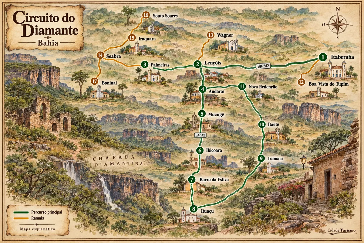
Zemljevid: @svg-maps/brazil, CC BY 4.0
Potek poti
Od mesta do mesta
Razdalje in časi so okvirni. Preverite jih pred odhodom.
-
 1 · BA
Itaberaba
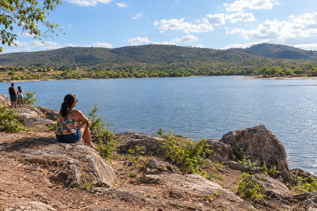
Itaberaba grew at the meeting of inland Bahian routes and is known for pineapple production. Pedra de Itaberaba gave the municipality its name, and Parque Ecológico Juracy Magalhães adds a water landscape to the urban area. The town receives arrivals from the east to the Diamond Circuit along the BR-242 corridor.
→ Lençóis BR-242 takes you from the Itaberaba corridor to the entrance of Lençóis. To reach the municipal seat, leave the main highway and follow the BA-144 access.
-
 2 · BA
Lençóis
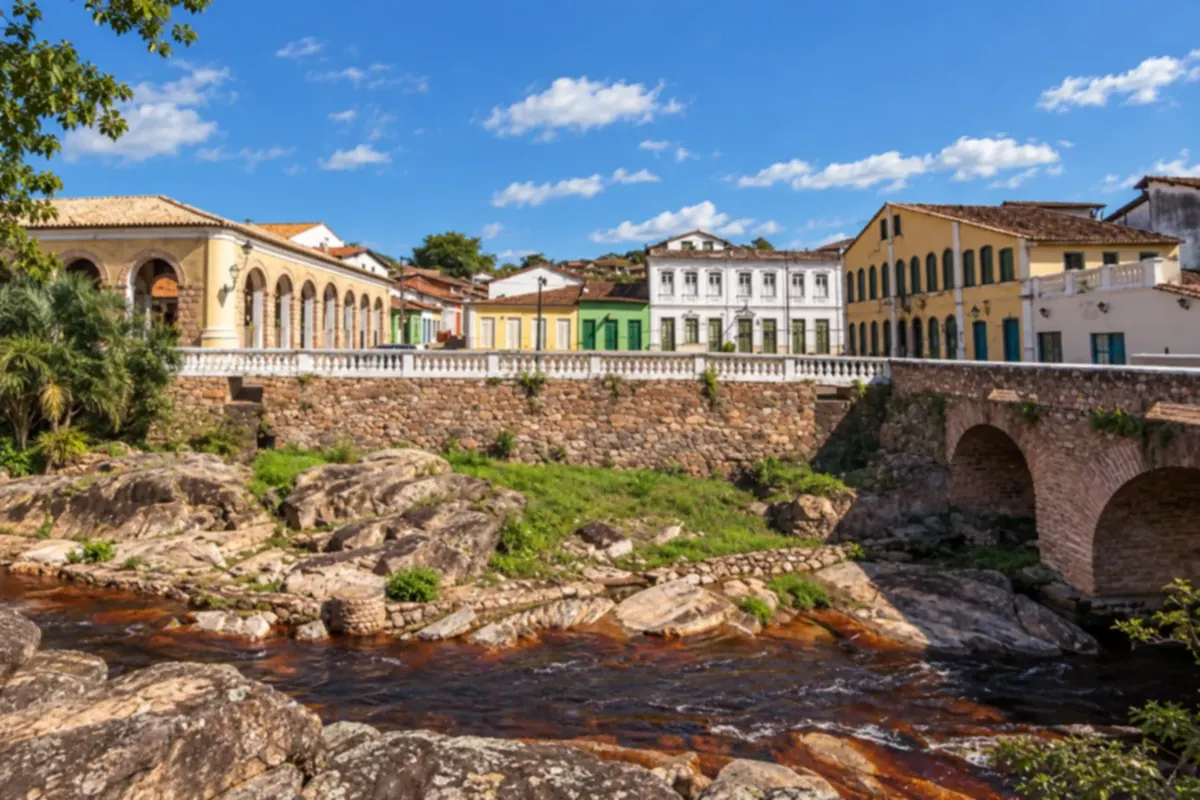
Lençóis preserves houses linked to the mining period and a network of trails that approach the Serra do Sincorá. Ribeirão do Meio and the Muritiba surroundings are part of nearby excursions. The town functions as a base for the central axis, with its own access from BR-242.
→ Palmeiras From Lençóis, return to BR-242 and follow the corridor of the witness hills to the access for the Palmeiras municipal seat. The route to Vale do Capão is another local branch.
-
 3 · BA
Palmeiras
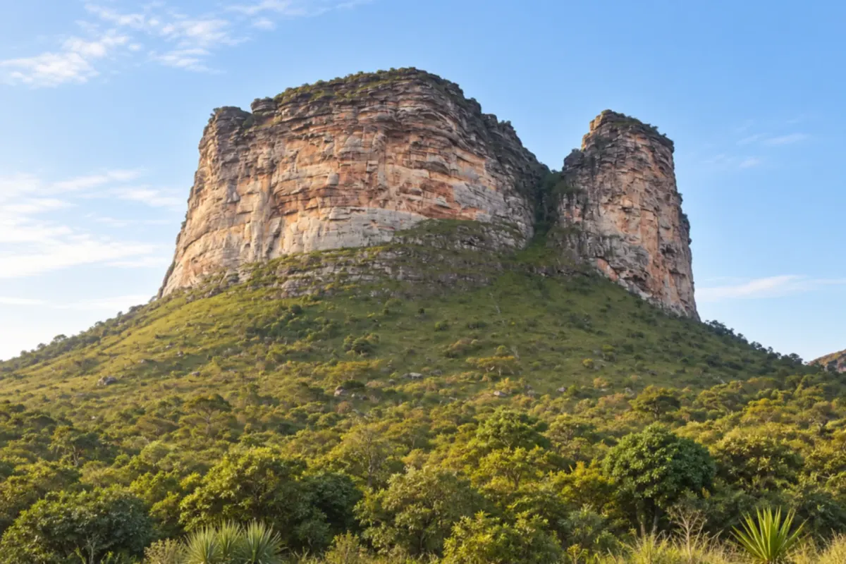
Palmeiras includes Morro do Pai Inácio on the BR-242 corridor and the Vale do Capão locality, surrounded by mountain ranges. The municipal seat and Capão use different approaches. This stage links the central routes to the Seabra and Iraquara branches.
→ Andaraí From Palmeiras, rejoin BR-242 to reach BA-142 on the eastern side of Serra do Sincorá. The route continues to the Andaraí municipal seat, without a road crossing through the interior of the park.
-
 4 · BA
Andaraí
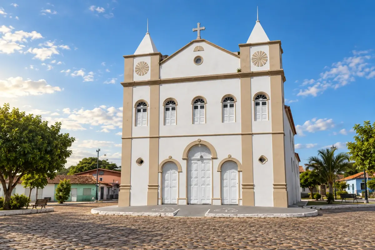
Andaraí has origins tied to mining and relates to the Paraguaçu river landscape. Igatu preserves stone constructions in a locality of the municipality. BA-142 links the municipal seat to Mucugê, with a local turnoff to Igatu’s stone village.
→ Mucugê BA-142 links Andaraí to Mucugê through the mountainous landscape. Igatu has its own exit from the corridor; include that detour only if you have time for the local access.
-
 5 · BA
Mucugê
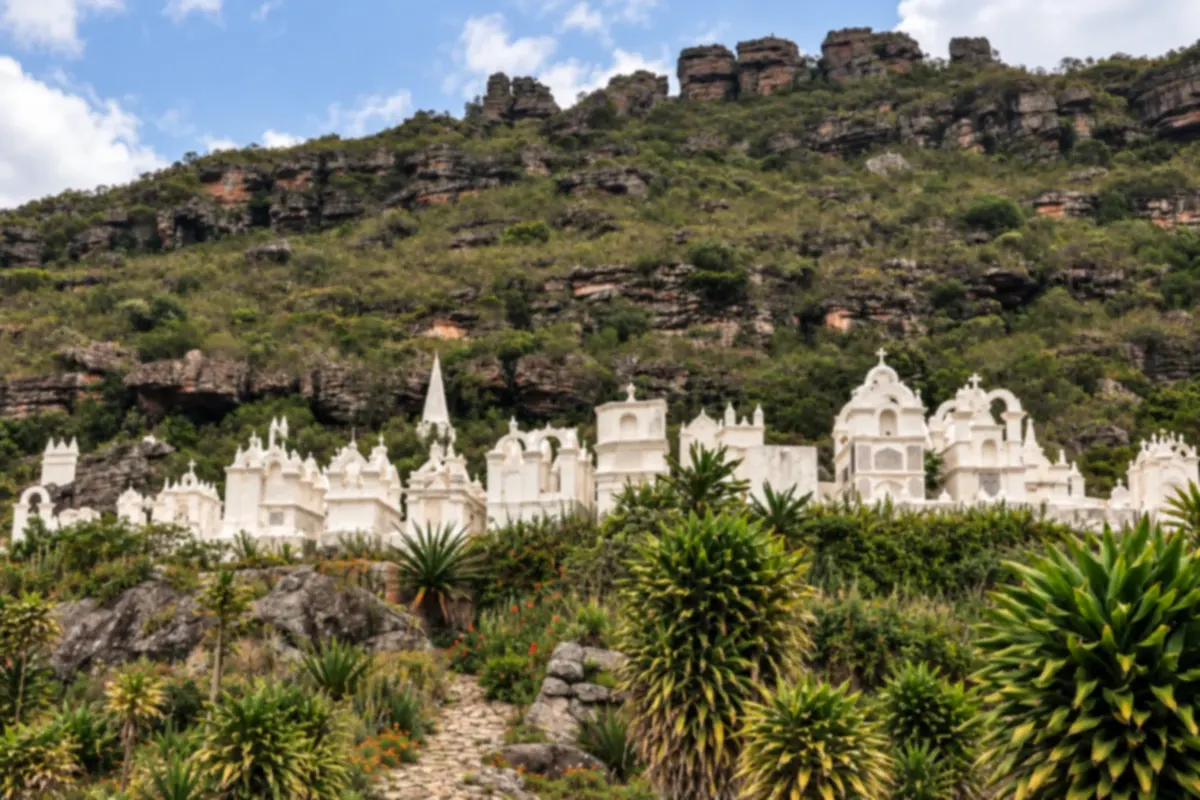
Mucugê features houses tied to the diamond cycle and the Cemitério Bizantino on the edge of the urban core. The gerais landscape and the Mucugê River add trail and waterfall environments. The town follows the BA-142 axis through the Serra do Sincorá.
→ Ibicoara From Mucugê, follow the BA-142 axis toward the access for Ibicoara. The approach to the municipal seat diverges from the rural roads used to reach the waterfalls.
-
 6 · BA
Ibicoara
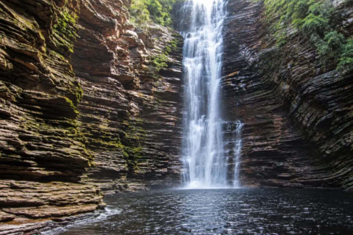
Ibicoara combines rural localities, agricultural activities and access to waterfalls such as Buracão and Fumacinha. The municipal seat has a different approach from trailheads. On the circuit, it links the Mucugê corridor to the Barra da Estiva stages.
→ Barra da Estiva Return from Ibicoara to the BA-142 corridor and continue to Barra da Estiva, amid agricultural areas and the relief of Serra do Sincorá.
-
 7 · BA
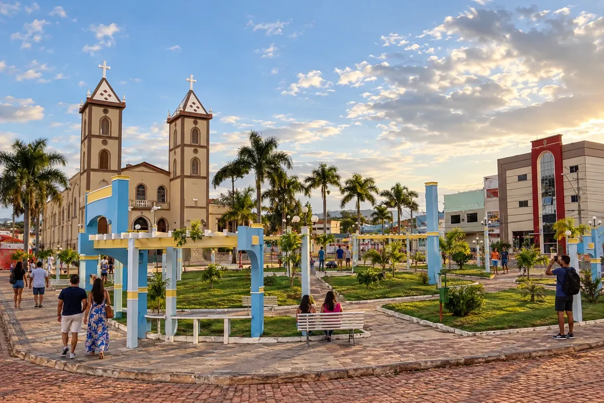
Barra da Estiva
Barra da Estiva sits on an elevated section of the Serra do Sincorá, with coffee cultivation and landscapes tied to the Serra do Cocal. Morro Santa Bárbara is among the municipality’s landmarks. On the Diamond Circuit, the town connects the Ibicoara and Ituaçu corridors along the BA-142 axis.
→ Ituaçu BA-142 continues through the southern area of Barra da Estiva region to Ituaçu. For Mangabeira, leave the main connection and use the combined local entrance for the cave.
-
 8 · BA
Ituaçu
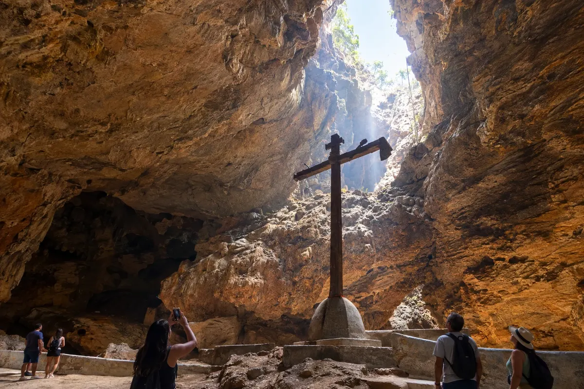
Ituaçu lies in a valley surrounded by limestone formations on the southern edge of the Chapada. Gruta da Mangabeira combines an underground landscape with a tradition of pilgrimage, while the Mato Grosso River shapes the municipality’s geography. The stop links the BA-142 axis to the eastern routes of the Diamond Circuit.
→ Iramaia The regional link from Ituaçu to Iramaia runs through the BA-142 and BA-131 corridors, via the Contendas do Sincorá area and the BA-026 accesses. The route skirts the eastern side of the ranges.
-
 9 · BA
Iramaia
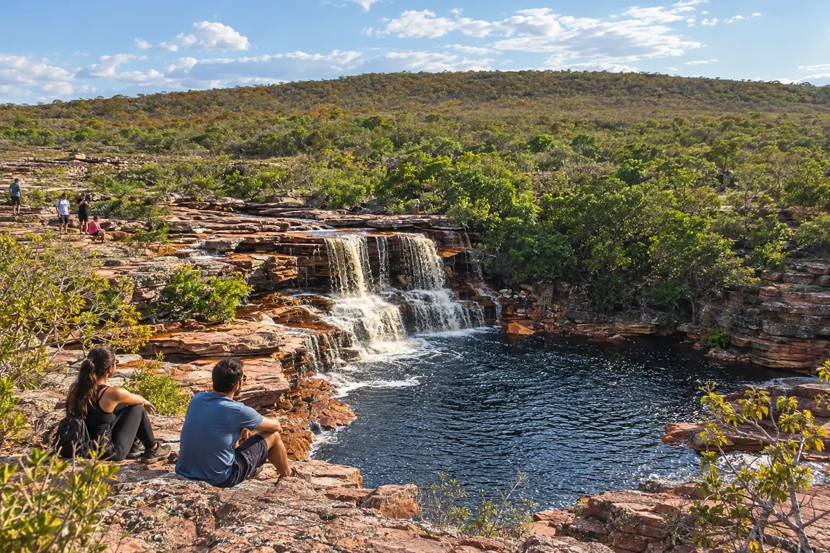
Iramaia includes the village of Raposa, waterfalls and remains of rural occupation in the Chapada. Cachoeira das Andorinhas features reddish rocks and an approach through the municipality’s territory; the Una River environment is part of local excursions. The municipal seat lies on the eastern side of the Diamond Circuit, with different access routes than the mountain bases of Mucugê and Ibicoara.
→ Itaetê From Iramaia, use the regional accesses toward Itaetê and the BA-245 corridor. Localities such as Rumo have their own entrances; confirm the approach route before departing your base.
-
 10 · BA
Itaetê
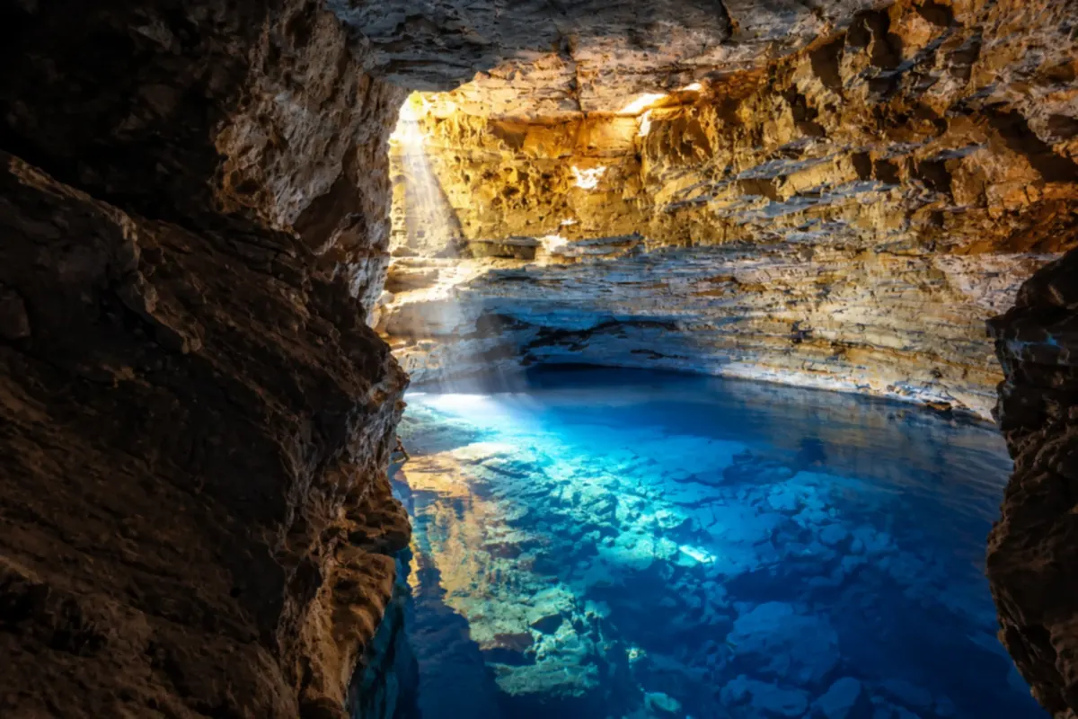
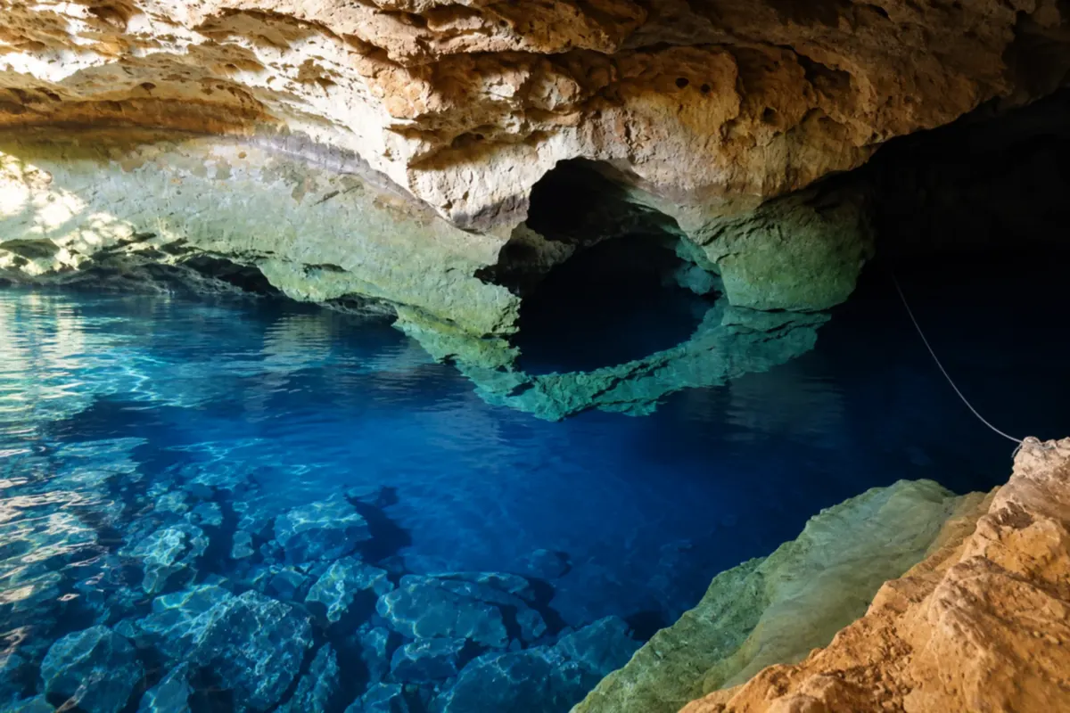
Itaetê relates to the Paraguaçu River and to access routes for Poço Encantado and the localities of Colônia and Rumo. Caves and waterfalls lie outside the town, with specific approaches. This stage makes the regional connection between the Iramaia side and Nova Redenção.
→ Nova Redenção The link from Itaetê to Nova Redenção uses regional roads near the Paraguaçu. The BA-851 corridor organizes access to Nova Redenção; entering Poço Azul is another local stage.
-
 11 · BA
Nova Redenção
Nova Redenção has Poço Azul among its references and territory linked to the banks of the Paraguaçu. Arrival at the municipal seat and the entrance to the poço use different accesses. The municipality connects to the BA-142 corridor on the eastern side of the circuit.
→ Andaraí To return to the Andaraí side, use Nova Redenção’s connection with the BA-142 corridor. That route closes the eastern section without requiring you to redo all the northern branches.
-
 12 · BA
Boa Vista do Tupim
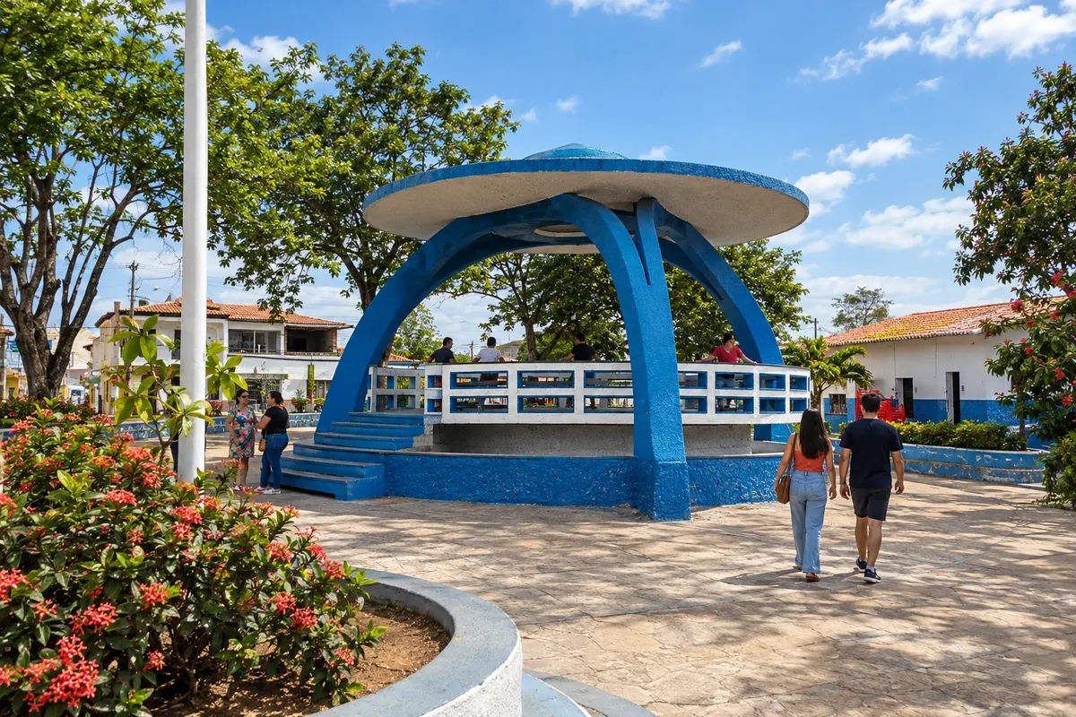
Boa Vista do Tupim has origins linked to the former territory of Itaberaba and an extensive rural landscape on the eastern side of the Chapada. settlements and communities in the municipality take part in the Caminho Diamantino de Santa Dulce dos Pobres. On the Diamond Circuit, the municipal seat appears as a branch off BR-242 via BA-130.
-
 13 · BA
Wagner
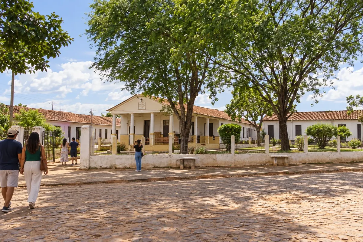
Wagner grew around Instituto Ponte Nova, founded by Presbyterian missionaries, on the banks of the Utinga River. The history of education and health marked the occupation of this Chapada nucleus. The town is part of the northern branch of the Diamond Circuit, approached via the BA-142 corridor from BR-242.
-
 14 · BA
Seabra
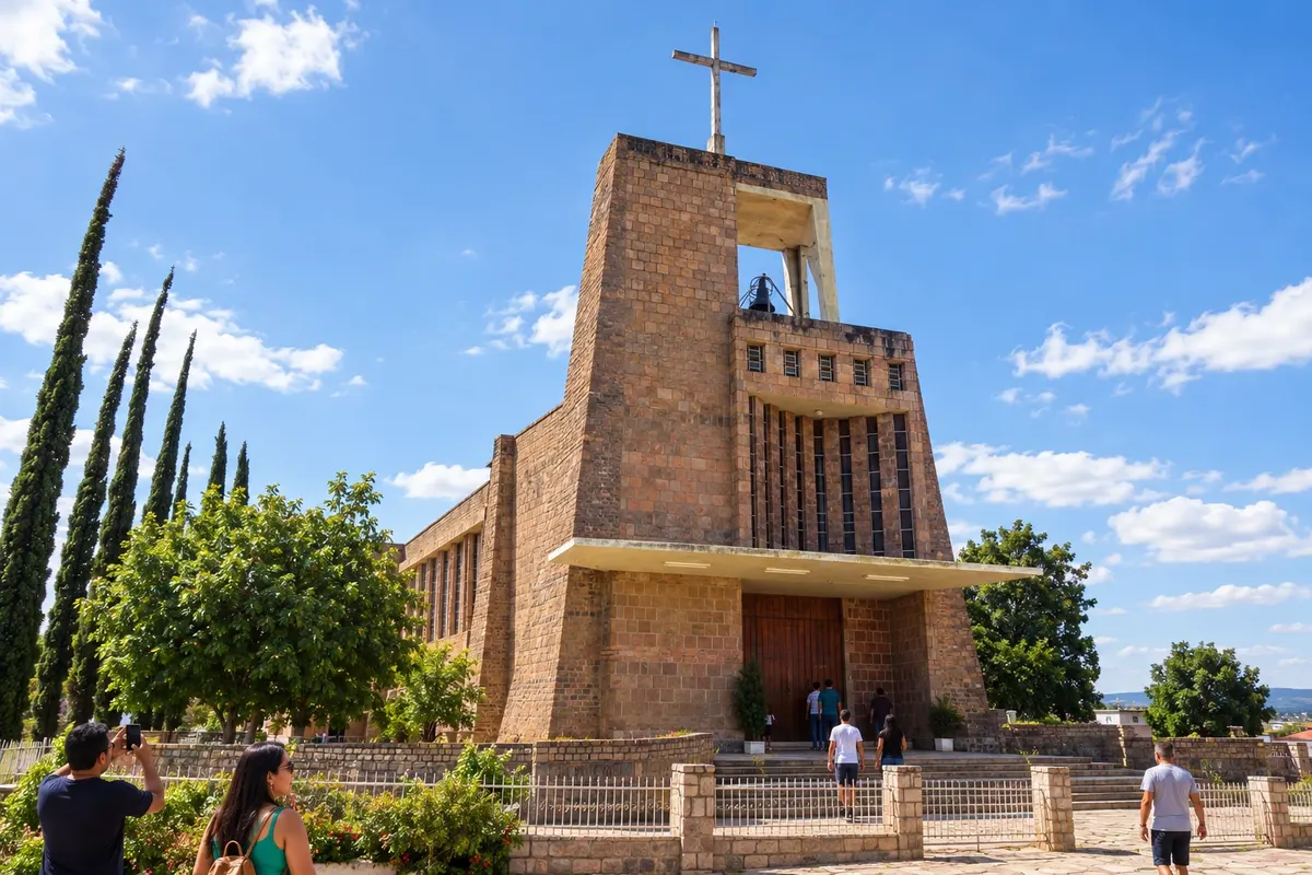
Seabra is a service center of the Chapada on the BR-242 corridor, with a connection to BA-148. The Bom Jesus Church stands out for its use of rose quartz, and the municipality’s history is linked to the former settlement of Cochó. In the Diamond Circuit, the town organizes the western access routes and the Boninal branch.
→ Iraquara From Seabra, organize the connection to the Iraquara regional corridor via BR-242 and BA-122, with a local entrance to the municipal seat and independent accesses to the caves.
-
 15 · BA
Iraquara
Iraquara hosts caves in limestone terrain, with Lapa Doce and Pratinha among the guide’s highlights. The municipal seat and each cave have their own entrances. The branch north of the BR-242 corridor continues toward Souto Soares.
→ Souto Soares BA-122 extends the Iraquara route toward Souto Soares. The rural entrances lie outside that connection between the municipal centers.
-
 16 · BA
Souto Soares
Souto Soares emerged from the former village of Licuri, split off from Seabra, and is connected to the rural roads of the northern Chapada. Communities and agricultural activities shape the municipality’s landscape. In the Diamond Circuit, the municipal seat extends the Iraquara branch along the BA-122 corridor.
-
 17 · BA
Boninal
Boninal’s name is associated with the bonina flower and its landscape is marked by former settlements along the mining routes. Nova Colina is part of its territory, while BA-148 links the municipal seat to the accesses to Seabra. In the Diamond Circuit, the municipality appears as a western branch amid rural areas and Chapada plateaus.
Koliko dni
Eight to twelve days for the central axis and some branches. Covering the eastern stages and all northern and western extensions may require a longer stay, especially if it includes long hikes.
Najboljši čas za obisk
July through September usually has less rain in the mountainous sections, making it easier to organize hikes and dirt-road access. In the central plateaus, rainfall is more frequent from October to April; in eastern and northern localities the rainy period is usually concentrated from November to March or April. Waterfall volumes vary, and trail and cave conditions must be confirmed before departure.
The seasons shown are the most usual ones; nature doesn't always follow the calendar.
Kako prepotovati pot
Use BR-242, BA-142 and regional links as the main axes. The Seabra, Iraquara, Boninal, Wagner and Boa Vista do Tupim branches require returning to the main highways. A car or hired transport makes it easier to alternate bases; trails, caves and waterfalls use local entrances, sometimes on dirt roads. Choose the offered routes and arrange the accesses before you leave.
Komu je pot namenjena
For travelers interested in mining heritage, geology, hiking and rural landscapes, willing to distribute nights among bases and coordinate the driving of local outings.
Odgovori na vaša vprašanja
Pogosta vprašanja – Diamond Circuit
Do I need to travel all the branches on the same trip?
Choose bases and branches according to the time you have. Seabra and the northern caves, the southern part of Ituaçu, and the eastern side of Iramaia involve different travel distances.
Are Igatu and Vale do Capão separate towns?
Igatu is a locality of Andaraí; Vale do Capão belongs to Palmeiras. Each has its own approach in addition to the connection between the municipal seats.
Can I drive from Palmeiras to Andaraí across the park?
The road connection requires returning to BR-242 and taking the BA-142 axis on the eastern side of the ranges. Walk‑through crossings require their own planning and guides.
Should I use a single base for accommodation?
One base works for nearby outings but increases back‑and‑forth on more distant stages. Splitting nights between Lençóis, the southern highlands, and the other chosen bases helps organize access.
Are the waterfalls and caves located next to the main road?
Most have local entrances and their own reception. Arrange the site, vehicle, and hike in advance, and check the regional connection to the town.
How do I choose tours for someone who needs assistance?
Talk with reception about the terrain, length of the walk, steps, and environments involved. Urban streets, outdoor sites, and road sections can have different requirements from trails and caves.
Več kot vodnik


