Andaraí

Bahia · Brazilija

Andaraí

Destinacija: Chapada Diamantina.

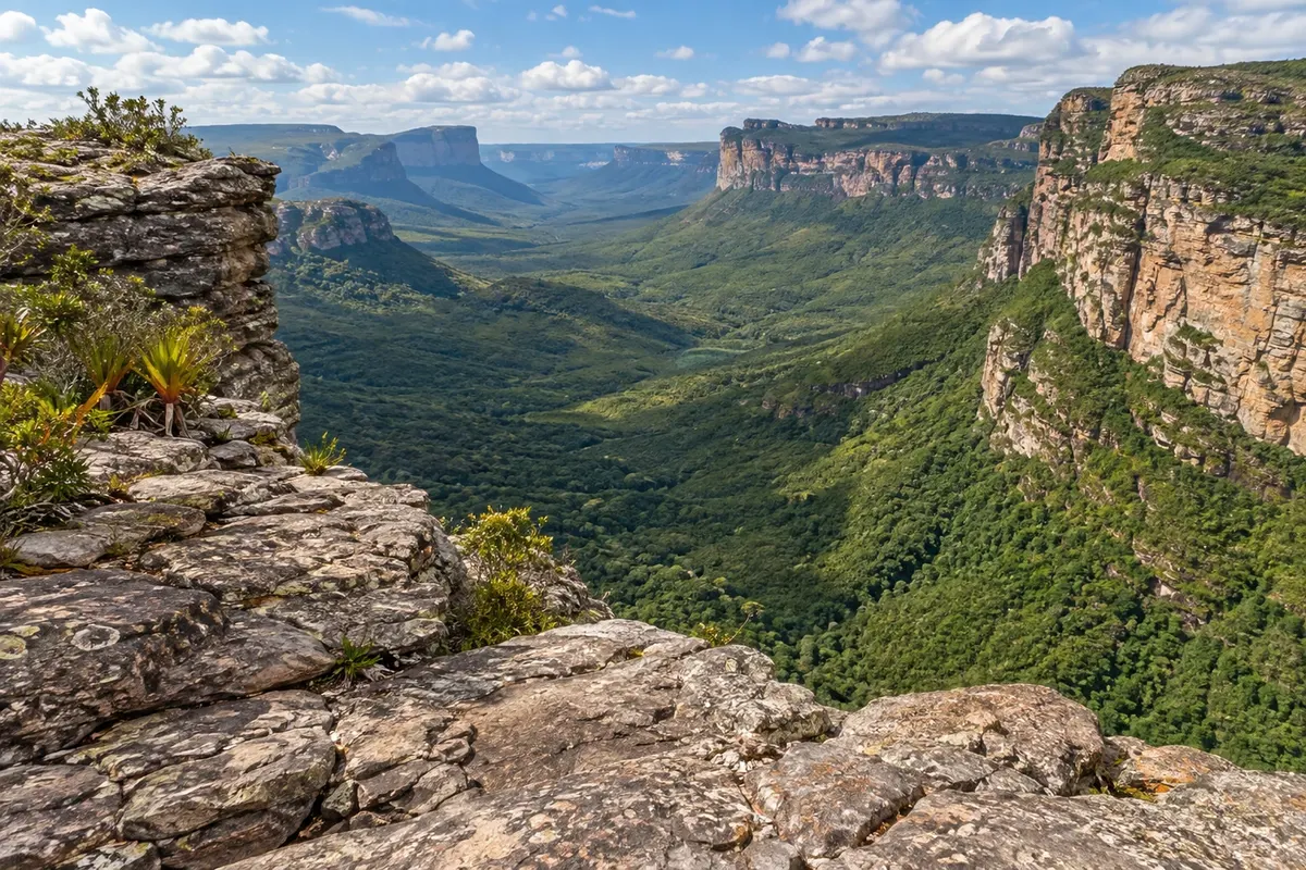
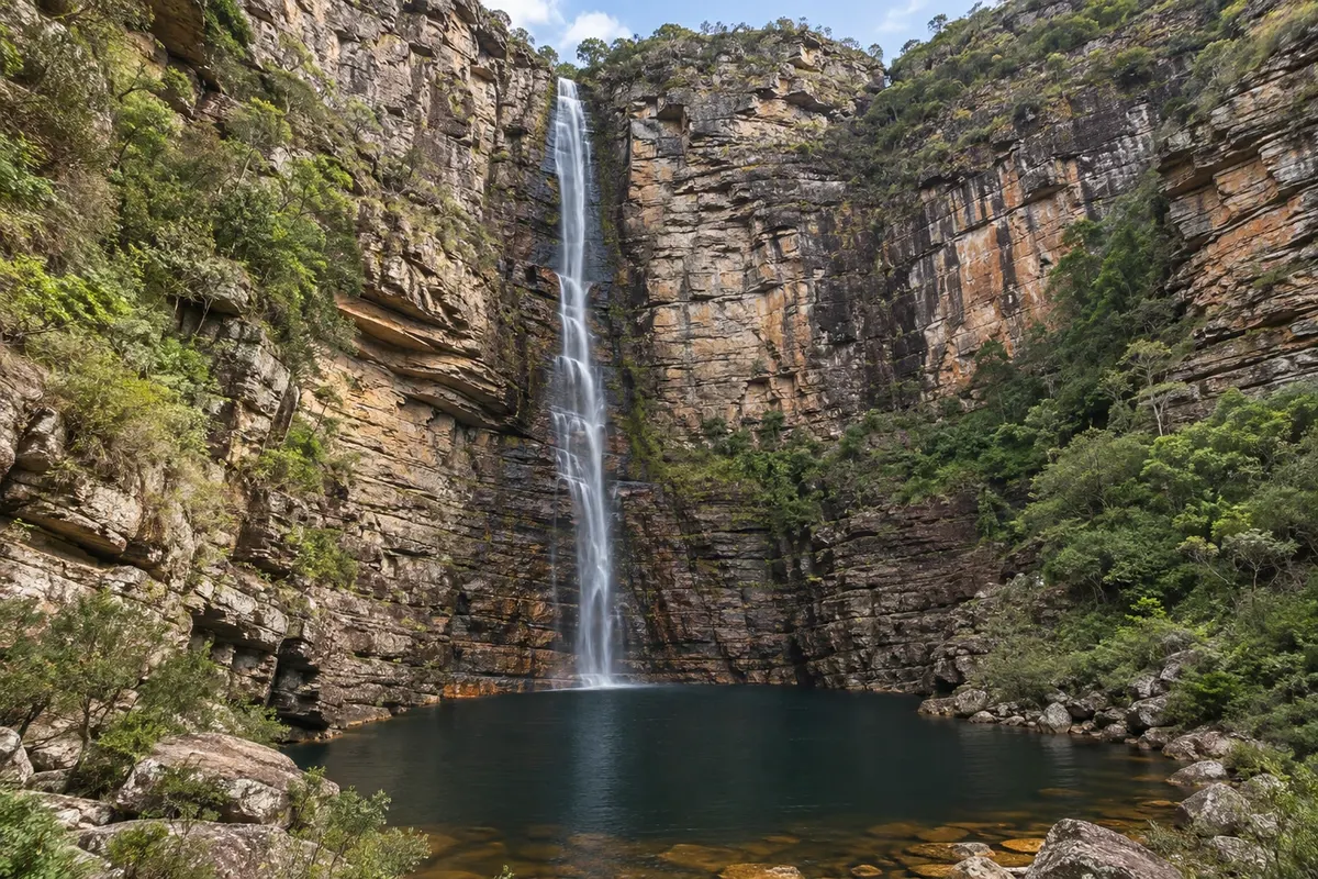
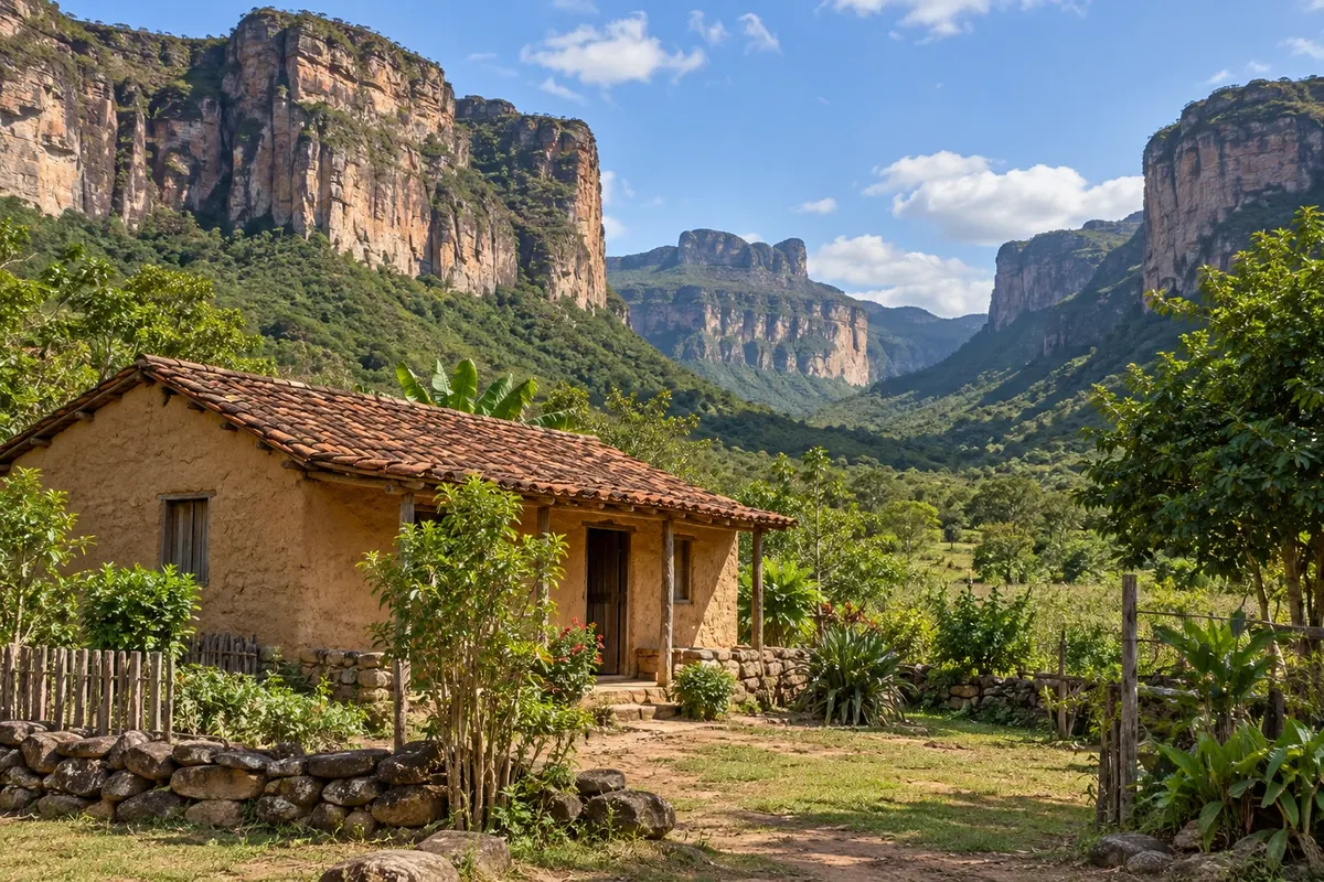
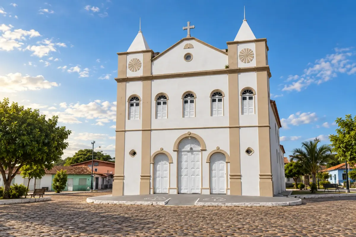
Illustrative images. The pictures in this guide are illustrations based on the real place, not photographs, and may differ from it.

Na voljo v trgovini Google Play Pošljite svoje fotografije

Mesto

Kaj lahko pričakujete – Andaraí.

Andaraí keeps historic houses and memories of diamond mining among the mountains of Chapada Diamantina. Walks around the center can be combined with trails, rivers and valley scenery in the area.

Delite: WhatsApp

Kje prenočiti

Andaraí – število nastanitev: 39.

Kje jesti

Andaraí – v vodniku je 1 lokal.

Vaše potovanje

kako do tja · koliko dni · načrt poti · vprašanja

Andaraí – nazivi in posebnosti

National park

Brazilske poti

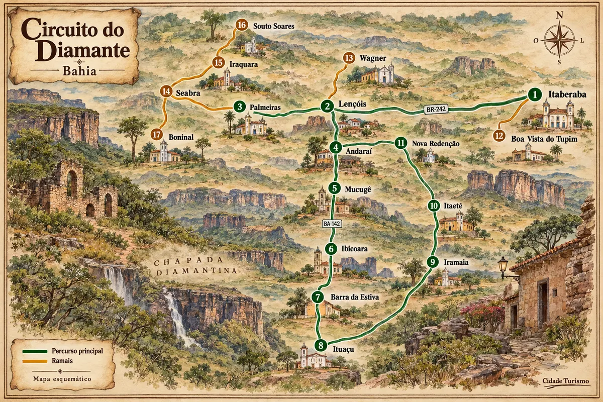
Andaraí – del poti z imenom Diamond Circuit

Mining-era houses, mountain ranges and rural roads among the municipalities of Chapada Diamantina.

Zemljevid je ilustrativen in ni v merilu. Dotaknite se mesta, da odprete njegovo stran.
Diamond Circuit – ilustrirani zemljevid
Več o poti – Diamond Circuit

Doživite kraj

Andaraí: kaj si ogledati

village

Vila de Igatu

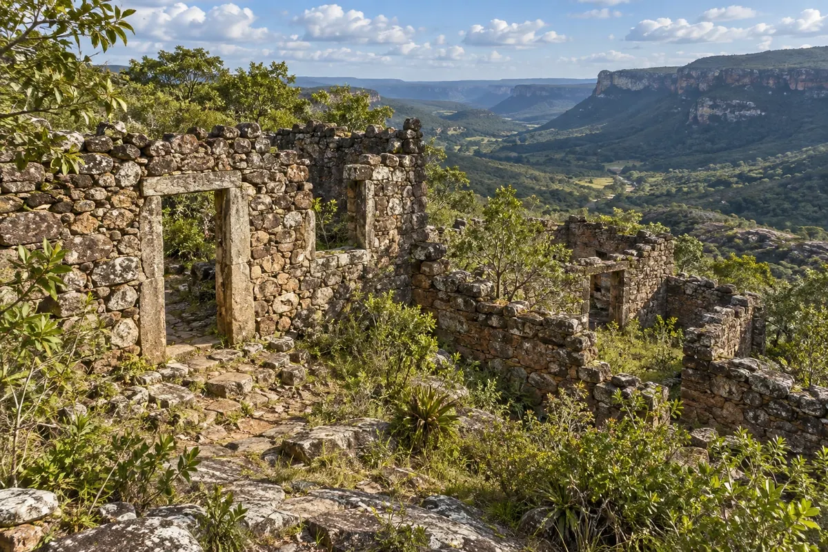
A district that was home to about 9,000 people at the height of diamond mining, in the 19th century, and today has a few hundred residents. Its stone houses and ruins, built without mortar, earned it the nickname "Machu Picchu of Bahia."

Raziščite Vila de Igatu

lookout

Rampa do Caim

A viewpoint in Parque Nacional da Chapada Diamantina overlooking the Paraguaçu River valley, where it meets the Pati River. Access is by a trail of about 7.5 km from the village of Igatu.

Raziščite Rampa do Caim

waterfall

Cachoeira do Ramalho

A waterfall of about 90 meters in Parque Nacional da Chapada Diamantina, reached by a trail of roughly two hours through the Baiano River canyon. The path passes traces of old mining and Poço do Fervedor, and the volume drops in the dry season.

Raziščite Cachoeira do Ramalho

trail

Vale do Pati

Considered one of the most beautiful treks in Brazil, it crosses the valley in three to five days, with nights in local residents' homes. The scenery alternates between cliffs, rivers and viewpoints.

Raziščite Vale do Pati

See 1 more place in Andaraí
flooded area

Pantanal de Marimbus

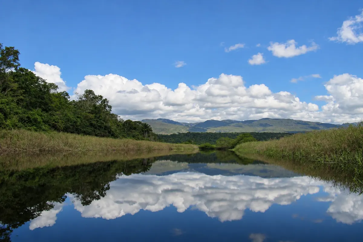
Floodplain between Andaraí and Lençóis, formed by rivers descending from the Chapada Diamantina, with lagoons connected by channels and aquatic plants. The trip is by canoe, guided, among birds, capybaras and caimans.

Raziščite Pantanal de Marimbus

Pred odhodom

Vaše potovanje – Andaraí

Andaraí – BA Destinacija Chapada Diamantina približno 420 km stran (izhodišče: Salvador)

Kako do tja

  • Aeroporto de Lençóis (LEC) Lençóis
  • Aeroporto Internacional de Salvador (SSA) Salvador
  • Rodoviária de Andaraí

Razdalje so približne. Pred potovanjem preverite lete in vozne rede avtobusov, vlakov ali ladij.

Andaraí is about 420 km from Salvador, on the way from Lençóis to Mucugê, via the BA-142. There are buses from Salvador with a change in Itaberaba. The village of Igatu is about 14 km from town, on a stone road, with no buses. Nearest airport: Lençóis; the main one is Salvador.

Koliko dni

Two days: one for Cachoeira do Ramalho and Igatu, another for Rampa do Caim. The Vale do Pati trek, which can start here, takes three to five days on its own.

Kdaj se odpraviti

From April to October, in the dry season, the trails are safer, but the Ramalho waterfall loses volume during this period. From November to March it rains more. The traditional São João festival in June has celebrations in town and in Igatu.

The seasons shown are the most usual ones; nature doesn't always follow the calendar.

Ali potrebujete avto?

In town and within Igatu, you can do everything on foot. To go up to Igatu, reach the trailheads and visit Poço Encantado and Poço Azul, yes, or take a tour with transportation.

Predlog poti

Predlagani vrstni red ogledov

Pot povezuje znamenitosti na tej strani. Za oglede boste imeli dovolj časa.

En dan –Andaraí
  1. Zjutraj
    Cachoeira do Ramalho

    With a local guide, through the Baiano River canyon. The trail passes Poço do Fervedor and takes the whole morning.

  2. Popoldne
    Vila de Igatu

    After lunch, take the stone road up to the village. Walk among the houses and mining ruins until late afternoon.

2 dni – Andaraí

Dan 1

  1. Zjutraj
    Cachoeira do Ramalho

    A trail of about two hours through the canyon, inside the national park. Go with a local guide.

  2. Popoldne
    Vila de Igatu

    Go up to the village and spend the night there: it is closer to the next day's trail.

Dan 2

  1. Zjutraj
    Rampa do Caim

    Leave Igatu early, with a guide. It is about 7.5 km to the viewpoint over Vale do Pati.

  2. Pozno popoldne
    Vila de Igatu

    Back in the village, rest before heading down to town.

Check before you go. Opening hours and days change, and places may close for renovations, holidays or events. This itinerary is a suggestion from Cidade Turismo, not a commitment: plan yours by checking directly with each place you intend to visit.

Pred odhodom

Pogosta vprašanja

Can I stay overnight in Igatu?

Yes. The village has pousadas (guesthouses) and sits at the start of the Rampa do Caim trail. There are no buses there: go by car, taxi or on a tour.

What is the Vale do Pati trek like?

A three to five day hike, with a guide, staying overnight in local residents' homes. It can start in Andaraí, Vale do Capão or Guiné. It requires good fitness.

Do I need a guide for Ramalho and Rampa do Caim?

Go with a local guide to both. The Rampa do Caim trail is long and has forks; Ramalho is inside the national park, in a canyon.

Are Poço Encantado and Poço Azul nearby?

They are about 40 and 48 km from town. If you leave early, you can visit both on the same day.

Delite svoja popotniška doživetja s fotografijami Pošljite fotografije vsakega kraja, ki ste ga obiskali. Največje število fotografij na kraj: 5.
Ogled destinacije Chapada Diamantina Poiščite drugo mesto

Več kot vodnik